[Blocks L. E. and B8]
103-25
-
Map/Doc
90666
-
Collection
Twichell Survey Records
-
Counties
Hartley
-
Height x Width
18.4 x 13.6 inches
46.7 x 34.5 cm
Part of: Twichell Survey Records
[Block Z and vicinity]
![91576, [Block Z and vicinity], Twichell Survey Records](https://historictexasmaps.com/wmedia_w700/maps/91576-1.tif.jpg)
![91576, [Block Z and vicinity], Twichell Survey Records](https://historictexasmaps.com/wmedia_w700/maps/91576-1.tif.jpg)
Print $20.00
- Digital $50.00
[Block Z and vicinity]
1886
Size 32.4 x 11.6 inches
Map/Doc 91576
Block 33, Township 5 South


Print $2.00
- Digital $50.00
Block 33, Township 5 South
1875
Size 8.9 x 9.7 inches
Map/Doc 90751
[Block 36, Township 5N, and Block M]
![90631, [Block 36, Township 5N, and Block M], Twichell Survey Records](https://historictexasmaps.com/wmedia_w700/maps/90631-1.tif.jpg)
![90631, [Block 36, Township 5N, and Block M], Twichell Survey Records](https://historictexasmaps.com/wmedia_w700/maps/90631-1.tif.jpg)
Print $20.00
- Digital $50.00
[Block 36, Township 5N, and Block M]
Size 16.6 x 20.8 inches
Map/Doc 90631
[Capitol Leagues 217-228, 238, and vicinity]
![90672, [Capitol Leagues 217-228, 238, and vicinity], Twichell Survey Records](https://historictexasmaps.com/wmedia_w700/maps/90672-1.tif.jpg)
![90672, [Capitol Leagues 217-228, 238, and vicinity], Twichell Survey Records](https://historictexasmaps.com/wmedia_w700/maps/90672-1.tif.jpg)
Print $20.00
- Digital $50.00
[Capitol Leagues 217-228, 238, and vicinity]
Size 23.0 x 9.9 inches
Map/Doc 90672
[Surveys in the vicinity of Coyote Lake, Bailey County]
![90196, [Surveys in the vicinity of Coyote Lake, Bailey County], Twichell Survey Records](https://historictexasmaps.com/wmedia_w700/maps/90196-1.tif.jpg)
![90196, [Surveys in the vicinity of Coyote Lake, Bailey County], Twichell Survey Records](https://historictexasmaps.com/wmedia_w700/maps/90196-1.tif.jpg)
Print $20.00
- Digital $50.00
[Surveys in the vicinity of Coyote Lake, Bailey County]
1913
Size 27.6 x 27.3 inches
Map/Doc 90196
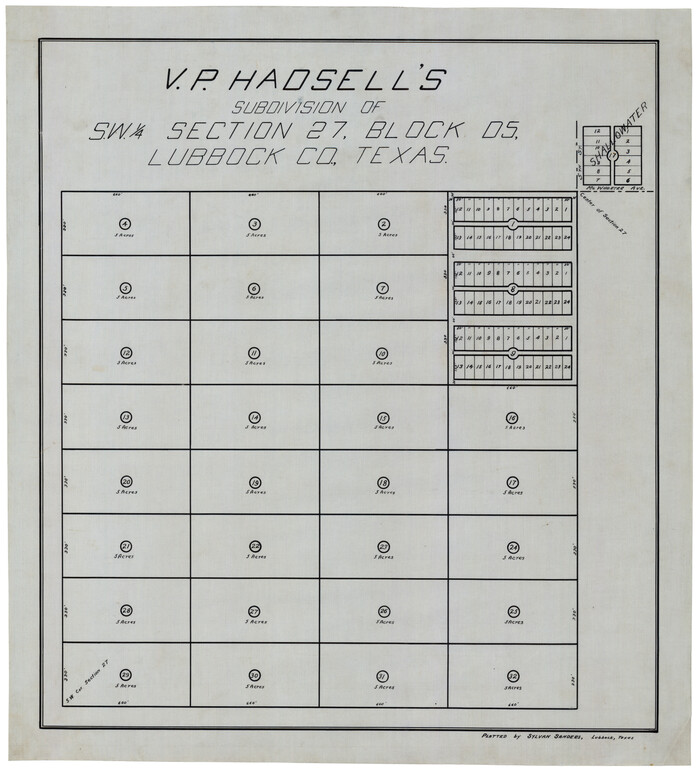
V. P. Hadsell's Subdivision of Southwest Quarter Section 27, Block D5

Print $20.00
- Digital $50.00
V. P. Hadsell's Subdivision of Southwest Quarter Section 27, Block D5
Size 18.4 x 20.0 inches
Map/Doc 92868
[Northwest part of the County]
![90841, [Northwest part of the County], Twichell Survey Records](https://historictexasmaps.com/wmedia_w700/maps/90841-2.tif.jpg)
![90841, [Northwest part of the County], Twichell Survey Records](https://historictexasmaps.com/wmedia_w700/maps/90841-2.tif.jpg)
Print $20.00
- Digital $50.00
[Northwest part of the County]
Size 17.9 x 34.9 inches
Map/Doc 90841
City of Littlefield Lamb County Texas Located on Texas State Capitol League 664


Print $20.00
- Digital $50.00
City of Littlefield Lamb County Texas Located on Texas State Capitol League 664
Size 41.0 x 37.1 inches
Map/Doc 89911
Map showing lands surveyed by Sylvan Sanders in the Southwestern Part of Jack County, Texas for Buttram Petroleum Corporation


Print $20.00
- Digital $50.00
Map showing lands surveyed by Sylvan Sanders in the Southwestern Part of Jack County, Texas for Buttram Petroleum Corporation
1926
Size 29.3 x 25.6 inches
Map/Doc 92159
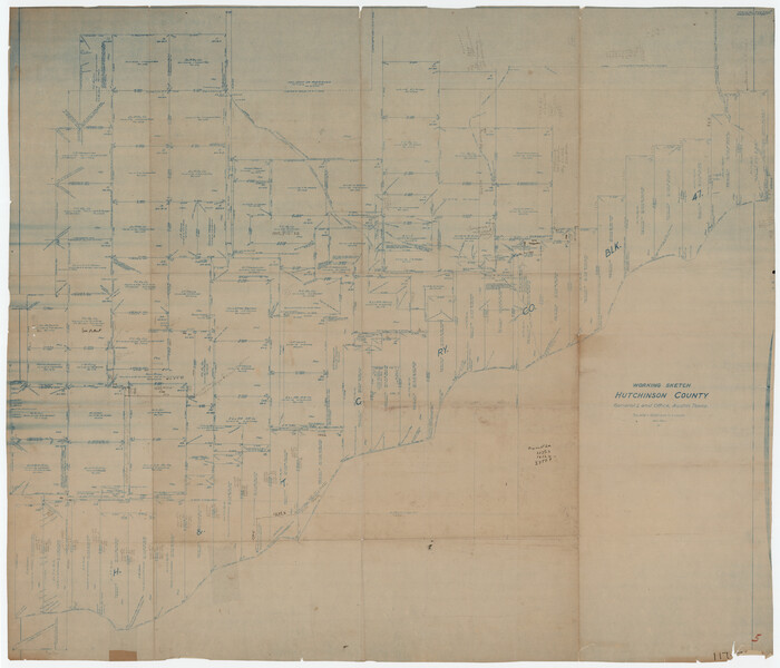
Working Sketch Hutchinson County

Print $20.00
- Digital $50.00
Working Sketch Hutchinson County
1920
Size 43.4 x 37.2 inches
Map/Doc 89709
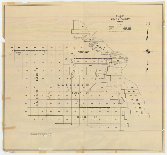
Plat in Pecos County, Texas

Print $20.00
- Digital $50.00
Plat in Pecos County, Texas
Size 39.1 x 36.2 inches
Map/Doc 89830
You may also like
Flight Mission No. DQN-2K, Frame 41, Calhoun County


Print $20.00
- Digital $50.00
Flight Mission No. DQN-2K, Frame 41, Calhoun County
1953
Size 18.5 x 22.2 inches
Map/Doc 84246
Milam County Working Sketch 12


Print $40.00
- Digital $50.00
Milam County Working Sketch 12
Size 44.3 x 56.4 inches
Map/Doc 71027
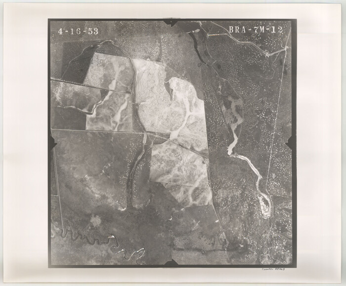
Flight Mission No. BRA-7M, Frame 12, Jefferson County

Print $20.00
- Digital $50.00
Flight Mission No. BRA-7M, Frame 12, Jefferson County
1953
Size 18.5 x 22.3 inches
Map/Doc 85463
Anderson County Working Sketch 38


Print $20.00
- Digital $50.00
Anderson County Working Sketch 38
1985
Size 43.3 x 45.9 inches
Map/Doc 67038
Caldwell County Sketch File 3a
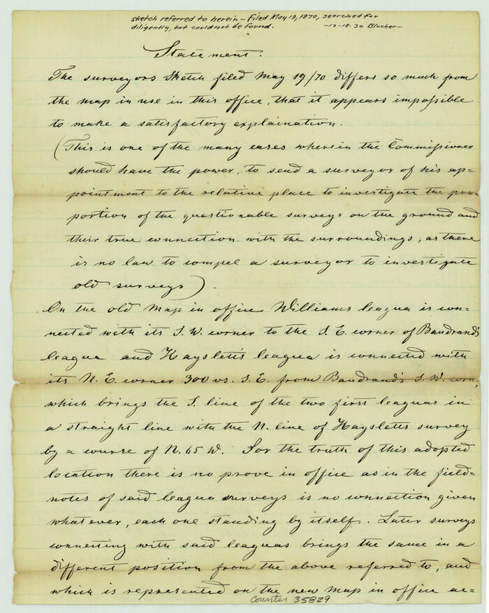

Print $4.00
- Digital $50.00
Caldwell County Sketch File 3a
1870
Size 10.1 x 8.1 inches
Map/Doc 35829
Nacogdoches County Sketch File 2
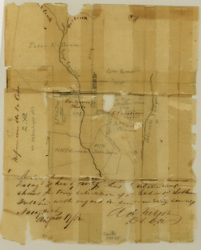

Print $4.00
- Digital $50.00
Nacogdoches County Sketch File 2
1852
Size 8.0 x 6.4 inches
Map/Doc 32235
Western Cotton Oil Co. Property Lamb County, Texas
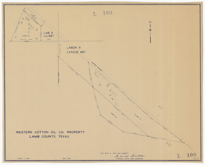

Print $20.00
- Digital $50.00
Western Cotton Oil Co. Property Lamb County, Texas
1951
Size 20.9 x 16.9 inches
Map/Doc 92166
Galveston County Sketch File 8a

Print $6.00
- Digital $50.00
Galveston County Sketch File 8a
1861
Size 12.1 x 11.8 inches
Map/Doc 23367
Montgomery County Rolled Sketch 44
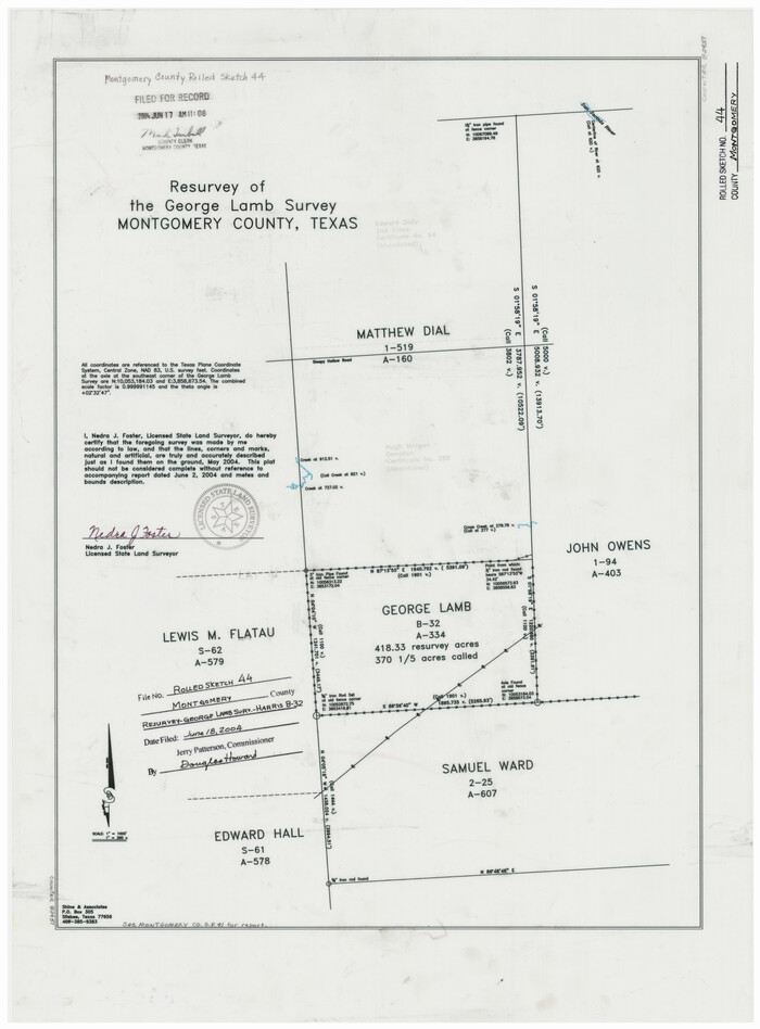

Print $20.00
- Digital $50.00
Montgomery County Rolled Sketch 44
2004
Size 24.5 x 18.1 inches
Map/Doc 82451
Flight Mission No. DQN-1K, Frame 141, Calhoun County


Print $20.00
- Digital $50.00
Flight Mission No. DQN-1K, Frame 141, Calhoun County
1953
Size 18.5 x 22.1 inches
Map/Doc 84204
Plat of a survey of the North part of section 16, Block 362, Martha McBride, Presidio County, Texas


Print $20.00
- Digital $50.00
Plat of a survey of the North part of section 16, Block 362, Martha McBride, Presidio County, Texas
1989
Size 24.3 x 36.1 inches
Map/Doc 60523
Kinney County Sketch File 31


Print $40.00
- Digital $50.00
Kinney County Sketch File 31
1934
Size 15.3 x 13.6 inches
Map/Doc 29176
![90666, [Blocks L. E. and B8], Twichell Survey Records](https://historictexasmaps.com/wmedia_w1800h1800/maps/90666-2.tif.jpg)
