[Capitol Leagues in Southwest Hartley and Northwest Oldham Counties]
103-23
-
Map/Doc
90727
-
Collection
Twichell Survey Records
-
Counties
Hartley
-
Height x Width
14.6 x 20.4 inches
37.1 x 51.8 cm
Part of: Twichell Survey Records
[Sections 6 and 7, Block 12, H. & G. N.]
![91584, [Sections 6 and 7, Block 12, H. & G. N.], Twichell Survey Records](https://historictexasmaps.com/wmedia_w700/maps/91584-1.tif.jpg)
![91584, [Sections 6 and 7, Block 12, H. & G. N.], Twichell Survey Records](https://historictexasmaps.com/wmedia_w700/maps/91584-1.tif.jpg)
Print $2.00
- Digital $50.00
[Sections 6 and 7, Block 12, H. & G. N.]
Size 12.4 x 9.2 inches
Map/Doc 91584
Working Sketch in Stephens County
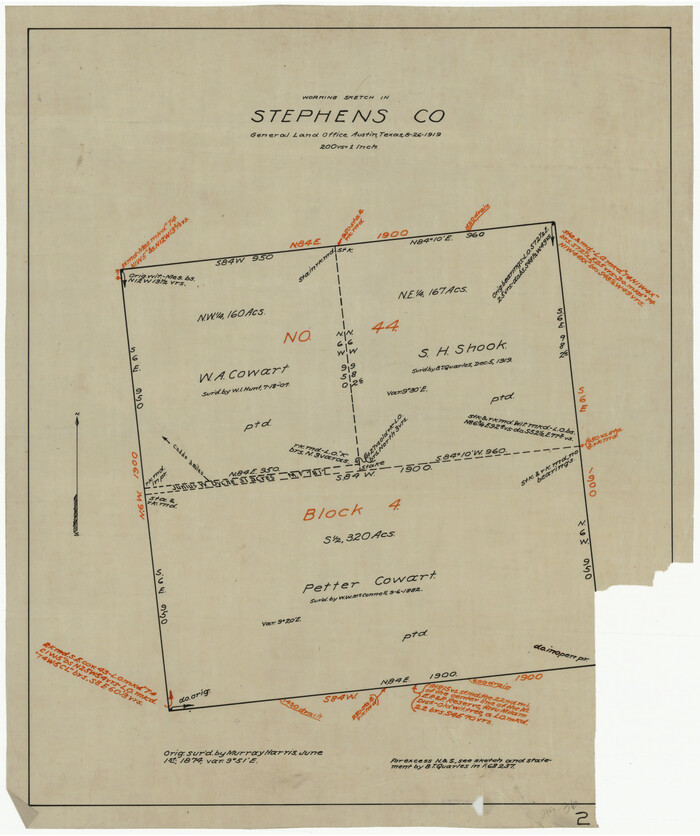

Print $20.00
- Digital $50.00
Working Sketch in Stephens County
1919
Size 15.4 x 18.6 inches
Map/Doc 91912
[Blocks M18, M23, I, Z, and Block 47, Sections 16 - 28]
![91175, [Blocks M18, M23, I, Z, and Block 47, Sections 16 - 28], Twichell Survey Records](https://historictexasmaps.com/wmedia_w700/maps/91175-1.tif.jpg)
![91175, [Blocks M18, M23, I, Z, and Block 47, Sections 16 - 28], Twichell Survey Records](https://historictexasmaps.com/wmedia_w700/maps/91175-1.tif.jpg)
Print $20.00
- Digital $50.00
[Blocks M18, M23, I, Z, and Block 47, Sections 16 - 28]
Size 18.9 x 24.3 inches
Map/Doc 91175
Block A; Melvin, Blum and Blum, Bailey County, Texas
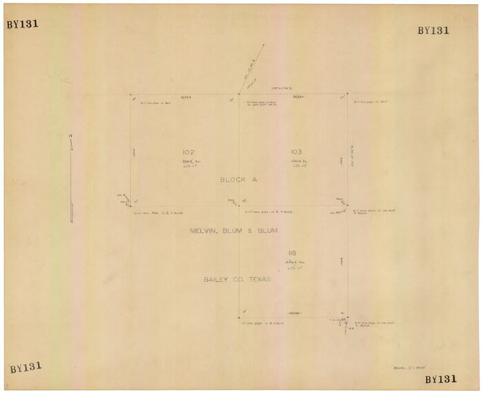

Print $20.00
- Digital $50.00
Block A; Melvin, Blum and Blum, Bailey County, Texas
Size 23.8 x 19.5 inches
Map/Doc 92539
Ellwood Corrections, Block T
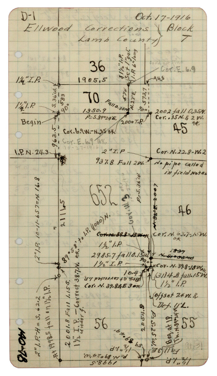

Print $2.00
- Digital $50.00
Ellwood Corrections, Block T
Size 4.0 x 7.0 inches
Map/Doc 90952
S. F. Singleton's Lands Sold to H. B. Herd, Located in Southwest Part of Lynn County
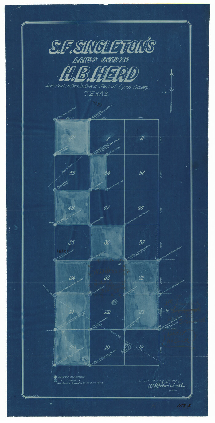

Print $20.00
- Digital $50.00
S. F. Singleton's Lands Sold to H. B. Herd, Located in Southwest Part of Lynn County
1908
Size 12.1 x 23.1 inches
Map/Doc 91339
Revised Map of Block "A", Parmer County
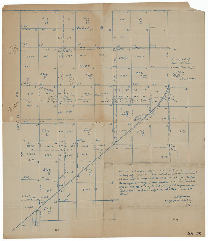

Print $20.00
- Digital $50.00
Revised Map of Block "A", Parmer County
1913
Size 21.1 x 23.9 inches
Map/Doc 91609
[Gunter & Munson and Surrounding Surveys]
![91238, [Gunter & Munson and Surrounding Surveys], Twichell Survey Records](https://historictexasmaps.com/wmedia_w700/maps/91238-1.tif.jpg)
![91238, [Gunter & Munson and Surrounding Surveys], Twichell Survey Records](https://historictexasmaps.com/wmedia_w700/maps/91238-1.tif.jpg)
Print $20.00
- Digital $50.00
[Gunter & Munson and Surrounding Surveys]
Size 16.3 x 21.4 inches
Map/Doc 91238
Map of the Survey of the 100th Meridian of Longitude west of Greenwich beginning at Red River and extending to the parallel 36 1/2 degrees north latitude


Print $40.00
- Digital $50.00
Map of the Survey of the 100th Meridian of Longitude west of Greenwich beginning at Red River and extending to the parallel 36 1/2 degrees north latitude
Size 11.4 x 111.7 inches
Map/Doc 93191
[Survey 1, Block MT, and vicinity]
![90683, [Survey 1, Block MT, and vicinity], Twichell Survey Records](https://historictexasmaps.com/wmedia_w700/maps/90683-1.tif.jpg)
![90683, [Survey 1, Block MT, and vicinity], Twichell Survey Records](https://historictexasmaps.com/wmedia_w700/maps/90683-1.tif.jpg)
Print $3.00
- Digital $50.00
[Survey 1, Block MT, and vicinity]
1903
Size 11.1 x 14.6 inches
Map/Doc 90683
[Beaty and Moulton Block A, Southern Pacific Railroad Block 2]
![91398, [Beaty and Moulton Block A, Southern Pacific Railroad Block 2], Twichell Survey Records](https://historictexasmaps.com/wmedia_w700/maps/91398-1.tif.jpg)
![91398, [Beaty and Moulton Block A, Southern Pacific Railroad Block 2], Twichell Survey Records](https://historictexasmaps.com/wmedia_w700/maps/91398-1.tif.jpg)
Print $20.00
- Digital $50.00
[Beaty and Moulton Block A, Southern Pacific Railroad Block 2]
1914
Size 24.2 x 15.4 inches
Map/Doc 91398
[Lynn County School Land Leagues 292, 293, PSL Block C-30, and D. W. RR. Co. Block H]
![90797, [Lynn County School Land Leagues 292, 293, PSL Block C-30, and D. W. RR. Co. Block H], Twichell Survey Records](https://historictexasmaps.com/wmedia_w700/maps/90797-1.tif.jpg)
![90797, [Lynn County School Land Leagues 292, 293, PSL Block C-30, and D. W. RR. Co. Block H], Twichell Survey Records](https://historictexasmaps.com/wmedia_w700/maps/90797-1.tif.jpg)
Print $20.00
- Digital $50.00
[Lynn County School Land Leagues 292, 293, PSL Block C-30, and D. W. RR. Co. Block H]
Size 21.3 x 20.6 inches
Map/Doc 90797
You may also like
Map of Nacogdoches County


Print $20.00
- Digital $50.00
Map of Nacogdoches County
1846
Size 43.8 x 39.2 inches
Map/Doc 87357
Outer Continental Shelf Leasing Maps (Louisiana Offshore Operations)


Print $20.00
- Digital $50.00
Outer Continental Shelf Leasing Maps (Louisiana Offshore Operations)
1955
Size 8.8 x 10.0 inches
Map/Doc 76091
Llano County Sketch File 17
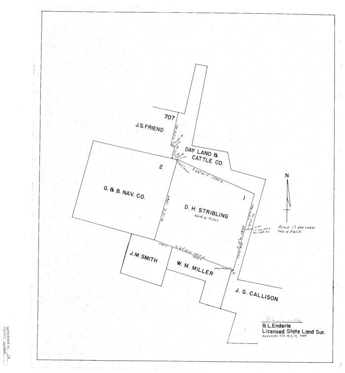

Print $20.00
- Digital $50.00
Llano County Sketch File 17
1949
Size 21.8 x 20.2 inches
Map/Doc 12012
Surveys in Greer Co.
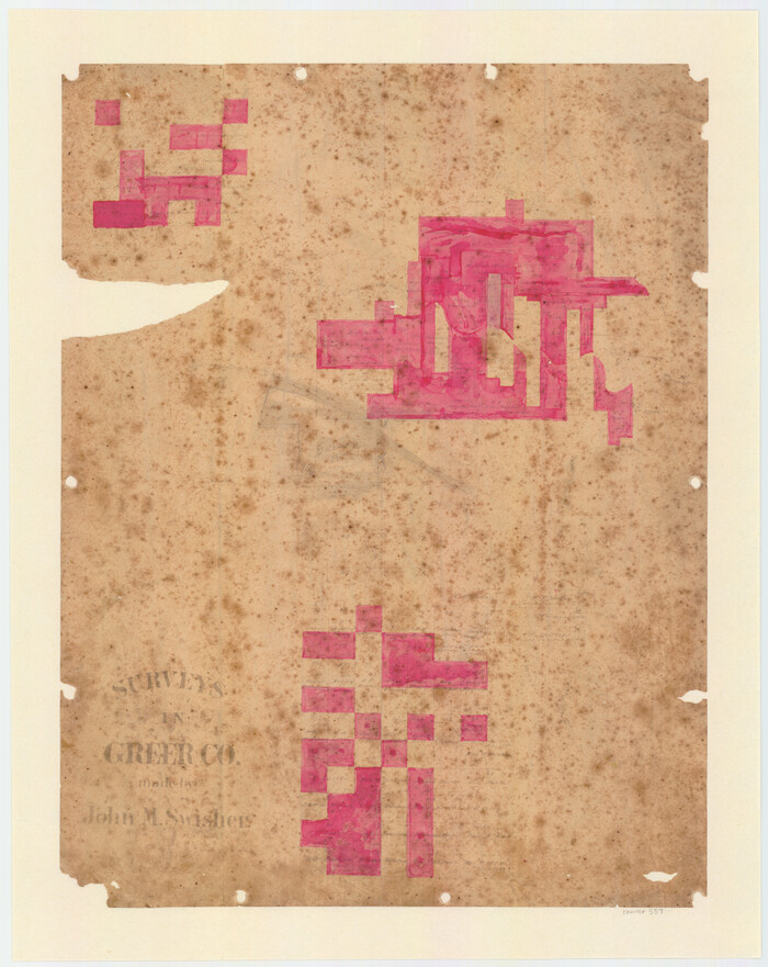

Print $20.00
- Digital $50.00
Surveys in Greer Co.
Size 16.6 x 14.4 inches
Map/Doc 557
Sketch in Floyd County


Print $20.00
- Digital $50.00
Sketch in Floyd County
1911
Size 25.3 x 41.8 inches
Map/Doc 90916
Webb County Sketch File 7
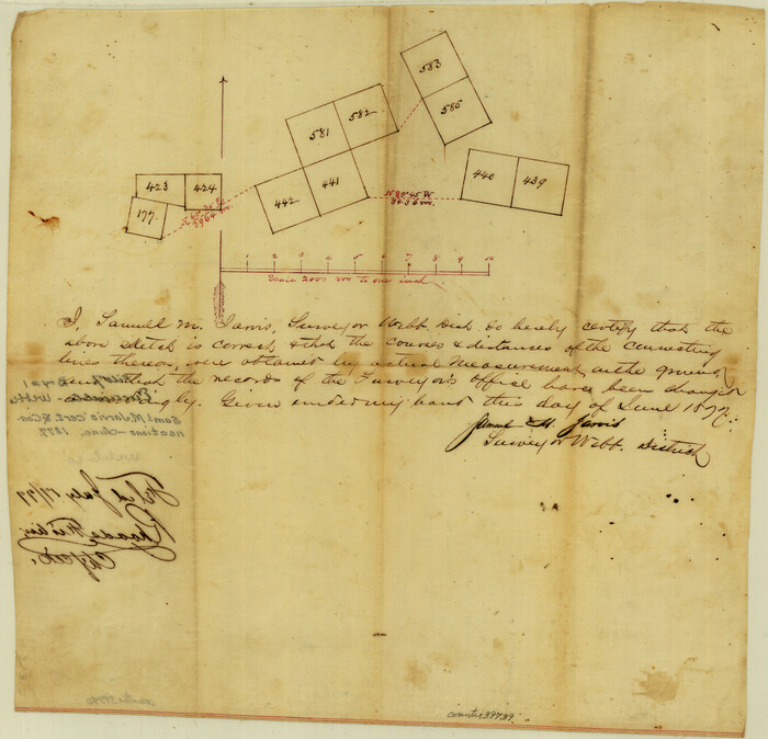

Print $40.00
- Digital $50.00
Webb County Sketch File 7
1877
Size 13.7 x 14.3 inches
Map/Doc 39739
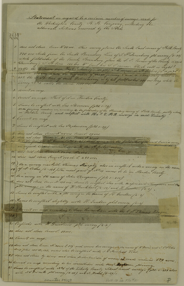
Polk County Sketch File 21

Print $8.00
- Digital $50.00
Polk County Sketch File 21
Size 12.9 x 8.3 inches
Map/Doc 34169
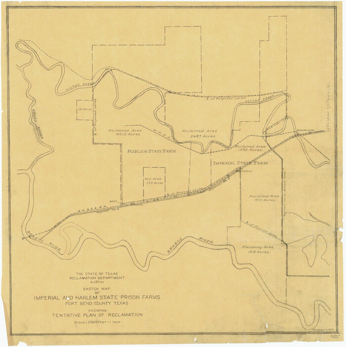
Brazos River, Sketch Map of Imperial and Harlem State Prison Farms, Fort Bend County Texas Showing Tentative Plan of Reclamation

Print $20.00
- Digital $50.00
Brazos River, Sketch Map of Imperial and Harlem State Prison Farms, Fort Bend County Texas Showing Tentative Plan of Reclamation
1929
Size 25.6 x 25.6 inches
Map/Doc 69681
General Highway Map, Kimble County, Texas


Print $20.00
General Highway Map, Kimble County, Texas
1940
Size 24.8 x 18.3 inches
Map/Doc 79160
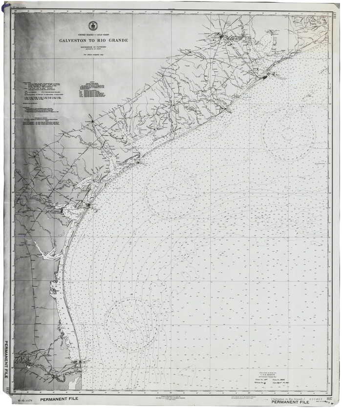
Galveston to Rio Grande

Print $20.00
- Digital $50.00
Galveston to Rio Grande
1941
Size 43.7 x 37.1 inches
Map/Doc 69957
Map of Hill County


Print $20.00
- Digital $50.00
Map of Hill County
1857
Size 21.5 x 25.6 inches
Map/Doc 3672
The Chief Justice County of Brazoria. Lands in Conflict with Colorado, Harrisburg, Matagorda Counties


Print $20.00
The Chief Justice County of Brazoria. Lands in Conflict with Colorado, Harrisburg, Matagorda Counties
2020
Size 14.8 x 21.7 inches
Map/Doc 96043
![90727, [Capitol Leagues in Southwest Hartley and Northwest Oldham Counties], Twichell Survey Records](https://historictexasmaps.com/wmedia_w1800h1800/maps/90727-1.tif.jpg)