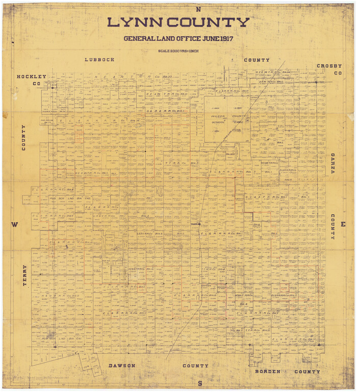
[Corner of Crosby, Lubbock, Lynn and Garza Counties]
85-38
-
Map/Doc
90905
-
Collection
Twichell Survey Records
-
Counties
Garza
-
Height x Width
36.0 x 22.8 inches
91.4 x 57.9 cm
Part of: Twichell Survey Records
[Southeast part of Block D and Blocks DD, C31-C37, AX, G and H]
![92012, [Southeast part of Block D and Blocks DD, C31-C37, AX, G and H], Twichell Survey Records](https://historictexasmaps.com/wmedia_w700/maps/92012-1.tif.jpg)
![92012, [Southeast part of Block D and Blocks DD, C31-C37, AX, G and H], Twichell Survey Records](https://historictexasmaps.com/wmedia_w700/maps/92012-1.tif.jpg)
Print $20.00
- Digital $50.00
[Southeast part of Block D and Blocks DD, C31-C37, AX, G and H]
Size 21.4 x 15.0 inches
Map/Doc 92012
Whitharral Located on West Half of Labor 11, Capitol League 716 Hockley County, Texas


Print $20.00
- Digital $50.00
Whitharral Located on West Half of Labor 11, Capitol League 716 Hockley County, Texas
Size 17.5 x 20.9 inches
Map/Doc 92261
Plat of S. F. No. 12462, S. F. No. 12461, and Adjacent Sur.


Print $20.00
- Digital $50.00
Plat of S. F. No. 12462, S. F. No. 12461, and Adjacent Sur.
1922
Size 21.2 x 20.1 inches
Map/Doc 90172
[Jas. T. Williams Survey and vicinity]
![91263, [Jas. T. Williams Survey and vicinity], Twichell Survey Records](https://historictexasmaps.com/wmedia_w700/maps/91263-1.tif.jpg)
![91263, [Jas. T. Williams Survey and vicinity], Twichell Survey Records](https://historictexasmaps.com/wmedia_w700/maps/91263-1.tif.jpg)
Print $20.00
- Digital $50.00
[Jas. T. Williams Survey and vicinity]
Size 27.0 x 22.1 inches
Map/Doc 91263
[Blocks 34-36, Township 3N]
![92028, [Blocks 34-36, Township 3N], Twichell Survey Records](https://historictexasmaps.com/wmedia_w700/maps/92028-1.tif.jpg)
![92028, [Blocks 34-36, Township 3N], Twichell Survey Records](https://historictexasmaps.com/wmedia_w700/maps/92028-1.tif.jpg)
Print $20.00
- Digital $50.00
[Blocks 34-36, Township 3N]
Size 36.5 x 23.7 inches
Map/Doc 92028
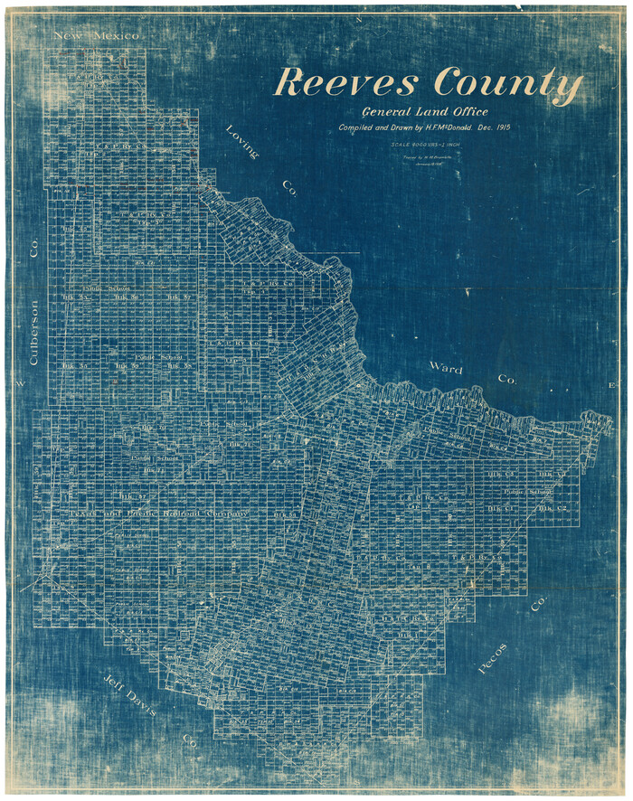
Reeves County

Print $20.00
- Digital $50.00
Reeves County
1915
Size 23.6 x 29.8 inches
Map/Doc 92896
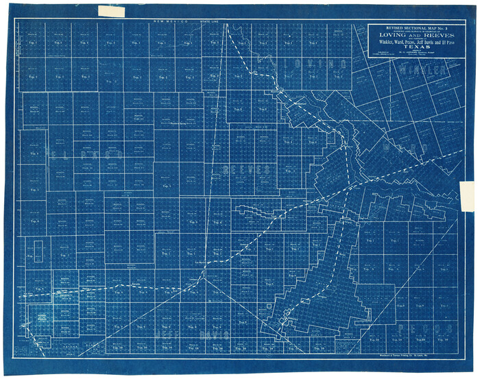
Revised Sectional Map No. 3 Showing Land Surveys in Counties of Loving and Reeves and Portions of Winkler, Ward, Pecos, Jeff Davis and El Paso

Print $20.00
- Digital $50.00
Revised Sectional Map No. 3 Showing Land Surveys in Counties of Loving and Reeves and Portions of Winkler, Ward, Pecos, Jeff Davis and El Paso
Size 24.7 x 19.4 inches
Map/Doc 92902
Replat of Baker 2nd Addition to Lamesa, Part of Southwest Quarter, Section 71, Block 35, Dawson County, Texas


Print $20.00
- Digital $50.00
Replat of Baker 2nd Addition to Lamesa, Part of Southwest Quarter, Section 71, Block 35, Dawson County, Texas
1958
Size 9.9 x 18.8 inches
Map/Doc 92633
[Fisher County School Land Lgs. 106-108]
![90198, [Fisher County School Land Lgs. 106-108], Twichell Survey Records](https://historictexasmaps.com/wmedia_w700/maps/90198-1.tif.jpg)
![90198, [Fisher County School Land Lgs. 106-108], Twichell Survey Records](https://historictexasmaps.com/wmedia_w700/maps/90198-1.tif.jpg)
Print $20.00
- Digital $50.00
[Fisher County School Land Lgs. 106-108]
Size 11.7 x 18.4 inches
Map/Doc 90198
[West line of H. & T. C. Block 97]
![90210, [West line of H. & T. C. Block 97], Twichell Survey Records](https://historictexasmaps.com/wmedia_w700/maps/90210-1.tif.jpg)
![90210, [West line of H. & T. C. Block 97], Twichell Survey Records](https://historictexasmaps.com/wmedia_w700/maps/90210-1.tif.jpg)
Print $20.00
- Digital $50.00
[West line of H. & T. C. Block 97]
Size 19.7 x 35.1 inches
Map/Doc 90210
[Block M21, B. S. & F. Block 3, I. & G. N. Block 4, and Part of Block 46]
![91178, [Block M21, B. S. & F. Block 3, I. & G. N. Block 4, and Part of Block 46], Twichell Survey Records](https://historictexasmaps.com/wmedia_w700/maps/91178-1.tif.jpg)
![91178, [Block M21, B. S. & F. Block 3, I. & G. N. Block 4, and Part of Block 46], Twichell Survey Records](https://historictexasmaps.com/wmedia_w700/maps/91178-1.tif.jpg)
Print $20.00
- Digital $50.00
[Block M21, B. S. & F. Block 3, I. & G. N. Block 4, and Part of Block 46]
Size 19.6 x 17.9 inches
Map/Doc 91178
You may also like
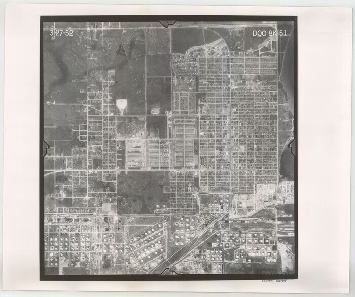
Flight Mission No. DQO-8K, Frame 51, Galveston County

Print $20.00
- Digital $50.00
Flight Mission No. DQO-8K, Frame 51, Galveston County
1952
Size 18.7 x 22.3 inches
Map/Doc 85158
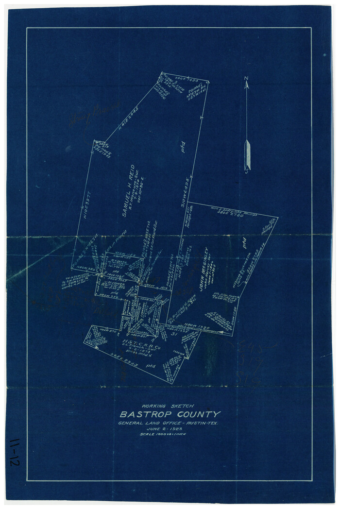
Working Sketch, Bastrop County

Print $3.00
- Digital $50.00
Working Sketch, Bastrop County
1923
Size 10.1 x 15.3 inches
Map/Doc 90113
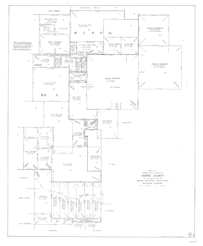
Harris County Working Sketch 91

Print $20.00
- Digital $50.00
Harris County Working Sketch 91
1973
Size 44.6 x 36.9 inches
Map/Doc 65983
Wichita County Working Sketch 26


Print $20.00
- Digital $50.00
Wichita County Working Sketch 26
1981
Size 13.1 x 21.0 inches
Map/Doc 72536
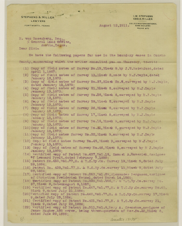
Concho County Sketch File 31

Print $30.00
- Digital $50.00
Concho County Sketch File 31
1911
Size 11.2 x 9.0 inches
Map/Doc 19175
Cooke County Sketch File 33


Print $44.00
- Digital $50.00
Cooke County Sketch File 33
1873
Size 13.4 x 26.5 inches
Map/Doc 11174
Flight Mission No. DCL-6C, Frame 13, Kenedy County


Print $20.00
- Digital $50.00
Flight Mission No. DCL-6C, Frame 13, Kenedy County
1943
Size 18.6 x 22.3 inches
Map/Doc 85870
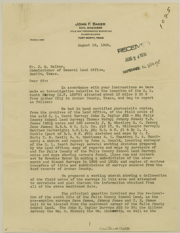
Archer County Sketch File 22

Print $12.00
- Digital $50.00
Archer County Sketch File 22
1936
Size 11.1 x 8.6 inches
Map/Doc 13658
A Geographically Correct County Map of States Traversed by the St. Louis, Iron Mountain & Southern Railway and its Connections


Print $20.00
- Digital $50.00
A Geographically Correct County Map of States Traversed by the St. Louis, Iron Mountain & Southern Railway and its Connections
1877
Size 18.5 x 16.1 inches
Map/Doc 95782
Jefferson County Working Sketch 10


Print $40.00
- Digital $50.00
Jefferson County Working Sketch 10
1942
Size 35.0 x 49.4 inches
Map/Doc 66553
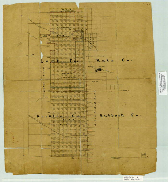
Hockley County Sketch File 1

Print $20.00
- Digital $50.00
Hockley County Sketch File 1
Size 20.3 x 18.9 inches
Map/Doc 11767
![90905, [Corner of Crosby, Lubbock, Lynn and Garza Counties], Twichell Survey Records](https://historictexasmaps.com/wmedia_w1800h1800/maps/90905-1.tif.jpg)
