[John P. Rohus and surrounding surveys]
129-14
-
Map/Doc
90974
-
Collection
Twichell Survey Records
-
Counties
Kaufman
-
Height x Width
26.1 x 19.9 inches
66.3 x 50.6 cm
Part of: Twichell Survey Records
[Capitol Lands in Oldham and Deaf Smith Counties]
![91482, [Capitol Lands in Oldham and Deaf Smith Counties], Twichell Survey Records](https://historictexasmaps.com/wmedia_w700/maps/91482-1.tif.jpg)
![91482, [Capitol Lands in Oldham and Deaf Smith Counties], Twichell Survey Records](https://historictexasmaps.com/wmedia_w700/maps/91482-1.tif.jpg)
Print $20.00
- Digital $50.00
[Capitol Lands in Oldham and Deaf Smith Counties]
Size 23.2 x 25.8 inches
Map/Doc 91482
Working Sketch in Eastland County


Print $20.00
- Digital $50.00
Working Sketch in Eastland County
1919
Size 20.1 x 14.6 inches
Map/Doc 90931
[Sketch showing parts of PSL Bloks Q, L, and P]
![89687, [Sketch showing parts of PSL Bloks Q, L, and P], Twichell Survey Records](https://historictexasmaps.com/wmedia_w700/maps/89687-1.tif.jpg)
![89687, [Sketch showing parts of PSL Bloks Q, L, and P], Twichell Survey Records](https://historictexasmaps.com/wmedia_w700/maps/89687-1.tif.jpg)
Print $40.00
- Digital $50.00
[Sketch showing parts of PSL Bloks Q, L, and P]
Size 62.4 x 23.2 inches
Map/Doc 89687
G & H Blocks, Gaines County, Texas Resurvey
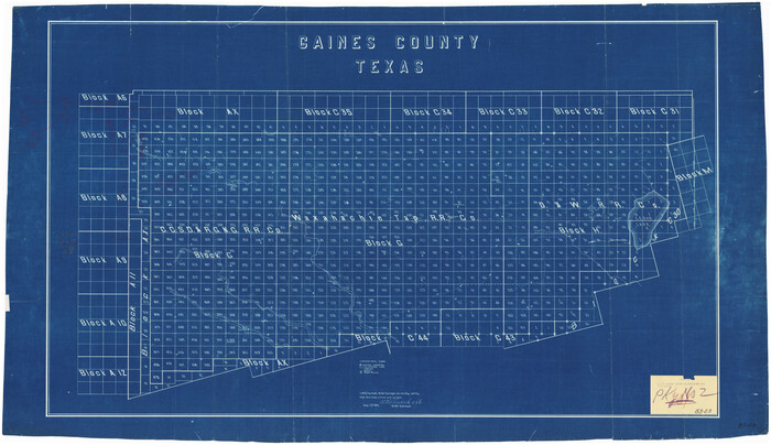

Print $40.00
- Digital $50.00
G & H Blocks, Gaines County, Texas Resurvey
1915
Size 58.4 x 34.1 inches
Map/Doc 89668
Famous Heights Park Addition, Map Showing Proposed Park and Plan of Subdividing Famous Heights Plus Park, Addition to the city of Amarillo, Texas


Print $40.00
- Digital $50.00
Famous Heights Park Addition, Map Showing Proposed Park and Plan of Subdividing Famous Heights Plus Park, Addition to the city of Amarillo, Texas
1907
Size 62.5 x 37.4 inches
Map/Doc 93117
[Hockley, Lubbock, Terry and Lynn Corner]
![92954, [Hockley, Lubbock, Terry and Lynn Corner], Twichell Survey Records](https://historictexasmaps.com/wmedia_w700/maps/92954-1.tif.jpg)
![92954, [Hockley, Lubbock, Terry and Lynn Corner], Twichell Survey Records](https://historictexasmaps.com/wmedia_w700/maps/92954-1.tif.jpg)
Print $20.00
- Digital $50.00
[Hockley, Lubbock, Terry and Lynn Corner]
Size 24.5 x 18.9 inches
Map/Doc 92954
[Pencil sketch of Wm. Rivers survey]
![91969, [Pencil sketch of Wm. Rivers survey], Twichell Survey Records](https://historictexasmaps.com/wmedia_w700/maps/91969-1.tif.jpg)
![91969, [Pencil sketch of Wm. Rivers survey], Twichell Survey Records](https://historictexasmaps.com/wmedia_w700/maps/91969-1.tif.jpg)
Print $3.00
- Digital $50.00
[Pencil sketch of Wm. Rivers survey]
Size 9.9 x 16.1 inches
Map/Doc 91969
Killian Subdivision of the Northeast Portion of Section 42, Block AK
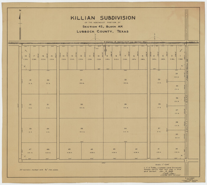

Print $20.00
- Digital $50.00
Killian Subdivision of the Northeast Portion of Section 42, Block AK
Size 15.9 x 14.1 inches
Map/Doc 92267
[Pencil sketch around J. Walters, J. G. Welchmeyer, R. Gage surveys]
![90206, [Pencil sketch around J. Walters, J. G. Welchmeyer, R. Gage surveys], Twichell Survey Records](https://historictexasmaps.com/wmedia_w700/maps/90206-1.tif.jpg)
![90206, [Pencil sketch around J. Walters, J. G. Welchmeyer, R. Gage surveys], Twichell Survey Records](https://historictexasmaps.com/wmedia_w700/maps/90206-1.tif.jpg)
Print $20.00
- Digital $50.00
[Pencil sketch around J. Walters, J. G. Welchmeyer, R. Gage surveys]
Size 25.5 x 21.7 inches
Map/Doc 90206
[Warren Additions 3 and 4 and vicinity]
![92464, [Warren Additions 3 and 4 and vicinity], Twichell Survey Records](https://historictexasmaps.com/wmedia_w700/maps/92464-1.tif.jpg)
![92464, [Warren Additions 3 and 4 and vicinity], Twichell Survey Records](https://historictexasmaps.com/wmedia_w700/maps/92464-1.tif.jpg)
Print $20.00
- Digital $50.00
[Warren Additions 3 and 4 and vicinity]
Size 23.9 x 19.5 inches
Map/Doc 92464
[H. & G. N. Block 1]
![90941, [H. & G. N. Block 1], Twichell Survey Records](https://historictexasmaps.com/wmedia_w700/maps/90941-1.tif.jpg)
![90941, [H. & G. N. Block 1], Twichell Survey Records](https://historictexasmaps.com/wmedia_w700/maps/90941-1.tif.jpg)
Print $20.00
- Digital $50.00
[H. & G. N. Block 1]
1873
Size 17.5 x 14.3 inches
Map/Doc 90941
Plat Showing Subdivision of Howard County School Land Hockley County, Texas
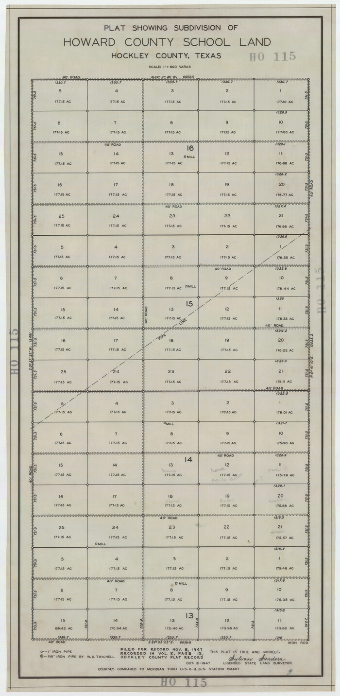

Print $20.00
- Digital $50.00
Plat Showing Subdivision of Howard County School Land Hockley County, Texas
1947
Size 13.9 x 28.1 inches
Map/Doc 92256
You may also like
Crockett County Working Sketch 88
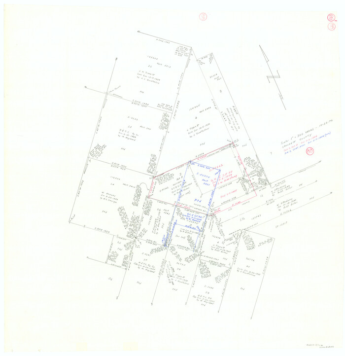

Print $20.00
- Digital $50.00
Crockett County Working Sketch 88
1976
Size 34.0 x 32.9 inches
Map/Doc 68421
Sabine Pass and mouth of the River Sabine in the sea


Print $20.00
- Digital $50.00
Sabine Pass and mouth of the River Sabine in the sea
1840
Size 23.8 x 19.0 inches
Map/Doc 94268
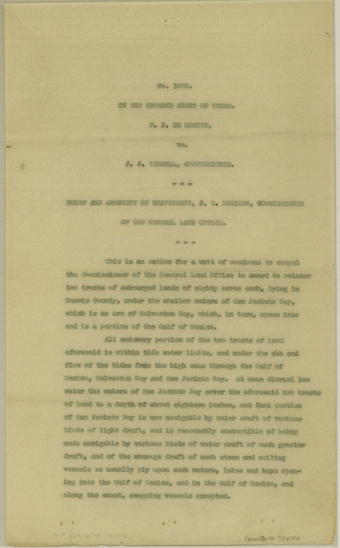
Old Miscellaneous File 19

Print $32.00
- Digital $50.00
Old Miscellaneous File 19
Size 14.2 x 8.8 inches
Map/Doc 75499
[Blocks H, Z, Rodriguez League, and vicinity]
![91174, [Blocks H, Z, Rodriguez League, and vicinity], Twichell Survey Records](https://historictexasmaps.com/wmedia_w700/maps/91174-1.tif.jpg)
![91174, [Blocks H, Z, Rodriguez League, and vicinity], Twichell Survey Records](https://historictexasmaps.com/wmedia_w700/maps/91174-1.tif.jpg)
Print $20.00
- Digital $50.00
[Blocks H, Z, Rodriguez League, and vicinity]
Size 20.5 x 26.1 inches
Map/Doc 91174
Flight Mission No. DAG-24K, Frame 42, Matagorda County


Print $20.00
- Digital $50.00
Flight Mission No. DAG-24K, Frame 42, Matagorda County
1953
Size 18.5 x 22.3 inches
Map/Doc 86529
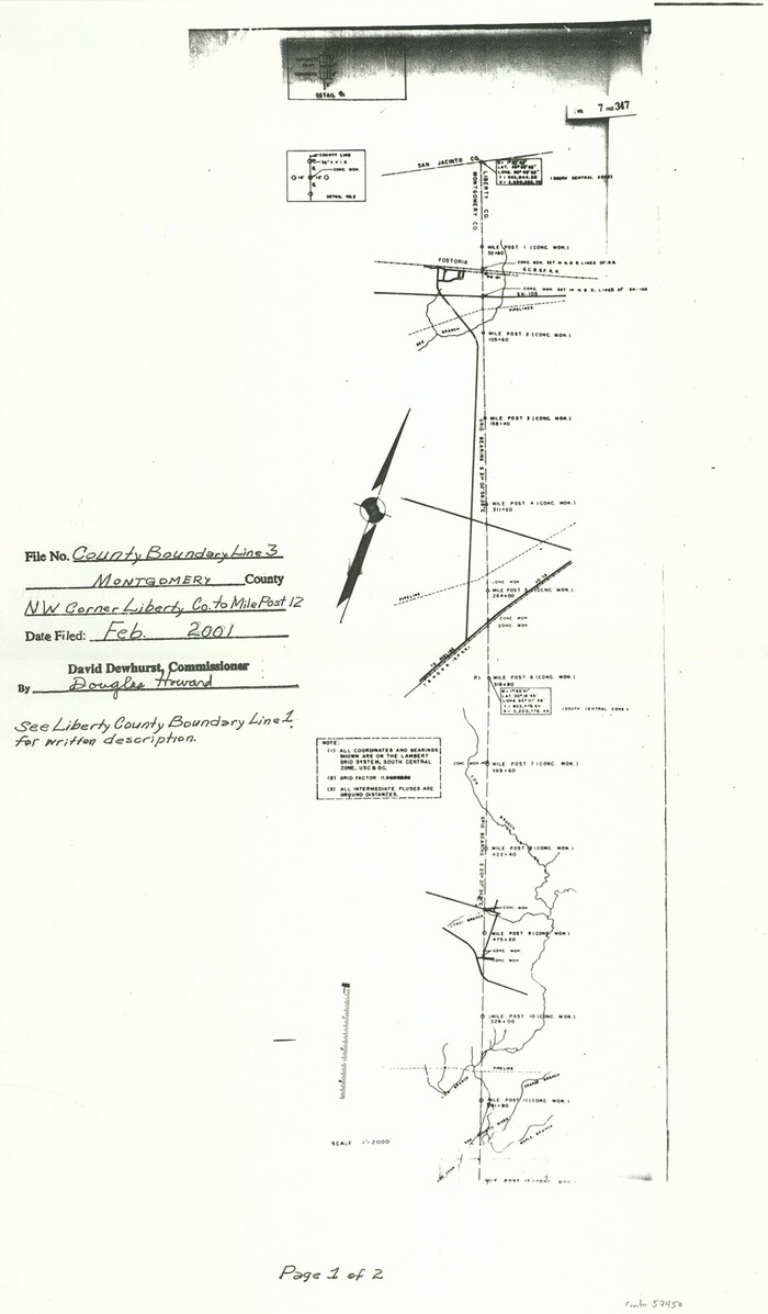
Montgomery County Boundary File 3

Print $6.00
- Digital $50.00
Montgomery County Boundary File 3
Size 17.0 x 9.9 inches
Map/Doc 57450
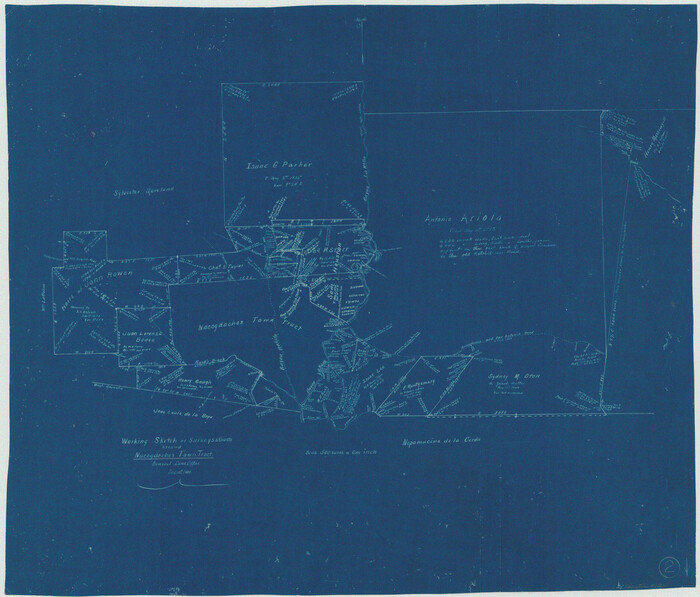
Nacogdoches County Working Sketch 2

Print $20.00
- Digital $50.00
Nacogdoches County Working Sketch 2
1904
Size 20.5 x 24.1 inches
Map/Doc 71218
Montgomery County Rolled Sketch 26A


Print $20.00
- Digital $50.00
Montgomery County Rolled Sketch 26A
1941
Size 29.1 x 38.8 inches
Map/Doc 6809
Frio County Sketch File 1


Print $8.00
- Digital $50.00
Frio County Sketch File 1
1848
Size 8.6 x 7.7 inches
Map/Doc 23101
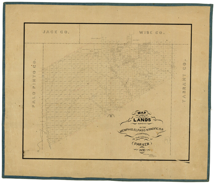
Map of the Lands Surveyed by the Memphis, El Paso & Pacific R.R. Company

Print $20.00
- Digital $50.00
Map of the Lands Surveyed by the Memphis, El Paso & Pacific R.R. Company
1859
Size 19.7 x 23.3 inches
Map/Doc 4847
Americae Sive Novi Orbis, Nova Descriptio


Print $20.00
- Digital $50.00
Americae Sive Novi Orbis, Nova Descriptio
1573
Size 15.6 x 22.3 inches
Map/Doc 95834
Grayson County Boundary File 1
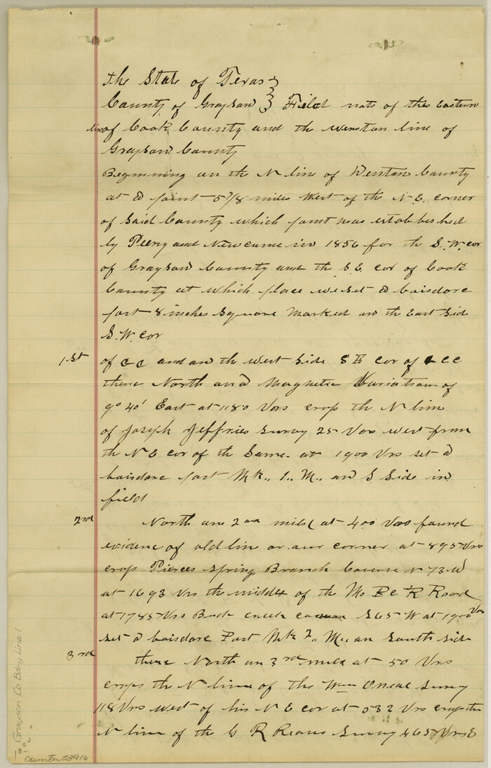

Print $24.00
- Digital $50.00
Grayson County Boundary File 1
Size 12.8 x 8.2 inches
Map/Doc 53916
![90974, [John P. Rohus and surrounding surveys], Twichell Survey Records](https://historictexasmaps.com/wmedia_w1800h1800/maps/90974-1.tif.jpg)