[Jones County School Land, Blocks P, D, D6, and CB]
110-37
-
Map/Doc
91091
-
Collection
Twichell Survey Records
-
Object Dates
6/11/1907 (Creation Date)
-
People and Organizations
E. von Rosenberg (Draftsman)
-
Counties
Hockley
-
Height x Width
8.0 x 14.5 inches
20.3 x 36.8 cm
Part of: Twichell Survey Records
[Sketch showing surveys on the north side of the Canadian River, Blocks B-11, L, O-18, and G and M 2 and 3]
![91737, [Sketch showing surveys on the north side of the Canadian River, Blocks B-11, L, O-18, and G and M 2 and 3], Twichell Survey Records](https://historictexasmaps.com/wmedia_w700/maps/91737-1.tif.jpg)
![91737, [Sketch showing surveys on the north side of the Canadian River, Blocks B-11, L, O-18, and G and M 2 and 3], Twichell Survey Records](https://historictexasmaps.com/wmedia_w700/maps/91737-1.tif.jpg)
Print $20.00
- Digital $50.00
[Sketch showing surveys on the north side of the Canadian River, Blocks B-11, L, O-18, and G and M 2 and 3]
1883
Size 35.4 x 25.3 inches
Map/Doc 91737
Vandelia Village an Addition to the City of Lubbock, a Subdivision of Southeast Quarter, Section 3, Block E
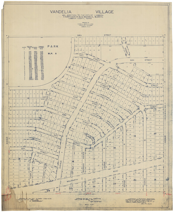

Print $20.00
- Digital $50.00
Vandelia Village an Addition to the City of Lubbock, a Subdivision of Southeast Quarter, Section 3, Block E
1950
Size 29.6 x 36.0 inches
Map/Doc 92725
Anton Quadrangle


Print $20.00
- Digital $50.00
Anton Quadrangle
1957
Size 18.1 x 22.1 inches
Map/Doc 92814
[T. C. & S. F. Block K11, Capitol Leagues 367, 373, 374, and Blocks D and B]
![90542, [T. C. & S. F. Block K11, Capitol Leagues 367, 373, 374, and Blocks D and B], Twichell Survey Records](https://historictexasmaps.com/wmedia_w700/maps/90542-1.tif.jpg)
![90542, [T. C. & S. F. Block K11, Capitol Leagues 367, 373, 374, and Blocks D and B], Twichell Survey Records](https://historictexasmaps.com/wmedia_w700/maps/90542-1.tif.jpg)
Print $3.00
- Digital $50.00
[T. C. & S. F. Block K11, Capitol Leagues 367, 373, 374, and Blocks D and B]
Size 9.8 x 13.5 inches
Map/Doc 90542
Working Sketch Archer County


Print $20.00
- Digital $50.00
Working Sketch Archer County
1924
Size 26.6 x 20.5 inches
Map/Doc 90257
Working Sketch in Bastrop County


Print $20.00
- Digital $50.00
Working Sketch in Bastrop County
1921
Size 14.0 x 15.8 inches
Map/Doc 90232
[Adams Beaty & Moulton Block 2] / Map of Heller's Addition to Canyon City
![92120, [Adams Beaty & Moulton Block 2] / Map of Heller's Addition to Canyon City, Twichell Survey Records](https://historictexasmaps.com/wmedia_w700/maps/92120-1.tif.jpg)
![92120, [Adams Beaty & Moulton Block 2] / Map of Heller's Addition to Canyon City, Twichell Survey Records](https://historictexasmaps.com/wmedia_w700/maps/92120-1.tif.jpg)
Print $20.00
- Digital $50.00
[Adams Beaty & Moulton Block 2] / Map of Heller's Addition to Canyon City
1898
Size 22.7 x 24.9 inches
Map/Doc 92120
[Connecting lines through Blocks A2, 29, I, GG, I. & G. N. Block 1 and Archer County School Land]
![91645, [Connecting lines through Blocks A2, 29, I, GG, I. & G. N. Block 1 and Archer County School Land], Twichell Survey Records](https://historictexasmaps.com/wmedia_w700/maps/91645-1.tif.jpg)
![91645, [Connecting lines through Blocks A2, 29, I, GG, I. & G. N. Block 1 and Archer County School Land], Twichell Survey Records](https://historictexasmaps.com/wmedia_w700/maps/91645-1.tif.jpg)
Print $20.00
- Digital $50.00
[Connecting lines through Blocks A2, 29, I, GG, I. & G. N. Block 1 and Archer County School Land]
Size 22.4 x 16.9 inches
Map/Doc 91645
University of Texas System University Lands


Print $20.00
- Digital $50.00
University of Texas System University Lands
1938
Size 23.4 x 17.9 inches
Map/Doc 93243
William T. Brewster and Surrounding Surveys]
![91024, William T. Brewster and Surrounding Surveys], Twichell Survey Records](https://historictexasmaps.com/wmedia_w700/maps/91024-1.tif.jpg)
![91024, William T. Brewster and Surrounding Surveys], Twichell Survey Records](https://historictexasmaps.com/wmedia_w700/maps/91024-1.tif.jpg)
Print $20.00
- Digital $50.00
William T. Brewster and Surrounding Surveys]
Size 20.3 x 36.8 inches
Map/Doc 91024
Plat Section 2, Block B-16
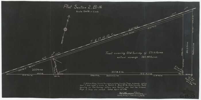

Print $20.00
- Digital $50.00
Plat Section 2, Block B-16
1930
Size 19.0 x 9.8 inches
Map/Doc 90802
Working Sketch in Lipscomb County [showing East line of County along border with Oklahoma]
![92083, Working Sketch in Lipscomb County [showing East line of County along border with Oklahoma], Twichell Survey Records](https://historictexasmaps.com/wmedia_w700/maps/92083-1.tif.jpg)
![92083, Working Sketch in Lipscomb County [showing East line of County along border with Oklahoma], Twichell Survey Records](https://historictexasmaps.com/wmedia_w700/maps/92083-1.tif.jpg)
Print $20.00
- Digital $50.00
Working Sketch in Lipscomb County [showing East line of County along border with Oklahoma]
1910
Size 4.9 x 25.9 inches
Map/Doc 92083
You may also like
Kimble County Sketch File 9
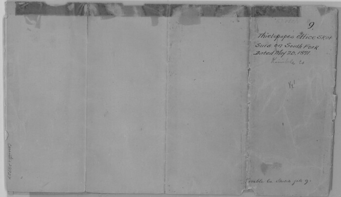

Print $22.00
- Digital $50.00
Kimble County Sketch File 9
1871
Size 8.2 x 14.1 inches
Map/Doc 28927
Edwards County Working Sketch 42


Print $20.00
- Digital $50.00
Edwards County Working Sketch 42
1949
Size 25.5 x 31.4 inches
Map/Doc 68918
Wise County Working Sketch 6


Print $20.00
- Digital $50.00
Wise County Working Sketch 6
1950
Size 12.0 x 15.2 inches
Map/Doc 72620
Sketch Showing Property Lines of Harlem State Farm


Print $20.00
- Digital $50.00
Sketch Showing Property Lines of Harlem State Farm
Size 16.0 x 30.2 inches
Map/Doc 62982
Americae nova Tabula
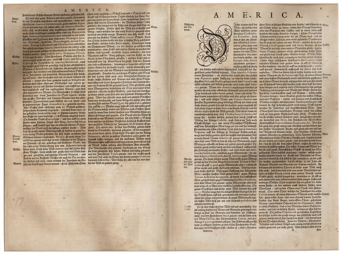

Print $20.00
- Digital $50.00
Americae nova Tabula
1617
Size 16.0 x 21.5 inches
Map/Doc 93813
Lamb County Rolled Sketch 8


Print $20.00
- Digital $50.00
Lamb County Rolled Sketch 8
1910
Size 40.1 x 32.8 inches
Map/Doc 10728
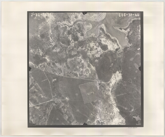
Flight Mission No. CUG-3P, Frame 40, Kleberg County

Print $20.00
- Digital $50.00
Flight Mission No. CUG-3P, Frame 40, Kleberg County
1956
Size 18.5 x 22.2 inches
Map/Doc 86245
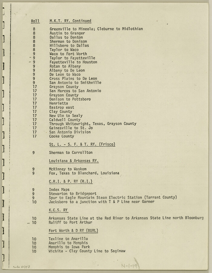
Index for Texas Railroad ROW & track maps available on microfilm at THD & Archives and Records

Print $2.00
- Digital $50.00
Index for Texas Railroad ROW & track maps available on microfilm at THD & Archives and Records
1977
Size 11.2 x 8.8 inches
Map/Doc 60757
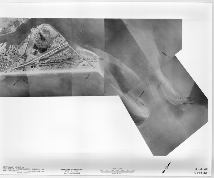
Controlled Mosaic by Jack Amman Photogrammetric Engineers, Inc - Sheet 46

Print $20.00
- Digital $50.00
Controlled Mosaic by Jack Amman Photogrammetric Engineers, Inc - Sheet 46
1954
Size 20.0 x 24.0 inches
Map/Doc 83505
Controlled Mosaic by Jack Amman Photogrammetric Engineers, Inc - Sheet 33


Print $20.00
- Digital $50.00
Controlled Mosaic by Jack Amman Photogrammetric Engineers, Inc - Sheet 33
1954
Size 20.0 x 24.0 inches
Map/Doc 83486
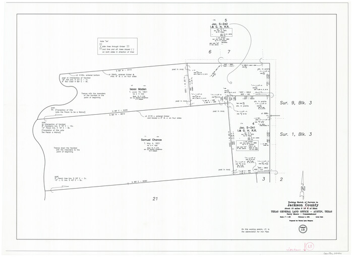
Jackson County Working Sketch 13

Print $20.00
- Digital $50.00
Jackson County Working Sketch 13
1994
Size 22.2 x 30.3 inches
Map/Doc 66461
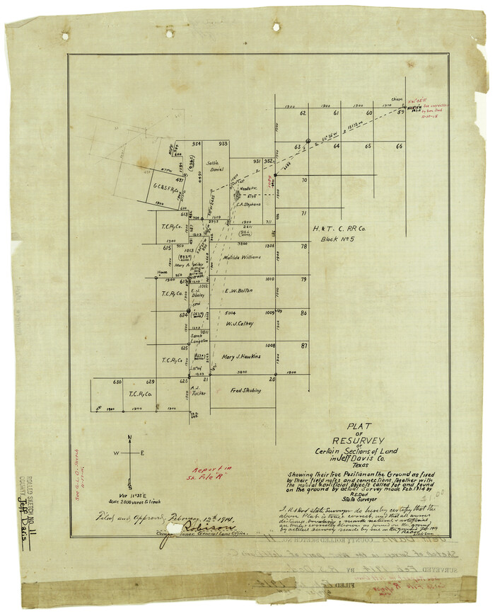
Jeff Davis County Rolled Sketch 11

Print $20.00
- Digital $50.00
Jeff Davis County Rolled Sketch 11
1914
Size 17.9 x 14.4 inches
Map/Doc 6364
![91091, [Jones County School Land, Blocks P, D, D6, and CB], Twichell Survey Records](https://historictexasmaps.com/wmedia_w1800h1800/maps/91091-1.tif.jpg)