Harris County Rolled Sketch W
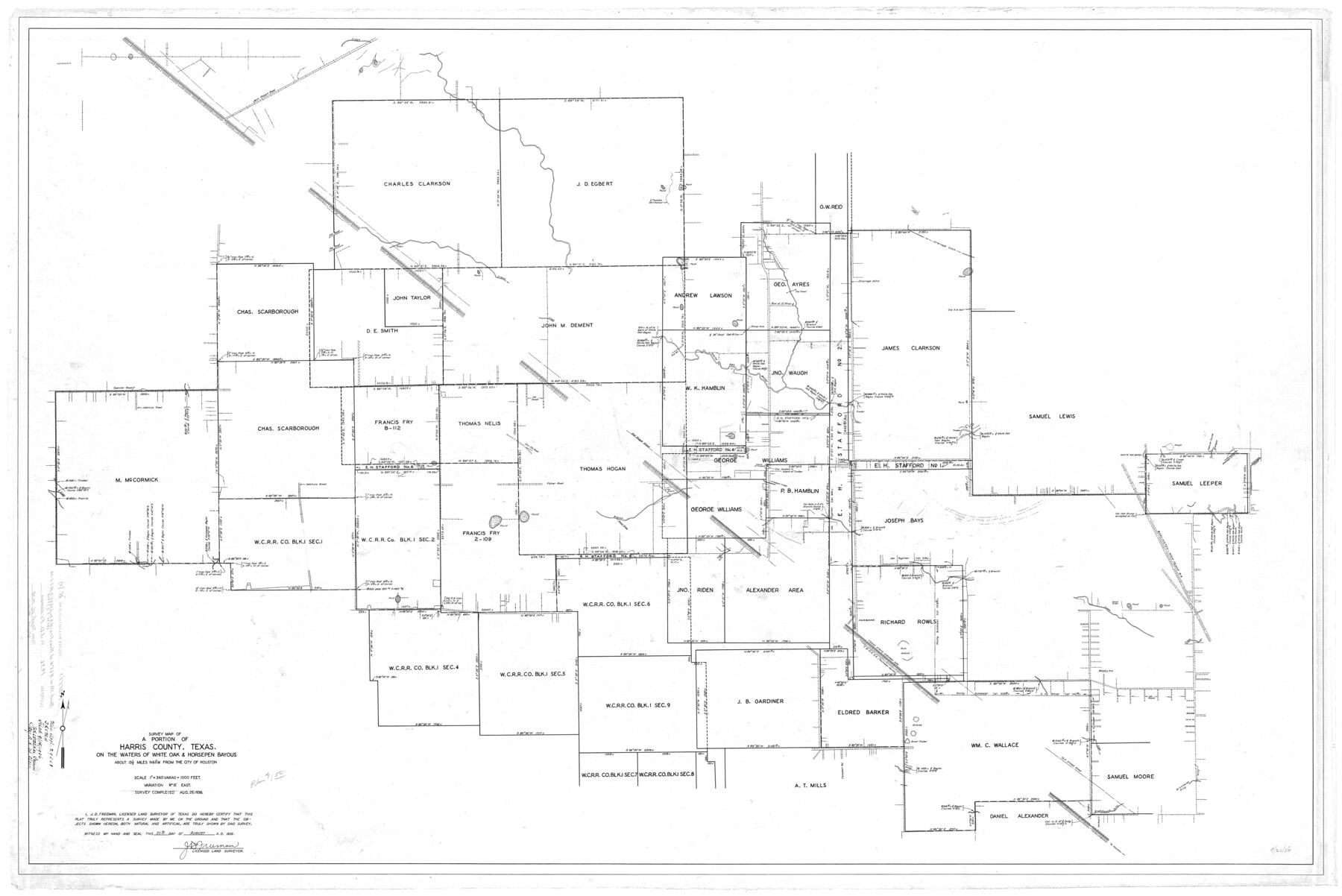
Survey map of a portion of Harris County, Texas on the waters of White Oak & Horsepen Bayous
-
Map/Doc
9124
-
Collection
General Map Collection
-
Object Dates
8/25/1936 (Creation Date)
9/15/1936 (File Date)
-
People and Organizations
J.D. Freeman (Surveyor/Engineer)
-
Counties
Harris
-
Subjects
Surveying Rolled Sketch
-
Height x Width
43.0 x 64.4 inches
109.2 x 163.6 cm
-
Scale
1" = 360 varas
Part of: General Map Collection
Rusk County Working Sketch 5

Print $20.00
- Digital $50.00
Rusk County Working Sketch 5
1983
Size 33.1 x 25.7 inches
Map/Doc 63640
[Sketch for Mineral Application 16341 - Clear Fork of Brazos River, Taylor & Holcomb]
![65572, [Sketch for Mineral Application 16341 - Clear Fork of Brazos River, Taylor & Holcomb], General Map Collection](https://historictexasmaps.com/wmedia_w700/maps/65572.tif.jpg)
Print $40.00
- Digital $50.00
[Sketch for Mineral Application 16341 - Clear Fork of Brazos River, Taylor & Holcomb]
1926
Size 122.8 x 39.6 inches
Map/Doc 65572
Cherokee County Sketch File 35

Print $42.00
- Digital $50.00
Cherokee County Sketch File 35
1955
Size 11.5 x 8.8 inches
Map/Doc 18204
Pecos County Sketch File 114

Print $18.00
- Digital $50.00
Pecos County Sketch File 114
1912
Size 13.3 x 8.9 inches
Map/Doc 34074
Uvalde County Working Sketch 33

Print $20.00
- Digital $50.00
Uvalde County Working Sketch 33
1963
Size 24.5 x 39.2 inches
Map/Doc 72103
Coast Chart No. 210 Aransas Pass and Corpus Christi Bay with the coast to latitude 27° 12' Texas

Print $20.00
- Digital $50.00
Coast Chart No. 210 Aransas Pass and Corpus Christi Bay with the coast to latitude 27° 12' Texas
1913
Size 27.6 x 18.2 inches
Map/Doc 72807
Main Line Routes of the Santa Fe Lines

Main Line Routes of the Santa Fe Lines
Size 12.1 x 18.1 inches
Map/Doc 94157
Montgomery County Rolled Sketch 19A

Print $40.00
- Digital $50.00
Montgomery County Rolled Sketch 19A
1933
Size 52.9 x 37.3 inches
Map/Doc 8349
El Paso County Boundary File 5

Print $80.00
- Digital $50.00
El Paso County Boundary File 5
Size 34.7 x 48.4 inches
Map/Doc 53078
Starr County Working Sketch Graphic Index

Print $40.00
- Digital $50.00
Starr County Working Sketch Graphic Index
1977
Size 43.0 x 55.5 inches
Map/Doc 76701
Houston County Sketch File 5

Print $4.00
- Digital $50.00
Houston County Sketch File 5
1860
Size 8.5 x 12.7 inches
Map/Doc 26757
Denton County Working Sketch 38

Print $20.00
- Digital $50.00
Denton County Working Sketch 38
2010
Size 23.4 x 29.5 inches
Map/Doc 89571
You may also like
Atascosa County Working Sketch 23

Print $40.00
- Digital $50.00
Atascosa County Working Sketch 23
1958
Size 38.8 x 57.1 inches
Map/Doc 68434

Map of western Texas and northern Mexico from authentical surveys

Print $20.00
Map of western Texas and northern Mexico from authentical surveys
1869
Size 27.2 x 31.9 inches
Map/Doc 93577
Pecos County Sketch File 37

Print $4.00
- Digital $50.00
Pecos County Sketch File 37
1911
Size 8.9 x 8.3 inches
Map/Doc 33718
[Right of Way Map, Belton Branch of the M.K.&T. RR.]
![64227, [Right of Way Map, Belton Branch of the M.K.&T. RR.], General Map Collection](https://historictexasmaps.com/wmedia_w700/maps/64227.tif.jpg)
Print $20.00
- Digital $50.00
[Right of Way Map, Belton Branch of the M.K.&T. RR.]
1896
Size 22.0 x 7.2 inches
Map/Doc 64227
Flight Mission No. DQN-5K, Frame 49, Calhoun County

Print $20.00
- Digital $50.00
Flight Mission No. DQN-5K, Frame 49, Calhoun County
1953
Size 17.4 x 22.3 inches
Map/Doc 84394
Randall County Rolled Sketch 10

Print $20.00
- Digital $50.00
Randall County Rolled Sketch 10
Size 26.9 x 22.6 inches
Map/Doc 7431
Howard County Sketch File 2

Print $18.00
- Digital $50.00
Howard County Sketch File 2
1909
Size 9.3 x 8.2 inches
Map/Doc 26846
Karnes County Rolled Sketch 3A

Print $20.00
- Digital $50.00
Karnes County Rolled Sketch 3A
1959
Size 23.9 x 28.6 inches
Map/Doc 6455
Jeff Davis County Working Sketch 39

Print $40.00
- Digital $50.00
Jeff Davis County Working Sketch 39
1981
Size 52.1 x 38.0 inches
Map/Doc 66534
Sutton County

Print $40.00
- Digital $50.00
Sutton County
1941
Size 42.3 x 56.8 inches
Map/Doc 63052
General Highway Map, Medina County, Texas

Print $20.00
General Highway Map, Medina County, Texas
1940
Size 18.3 x 24.6 inches
Map/Doc 79195