[Wilson Strickland Survey]
170-9
-
Map/Doc
91374
-
Collection
Twichell Survey Records
-
Counties
Montgomery
-
Height x Width
38.1 x 31.5 inches
96.8 x 80.0 cm
Part of: Twichell Survey Records
Working Sketch Reeves County [showing Blocks 70-72, C-8, 9, 17-18, and Texas & Pacific RR Block 58]
![91770, Working Sketch Reeves County [showing Blocks 70-72, C-8, 9, 17-18, and Texas & Pacific RR Block 58], Twichell Survey Records](https://historictexasmaps.com/wmedia_w700/maps/91770-1.tif.jpg)
![91770, Working Sketch Reeves County [showing Blocks 70-72, C-8, 9, 17-18, and Texas & Pacific RR Block 58], Twichell Survey Records](https://historictexasmaps.com/wmedia_w700/maps/91770-1.tif.jpg)
Print $20.00
- Digital $50.00
Working Sketch Reeves County [showing Blocks 70-72, C-8, 9, 17-18, and Texas & Pacific RR Block 58]
1908
Size 21.6 x 17.2 inches
Map/Doc 91770
[Central Part of County]
![89791, [Central Part of County], Twichell Survey Records](https://historictexasmaps.com/wmedia_w700/maps/89791-1.tif.jpg)
![89791, [Central Part of County], Twichell Survey Records](https://historictexasmaps.com/wmedia_w700/maps/89791-1.tif.jpg)
Print $40.00
- Digital $50.00
[Central Part of County]
Size 70.0 x 26.3 inches
Map/Doc 89791
[Southwest part of County]
![90922, [Southwest part of County], Twichell Survey Records](https://historictexasmaps.com/wmedia_w700/maps/90922-1.tif.jpg)
![90922, [Southwest part of County], Twichell Survey Records](https://historictexasmaps.com/wmedia_w700/maps/90922-1.tif.jpg)
Print $20.00
- Digital $50.00
[Southwest part of County]
Size 28.8 x 18.4 inches
Map/Doc 90922
W. T. Noelke Ranch in Crockett County
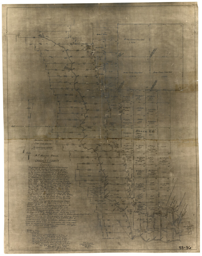

Print $20.00
- Digital $50.00
W. T. Noelke Ranch in Crockett County
1928
Size 17.4 x 22.2 inches
Map/Doc 90321
East Half Section 3, Block 2, D. & S. E. RR. Company; West Half Section 3, E. L. & R. R. RR. Company
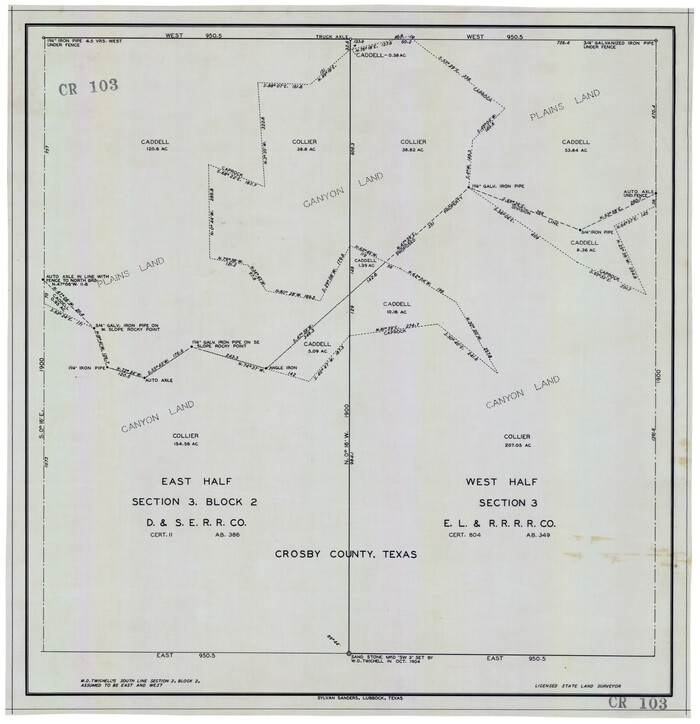

Print $20.00
- Digital $50.00
East Half Section 3, Block 2, D. & S. E. RR. Company; West Half Section 3, E. L. & R. R. RR. Company
Size 22.0 x 22.7 inches
Map/Doc 92595
[Block RG, Sections 1, 2, and 16, North Line of San Augustine County School Land]
![91392, [Block RG, Sections 1, 2, and 16, North Line of San Augustine County School Land], Twichell Survey Records](https://historictexasmaps.com/wmedia_w700/maps/91392-1.tif.jpg)
![91392, [Block RG, Sections 1, 2, and 16, North Line of San Augustine County School Land], Twichell Survey Records](https://historictexasmaps.com/wmedia_w700/maps/91392-1.tif.jpg)
Print $20.00
- Digital $50.00
[Block RG, Sections 1, 2, and 16, North Line of San Augustine County School Land]
Size 25.7 x 12.4 inches
Map/Doc 91392
Garza County Sketch
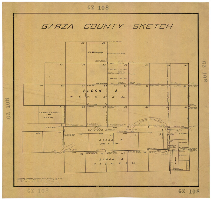

Print $20.00
- Digital $50.00
Garza County Sketch
1924
Size 19.6 x 18.4 inches
Map/Doc 92701
Cochran County Sketch [showing lines run by C. A. Tubbs]
![90435, Cochran County Sketch [showing lines run by C. A. Tubbs], Twichell Survey Records](https://historictexasmaps.com/wmedia_w700/maps/90435-1.tif.jpg)
![90435, Cochran County Sketch [showing lines run by C. A. Tubbs], Twichell Survey Records](https://historictexasmaps.com/wmedia_w700/maps/90435-1.tif.jpg)
Print $20.00
- Digital $50.00
Cochran County Sketch [showing lines run by C. A. Tubbs]
Size 10.0 x 23.8 inches
Map/Doc 90435
Township 2 North, Block 32]
![91211, Township 2 North, Block 32], Twichell Survey Records](https://historictexasmaps.com/wmedia_w700/maps/91211-1.tif.jpg)
![91211, Township 2 North, Block 32], Twichell Survey Records](https://historictexasmaps.com/wmedia_w700/maps/91211-1.tif.jpg)
Print $2.00
- Digital $50.00
Township 2 North, Block 32]
Size 9.0 x 13.7 inches
Map/Doc 91211
[Sections 302-313 and sections south of Blocks D and AX]
![92017, [Sections 302-313 and sections south of Blocks D and AX], Twichell Survey Records](https://historictexasmaps.com/wmedia_w700/maps/92017-1.tif.jpg)
![92017, [Sections 302-313 and sections south of Blocks D and AX], Twichell Survey Records](https://historictexasmaps.com/wmedia_w700/maps/92017-1.tif.jpg)
Print $20.00
- Digital $50.00
[Sections 302-313 and sections south of Blocks D and AX]
Size 17.5 x 35.6 inches
Map/Doc 92017
Hutson Addition to Umbarger, sec. 76, Blk. B-5, Randall Co., Texas


Print $20.00
- Digital $50.00
Hutson Addition to Umbarger, sec. 76, Blk. B-5, Randall Co., Texas
Size 30.5 x 29.5 inches
Map/Doc 92155
You may also like
Falls County Sketch File 33
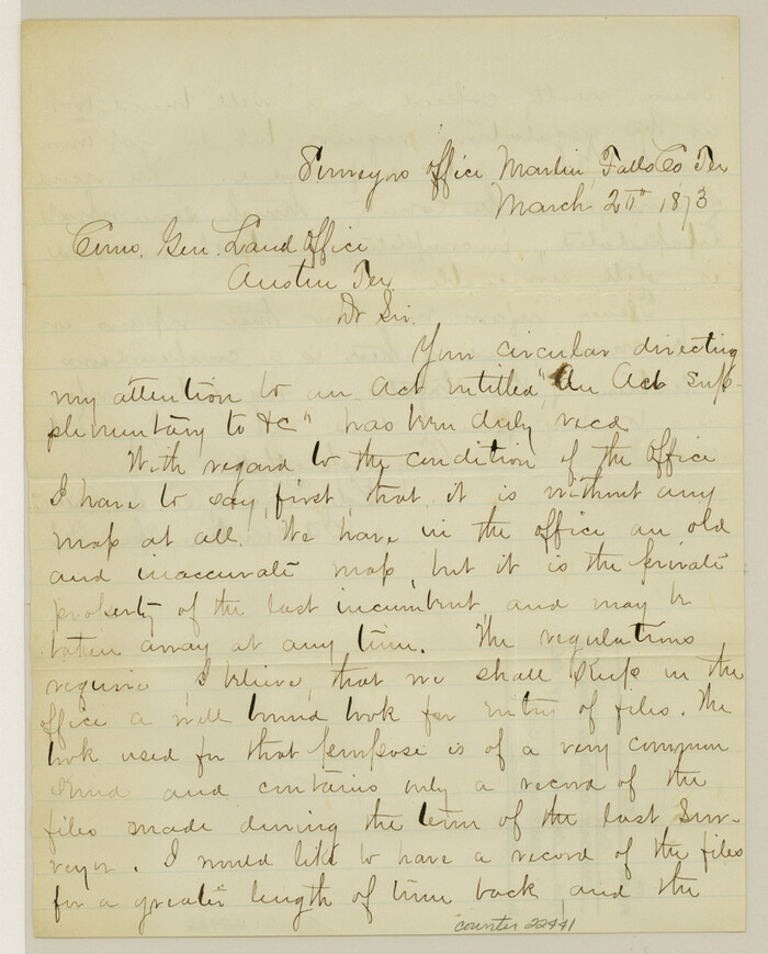

Print $4.00
- Digital $50.00
Falls County Sketch File 33
1873
Size 10.3 x 8.3 inches
Map/Doc 22441
Map of New York and Adjacent Cities


Print $20.00
- Digital $50.00
Map of New York and Adjacent Cities
1860
Size 17.8 x 28.7 inches
Map/Doc 94439
Topographical Map of the Rio Grande, Sheet No. 2
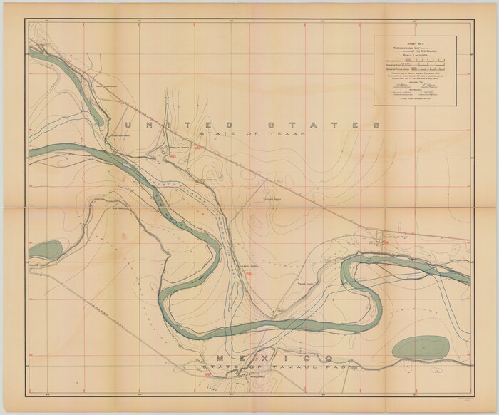

Print $20.00
- Digital $50.00
Topographical Map of the Rio Grande, Sheet No. 2
1912
Map/Doc 89526
Texas map showing principal forts


Print $20.00
- Digital $50.00
Texas map showing principal forts
1852
Size 34.7 x 25.1 inches
Map/Doc 2125
Flight Mission No. CRK-3P, Frame 177, Refugio County
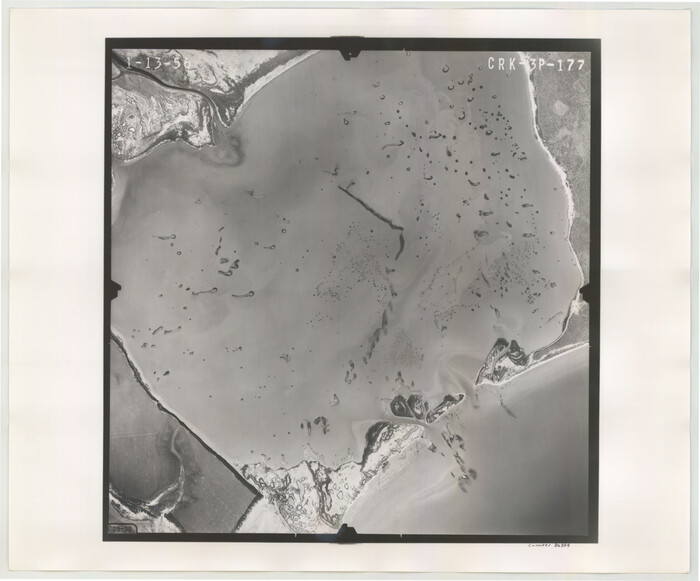

Print $20.00
- Digital $50.00
Flight Mission No. CRK-3P, Frame 177, Refugio County
1956
Size 18.6 x 22.4 inches
Map/Doc 86924
Crockett County Sketch File 79a
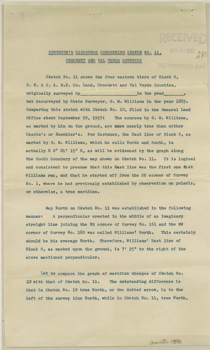

Print $6.00
- Digital $50.00
Crockett County Sketch File 79a
1937
Size 14.2 x 8.5 inches
Map/Doc 19890
Lubbock County


Print $20.00
- Digital $50.00
Lubbock County
1879
Size 21.3 x 19.1 inches
Map/Doc 4583
Coryell County Sketch File 15
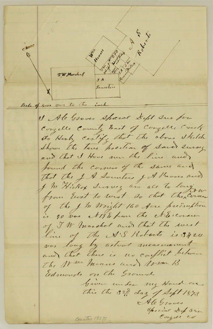

Print $4.00
- Digital $50.00
Coryell County Sketch File 15
1873
Size 13.0 x 8.5 inches
Map/Doc 19371
Intracoastal Waterway in Texas - Corpus Christi to Point Isabel including Arroyo Colorado to Mo. Pac. R.R. Bridge Near Harlingen


Print $20.00
- Digital $50.00
Intracoastal Waterway in Texas - Corpus Christi to Point Isabel including Arroyo Colorado to Mo. Pac. R.R. Bridge Near Harlingen
1933
Size 28.2 x 41.3 inches
Map/Doc 61873
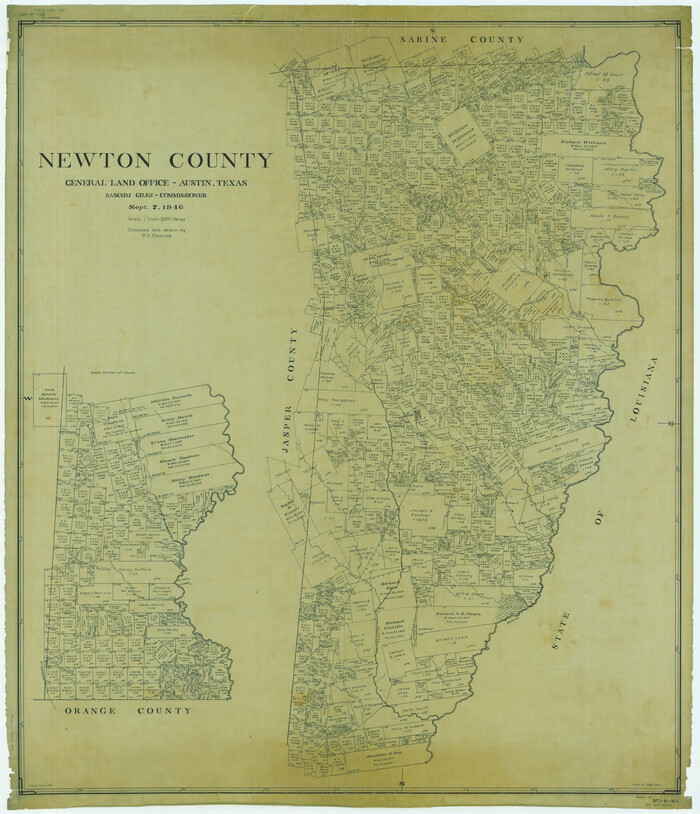
Newton County

Print $40.00
- Digital $50.00
Newton County
1946
Size 48.7 x 41.9 inches
Map/Doc 66953
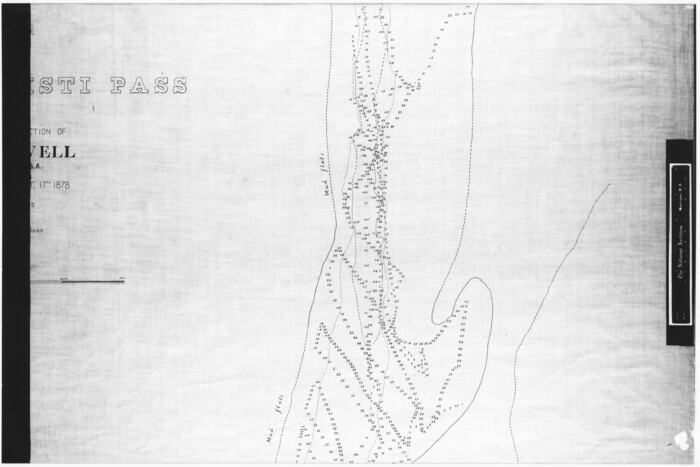
No. 2 Chart of Corpus Christi Pass, Texas

Print $20.00
- Digital $50.00
No. 2 Chart of Corpus Christi Pass, Texas
1878
Size 18.2 x 27.3 inches
Map/Doc 73027
Flight Mission No. BRA-16M, Frame 69, Jefferson County


Print $20.00
- Digital $50.00
Flight Mission No. BRA-16M, Frame 69, Jefferson County
1953
Size 18.6 x 22.2 inches
Map/Doc 85686
![91374, [Wilson Strickland Survey], Twichell Survey Records](https://historictexasmaps.com/wmedia_w1800h1800/maps/91374-1.tif.jpg)
