[Blocks 44 and 6T and vicinity]
171-16
-
Map/Doc
91490
-
Collection
Twichell Survey Records
-
People and Organizations
Trigg Twichell (Draftsman)
-
Counties
Moore
-
Height x Width
29.4 x 17.4 inches
74.7 x 44.2 cm
Part of: Twichell Survey Records
[T. & N. O. Railroad Company, Block 2T]
![91516, [T. & N. O. Railroad Company, Block 2T], Twichell Survey Records](https://historictexasmaps.com/wmedia_w700/maps/91516-1.tif.jpg)
![91516, [T. & N. O. Railroad Company, Block 2T], Twichell Survey Records](https://historictexasmaps.com/wmedia_w700/maps/91516-1.tif.jpg)
Print $20.00
- Digital $50.00
[T. & N. O. Railroad Company, Block 2T]
Size 30.6 x 9.5 inches
Map/Doc 91516
Parkland Place, An Addition to Muleshoe


Print $20.00
- Digital $50.00
Parkland Place, An Addition to Muleshoe
1955
Size 39.2 x 30.3 inches
Map/Doc 92531
[H. E. & W. T. Block 9, L. S. & V. Block 1, Public School Land Block C-40, Portion of Block H]
![91354, [H. E. & W. T. Block 9, L. S. & V. Block 1, Public School Land Block C-40, Portion of Block H], Twichell Survey Records](https://historictexasmaps.com/wmedia_w700/maps/91354-1.tif.jpg)
![91354, [H. E. & W. T. Block 9, L. S. & V. Block 1, Public School Land Block C-40, Portion of Block H], Twichell Survey Records](https://historictexasmaps.com/wmedia_w700/maps/91354-1.tif.jpg)
Print $20.00
- Digital $50.00
[H. E. & W. T. Block 9, L. S. & V. Block 1, Public School Land Block C-40, Portion of Block H]
Size 27.0 x 33.3 inches
Map/Doc 91354
Sketch Showing Section 3, Block JW, Subdivided to Show Quantity East of Texas Sections


Print $40.00
- Digital $50.00
Sketch Showing Section 3, Block JW, Subdivided to Show Quantity East of Texas Sections
Size 5.8 x 49.9 inches
Map/Doc 91303
[Panhandle Counties]
![89923, [Panhandle Counties], Twichell Survey Records](https://historictexasmaps.com/wmedia_w700/maps/89923-1.tif.jpg)
![89923, [Panhandle Counties], Twichell Survey Records](https://historictexasmaps.com/wmedia_w700/maps/89923-1.tif.jpg)
Print $20.00
- Digital $50.00
[Panhandle Counties]
1930
Size 42.3 x 42.8 inches
Map/Doc 89923
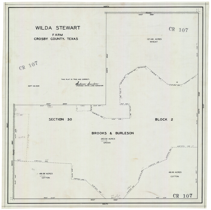
Wilda Stewart Farm, Crosby County, Texas

Print $20.00
- Digital $50.00
Wilda Stewart Farm, Crosby County, Texas
1949
Size 20.5 x 20.4 inches
Map/Doc 92599
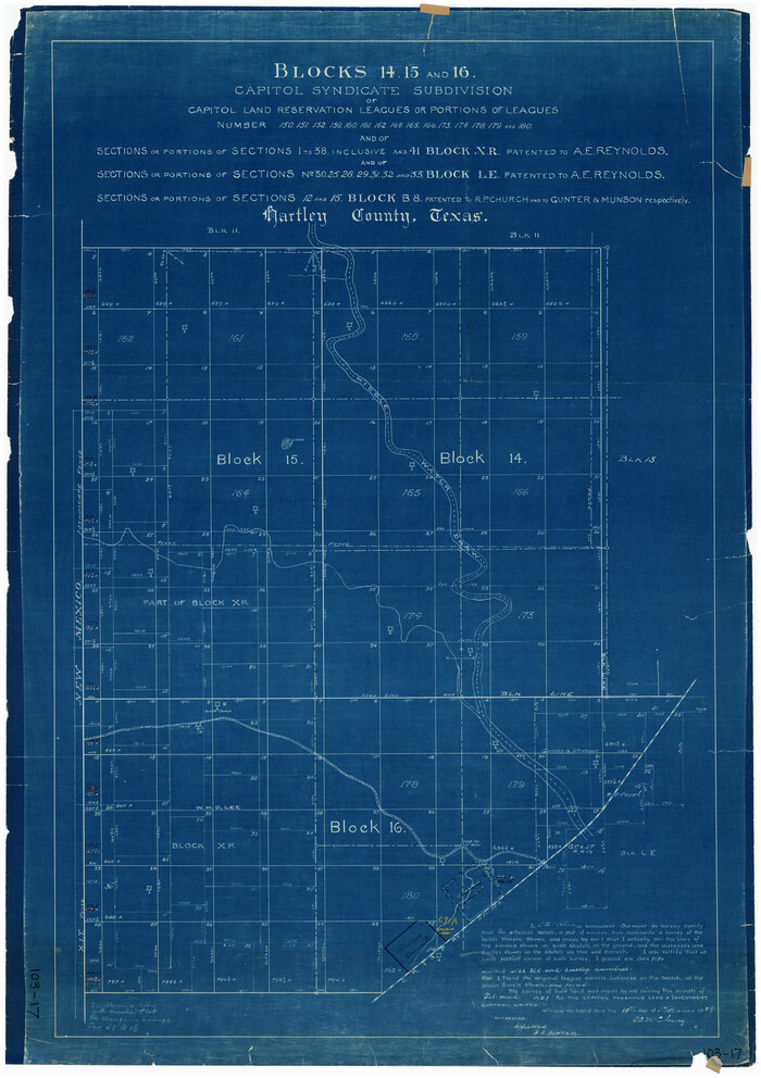
Blocks 14, 15, and 16 Capitol Syndicate Subdivision of Capitol Land Reservation Leagues

Print $20.00
- Digital $50.00
Blocks 14, 15, and 16 Capitol Syndicate Subdivision of Capitol Land Reservation Leagues
1907
Size 26.2 x 37.1 inches
Map/Doc 90712
[Plainview with Highland Addition]
![92662, [Plainview with Highland Addition], Twichell Survey Records](https://historictexasmaps.com/wmedia_w700/maps/92662-1.tif.jpg)
![92662, [Plainview with Highland Addition], Twichell Survey Records](https://historictexasmaps.com/wmedia_w700/maps/92662-1.tif.jpg)
Print $40.00
- Digital $50.00
[Plainview with Highland Addition]
Size 54.0 x 27.4 inches
Map/Doc 92662
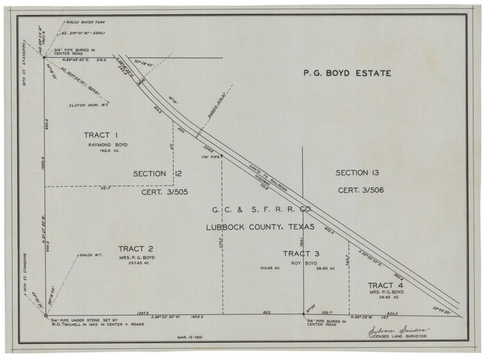
G.C. & S.F. R.R.Co.

Print $20.00
- Digital $50.00
G.C. & S.F. R.R.Co.
1951
Size 18.4 x 13.6 inches
Map/Doc 92837
Renderbrook Ranch


Print $20.00
- Digital $50.00
Renderbrook Ranch
1932
Size 16.9 x 13.5 inches
Map/Doc 92279
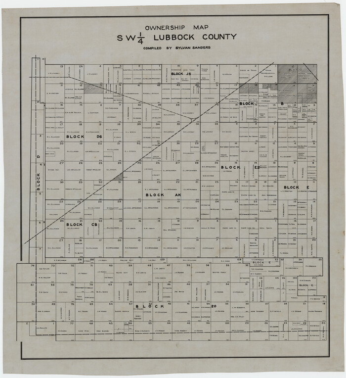
Ownership Map SW 1/4 Lubbock County

Print $20.00
- Digital $50.00
Ownership Map SW 1/4 Lubbock County
Size 33.7 x 36.8 inches
Map/Doc 89697
You may also like
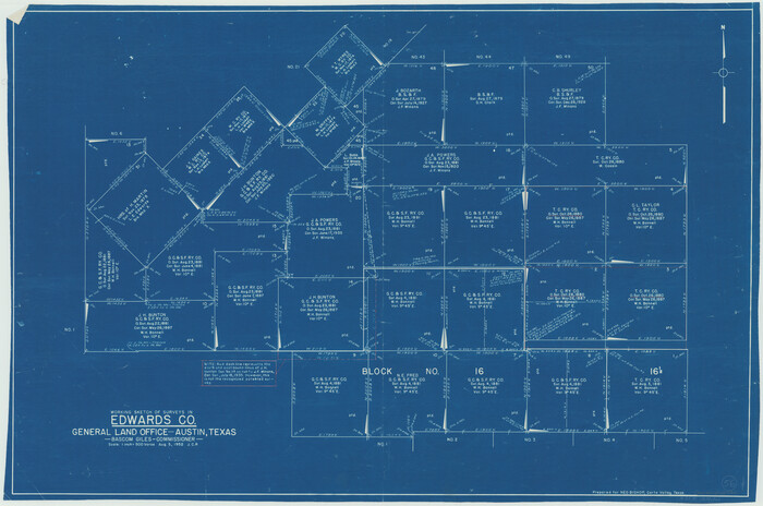
Edwards County Working Sketch 56

Print $20.00
- Digital $50.00
Edwards County Working Sketch 56
1952
Size 23.6 x 35.7 inches
Map/Doc 68932
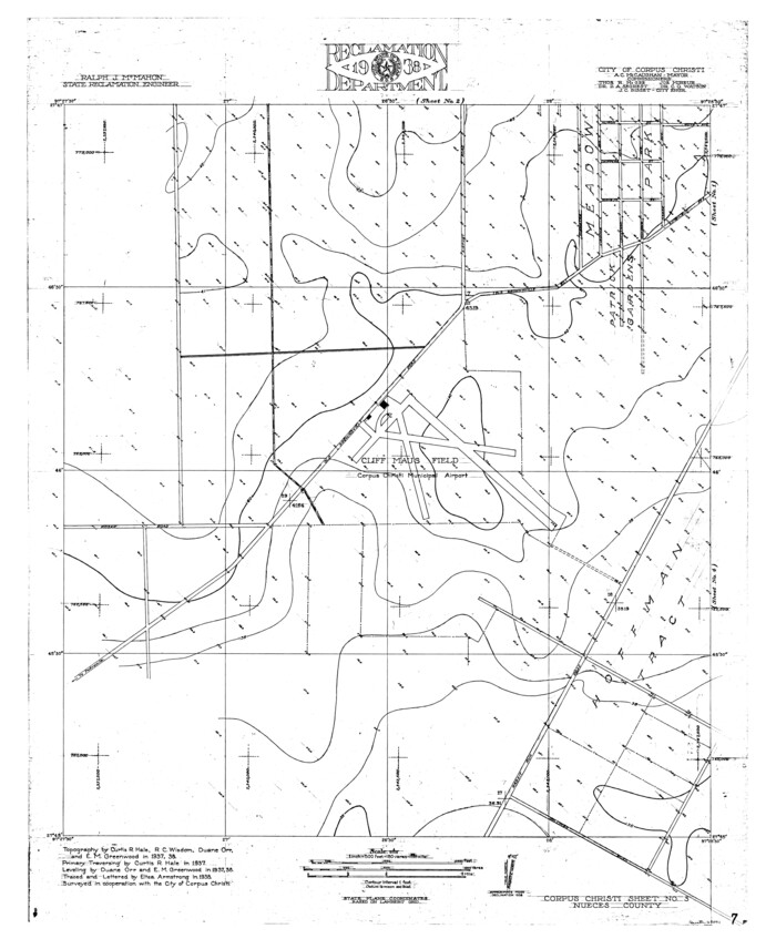
Nueces River, Corpus Christi Sheet No. 3

Print $6.00
- Digital $50.00
Nueces River, Corpus Christi Sheet No. 3
1938
Size 31.7 x 25.9 inches
Map/Doc 65091
Working Sketch in Roberts County, H. & G. N. RR Surveys, Block A


Print $20.00
- Digital $50.00
Working Sketch in Roberts County, H. & G. N. RR Surveys, Block A
1922
Size 17.8 x 18.2 inches
Map/Doc 91767
Harrison County Sketch File 20


Print $20.00
- Digital $50.00
Harrison County Sketch File 20
1946
Size 26.4 x 21.8 inches
Map/Doc 11693
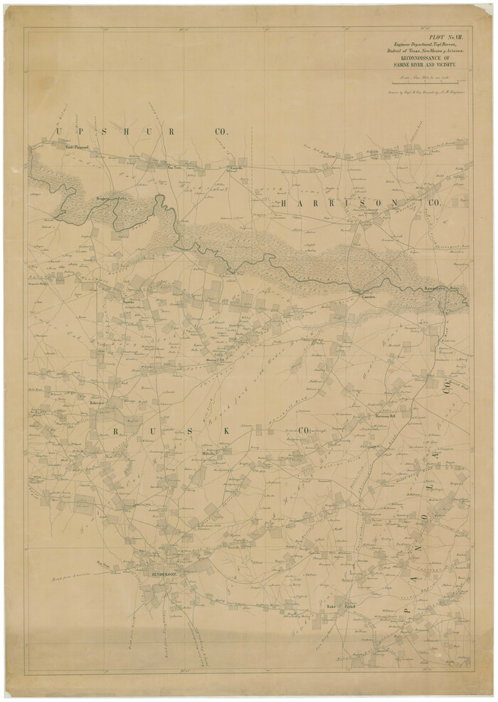
Reconnoissance of Sabine River and Valley

Print $20.00
Reconnoissance of Sabine River and Valley
1863
Size 42.3 x 30.0 inches
Map/Doc 97501
Taylor County Working Sketch 22


Print $40.00
- Digital $50.00
Taylor County Working Sketch 22
1985
Size 50.3 x 37.3 inches
Map/Doc 69632
Ellis County Sketch File 5
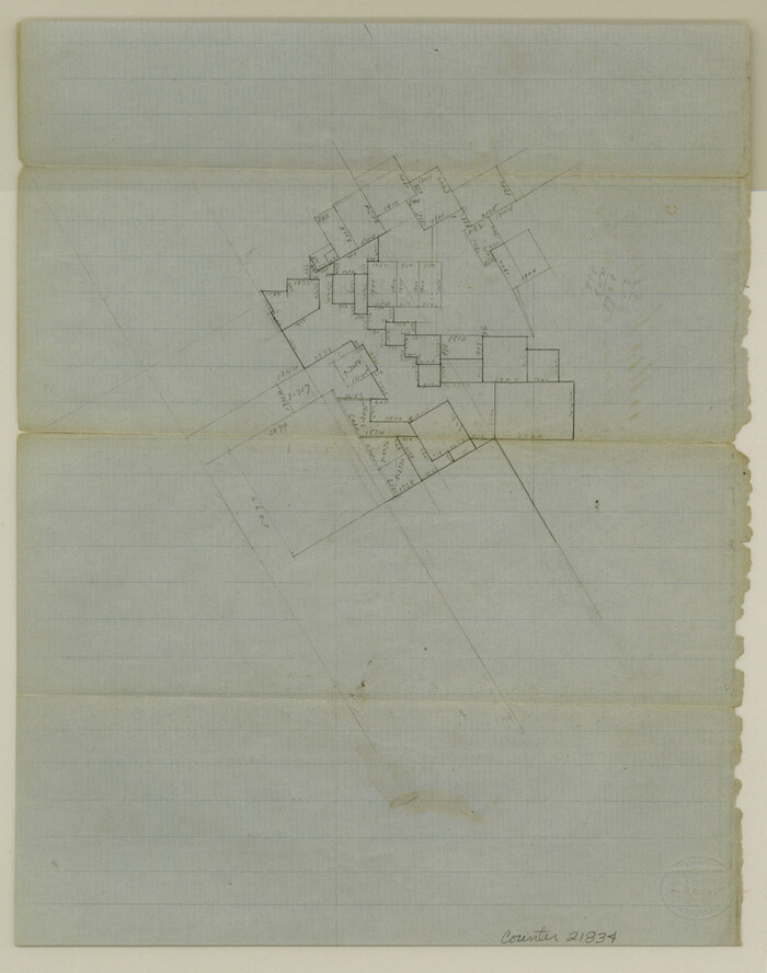

Print $4.00
- Digital $50.00
Ellis County Sketch File 5
Size 10.3 x 8.2 inches
Map/Doc 21834
Cooke County Working Sketch 6
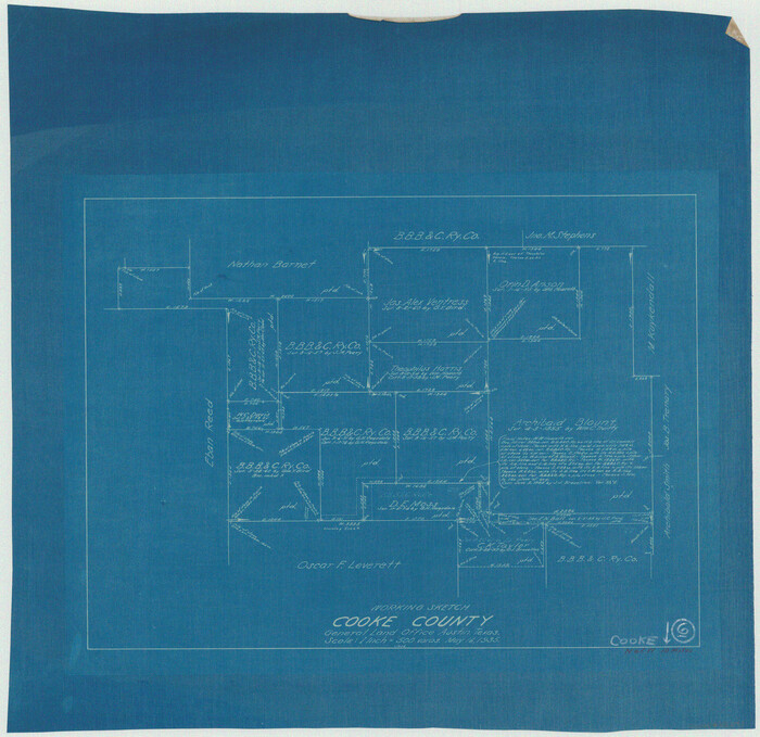

Print $20.00
- Digital $50.00
Cooke County Working Sketch 6
1935
Size 21.4 x 22.1 inches
Map/Doc 68243
Dallas County Working Sketch 10
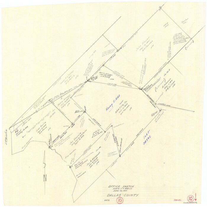

Print $20.00
- Digital $50.00
Dallas County Working Sketch 10
1971
Size 22.6 x 22.7 inches
Map/Doc 68576
Flight Mission No. DIX-3P, Frame 136, Aransas County
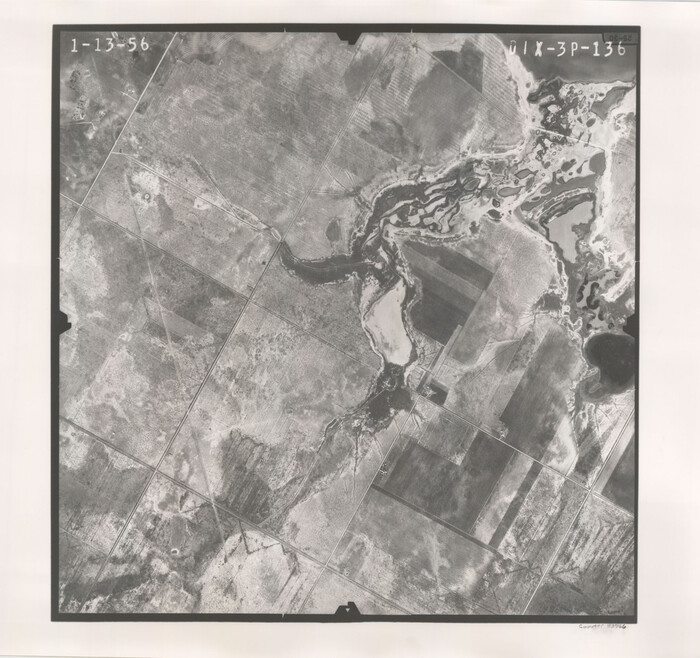

Print $20.00
- Digital $50.00
Flight Mission No. DIX-3P, Frame 136, Aransas County
1956
Size 17.9 x 19.0 inches
Map/Doc 83766
Coke County Working Sketch 12
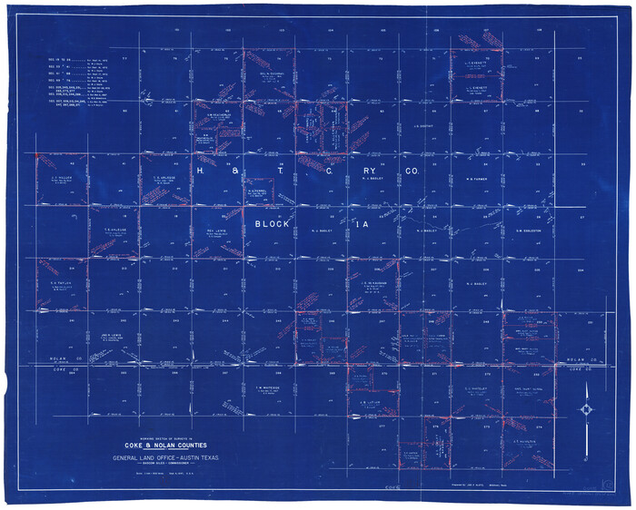

Print $20.00
- Digital $50.00
Coke County Working Sketch 12
1947
Size 36.7 x 45.6 inches
Map/Doc 68049
Crosby County Sketch File 23


Print $20.00
- Digital $50.00
Crosby County Sketch File 23
1913
Size 15.0 x 27.2 inches
Map/Doc 11254
![91490, [Blocks 44 and 6T and vicinity], Twichell Survey Records](https://historictexasmaps.com/wmedia_w1800h1800/maps/91490-1.tif.jpg)
