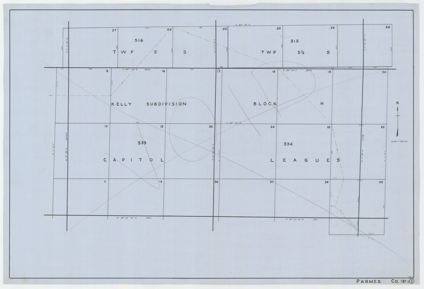
Brazos River Conservation and Reclamation District Official Boundary Line Survey, Parmer County
185-10
-
Map/Doc
91658
-
Collection
Twichell Survey Records
-
Counties
Parmer
-
Height x Width
24.5 x 16.9 inches
62.2 x 42.9 cm
Part of: Twichell Survey Records
[T. & P. Block 35, Townships 1N - 5N]
![93138, [T. & P. Block 35, Townships 1N - 5N], Twichell Survey Records](https://historictexasmaps.com/wmedia_w700/maps/93138-1.tif.jpg)
Print $40.00
- Digital $50.00
[T. & P. Block 35, Townships 1N - 5N]
Size 23.8 x 87.2 inches
Map/Doc 93138
Section B Tech Memorial Park, Inc.

Print $3.00
- Digital $50.00
Section B Tech Memorial Park, Inc.
Size 14.1 x 10.0 inches
Map/Doc 92268
[I. & G. N. Block 1, sections 64, 65, 67-71 and 545 along river]
![91605, [I. & G. N. Block 1, sections 64, 65, 67-71 and 545 along river], Twichell Survey Records](https://historictexasmaps.com/wmedia_w700/maps/91605-1.tif.jpg)
Print $2.00
- Digital $50.00
[I. & G. N. Block 1, sections 64, 65, 67-71 and 545 along river]
Size 9.1 x 14.7 inches
Map/Doc 91605
[North 3/4 of County]
![90840, [North 3/4 of County], Twichell Survey Records](https://historictexasmaps.com/wmedia_w700/maps/90840-2.tif.jpg)
Print $20.00
- Digital $50.00
[North 3/4 of County]
1887
Size 26.0 x 15.4 inches
Map/Doc 90840

[H. & T. C. Blocks 47 1/2 and 48, Capitol Lands]
![90639, [H. & T. C. Blocks 47 1/2 and 48, Capitol Lands], Twichell Survey Records](https://historictexasmaps.com/wmedia_w700/maps/90639-1.tif.jpg)
Print $20.00
- Digital $50.00
[H. & T. C. Blocks 47 1/2 and 48, Capitol Lands]
Size 19.9 x 24.8 inches
Map/Doc 90639
[Hutchinson County Resurveys South of the Canadian River]
![91166, [Hutchinson County Resurveys South of the Canadian River], Twichell Survey Records](https://historictexasmaps.com/wmedia_w700/maps/91166-1.tif.jpg)
Print $20.00
- Digital $50.00
[Hutchinson County Resurveys South of the Canadian River]
1920
Size 33.3 x 21.1 inches
Map/Doc 91166
[H. & G. N. Block 1]
![90943, [H. & G. N. Block 1], Twichell Survey Records](https://historictexasmaps.com/wmedia_w700/maps/90943-1.tif.jpg)
Print $20.00
- Digital $50.00
[H. & G. N. Block 1]
1873
Size 14.3 x 17.6 inches
Map/Doc 90943
[Sketch showing I. & G. N. Block 8]
![91703, [Sketch showing I. & G. N. Block 8], Twichell Survey Records](https://historictexasmaps.com/wmedia_w700/maps/91703-1.tif.jpg)
Print $2.00
- Digital $50.00
[Sketch showing I. & G. N. Block 8]
1919
Size 5.0 x 8.7 inches
Map/Doc 91703
[Crockett County School Land and Adjacent Leagues in Bailey and Lamb Counties]
![92983, [Crockett County School Land and Adjacent Leagues in Bailey and Lamb Counties], Twichell Survey Records](https://historictexasmaps.com/wmedia_w700/maps/92983-1.tif.jpg)
Print $20.00
- Digital $50.00
[Crockett County School Land and Adjacent Leagues in Bailey and Lamb Counties]
Size 18.0 x 12.8 inches
Map/Doc 92983
![91799, [Block 2], Twichell Survey Records](https://historictexasmaps.com/wmedia_w700/maps/91799-1.tif.jpg)
Water Distribution Seagraves Located in Surveys 10 & 15, Block C-34

Print $20.00
- Digital $50.00
Water Distribution Seagraves Located in Surveys 10 & 15, Block C-34
Size 22.1 x 15.8 inches
Map/Doc 92899
You may also like
Van Zandt County Sketch File 40a

Print $4.00
- Digital $50.00
Van Zandt County Sketch File 40a
1872
Size 8.2 x 13.0 inches
Map/Doc 39488
Parker County Boundary File 3a

Print $34.00
- Digital $50.00
Parker County Boundary File 3a
Size 11.2 x 8.8 inches
Map/Doc 57840
Sectional Map No. 2 of the lands and the line of the Texas & Pacific Ry. Co. in Howard, Martin, Andrews, Midland and Tom Green Counties

Print $20.00
- Digital $50.00
Sectional Map No. 2 of the lands and the line of the Texas & Pacific Ry. Co. in Howard, Martin, Andrews, Midland and Tom Green Counties
1885
Size 19.1 x 23.3 inches
Map/Doc 4862
Anderson County Working Sketch 5

Print $20.00
- Digital $50.00
Anderson County Working Sketch 5
1913
Size 15.0 x 15.3 inches
Map/Doc 67004
Geographically Correct Map of United States showing the Union Pacific System - Union Pacific R.R. Co., Oregon Short Line R.R. Co., Oregon-Washington R.R. & Nav. Co., Los Angeles & Salt Lake R.R. Co., St. Joseph & Grand Island Ry. Co. and connections

Print $20.00
- Digital $50.00
Geographically Correct Map of United States showing the Union Pacific System - Union Pacific R.R. Co., Oregon Short Line R.R. Co., Oregon-Washington R.R. & Nav. Co., Los Angeles & Salt Lake R.R. Co., St. Joseph & Grand Island Ry. Co. and connections
1922
Size 18.2 x 32.2 inches
Map/Doc 95771
Montgomery County Working Sketch 65

Print $20.00
- Digital $50.00
Montgomery County Working Sketch 65
1965
Size 21.5 x 16.7 inches
Map/Doc 71172
General Highway Map, Coleman County, Texas

Print $20.00
General Highway Map, Coleman County, Texas
1940
Size 18.4 x 25.2 inches
Map/Doc 79051
[Map of Texas and Pacific Blocks from Brazos River westward through Palo Pinto, Stephens, Shackelford, Jones, Callahan, Taylor, Fisher, Nolan and Mitchell Counties]
![64510, [Map of Texas and Pacific Blocks from Brazos River westward through Palo Pinto, Stephens, Shackelford, Jones, Callahan, Taylor, Fisher, Nolan and Mitchell Counties], General Map Collection](https://historictexasmaps.com/wmedia_w700/maps/64510-1.tif.jpg)
Print $20.00
- Digital $50.00
[Map of Texas and Pacific Blocks from Brazos River westward through Palo Pinto, Stephens, Shackelford, Jones, Callahan, Taylor, Fisher, Nolan and Mitchell Counties]
Size 35.5 x 19.0 inches
Map/Doc 64510

Goliad County Working Sketch 11

Print $20.00
- Digital $50.00
Goliad County Working Sketch 11
1941
Size 38.8 x 40.8 inches
Map/Doc 63201
Williamson County

Print $40.00
- Digital $50.00
Williamson County
1888
Size 37.1 x 54.0 inches
Map/Doc 16930
Reagan County Sketch File 30

Print $20.00
- Digital $50.00
Reagan County Sketch File 30
1951
Size 27.4 x 20.3 inches
Map/Doc 12226