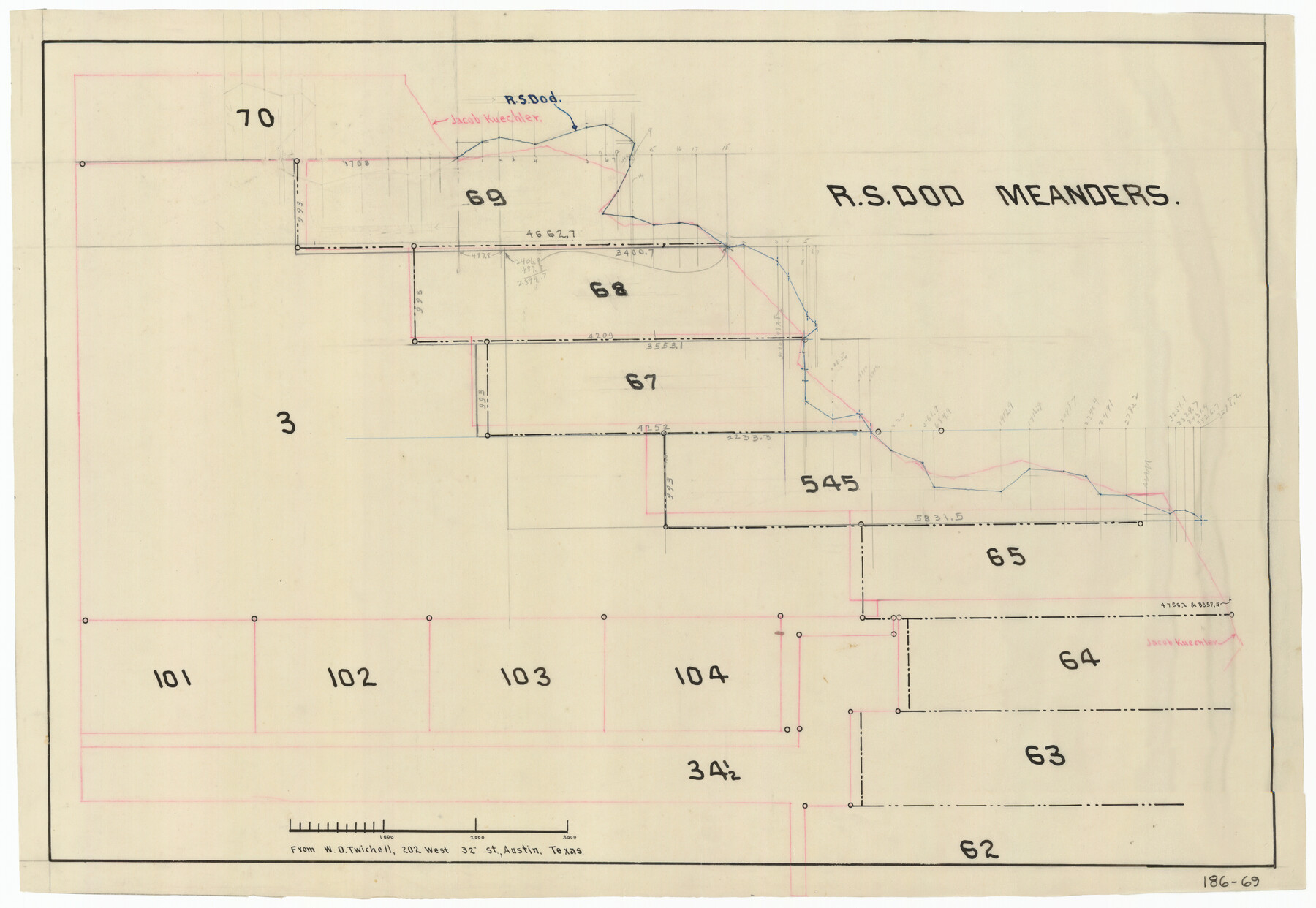
R. S. Dod Meanders
186-69
-
Map/Doc
91675
-
Collection
Twichell Survey Records
-
Counties
Pecos
-
Height x Width
19.0 x 13.2 inches
48.3 x 33.5 cm
Part of: Twichell Survey Records
Plat of South Side Addition on Section 37 Block 17, Wheeler County, Texas

Print $20.00
- Digital $50.00
Plat of South Side Addition on Section 37 Block 17, Wheeler County, Texas
Size 12.0 x 16.9 inches
Map/Doc 92103
Working Sketch Bastrop County

Print $20.00
- Digital $50.00
Working Sketch Bastrop County
1923
Size 23.1 x 13.7 inches
Map/Doc 90150
[Vicinity of Wilson Strickland Survey]
![91379, [Vicinity of Wilson Strickland Survey], Twichell Survey Records](https://historictexasmaps.com/wmedia_w700/maps/91379-1.tif.jpg)
Print $20.00
- Digital $50.00
[Vicinity of Wilson Strickland Survey]
Size 35.9 x 33.3 inches
Map/Doc 91379
[Lamb County Sketch File C]
![91193, [Lamb County Sketch File C], Twichell Survey Records](https://historictexasmaps.com/wmedia_w700/maps/91193-1.tif.jpg)
Print $20.00
- Digital $50.00
[Lamb County Sketch File C]
1904
Size 20.1 x 27.2 inches
Map/Doc 91193


Lamb-Castro County Line

Print $20.00
- Digital $50.00
Lamb-Castro County Line
Size 45.2 x 14.8 inches
Map/Doc 91059
[South part of Bailey County showing School Leagues]
![92992, [South part of Bailey County showing School Leagues], Twichell Survey Records](https://historictexasmaps.com/wmedia_w700/maps/92992-1.tif.jpg)
Print $2.00
- Digital $50.00
[South part of Bailey County showing School Leagues]
1913
Size 12.1 x 8.1 inches
Map/Doc 92992
Plat of Green Valley Ranch

Print $20.00
- Digital $50.00
Plat of Green Valley Ranch
Size 14.4 x 23.2 inches
Map/Doc 92909
[Block C41 and vicinity]
![92624, [Block C41 and vicinity], Twichell Survey Records](https://historictexasmaps.com/wmedia_w700/maps/92624-1.tif.jpg)
Print $20.00
- Digital $50.00
[Block C41 and vicinity]
1951
Size 24.8 x 19.0 inches
Map/Doc 92624
[Block D, John H. Gibson]
![92003, [Block D, John H. Gibson], Twichell Survey Records](https://historictexasmaps.com/wmedia_w700/maps/92003-1.tif.jpg)
Print $20.00
- Digital $50.00
[Block D, John H. Gibson]
Size 33.2 x 18.4 inches
Map/Doc 92003
[Map showing connecting line from New Mexico to Double Lakes]
![91997, [Map showing connecting line from New Mexico to Double Lakes], Twichell Survey Records](https://historictexasmaps.com/wmedia_w700/maps/91997-1.tif.jpg)
Print $20.00
- Digital $50.00
[Map showing connecting line from New Mexico to Double Lakes]
1913
Size 39.3 x 24.2 inches
Map/Doc 91997
You may also like
Kimble County Sketch File 9

Print $22.00
- Digital $50.00
Kimble County Sketch File 9
1871
Size 8.2 x 14.1 inches
Map/Doc 28927
Kimble County Working Sketch 12

Print $20.00
- Digital $50.00
Kimble County Working Sketch 12
1922
Size 27.6 x 19.5 inches
Map/Doc 70080
Gregg County Boundary File 1

Print $6.00
- Digital $50.00
Gregg County Boundary File 1
Size 10.0 x 7.9 inches
Map/Doc 53981
Travis County Sketch File 65

Print $4.00
- Digital $50.00
Travis County Sketch File 65
1948
Size 9.1 x 9.1 inches
Map/Doc 38438
Marion County Working Sketch 25

Print $20.00
- Digital $50.00
Marion County Working Sketch 25
1968
Size 24.8 x 28.1 inches
Map/Doc 70801
Hardin County Sketch File 62

Print $20.00
- Digital $50.00
Hardin County Sketch File 62
Size 19.9 x 26.2 inches
Map/Doc 11637
Henderson County Working Sketch 28

Print $20.00
- Digital $50.00
Henderson County Working Sketch 28
1955
Size 27.3 x 24.9 inches
Map/Doc 66161
Burnet County Sketch File 29

Print $4.00
- Digital $50.00
Burnet County Sketch File 29
1874
Size 10.1 x 8.1 inches
Map/Doc 16744
[Juan Jose Balli Survey, Kenedy County, Texas]
![[Juan Jose Balli Survey, Kenedy County, Texas]](https://historictexasmaps.com/wmedia_w700/maps/4444 - new.tif.jpg)
Print $3.00
- Digital $50.00
[Juan Jose Balli Survey, Kenedy County, Texas]
Size 9.8 x 13.4 inches
Map/Doc 4444
Flight Mission No. BRA-8M, Frame 83, Jefferson County

Print $20.00
- Digital $50.00
Flight Mission No. BRA-8M, Frame 83, Jefferson County
1953
Size 15.8 x 15.7 inches
Map/Doc 85603
Red River County Working Sketch 43

Print $40.00
- Digital $50.00
Red River County Working Sketch 43
1968
Size 72.5 x 36.8 inches
Map/Doc 72026
Duval County Working Sketch 45

Print $20.00
- Digital $50.00
Duval County Working Sketch 45
1979
Size 29.7 x 30.8 inches
Map/Doc 68769