[Map showing Jno. H. Gibson Block D]
251-7
-
Map/Doc
92001
-
Collection
Twichell Survey Records
-
Counties
Yoakum Terry
-
Height x Width
17.9 x 15.0 inches
45.5 x 38.1 cm
Part of: Twichell Survey Records
[Texas and New Orleans Railroad Company, Block 2]
![92702, [Texas and New Orleans Railroad Company, Block 2], Twichell Survey Records](https://historictexasmaps.com/wmedia_w700/maps/92702-1.tif.jpg)
![92702, [Texas and New Orleans Railroad Company, Block 2], Twichell Survey Records](https://historictexasmaps.com/wmedia_w700/maps/92702-1.tif.jpg)
Print $20.00
- Digital $50.00
[Texas and New Orleans Railroad Company, Block 2]
1906
Size 21.1 x 14.4 inches
Map/Doc 92702
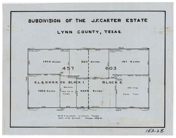
Subdivision of the J. F. Carter Estate

Print $3.00
- Digital $50.00
Subdivision of the J. F. Carter Estate
Size 11.8 x 9.6 inches
Map/Doc 91273
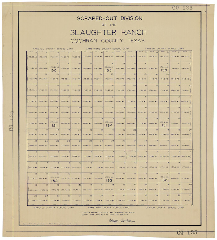
Scraped-Out Division of the Slaughter Ranch Cochran County, Texas

Print $20.00
- Digital $50.00
Scraped-Out Division of the Slaughter Ranch Cochran County, Texas
1936
Size 20.1 x 22.1 inches
Map/Doc 92485
[Sketch showing J.S. Brooks, W.B. Aldredge, Madison County School Land and Others]
![89730, [Sketch showing J.S. Brooks, W.B. Aldredge, Madison County School Land and Others], Twichell Survey Records](https://historictexasmaps.com/wmedia_w700/maps/89730-1.tif.jpg)
![89730, [Sketch showing J.S. Brooks, W.B. Aldredge, Madison County School Land and Others], Twichell Survey Records](https://historictexasmaps.com/wmedia_w700/maps/89730-1.tif.jpg)
Print $20.00
- Digital $50.00
[Sketch showing J.S. Brooks, W.B. Aldredge, Madison County School Land and Others]
Size 37.1 x 39.9 inches
Map/Doc 89730
[Leagues 212- 217, 241- 244, and Vicinity]
![91430, [Leagues 212- 217, 241- 244, and Vicinity], Twichell Survey Records](https://historictexasmaps.com/wmedia_w700/maps/91430-1.tif.jpg)
![91430, [Leagues 212- 217, 241- 244, and Vicinity], Twichell Survey Records](https://historictexasmaps.com/wmedia_w700/maps/91430-1.tif.jpg)
Print $20.00
- Digital $50.00
[Leagues 212- 217, 241- 244, and Vicinity]
1902
Size 20.6 x 6.4 inches
Map/Doc 91430
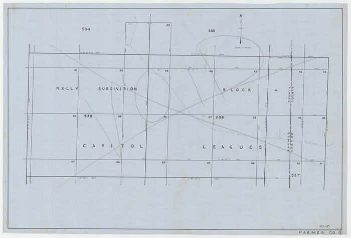
Brazos River Conservation and Reclamation District Official Boundary Line Survey, Parmer County

Print $20.00
- Digital $50.00
Brazos River Conservation and Reclamation District Official Boundary Line Survey, Parmer County
Size 24.6 x 16.8 inches
Map/Doc 91657
[Eastern Texas RR. Co. Block 1]
![91896, [Eastern Texas RR. Co. Block 1], Twichell Survey Records](https://historictexasmaps.com/wmedia_w700/maps/91896-1.tif.jpg)
![91896, [Eastern Texas RR. Co. Block 1], Twichell Survey Records](https://historictexasmaps.com/wmedia_w700/maps/91896-1.tif.jpg)
Print $20.00
- Digital $50.00
[Eastern Texas RR. Co. Block 1]
Size 17.9 x 15.3 inches
Map/Doc 91896
[Blocks M8, M9, M11, W1, RC and A. & B. Block A]
![91931, [Blocks M8, M9, M11, W1, RC and A. & B. Block A], Twichell Survey Records](https://historictexasmaps.com/wmedia_w700/maps/91931-1.tif.jpg)
![91931, [Blocks M8, M9, M11, W1, RC and A. & B. Block A], Twichell Survey Records](https://historictexasmaps.com/wmedia_w700/maps/91931-1.tif.jpg)
Print $20.00
- Digital $50.00
[Blocks M8, M9, M11, W1, RC and A. & B. Block A]
Size 32.0 x 25.2 inches
Map/Doc 91931
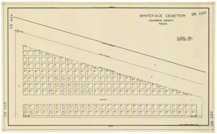
Whiteface Cemetery

Print $20.00
- Digital $50.00
Whiteface Cemetery
Size 29.3 x 18.0 inches
Map/Doc 92525
[Blocks XO3 and I]
![91167, [Blocks XO3 and I], Twichell Survey Records](https://historictexasmaps.com/wmedia_w700/maps/91167-1.tif.jpg)
![91167, [Blocks XO3 and I], Twichell Survey Records](https://historictexasmaps.com/wmedia_w700/maps/91167-1.tif.jpg)
Print $2.00
- Digital $50.00
[Blocks XO3 and I]
Size 6.5 x 11.8 inches
Map/Doc 91167
[West Half of Potter County, South of River and West Half of Randall County]
![91828, [West Half of Potter County, South of River and West Half of Randall County], Twichell Survey Records](https://historictexasmaps.com/wmedia_w700/maps/91828.tif.jpg)
![91828, [West Half of Potter County, South of River and West Half of Randall County], Twichell Survey Records](https://historictexasmaps.com/wmedia_w700/maps/91828.tif.jpg)
Print $20.00
- Digital $50.00
[West Half of Potter County, South of River and West Half of Randall County]
Size 25.9 x 43.0 inches
Map/Doc 91828
You may also like
Matagorda County Sketch File 47


Print $68.00
- Digital $50.00
Matagorda County Sketch File 47
Size 11.2 x 8.6 inches
Map/Doc 30976
Flight Mission No. CLL-1N, Frame 21, Willacy County


Print $20.00
- Digital $50.00
Flight Mission No. CLL-1N, Frame 21, Willacy County
1954
Size 18.7 x 22.3 inches
Map/Doc 87008
Plano General de la Ciudad de Mexico. Levantado Por el Teniente Coronel Don Diego Garcia Conde en el Año de 1793. Aumentado y corregido en lo mas notable Por el Teniente Coronel retirado, Don Rafael Maria Calvo En el de 1830


Print $20.00
- Digital $50.00
Plano General de la Ciudad de Mexico. Levantado Por el Teniente Coronel Don Diego Garcia Conde en el Año de 1793. Aumentado y corregido en lo mas notable Por el Teniente Coronel retirado, Don Rafael Maria Calvo En el de 1830
1793
Size 19.7 x 21.8 inches
Map/Doc 95354
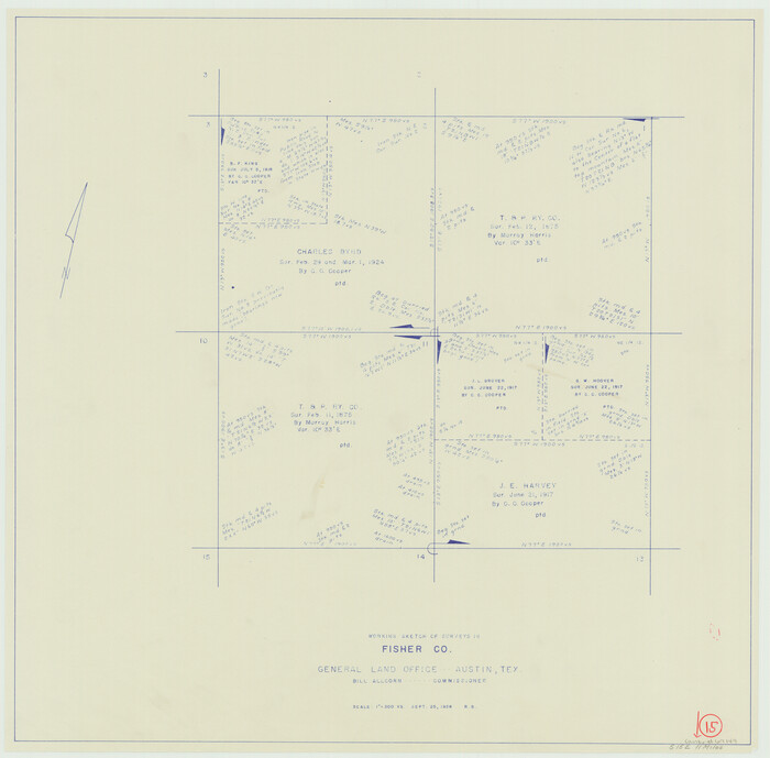
Fisher County Working Sketch 15

Print $20.00
- Digital $50.00
Fisher County Working Sketch 15
1958
Size 22.2 x 22.6 inches
Map/Doc 69149
Rockwall County Boundary File 75


Print $18.00
- Digital $50.00
Rockwall County Boundary File 75
Size 9.0 x 11.7 inches
Map/Doc 58472
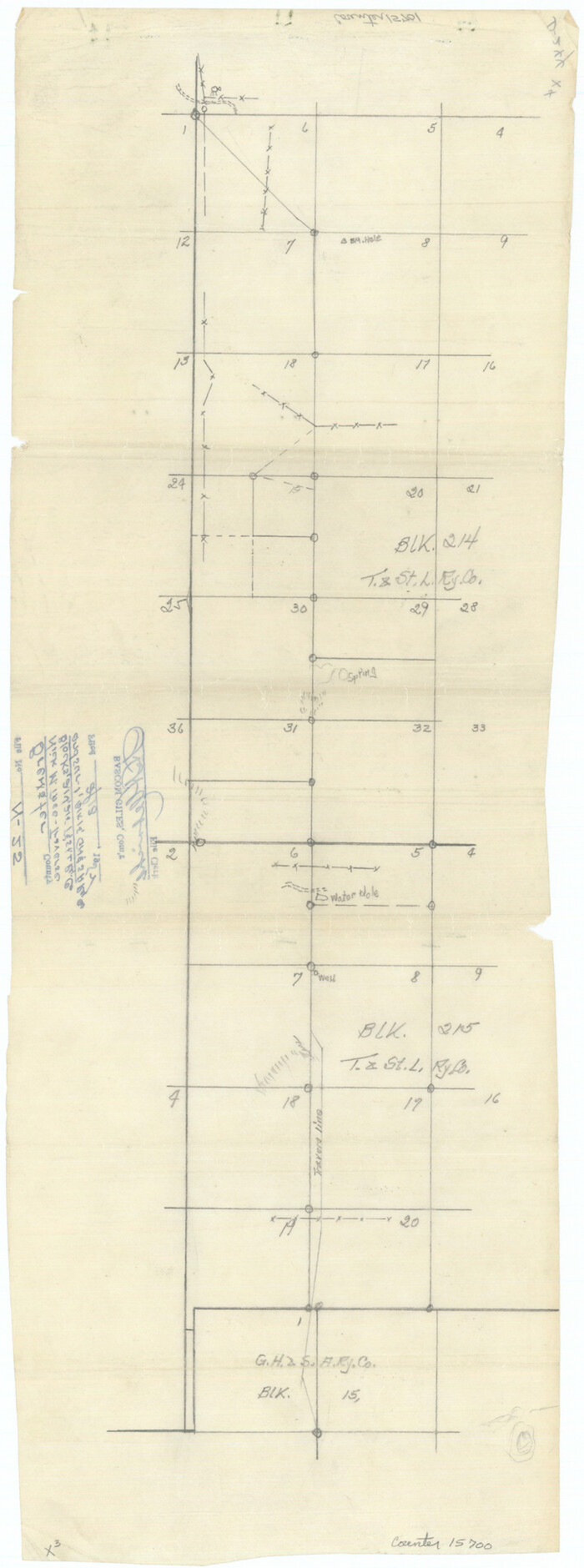
Brewster County Sketch File N-25

Print $28.00
- Digital $50.00
Brewster County Sketch File N-25
1952
Size 24.4 x 9.1 inches
Map/Doc 15700
Ward County Working Sketch 30


Print $40.00
- Digital $50.00
Ward County Working Sketch 30
1964
Size 118.5 x 43.4 inches
Map/Doc 72336
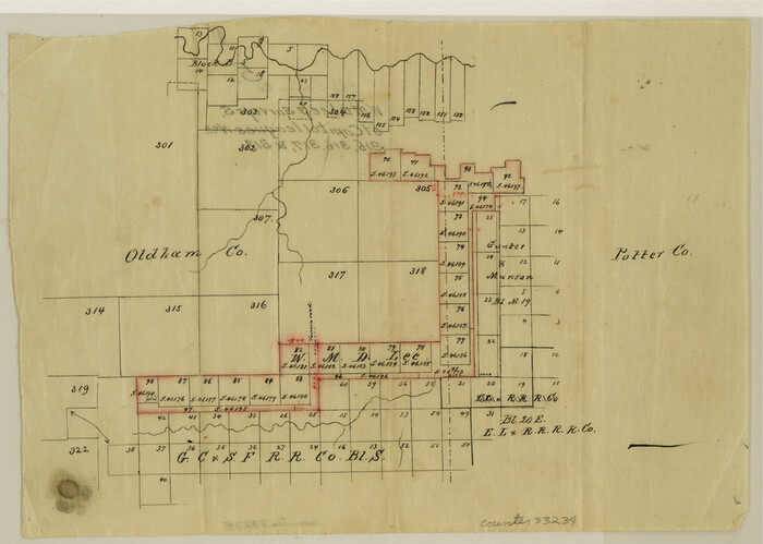
Oldham County Sketch File 5

Print $4.00
- Digital $50.00
Oldham County Sketch File 5
Size 8.5 x 11.9 inches
Map/Doc 33234
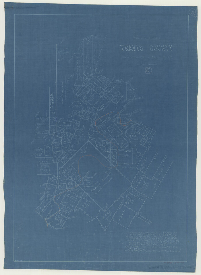
Travis County Working Sketch 5

Print $20.00
- Digital $50.00
Travis County Working Sketch 5
1910
Size 28.3 x 20.7 inches
Map/Doc 69389
Mills County Working Sketch 28


Print $40.00
- Digital $50.00
Mills County Working Sketch 28
2006
Size 42.0 x 67.4 inches
Map/Doc 85385
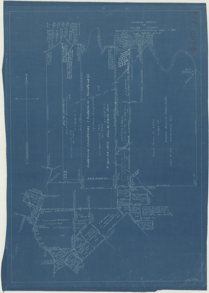
Goliad County Working Sketch 2

Print $20.00
- Digital $50.00
Goliad County Working Sketch 2
1916
Size 15.5 x 21.6 inches
Map/Doc 63192
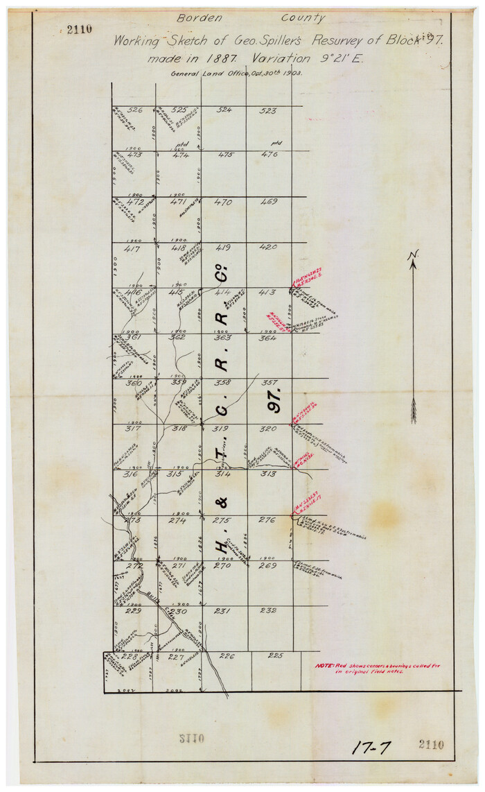
Borden County Working Sketch of Geo. Spiller's Resurvey of Block 97 made in 1887

Print $3.00
- Digital $50.00
Borden County Working Sketch of Geo. Spiller's Resurvey of Block 97 made in 1887
1903
Size 10.1 x 16.6 inches
Map/Doc 90211
![92001, [Map showing Jno. H. Gibson Block D], Twichell Survey Records](https://historictexasmaps.com/wmedia_w1800h1800/maps/92001-1.tif.jpg)
