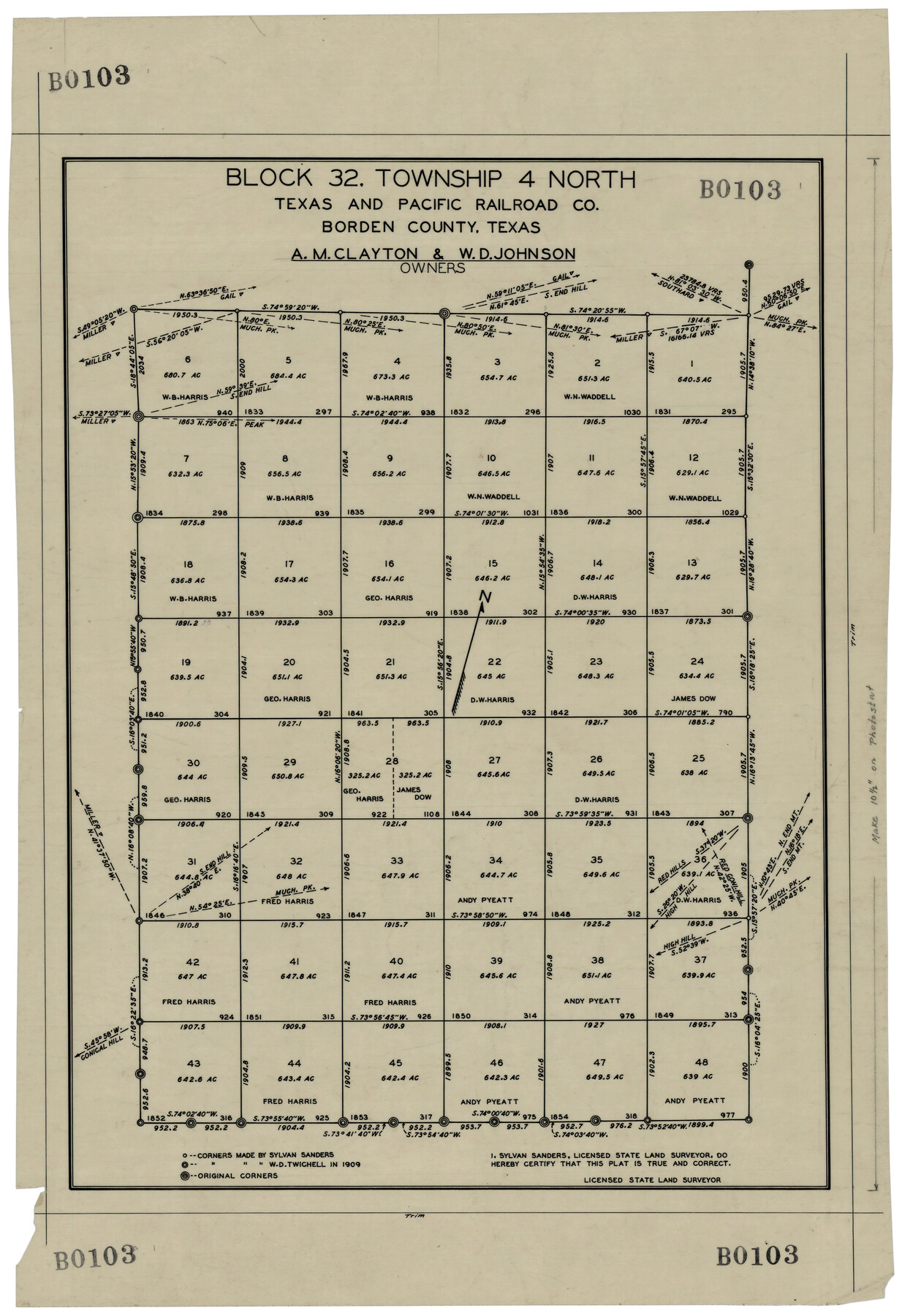
Block 32, Township 4 North
BO103
-
Map/Doc
92507
-
Collection
Twichell Survey Records
-
People and Organizations
Sylvan Sanders (Surveyor/Engineer)
-
Counties
Borden
-
Height x Width
17.5 x 25.3 inches
44.5 x 64.3 cm
Part of: Twichell Survey Records
Map of Escarpment Section through Webb County, Texas (North half of Webb County)

Print $40.00
- Digital $50.00
Map of Escarpment Section through Webb County, Texas (North half of Webb County)
1925
Size 43.3 x 76.3 inches
Map/Doc 93162
[County School Land for Shackelford, Reeves, Hardeman, Val Verde, Hood, Martin, Rusk, Atascosa, and Edwards Counties]
![91100, [County School Land for Shackelford, Reeves, Hardeman, Val Verde, Hood, Martin, Rusk, Atascosa, and Edwards Counties], Twichell Survey Records](https://historictexasmaps.com/wmedia_w700/maps/91100-1.tif.jpg)
Print $2.00
- Digital $50.00
[County School Land for Shackelford, Reeves, Hardeman, Val Verde, Hood, Martin, Rusk, Atascosa, and Edwards Counties]
Size 7.5 x 6.4 inches
Map/Doc 91100
Waynick Subdivision

Print $3.00
- Digital $50.00
Waynick Subdivision
1952
Size 11.8 x 17.8 inches
Map/Doc 92415
[Sketch of area around Mary Fury and John P. Rohus Surveys]
![91917, [Sketch of area around Mary Fury and John P. Rohus Surveys], Twichell Survey Records](https://historictexasmaps.com/wmedia_w700/maps/91917-1.tif.jpg)
Print $20.00
- Digital $50.00
[Sketch of area around Mary Fury and John P. Rohus Surveys]
Size 19.4 x 19.7 inches
Map/Doc 91917
[Notes and map showing Public School Land Block K between Yoakum and Terry Counties]
![92010, [Notes and map showing Public School Land Block K between Yoakum and Terry Counties], Twichell Survey Records](https://historictexasmaps.com/wmedia_w700/maps/92010-1.tif.jpg)
Print $2.00
- Digital $50.00
[Notes and map showing Public School Land Block K between Yoakum and Terry Counties]
Size 8.3 x 5.7 inches
Map/Doc 92010
Map Showing Corrections of Capitol Leagues in Conflict in Oldham Co.

Print $40.00
- Digital $50.00
Map Showing Corrections of Capitol Leagues in Conflict in Oldham Co.
1886
Size 52.5 x 31.3 inches
Map/Doc 89800
Terry County Memorial Cemetery

Print $20.00
- Digital $50.00
Terry County Memorial Cemetery
Size 35.3 x 14.4 inches
Map/Doc 92931
Map and Field Notes of D. & N. T. RR. Through E. L. Ellwood's Pasture

Print $20.00
- Digital $50.00
Map and Field Notes of D. & N. T. RR. Through E. L. Ellwood's Pasture
1912
Size 39.5 x 12.1 inches
Map/Doc 91003
[John Welch, W. F. Butter, and surrounding surveys]
![91011, [John Welch, W. F. Butter, and surrounding surveys], Twichell Survey Records](https://historictexasmaps.com/wmedia_w700/maps/91011-1.tif.jpg)
Print $3.00
- Digital $50.00
[John Welch, W. F. Butter, and surrounding surveys]
Size 17.1 x 10.9 inches
Map/Doc 91011
[Sketch of Blks. C-11, C-10, C-8, C-9, C-17 and other in vicinity]
![89793, [Sketch of Blks. C-11, C-10, C-8, C-9, C-17 and other in vicinity], Twichell Survey Records](https://historictexasmaps.com/wmedia_w700/maps/89793-1.tif.jpg)
Print $20.00
- Digital $50.00
[Sketch of Blks. C-11, C-10, C-8, C-9, C-17 and other in vicinity]
Size 43.8 x 39.2 inches
Map/Doc 89793
[Leagues 1, 2, 281, 282, 284, and 285]
![92563, [Leagues 1, 2, 281, 282, 284, and 285], Twichell Survey Records](https://historictexasmaps.com/wmedia_w700/maps/92563-1.tif.jpg)
Print $20.00
- Digital $50.00
[Leagues 1, 2, 281, 282, 284, and 285]
Size 23.8 x 19.3 inches
Map/Doc 92563
[Map showing J. H. Gibson Blocks D and DD and Double Lake Corner]
![92015, [Map showing J. H. Gibson Blocks D and DD and Double Lake Corner], Twichell Survey Records](https://historictexasmaps.com/wmedia_w700/maps/92015-1.tif.jpg)
Print $20.00
- Digital $50.00
[Map showing J. H. Gibson Blocks D and DD and Double Lake Corner]
Size 36.4 x 33.6 inches
Map/Doc 92015
You may also like
Flight Mission No. CLL-3N, Frame 39, Willacy County

Print $20.00
- Digital $50.00
Flight Mission No. CLL-3N, Frame 39, Willacy County
1954
Size 18.3 x 22.0 inches
Map/Doc 87097
Hardin County Working Sketch 37

Print $40.00
- Digital $50.00
Hardin County Working Sketch 37
1981
Size 68.5 x 37.4 inches
Map/Doc 63435
Cameron County Rolled Sketch 28C

Print $20.00
- Digital $50.00
Cameron County Rolled Sketch 28C
Size 20.3 x 16.3 inches
Map/Doc 5393
General Highway Map, Milam County, Texas

Print $20.00
General Highway Map, Milam County, Texas
1961
Size 18.1 x 24.6 inches
Map/Doc 79597

[Map of Denton County]
![4529, [Map of Denton County], General Map Collection](https://historictexasmaps.com/wmedia_w700/maps/4529-1.tif.jpg)
Print $20.00
- Digital $50.00
[Map of Denton County]
1853
Size 24.5 x 29.1 inches
Map/Doc 4529
Flight Mission No. DIX-10P, Frame 165, Aransas County

Print $20.00
- Digital $50.00
Flight Mission No. DIX-10P, Frame 165, Aransas County
1956
Size 18.6 x 22.3 inches
Map/Doc 83955
Edwards County Working Sketch 131

Print $20.00
- Digital $50.00
Edwards County Working Sketch 131
1984
Size 21.0 x 18.6 inches
Map/Doc 69007
Revised Plat of Tahoka Heights Addition Located on the SE 1/4 of Section 568

Print $20.00
- Digital $50.00
Revised Plat of Tahoka Heights Addition Located on the SE 1/4 of Section 568
Size 17.5 x 21.9 inches
Map/Doc 92942
Eastland County Working Sketch 40

Print $20.00
- Digital $50.00
Eastland County Working Sketch 40
1970
Size 27.9 x 26.0 inches
Map/Doc 68821
Aransas Pass to Baffin Bay

Print $20.00
- Digital $50.00
Aransas Pass to Baffin Bay
1966
Size 42.3 x 35.0 inches
Map/Doc 73415
United States Population Distribution by County and Territory, per the U.S. Census of 1900

United States Population Distribution by County and Territory, per the U.S. Census of 1900
2025
Size 8.5 x 11.0 inches
Map/Doc 97481