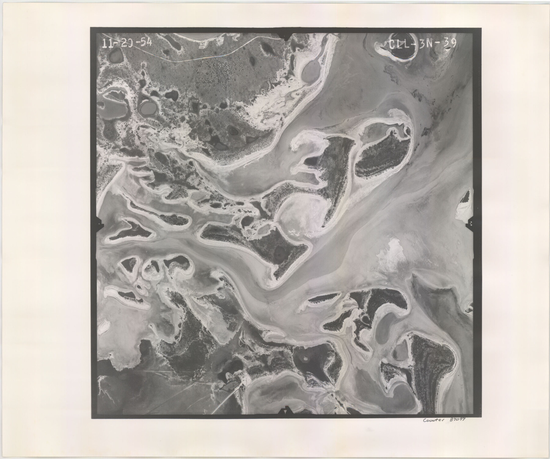
Flight Mission No. CLL-3N, Frame 39, Willacy County
CLL-3N-39
-
Map/Doc
87097
-
Collection
General Map Collection
-
Object Dates
1954/11/20 (Creation Date)
-
People and Organizations
U. S. Department of Agriculture (Publisher)
-
Counties
Willacy
-
Subjects
Aerial Photograph
-
Height x Width
18.3 x 22.0 inches
46.5 x 55.9 cm
-
Comments
Flown by Puckett Aerial Surveys, Inc. of Jackson, Mississippi.
Part of: General Map Collection
Austin County Sketch File 13

Print $40.00
- Digital $50.00
Austin County Sketch File 13
Size 13.9 x 13.2 inches
Map/Doc 10877
Reeves County Working Sketch 47

Print $20.00
- Digital $50.00
Reeves County Working Sketch 47
1974
Size 45.8 x 24.6 inches
Map/Doc 63490
Kimble County Working Sketch 17

Print $20.00
- Digital $50.00
Kimble County Working Sketch 17
1924
Size 27.8 x 22.5 inches
Map/Doc 70085
Eastland County Sketch File 22

Print $33.00
- Digital $50.00
Eastland County Sketch File 22
1964
Size 11.0 x 17.0 inches
Map/Doc 21626
Uvalde County Working Sketch 48

Print $20.00
- Digital $50.00
Uvalde County Working Sketch 48
1980
Size 15.6 x 17.9 inches
Map/Doc 72118
Hardin County Sketch File 71

Print $94.00
- Digital $50.00
Hardin County Sketch File 71
1997
Size 11.4 x 8.8 inches
Map/Doc 25259
San Jacinto County Working Sketch 19

Print $20.00
- Digital $50.00
San Jacinto County Working Sketch 19
1939
Size 25.4 x 25.2 inches
Map/Doc 63732
Wise County Sketch File 32

Print $5.00
- Digital $50.00
Wise County Sketch File 32
1880
Size 16.4 x 11.0 inches
Map/Doc 40588
Val Verde County Sketch File 19a

Print $42.00
- Digital $50.00
Val Verde County Sketch File 19a
Size 29.4 x 15.1 inches
Map/Doc 12568
Travis County Working Sketch 33

Print $20.00
- Digital $50.00
Travis County Working Sketch 33
1966
Size 35.0 x 37.2 inches
Map/Doc 69417
Briscoe County Sketch File 9

Print $40.00
- Digital $50.00
Briscoe County Sketch File 9
1896
Size 31.9 x 27.2 inches
Map/Doc 10996
Flight Mission No. CUG-1P, Frame 21, Kleberg County

Print $20.00
- Digital $50.00
Flight Mission No. CUG-1P, Frame 21, Kleberg County
1956
Size 18.5 x 22.2 inches
Map/Doc 86111
You may also like
Mrs. Don D. Kinnebrew Farm Section 72, Block A

Print $20.00
- Digital $50.00
Mrs. Don D. Kinnebrew Farm Section 72, Block A
Size 15.6 x 18.0 inches
Map/Doc 92290
Hutchinson County Working Sketch Graphic Index - sheet 1

Print $20.00
- Digital $50.00
Hutchinson County Working Sketch Graphic Index - sheet 1
1922
Size 44.1 x 36.8 inches
Map/Doc 76586
Brewster County Boundary File 1a

Print $80.00
- Digital $50.00
Brewster County Boundary File 1a
Size 94.0 x 13.8 inches
Map/Doc 50738
Map showing the John B. Pier Survey, Near Houston

Print $3.00
- Digital $50.00
Map showing the John B. Pier Survey, Near Houston
Size 11.9 x 17.8 inches
Map/Doc 478
General Highway Map, Jack County, Texas

Print $20.00
General Highway Map, Jack County, Texas
1961
Size 18.2 x 24.5 inches
Map/Doc 79532

King County Rolled Sketch 12

Print $20.00
- Digital $50.00
King County Rolled Sketch 12
1955
Size 40.9 x 45.7 inches
Map/Doc 9352
Bien & Sterner's New Rail Road Map of the United States and the Canadas compiled from the latest surveys & locations under the direction of Zerah Colburn Esq., editor of the Rail Road Advocate

Print $20.00
- Digital $50.00
Bien & Sterner's New Rail Road Map of the United States and the Canadas compiled from the latest surveys & locations under the direction of Zerah Colburn Esq., editor of the Rail Road Advocate
1855
Size 27.5 x 32.3 inches
Map/Doc 95963
Aransas County Sketch File 18

Print $8.00
- Digital $50.00
Aransas County Sketch File 18
1888
Size 12.7 x 8.2 inches
Map/Doc 13149
Wharton County Rolled Sketch 3

Print $20.00
- Digital $50.00
Wharton County Rolled Sketch 3
Size 28.9 x 31.4 inches
Map/Doc 8228
Flight Mission No. BQR-7K, Frame 32, Brazoria County

Print $20.00
- Digital $50.00
Flight Mission No. BQR-7K, Frame 32, Brazoria County
1952
Size 18.6 x 22.2 inches
Map/Doc 84030
Hardin County

Print $20.00
- Digital $50.00
Hardin County
1940
Size 47.4 x 42.4 inches
Map/Doc 73171