Kleberg County Rolled Sketch 10-20
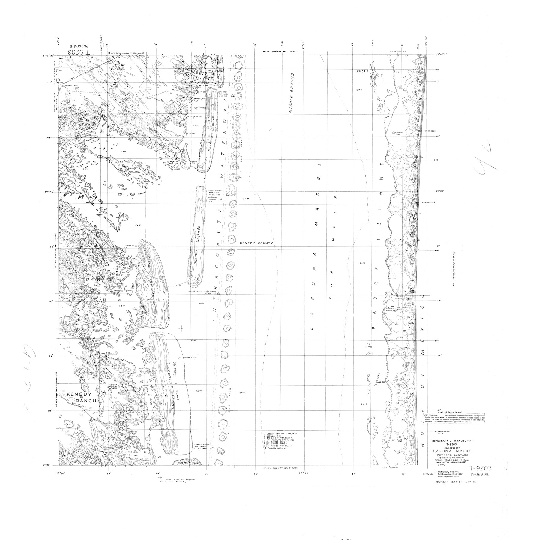
Topographic Manuscript T-9203, Laguna Madre, Potrero Cortado
-
Map/Doc
9368
-
Collection
General Map Collection
-
Object Dates
1952 (Creation Date)
-
Counties
Kenedy
-
Subjects
Surveying Rolled Sketch
-
Height x Width
35.9 x 35.7 inches
91.2 x 90.7 cm
Part of: General Map Collection
Hardeman County Boundary File 2

Print $20.00
- Digital $50.00
Hardeman County Boundary File 2
Size 42.0 x 13.5 inches
Map/Doc 54374
Red River County Working Sketch 69

Print $20.00
- Digital $50.00
Red River County Working Sketch 69
1975
Size 23.7 x 19.1 inches
Map/Doc 72052
Flight Mission No. DQO-2K, Frame 135, Galveston County

Print $20.00
- Digital $50.00
Flight Mission No. DQO-2K, Frame 135, Galveston County
1952
Size 18.7 x 22.5 inches
Map/Doc 85032
Rusk County Working Sketch 18

Print $20.00
- Digital $50.00
Rusk County Working Sketch 18
1955
Size 32.6 x 28.3 inches
Map/Doc 63653
Tarrant County Sketch File 26

Print $24.00
- Digital $50.00
Tarrant County Sketch File 26
1874
Size 12.7 x 8.4 inches
Map/Doc 37739
Hays County Rolled Sketch 22

Print $20.00
- Digital $50.00
Hays County Rolled Sketch 22
1924
Size 19.4 x 20.6 inches
Map/Doc 6178

Goliad County Working Sketch 18

Print $20.00
- Digital $50.00
Goliad County Working Sketch 18
1949
Size 31.2 x 39.4 inches
Map/Doc 63208
Midland County

Print $20.00
- Digital $50.00
Midland County
1930
Size 45.7 x 39.6 inches
Map/Doc 66930
Wharton County Working Sketch 3

Print $20.00
- Digital $50.00
Wharton County Working Sketch 3
Size 17.5 x 16.4 inches
Map/Doc 72467
Newton County Sketch File 40

Print $6.00
- Digital $50.00
Newton County Sketch File 40
Size 16.2 x 10.6 inches
Map/Doc 32419
History Salvaged from the Sea

History Salvaged from the Sea
1977
Size 23.0 x 30.4 inches
Map/Doc 96836
You may also like
Culberson County Sketch File 23

Print $10.00
- Digital $50.00
Culberson County Sketch File 23
1938
Size 14.2 x 8.6 inches
Map/Doc 20238
Red River County Working Sketch 9

Print $20.00
- Digital $50.00
Red River County Working Sketch 9
1920
Size 15.2 x 18.9 inches
Map/Doc 71992
Revised Map of Matagorda Bay and Vicinity in Matagorda and Calhoun Counties showing subdivision for mineral development

Print $40.00
- Digital $50.00
Revised Map of Matagorda Bay and Vicinity in Matagorda and Calhoun Counties showing subdivision for mineral development
1941
Size 44.3 x 60.0 inches
Map/Doc 2933
Outer Continental Shelf Leasing Maps (Louisiana Offshore Operations)

Print $20.00
- Digital $50.00
Outer Continental Shelf Leasing Maps (Louisiana Offshore Operations)
1954
Size 21.2 x 16.3 inches
Map/Doc 76103
Map of Baffin & Alazan Bays, Cayo Infiernillo in Kenedy & Kleberg Counties Showing Subdivision for Mineral Development

Print $40.00
- Digital $50.00
Map of Baffin & Alazan Bays, Cayo Infiernillo in Kenedy & Kleberg Counties Showing Subdivision for Mineral Development
1949
Size 30.5 x 54.2 inches
Map/Doc 3017
Potter County Working Sketch 12

Print $40.00
- Digital $50.00
Potter County Working Sketch 12
1972
Size 64.4 x 42.4 inches
Map/Doc 71672
The Land Offices. No. 10, Bexar, December 22, 1836

Print $20.00
The Land Offices. No. 10, Bexar, December 22, 1836
2020
Size 19.2 x 16.2 inches
Map/Doc 96423
Edwards County Working Sketch 136

Print $20.00
- Digital $50.00
Edwards County Working Sketch 136
1997
Size 18.4 x 25.4 inches
Map/Doc 69012
Orange County Working Sketch 54a

Print $40.00
- Digital $50.00
Orange County Working Sketch 54a
2008
Size 22.9 x 48.0 inches
Map/Doc 88742
Flight Mission No. CGI-2N, Frame 155, Cameron County

Print $20.00
- Digital $50.00
Flight Mission No. CGI-2N, Frame 155, Cameron County
1954
Size 18.5 x 22.1 inches
Map/Doc 84537
Map of the Mexican National Railway showing the lines granted by the Mexican Government to the Mexican National Construction Company (Palmer-Sullivan Concession)

Print $20.00
Map of the Mexican National Railway showing the lines granted by the Mexican Government to the Mexican National Construction Company (Palmer-Sullivan Concession)
1881
Size 26.8 x 40.6 inches
Map/Doc 95315
Nueces County Sketch File 22a

Print $6.00
- Digital $50.00
Nueces County Sketch File 22a
1884
Size 9.3 x 11.8 inches
Map/Doc 32561