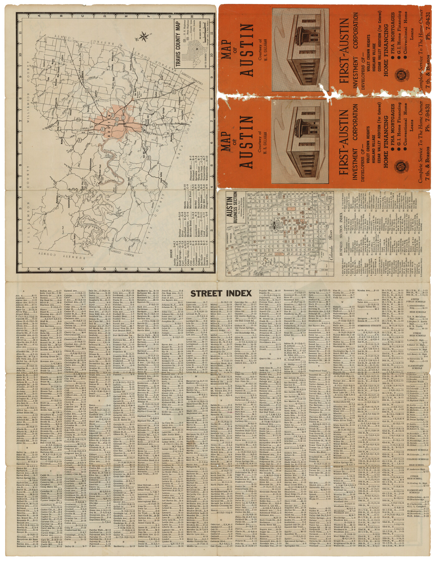
Ashburn's Austin City Map
-
Map/Doc
93731
-
Collection
Non-GLO Digital Images
-
Object Dates
1954 (Creation Date)
-
People and Organizations
Mrs. Helen Dailey (Donor)
J. Foster Ashburn (Author)
-
Subjects
City
-
Comments
Image donated by Mrs. Helen Dailey. Map copyrighted and unavailable for duplication. Presented for research purposes only.
Part of: Non-GLO Digital Images
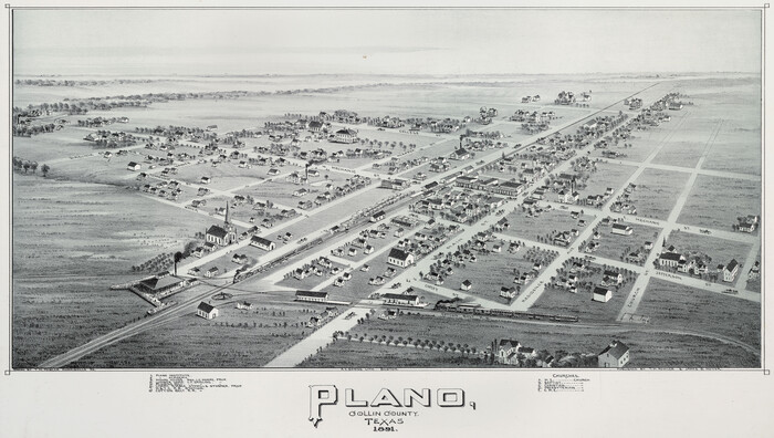
Plano, Collin County, Texas

Print $20.00
Plano, Collin County, Texas
1891
Size 12.8 x 22.6 inches
Map/Doc 93758
The Official Map of the City of El Paso, State of Texas


Print $20.00
The Official Map of the City of El Paso, State of Texas
1889
Size 41.9 x 46.2 inches
Map/Doc 89618
A Geological Map of the United States


Print $20.00
A Geological Map of the United States
Size 10.2 x 15.9 inches
Map/Doc 95281
Guadalupe-Blanco River Authority Master Plan


Print $20.00
Guadalupe-Blanco River Authority Master Plan
Size 23.1 x 29.8 inches
Map/Doc 97506
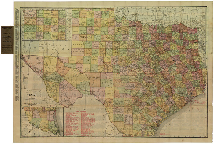
The Rand-McNally New Commercial Atlas Map of Texas

Print $20.00
The Rand-McNally New Commercial Atlas Map of Texas
1914
Size 28.6 x 42.4 inches
Map/Doc 78225
[Town plat of San Marcos]
![83002, [Town plat of San Marcos], Non-GLO Digital Images](https://historictexasmaps.com/wmedia_w700/maps/83002.tif.jpg)
![83002, [Town plat of San Marcos], Non-GLO Digital Images](https://historictexasmaps.com/wmedia_w700/maps/83002.tif.jpg)
Print $20.00
[Town plat of San Marcos]
Size 15.8 x 10.1 inches
Map/Doc 83002
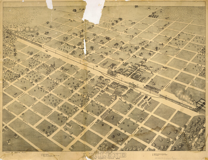
Bird's Eye View of Abilene, Taylor County, Texas

Print $20.00
Bird's Eye View of Abilene, Taylor County, Texas
1883
Size 23.6 x 30.7 inches
Map/Doc 89071
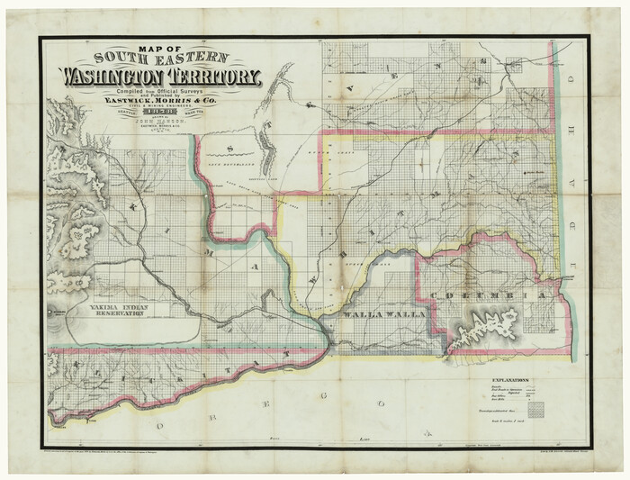
Map of South Eastern Washington Territory

Print $20.00
Map of South Eastern Washington Territory
1878
Size 31.3 x 41.1 inches
Map/Doc 93942
You may also like
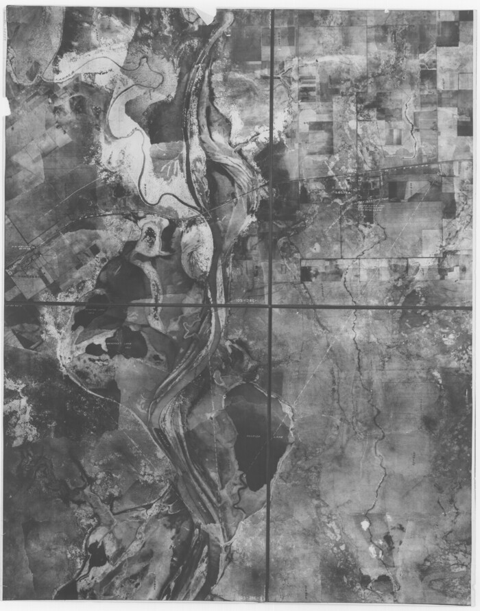
Map of Ramon Musquiz Survey, Meanders of Lavaca & Navidad Rivers, Menefee & Redfish Lakes

Print $20.00
- Digital $50.00
Map of Ramon Musquiz Survey, Meanders of Lavaca & Navidad Rivers, Menefee & Redfish Lakes
1934
Size 23.4 x 18.4 inches
Map/Doc 65455
Hays County Sketch File 3

Print $4.00
- Digital $50.00
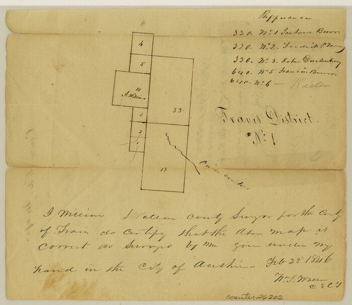
Hays County Sketch File 3
1846
Size 7.1 x 8.2 inches
Map/Doc 26202
Dickens County Sketch File L

Print $22.00
- Digital $50.00
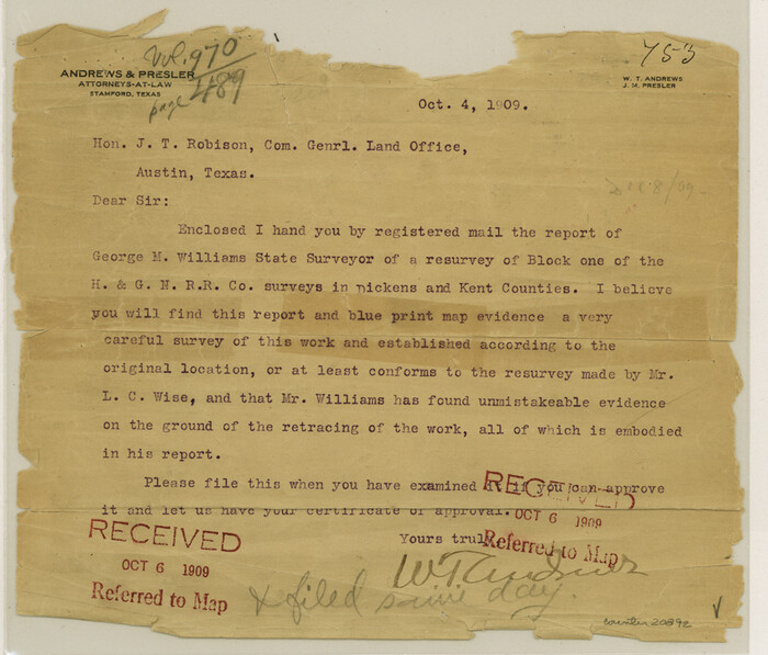
Dickens County Sketch File L
1909
Size 7.7 x 9.0 inches
Map/Doc 20892
Sketch of Northeast Part of Lamb County, Texas


Print $20.00
- Digital $50.00
Sketch of Northeast Part of Lamb County, Texas
Size 24.7 x 20.6 inches
Map/Doc 91062
Map of Eastland Co.


Print $20.00
- Digital $50.00
Map of Eastland Co.
1896
Size 43.2 x 43.1 inches
Map/Doc 78410
[Town plat of San Marcos]
![83002, [Town plat of San Marcos], Non-GLO Digital Images](https://historictexasmaps.com/wmedia_w700/maps/83002.tif.jpg)
![83002, [Town plat of San Marcos], Non-GLO Digital Images](https://historictexasmaps.com/wmedia_w700/maps/83002.tif.jpg)
Print $20.00
[Town plat of San Marcos]
Size 15.8 x 10.1 inches
Map/Doc 83002
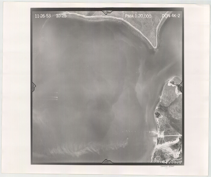
Flight Mission No. DQN-4K, Frame 2, Calhoun County

Print $20.00
- Digital $50.00
Flight Mission No. DQN-4K, Frame 2, Calhoun County
1953
Size 18.6 x 22.2 inches
Map/Doc 84367
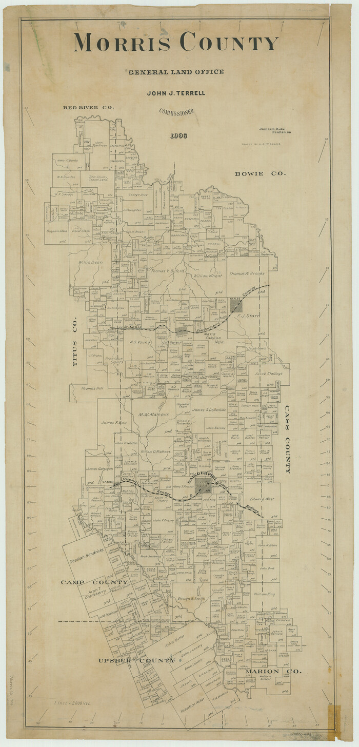
Morris County

Print $20.00
- Digital $50.00
Morris County
1906
Size 46.4 x 22.3 inches
Map/Doc 66943
Flight Mission No. BRE-1P, Frame 150, Nueces County

Print $20.00
- Digital $50.00
Flight Mission No. BRE-1P, Frame 150, Nueces County
1956
Size 18.6 x 22.1 inches
Map/Doc 86710
Fannin County Working Sketch 2


Print $3.00
- Digital $50.00
Fannin County Working Sketch 2
1911
Size 14.9 x 10.3 inches
Map/Doc 69156
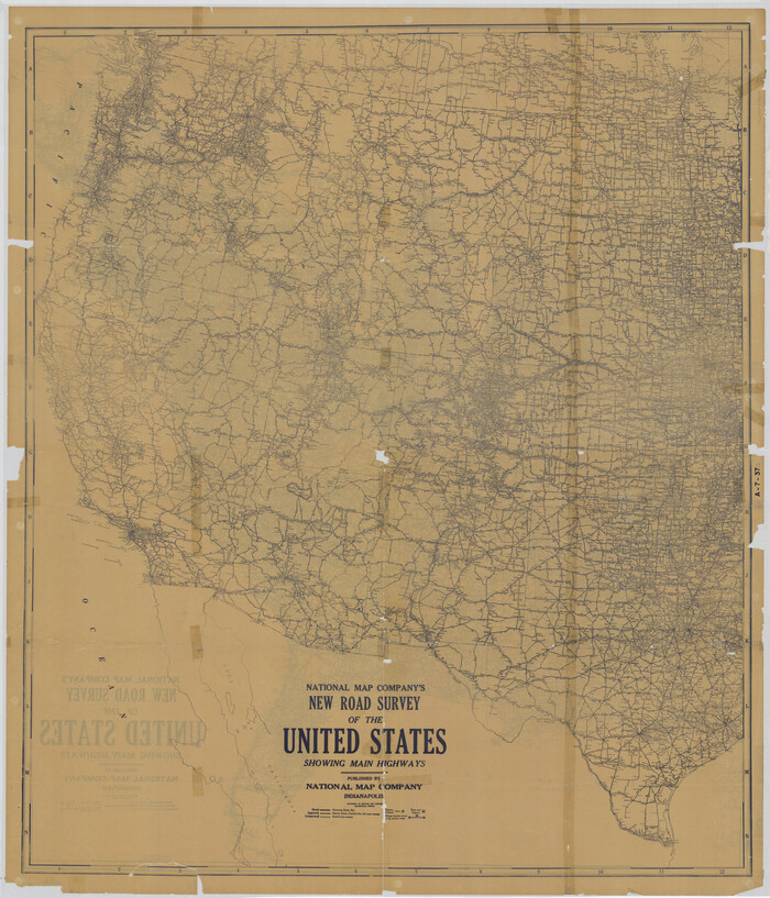
National Map Company's New Road Survey of the United States Showing Main Highways

Digital $50.00
National Map Company's New Road Survey of the United States Showing Main Highways
Size 44.5 x 38.2 inches
Map/Doc 4659
