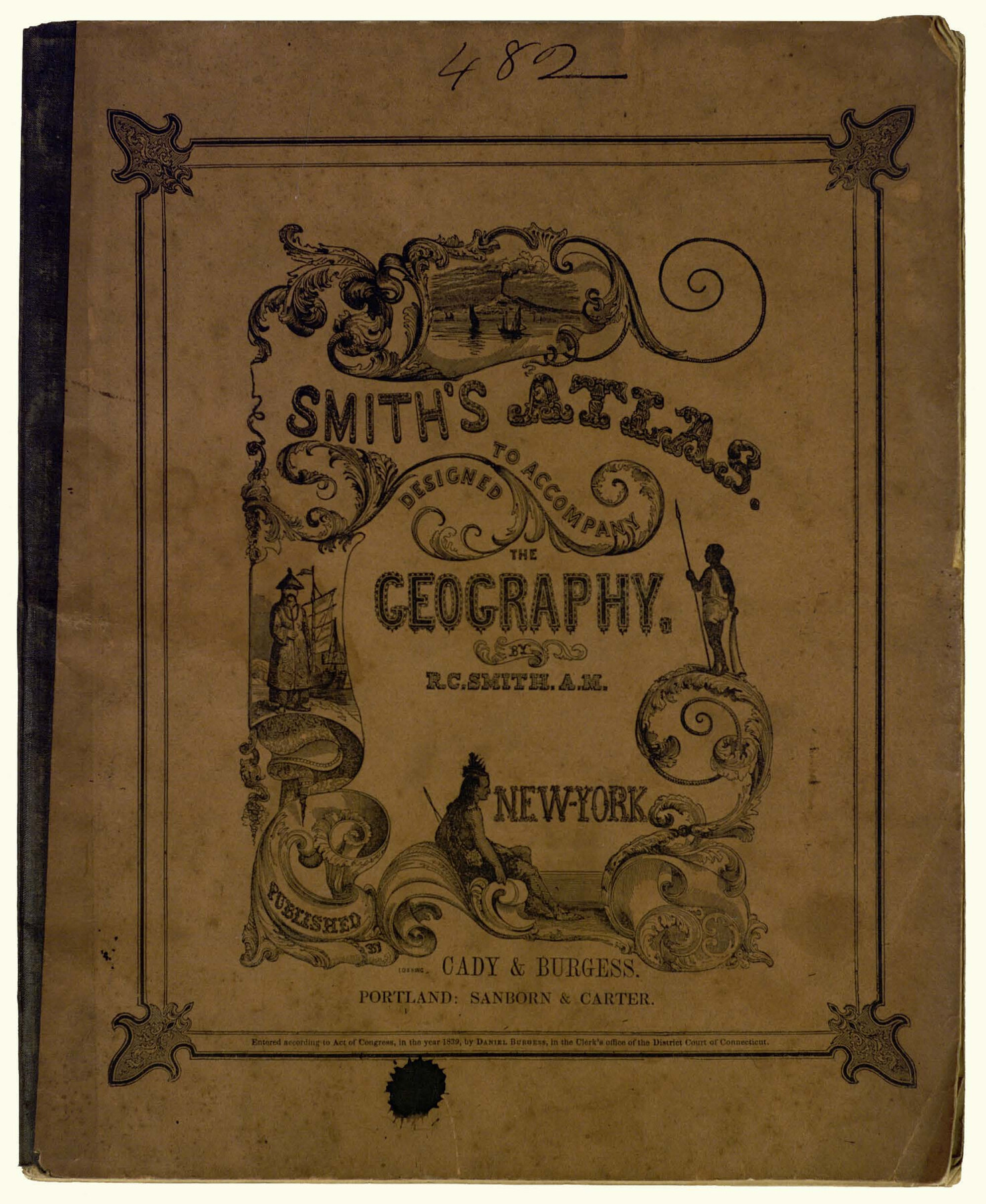
Smith's Atlas designed to accompany the Geography
-
Map/Doc
93881
-
Collection
Holcomb Map Collection
-
Object Dates
1850 (Creation Date)
-
People and Organizations
Cady & Burgess (Publisher)
R.C. Smith (Author)
-
Subjects
Atlas
-
Height x Width
12.2 x 10.0 inches
31.0 x 25.4 cm
-
Comments
Courtesy of Frank and Carol Holcomb.
Part of: Holcomb Map Collection
Americae Sive Novi Orbis Nova Descriptio

Print $20.00
- Digital $50.00
Americae Sive Novi Orbis Nova Descriptio
1606
Size 16.4 x 22.3 inches
Map/Doc 93829
Map of Europe designed to accompany Smith's Geography for Schools

Print $20.00
- Digital $50.00
Map of Europe designed to accompany Smith's Geography for Schools
1850
Size 9.8 x 12.1 inches
Map/Doc 93892
Map of Texas to accompany "Brady's Glimpses of Texas"

Print $20.00
- Digital $50.00
Map of Texas to accompany "Brady's Glimpses of Texas"
1871
Size 13.0 x 16.1 inches
Map/Doc 93907
Colton's New Map of the State of Texas, the Indian Territory and adjoining portions of New Mexico, Louisiana and Arkansas

Print $2.00
- Digital $50.00
Colton's New Map of the State of Texas, the Indian Territory and adjoining portions of New Mexico, Louisiana and Arkansas
1882
Size 8.5 x 5.0 inches
Map/Doc 93921
Karte des Staates, Texas

Print $20.00
- Digital $50.00
Karte des Staates, Texas
1851
Size 17.8 x 19.9 inches
Map/Doc 97191
A Map of the United States including Louisiana

Print $20.00
- Digital $50.00
A Map of the United States including Louisiana
1817
Size 14.9 x 18.2 inches
Map/Doc 95964
Map of the Western States designed to accompany Smith's Geography for Schools

Print $20.00
- Digital $50.00
Map of the Western States designed to accompany Smith's Geography for Schools
1850
Size 12.2 x 19.1 inches
Map/Doc 93889
Americae Nova Descriptio

Print $20.00
- Digital $50.00
Americae Nova Descriptio
1652
Size 19.7 x 23.5 inches
Map/Doc 95370
Karte von Texas

Print $20.00
- Digital $50.00
Karte von Texas
1846
Size 18.9 x 14.6 inches
Map/Doc 93875
Atlas to Accompany the Official Records of the Union and Confederate Armies, 1861-1865

Print $20.00
- Digital $50.00
Atlas to Accompany the Official Records of the Union and Confederate Armies, 1861-1865
Size 18.6 x 29.8 inches
Map/Doc 95412
North America

Print $20.00
- Digital $50.00
North America
1823
Size 21.9 x 25.6 inches
Map/Doc 93842
Texas compiled from the latest and best authorities

Print $20.00
- Digital $50.00
Texas compiled from the latest and best authorities
1842
Size 11.8 x 14.0 inches
Map/Doc 93864
You may also like
Reeves County Rolled Sketch 24

Print $20.00
- Digital $50.00
Reeves County Rolled Sketch 24
1982
Size 40.6 x 28.4 inches
Map/Doc 7492
Red River County Sketch File 7

Print $6.00
- Digital $50.00
Red River County Sketch File 7
1855
Size 12.7 x 8.0 inches
Map/Doc 35109
Pecos County Working Sketch 39

Print $20.00
- Digital $50.00
Pecos County Working Sketch 39
1940
Size 37.5 x 37.6 inches
Map/Doc 71511

Fayette County Sketch File 4

Print $4.00
- Digital $50.00
Fayette County Sketch File 4
Size 11.7 x 7.9 inches
Map/Doc 22504
Val Verde County Rolled Sketch 59

Print $20.00
- Digital $50.00
Val Verde County Rolled Sketch 59
1947
Size 45.2 x 23.6 inches
Map/Doc 10078
Runnels County Rolled Sketch 37

Print $20.00
- Digital $50.00
Runnels County Rolled Sketch 37
Size 37.8 x 38.2 inches
Map/Doc 9870
Flight Mission No. DQN-1K, Frame 136, Calhoun County

Print $20.00
- Digital $50.00
Flight Mission No. DQN-1K, Frame 136, Calhoun County
1953
Size 18.5 x 22.3 inches
Map/Doc 84199
Fort Bend County Working Sketch 24

Print $20.00
- Digital $50.00
Fort Bend County Working Sketch 24
1981
Size 27.1 x 30.5 inches
Map/Doc 69230
[Surveys around the Martha Barker survey]
![90235, [Surveys around the Martha Barker survey], Twichell Survey Records](https://historictexasmaps.com/wmedia_w700/maps/90235-1.tif.jpg)
Print $20.00
- Digital $50.00
[Surveys around the Martha Barker survey]
Size 26.8 x 20.2 inches
Map/Doc 90235
Throckmorton County

Print $20.00
- Digital $50.00
Throckmorton County
1943
Size 47.8 x 38.2 inches
Map/Doc 63065
Wood County Working Sketch 21

Print $20.00
- Digital $50.00
Wood County Working Sketch 21
1962
Size 40.6 x 35.7 inches
Map/Doc 62021