[Surveys in the Bexar District along the Sabinal River and Rancheros Creek]
Atlas G, Page 1, Sketch 15 (G-1-15)
G-1-15
-
Map/Doc
95
-
Collection
General Map Collection
-
Object Dates
1846 (Creation Date)
-
Counties
Uvalde Medina
-
Subjects
Atlas
-
Height x Width
8.6 x 7.8 inches
21.8 x 19.8 cm
-
Medium
paper, manuscript
-
Scale
[1:4000]
-
Comments
Conserved in 2004.
-
Features
Rancheros Creek
Sabinal River
Part of: General Map Collection
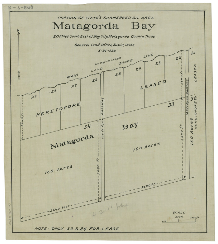
Portion of States Submerged Area in Matagorda Bay

Print $20.00
- Digital $50.00
Portion of States Submerged Area in Matagorda Bay
1922
Size 14.0 x 12.5 inches
Map/Doc 2955
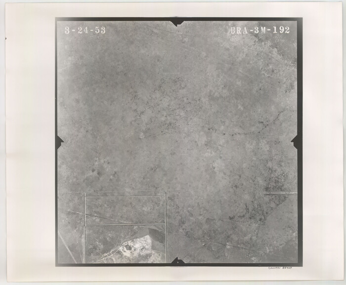
Flight Mission No. BRA-3M, Frame 192, Jefferson County

Print $20.00
- Digital $50.00
Flight Mission No. BRA-3M, Frame 192, Jefferson County
1953
Size 18.5 x 22.4 inches
Map/Doc 85407
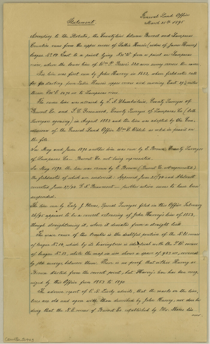
Burnet County Boundary File 9

Print $12.00
- Digital $50.00
Burnet County Boundary File 9
Size 14.1 x 8.6 inches
Map/Doc 50943
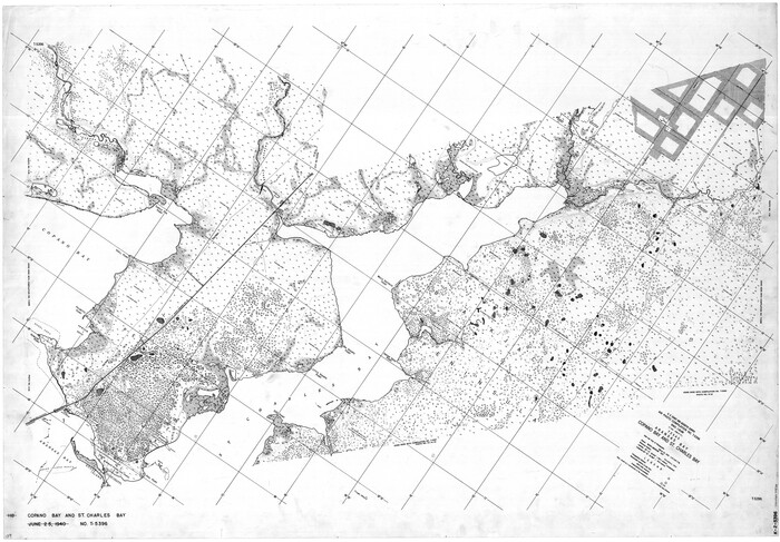
Texas, Aransas Bay, Copano Bay and St. Charles Bay

Print $40.00
- Digital $50.00
Texas, Aransas Bay, Copano Bay and St. Charles Bay
1934
Size 34.0 x 48.6 inches
Map/Doc 73434
Corpus Christi Bay, Texas
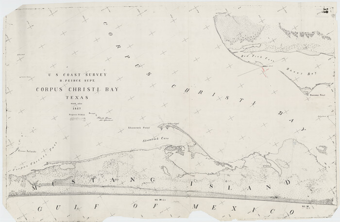

Print $40.00
- Digital $50.00
Corpus Christi Bay, Texas
1867
Size 31.9 x 48.8 inches
Map/Doc 73468
[Missouri, Kansas & Texas Line Map through Bastrop County]
![64030, [Missouri, Kansas & Texas Line Map through Bastrop County], General Map Collection](https://historictexasmaps.com/wmedia_w700/maps/64030.tif.jpg)
![64030, [Missouri, Kansas & Texas Line Map through Bastrop County], General Map Collection](https://historictexasmaps.com/wmedia_w700/maps/64030.tif.jpg)
Print $40.00
- Digital $50.00
[Missouri, Kansas & Texas Line Map through Bastrop County]
1916
Size 25.5 x 74.8 inches
Map/Doc 64030
Galveston County NRC Article 33.136 Sketch 35
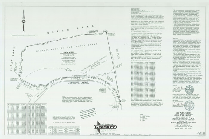

Print $42.00
- Digital $50.00
Galveston County NRC Article 33.136 Sketch 35
2005
Size 24.3 x 36.6 inches
Map/Doc 83406
Flight Mission No. BQY-4M, Frame 113, Harris County
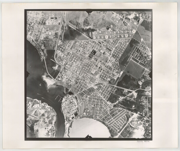

Print $20.00
- Digital $50.00
Flight Mission No. BQY-4M, Frame 113, Harris County
1953
Size 18.8 x 22.4 inches
Map/Doc 85280
Throckmorton Co.
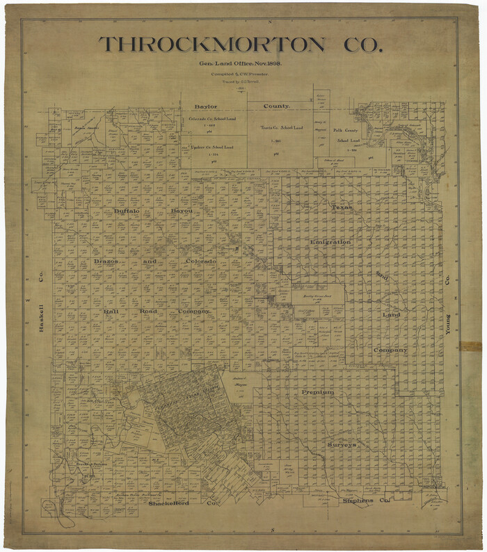

Print $20.00
- Digital $50.00
Throckmorton Co.
1898
Size 41.7 x 36.7 inches
Map/Doc 63064
Childress County Sketch File 1


Print $16.00
- Digital $50.00
Childress County Sketch File 1
1877
Size 12.8 x 8.3 inches
Map/Doc 18235
Harris County Sketch File 62


Print $14.00
- Digital $50.00
Harris County Sketch File 62
1930
Size 11.4 x 8.7 inches
Map/Doc 25486
Map of Burleson County


Print $20.00
- Digital $50.00
Map of Burleson County
1856
Size 22.0 x 31.5 inches
Map/Doc 3345
You may also like
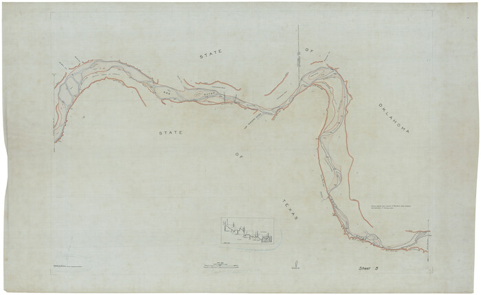
In the Supreme Court of the United States, The State of Oklahoma, Complainant vs. The State of Texas, Defendant, The United States of America, Intervener, Red River Valley, Texas and Oklahoma Between the 98th and 100th Meridians in Five Sheets, 1921

Print $40.00
- Digital $50.00
In the Supreme Court of the United States, The State of Oklahoma, Complainant vs. The State of Texas, Defendant, The United States of America, Intervener, Red River Valley, Texas and Oklahoma Between the 98th and 100th Meridians in Five Sheets, 1921
1921
Size 37.1 x 60.6 inches
Map/Doc 75278
Jefferson County Rolled Sketch 56

Print $20.00
- Digital $50.00
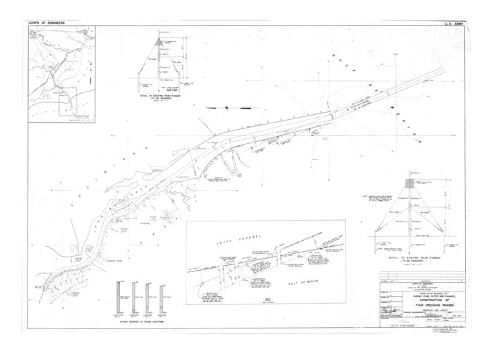
Jefferson County Rolled Sketch 56
1953
Size 32.1 x 43.8 inches
Map/Doc 6406
Flight Mission No. BRA-7M, Frame 78, Jefferson County

Print $20.00
- Digital $50.00
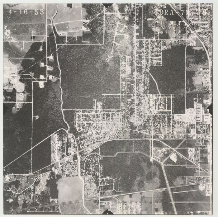
Flight Mission No. BRA-7M, Frame 78, Jefferson County
1953
Size 16.0 x 16.1 inches
Map/Doc 85500
Angelina County Working Sketch 52

Print $20.00
- Digital $50.00
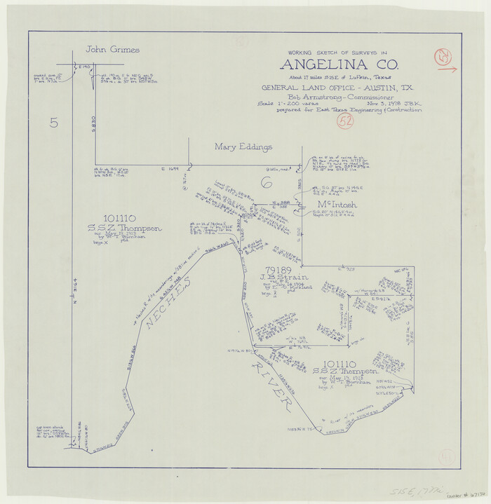
Angelina County Working Sketch 52
1978
Size 20.8 x 20.3 inches
Map/Doc 67136
Pecos County Sketch File 118


Print $28.00
- Digital $50.00
Pecos County Sketch File 118
1933
Size 5.0 x 7.5 inches
Map/Doc 34097
Terrell County Working Sketch 19
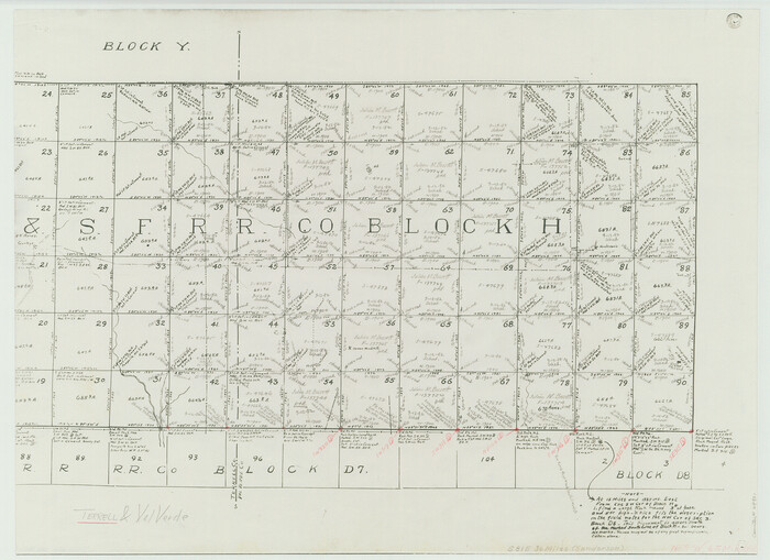

Print $20.00
- Digital $50.00
Terrell County Working Sketch 19
1932
Size 18.6 x 25.6 inches
Map/Doc 69801
Culberson County Working Sketch 44


Print $40.00
- Digital $50.00
Culberson County Working Sketch 44
1970
Size 53.4 x 36.4 inches
Map/Doc 68498
Map of Travis County
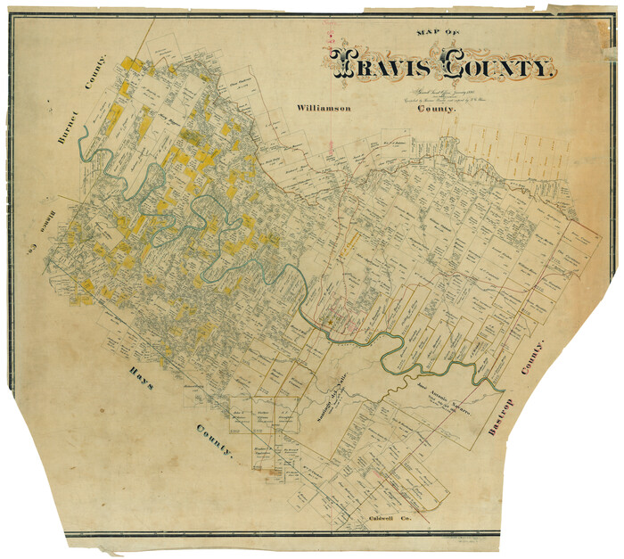

Print $40.00
- Digital $50.00
Map of Travis County
1895
Size 48.8 x 54.1 inches
Map/Doc 82083
Duval County Sketch File 49
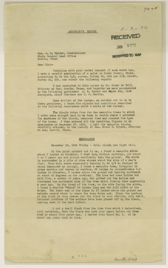

Print $6.00
- Digital $50.00
Duval County Sketch File 49
Size 14.5 x 9.1 inches
Map/Doc 21409
Leon County Sketch File 21
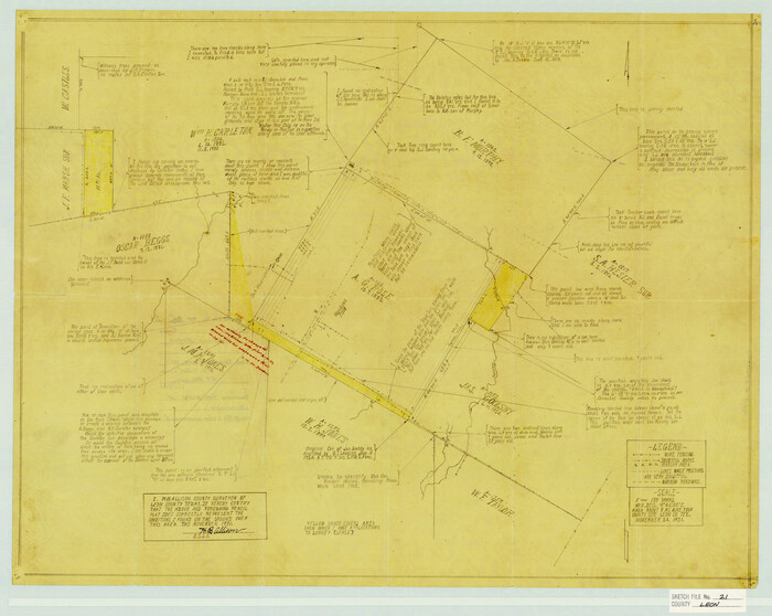

Print $20.00
- Digital $50.00
Leon County Sketch File 21
1931
Size 18.2 x 22.8 inches
Map/Doc 11991
Duval County Working Sketch 36


Print $20.00
- Digital $50.00
Duval County Working Sketch 36
1957
Size 36.1 x 26.0 inches
Map/Doc 68760
![95, [Surveys in the Bexar District along the Sabinal River and Rancheros Creek], General Map Collection](https://historictexasmaps.com/wmedia_w1800h1800/maps/95.tif.jpg)
