Lay's Eagle of the United States
2020 Texas General Land Office Holiday Ornament
Lay’s Eagle of the United States is the fifth ornament produced by the Texas General Land Office Save Texas History Program. It was inspired by Amos Lay’s Map of the United States, which features an elaborate cartouche comprised of several nationalistic elements, most notably the eagle carrying a banner in its beak with the United States’ motto, “E Pluribus Unum.” The eagle’s outstretched wings cover a globe marked “North America.”
-
Map/Doc
95952
-
Collection
Save Texas History Collectibles
-
Object Dates
2020 (Creation Date)
-
Height x Width
3.6 x 4.9 inches
9.1 x 12.5 cm
-
Comments
To view other ornaments available, please see our Publication and Collectibles.
Related maps
Lay's Map of the United States


Print $40.00
- Digital $50.00
Lay's Map of the United States
Size 55.0 x 61.7 inches
Map/Doc 95693
Part of: Save Texas History Collectibles
Connecting Texas: 300 Years of Trails, Rails & Roads - An Exhibit Guide
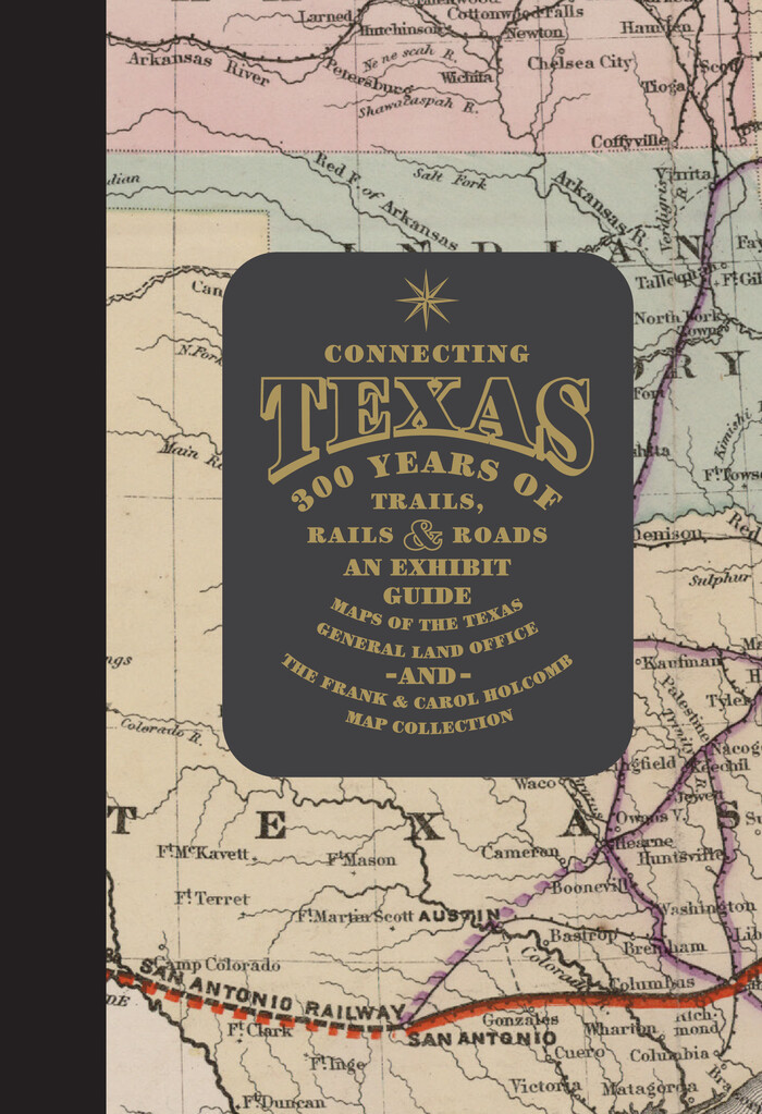

Connecting Texas: 300 Years of Trails, Rails & Roads - An Exhibit Guide
2018
Size 9.5 x 6.5 inches
Map/Doc 94454
Texas Takes Shape: A History in Maps from the General Land Office
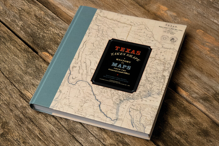

Price $48.71
Texas Takes Shape: A History in Maps from the General Land Office
Map/Doc 97432
"Pancho Villa Meets Genl. John J. Pershing"
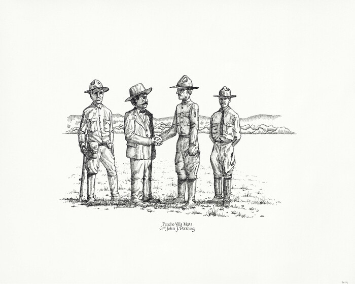

Print $20.00
"Pancho Villa Meets Genl. John J. Pershing"
Size 16.0 x 20.0 inches
Map/Doc 94146
2026 Save Texas History™ Map Calendar
.jpg)
.jpg)
Price $5.00
2026 Save Texas History™ Map Calendar
2025
Size 11.0 x 8.5 inches
Map/Doc 97491
Lay's Eagle of the United States


Price $20.00
Lay's Eagle of the United States
2020
Size 3.6 x 4.9 inches
Map/Doc 95952
You may also like
Coast Chart No. 212 - From Latitude 26° 33' to the Rio Grande Texas
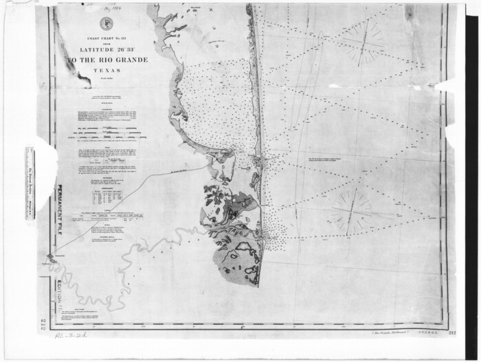

Print $20.00
- Digital $50.00
Coast Chart No. 212 - From Latitude 26° 33' to the Rio Grande Texas
1886
Size 18.3 x 24.3 inches
Map/Doc 72836
Angelina County Working Sketch 2


Print $20.00
- Digital $50.00
Angelina County Working Sketch 2
1899
Size 18.3 x 23.4 inches
Map/Doc 67082
Brewster County Rolled Sketch 107
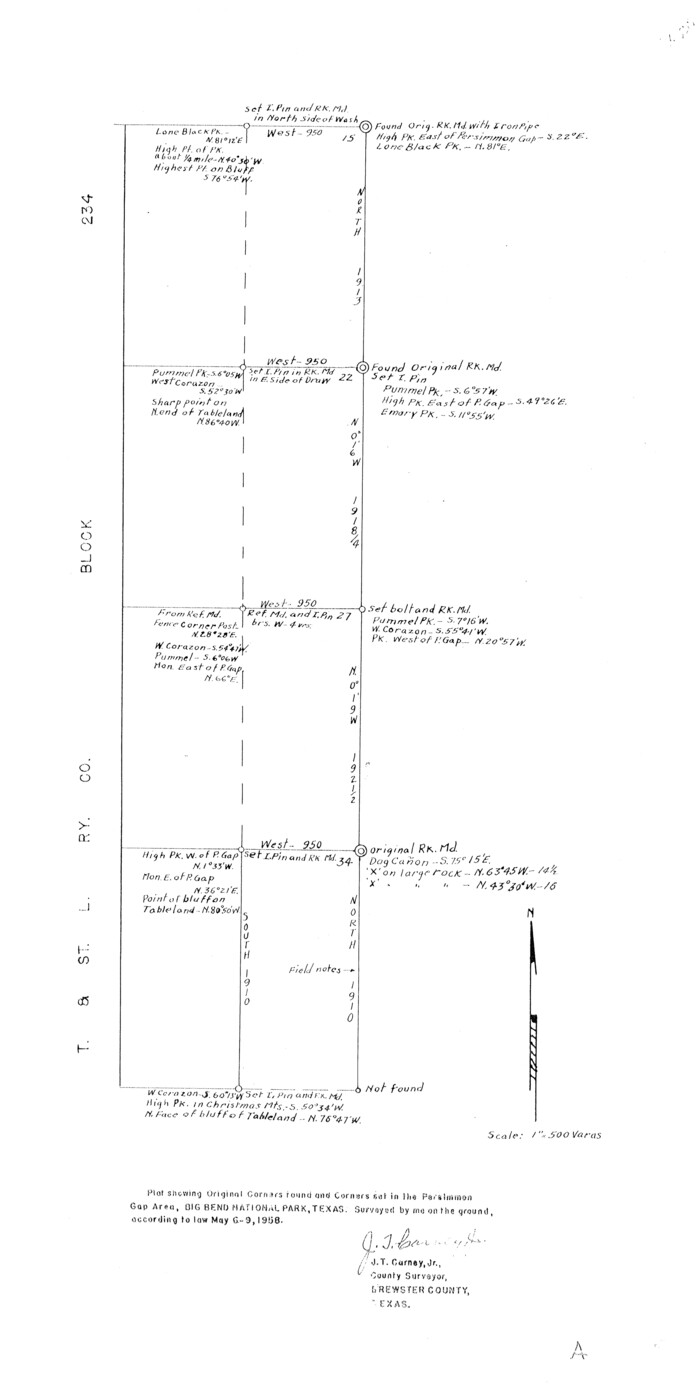

Print $20.00
- Digital $50.00
Brewster County Rolled Sketch 107
Size 22.2 x 11.2 inches
Map/Doc 5259
Loving County Working Sketch 11


Print $40.00
- Digital $50.00
Loving County Working Sketch 11
1957
Size 21.2 x 120.7 inches
Map/Doc 70643
Gregg County Sketch File 8
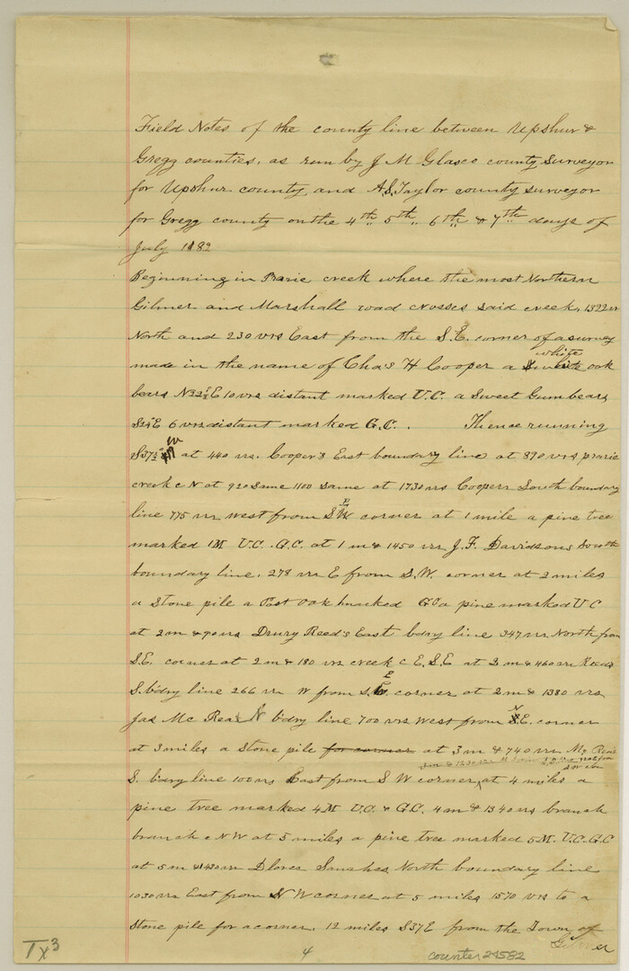

Print $28.00
- Digital $50.00
Gregg County Sketch File 8
1931
Size 12.9 x 8.3 inches
Map/Doc 24582
Map of Anderson County
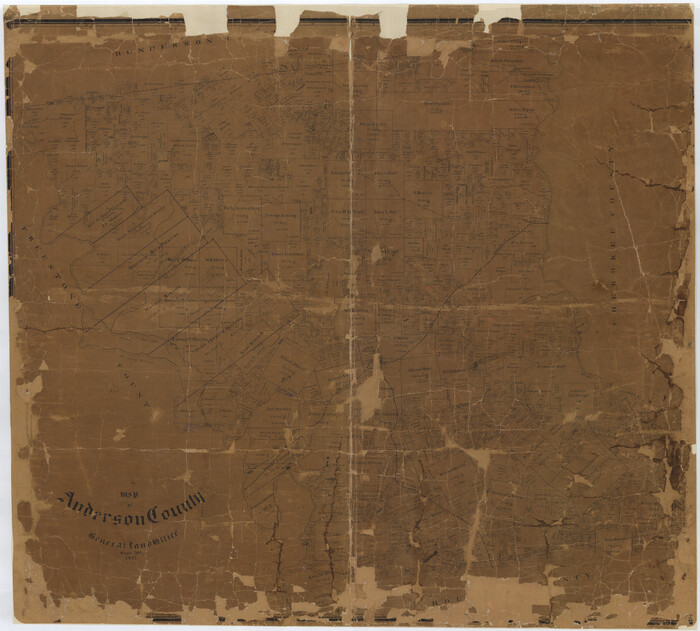

Print $20.00
- Digital $50.00
Map of Anderson County
1895
Size 40.9 x 45.4 inches
Map/Doc 4784
Blanco County Sketch File 41
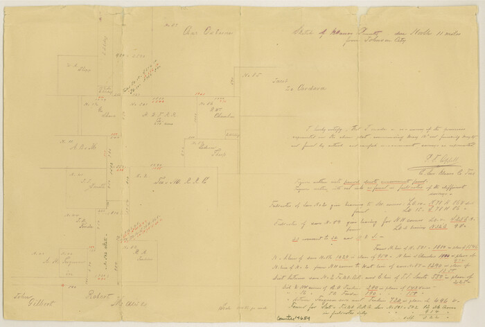

Print $6.00
- Digital $50.00
Blanco County Sketch File 41
Size 9.6 x 14.3 inches
Map/Doc 14654
Right of Way and Track Map, the Missouri, Kansas and Texas Ry. of Texas operated by the Missouri, Kansas and Texas Ry. of Texas, San Antonio Division
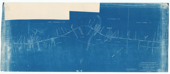

Print $40.00
- Digital $50.00
Right of Way and Track Map, the Missouri, Kansas and Texas Ry. of Texas operated by the Missouri, Kansas and Texas Ry. of Texas, San Antonio Division
1918
Size 25.6 x 58.7 inches
Map/Doc 64581
Flight Mission No. DQN-1K, Frame 138, Calhoun County

Print $20.00
- Digital $50.00
Flight Mission No. DQN-1K, Frame 138, Calhoun County
1953
Size 18.6 x 22.3 inches
Map/Doc 84201
San Patricio County Rolled Sketch 17A


Print $20.00
- Digital $50.00
San Patricio County Rolled Sketch 17A
1917
Size 15.7 x 23.8 inches
Map/Doc 7575
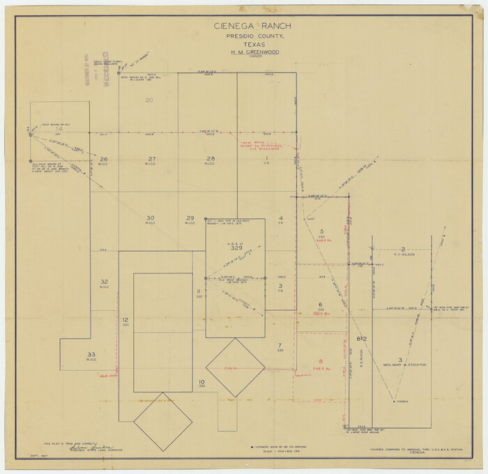
Cienega Ranch

Print $20.00
- Digital $50.00
Cienega Ranch
1947
Size 17.5 x 17.1 inches
Map/Doc 92287

