Connecting Texas: 300 Years of Trails, Rails & Roads - An Exhibit Guide
Maps of the Texas General Land Office and the Frank & Carol Holcomb Map Collection
"Connecting Texas: 300 Years of Trails, Rails, & Roads" examines how explorers, Indigenous peoples, armies, immigrants, and early settlers moved in, around, and across Texas over the last three hundred years. This exhibit guide features over forty full-color historic maps curated from the archival collection of the Texas General Land Office and other private collections.
-
Map/Doc
94454
-
Collection
Save Texas History Collectibles
-
Object Dates
2/2018 (Creation Date)
-
People and Organizations
Texas General Land Office (Publisher)
Mark Lambert (Curator)
James Harkins (Curator)
Brian A. Stauffer (Curator)
Patrick Walsh (Curator)
Brandice Nelson (Curator)
Andrea Morgan (Graphic Designer)
Lance McIlhany (Graphic Designer)
-
Subjects
Bound Volume
-
Height x Width
9.5 x 6.5 inches
24.1 x 16.5 cm
-
Medium
paper, bound volume
-
Comments
Exhibit guide for a 2018 exhibit at the Witte Museum in San Antonio. Additional lenders include Bill Price of Houston and Ted & Sharon Lusher of Austin.
Part of: Save Texas History Collectibles
The Gnome of Kimble County
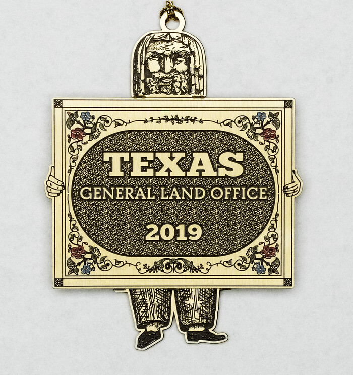

Price $20.00
The Gnome of Kimble County
2019
Size 3.5 x 3.0 inches
Map/Doc 95706
The Yellow Rose Compass


Price $20.00
The Yellow Rose Compass
2025
Size 3.5 x 2.8 inches
Map/Doc 97508
Texas Takes Shape: A History in Maps from the General Land Office
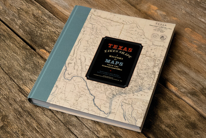

Price $48.71
Texas Takes Shape: A History in Maps from the General Land Office
Map/Doc 97432
Energy Map of Texas Ornament
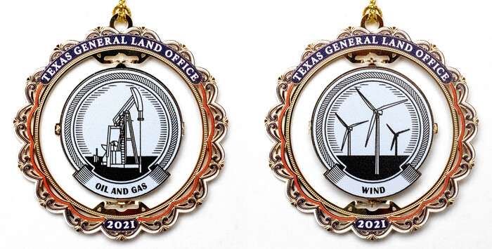

Price $20.00
Energy Map of Texas Ornament
2021
Size 2.5 x 2.5 inches
Map/Doc 96574
Connecting Texas: 300 Years of Trails, Rails & Roads - An Exhibit Guide
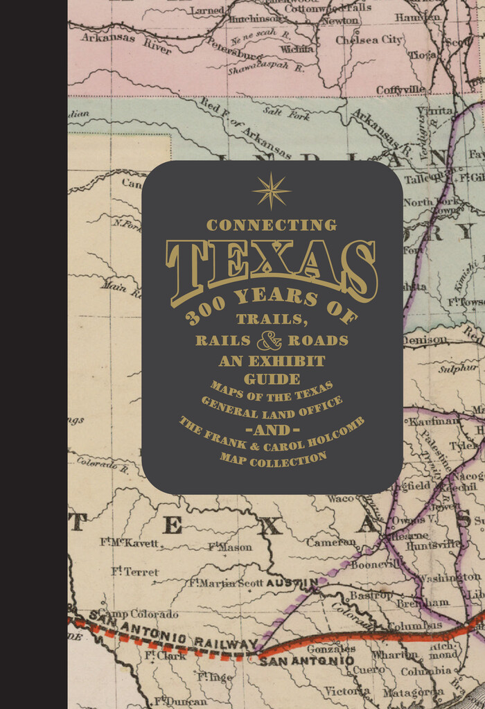

Connecting Texas: 300 Years of Trails, Rails & Roads - An Exhibit Guide
2018
Size 9.5 x 6.5 inches
Map/Doc 94454
You may also like
Montague County Sketch File 25


Print $8.00
- Digital $50.00
Montague County Sketch File 25
1942
Size 11.2 x 8.8 inches
Map/Doc 31756
San Saba County Sketch File 5


Print $4.00
- Digital $50.00
San Saba County Sketch File 5
Size 12.8 x 8.0 inches
Map/Doc 36412
Flight Mission No. CRC-1R, Frame 94, Chambers County


Print $20.00
- Digital $50.00
Flight Mission No. CRC-1R, Frame 94, Chambers County
1956
Size 18.8 x 22.5 inches
Map/Doc 84709
Wise County Working Sketch 29


Print $20.00
- Digital $50.00
Wise County Working Sketch 29
1997
Size 22.3 x 26.8 inches
Map/Doc 72643
Clay County Working Sketch 1
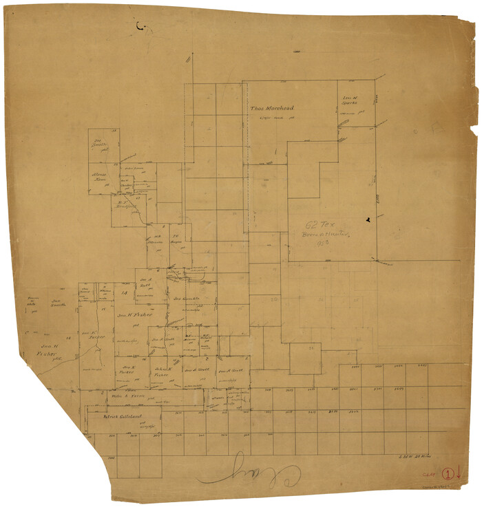

Print $20.00
- Digital $50.00
Clay County Working Sketch 1
Size 30.7 x 29.3 inches
Map/Doc 68024
Comanche County Sketch File 17

Print $14.00
- Digital $50.00
Comanche County Sketch File 17
Size 8.5 x 8.2 inches
Map/Doc 19086
Hood County Working Sketch 1
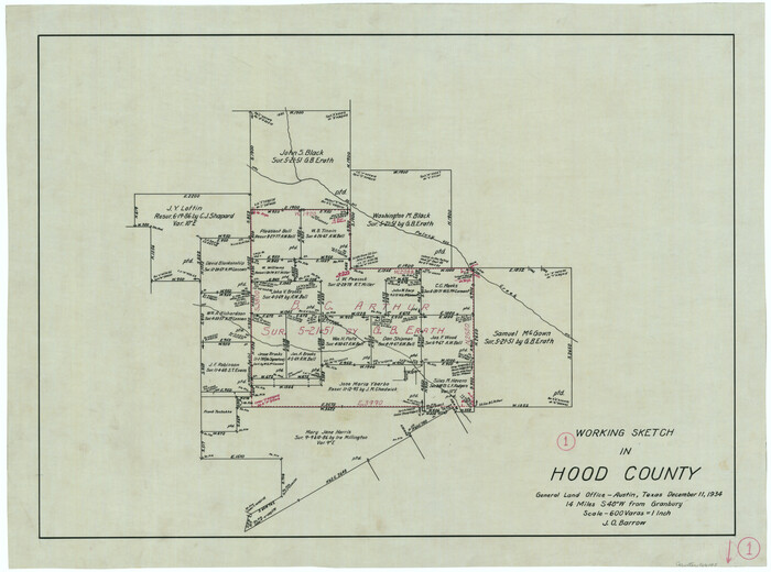

Print $20.00
- Digital $50.00
Hood County Working Sketch 1
1934
Size 18.2 x 24.5 inches
Map/Doc 66195
Waller County Boundary File 1
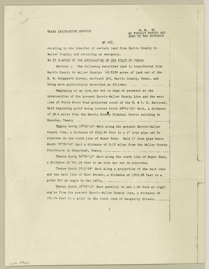

Print $8.00
- Digital $50.00
Waller County Boundary File 1
Size 11.4 x 8.9 inches
Map/Doc 59663
Hunt County Sketch File 16a


Print $4.00
- Digital $50.00
Hunt County Sketch File 16a
Size 4.6 x 8.1 inches
Map/Doc 27109
McMullen County Working Sketch 36


Print $20.00
- Digital $50.00
McMullen County Working Sketch 36
1963
Size 40.1 x 41.5 inches
Map/Doc 70737
United States including territories and insular possessions showing the extent of public surveys, national parks, national forests, indian reservations, national wildlife refuges, and reclamation projects
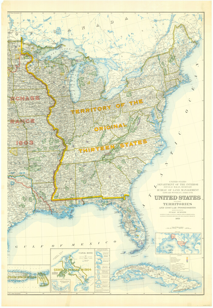

Print $40.00
- Digital $50.00
United States including territories and insular possessions showing the extent of public surveys, national parks, national forests, indian reservations, national wildlife refuges, and reclamation projects
1953
Size 64.3 x 44.5 inches
Map/Doc 65796
[Bastrop District]
![83005, [Bastrop District], General Map Collection](https://historictexasmaps.com/wmedia_w700/maps/83005.tif.jpg)
![83005, [Bastrop District], General Map Collection](https://historictexasmaps.com/wmedia_w700/maps/83005.tif.jpg)
Print $40.00
- Digital $50.00
[Bastrop District]
1895
Size 37.4 x 51.9 inches
Map/Doc 83005

