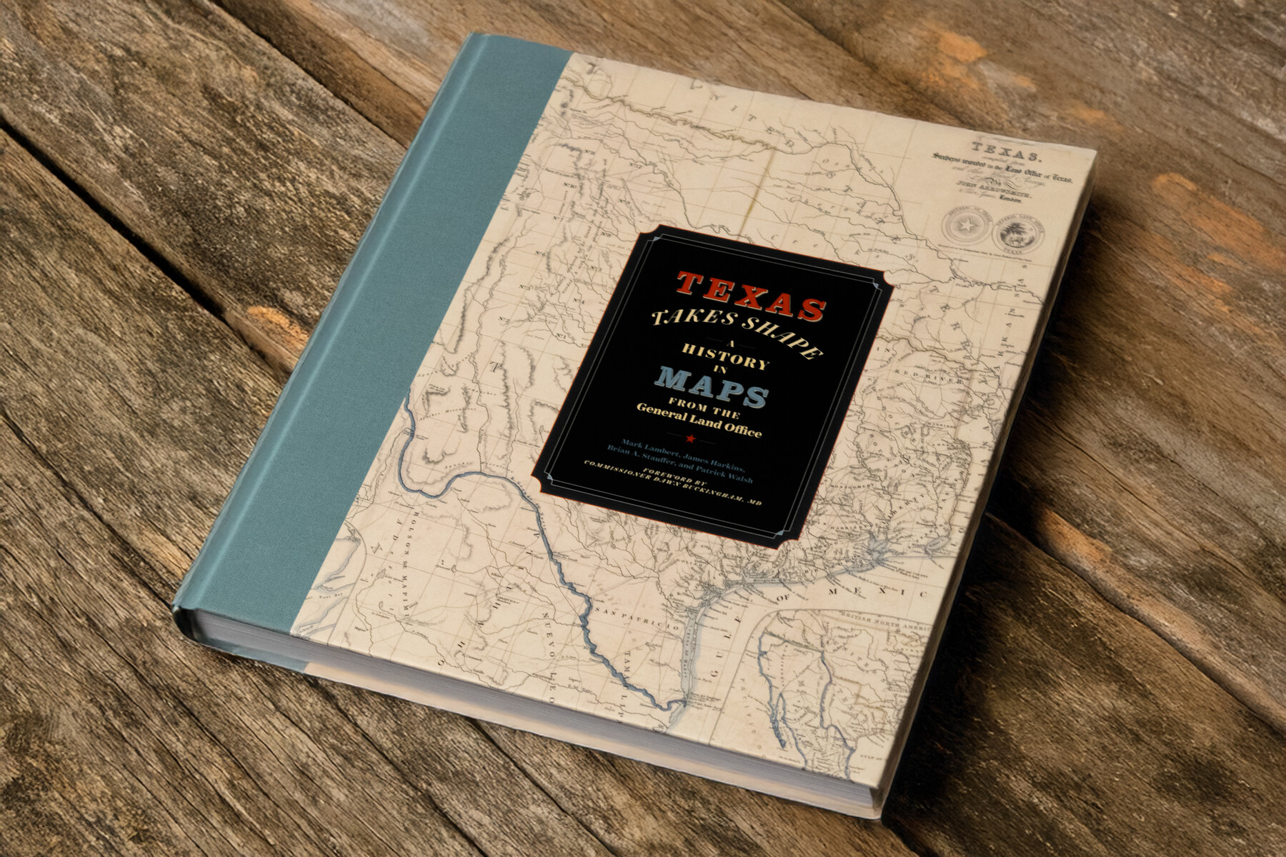
Texas Takes Shape: A History in Maps from the General Land Office
-
Map/Doc
97432
-
Collection
Save Texas History Collectibles
-
Object Dates
2025 (Publication Date)
-
People and Organizations
Dawn Buckingham, M.D. (GLO Commissioner)
Mark Lambert (Author)
James Harkins (Author)
Brian A. Stauffer (Author)
Patrick Walsh (Author)
University of Texas Press (Publisher)
-
Subjects
Bound Volume
-
Comments
Price includes tax.
Orders placed for shipping will include an additional $8.93 in shipping, handling & tax upon checkout.
Part of: Save Texas History Collectibles
"Pancho Villa Meets Genl. John J. Pershing"

Print $20.00
"Pancho Villa Meets Genl. John J. Pershing"
Size 16.0 x 20.0 inches
Map/Doc 94146
Bien & Sterner’s New Rail Road Map of the United States

Price $20.00
Bien & Sterner’s New Rail Road Map of the United States
2022
Size 3.6 x 4.9 inches
Map/Doc 97020


Catalogue of the Spanish Collection of the Texas General Land Office

Price $15.00
Catalogue of the Spanish Collection of the Texas General Land Office
2003
Size 10.8 x 8.5 inches
Map/Doc 83386
New Guide to Spanish and Mexican Land Grants in South Texas

Price $15.00
New Guide to Spanish and Mexican Land Grants in South Texas
2009
Size 11.0 x 8.5 inches
Map/Doc 83388
Catalogue of the Spanish Collection of the Texas General Land Office

Digital $15.00
Catalogue of the Spanish Collection of the Texas General Land Office
2003
Size 10.8 x 8.5 inches
Map/Doc 83387
Commemorative Poster: "Onward was the cry!" the 175th Anniversary of the Texas Revolution

Price $5.00
Commemorative Poster: "Onward was the cry!" the 175th Anniversary of the Texas Revolution
2011
Size 20.0 x 16.0 inches
Map/Doc 97132
"Capture of Cynthia Ann Parker"

Print $20.00
"Capture of Cynthia Ann Parker"
Size 20.0 x 16.0 inches
Map/Doc 94150
The Gnome of Kimble County

Price $20.00
The Gnome of Kimble County
2019
Size 3.5 x 3.0 inches
Map/Doc 95706
The Star of Llano County

Price $20.00
The Star of Llano County
2023
Size 3.3 x 2.8 inches
Map/Doc 97175
Energy Map of Texas Ornament

Price $20.00
Energy Map of Texas Ornament
2021
Size 2.5 x 2.5 inches
Map/Doc 96574
You may also like
Flight Mission No. BRA-7M, Frame 208, Jefferson County

Print $20.00
- Digital $50.00
Flight Mission No. BRA-7M, Frame 208, Jefferson County
1953
Size 18.5 x 22.3 inches
Map/Doc 85576
Palo Pinto County Sketch File 7

Print $4.00
- Digital $50.00
Palo Pinto County Sketch File 7
1870
Size 13.0 x 8.2 inches
Map/Doc 33398
Winkler County Rolled Sketch 13

Print $40.00
- Digital $50.00
Winkler County Rolled Sketch 13
1902
Size 39.5 x 48.7 inches
Map/Doc 10153
Brewster County Rolled Sketch 114

Print $20.00
- Digital $50.00
Brewster County Rolled Sketch 114
1964
Size 23.8 x 18.9 inches
Map/Doc 5268
Pecos County Working Sketch 56

Print $40.00
- Digital $50.00
Pecos County Working Sketch 56
1949
Size 29.9 x 57.4 inches
Map/Doc 71528
[Block B&, and Adjacent Leagues]
![91432, [Block B&, and Adjacent Leagues], Twichell Survey Records](https://historictexasmaps.com/wmedia_w700/maps/91432-1.tif.jpg)
Print $20.00
- Digital $50.00
[Block B&, and Adjacent Leagues]
Size 30.7 x 29.6 inches
Map/Doc 91432
McMullen County Rolled Sketch 8

Print $20.00
- Digital $50.00
McMullen County Rolled Sketch 8
Size 26.0 x 26.3 inches
Map/Doc 6725
Angelina County Rolled Sketch 3

Print $20.00
- Digital $50.00
Angelina County Rolled Sketch 3
Size 25.9 x 42.5 inches
Map/Doc 77186

[Township 3 North, Block 34]
![91227, [Township 3 North, Block 34], Twichell Survey Records](https://historictexasmaps.com/wmedia_w700/maps/91227-1.tif.jpg)
Print $2.00
- Digital $50.00
[Township 3 North, Block 34]
Size 9.2 x 11.7 inches
Map/Doc 91227
Visitors' Map of Galveston also showing County Shell Road to Houston

Print $20.00
- Digital $50.00
Visitors' Map of Galveston also showing County Shell Road to Houston
Size 19.6 x 23.9 inches
Map/Doc 95319
Lee County Working Sketch 3

Print $20.00
- Digital $50.00
Lee County Working Sketch 3
1968
Size 37.9 x 37.3 inches
Map/Doc 70382