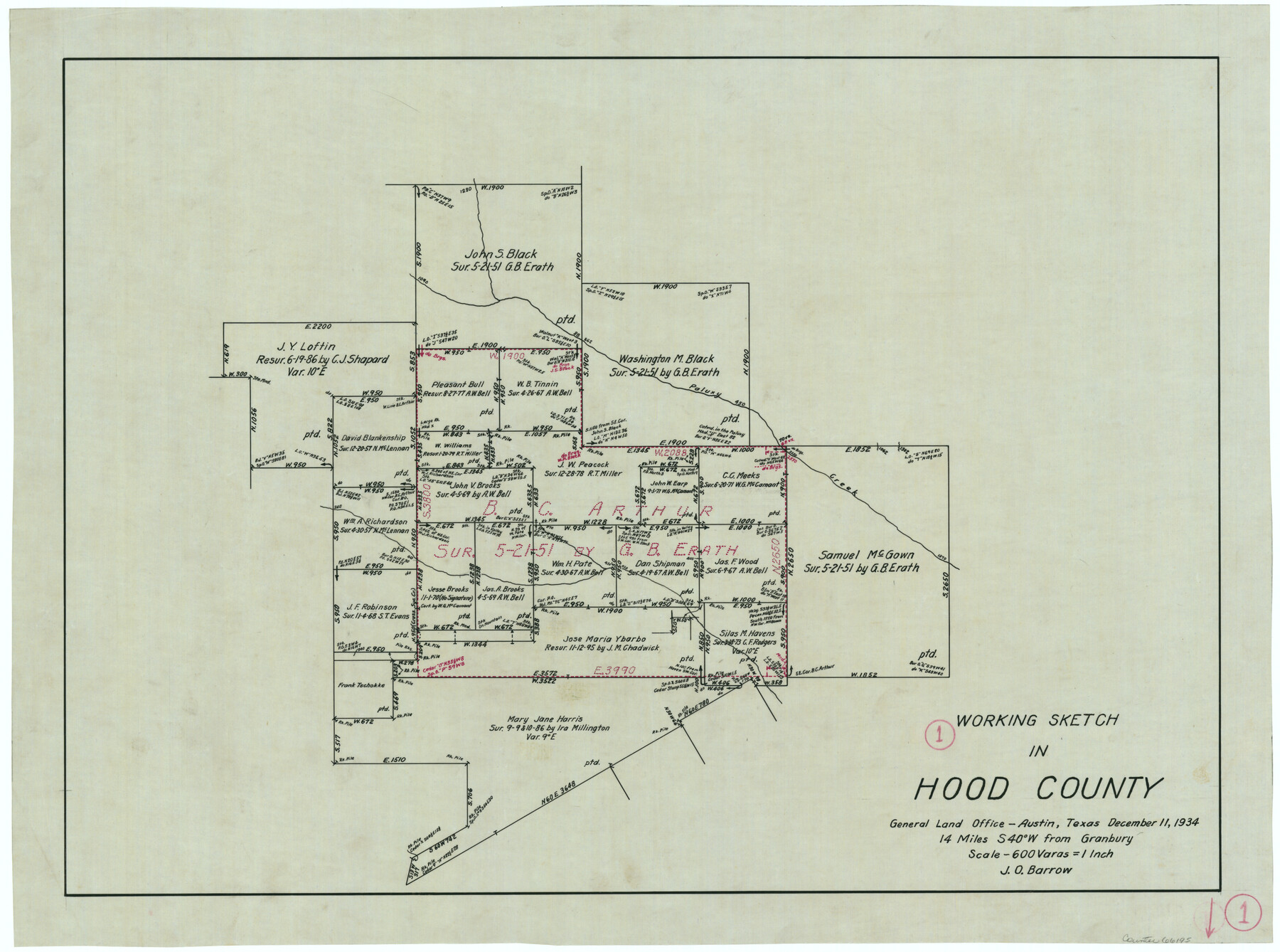
Hood County Working Sketch 1
-
Map/Doc
66195
-
Collection
General Map Collection
-
Object Dates
12/11/1934 (Creation Date)
-
People and Organizations
J.O. Barrow (Draftsman)
-
Counties
Hood
-
Subjects
Surveying Working Sketch
-
Height x Width
18.2 x 24.5 inches
46.2 x 62.2 cm
-
Scale
1" = 600 varas
Part of: General Map Collection
Fisher County Sketch File 19a

Print $42.00
- Digital $50.00
Fisher County Sketch File 19a
1898
Size 14.1 x 8.9 inches
Map/Doc 22595
Flight Mission No. DCL-5C, Frame 65, Kenedy County

Print $20.00
- Digital $50.00
Flight Mission No. DCL-5C, Frame 65, Kenedy County
1943
Size 17.9 x 22.4 inches
Map/Doc 85848
Kendall County Working Sketch 2

Print $20.00
- Digital $50.00
Kendall County Working Sketch 2
1941
Size 28.6 x 21.1 inches
Map/Doc 66674
Flight Mission No. BRA-7M, Frame 194, Jefferson County

Print $20.00
- Digital $50.00
Flight Mission No. BRA-7M, Frame 194, Jefferson County
1953
Size 18.5 x 22.3 inches
Map/Doc 85562
Galveston County Working Sketch 9

Print $20.00
- Digital $50.00
Galveston County Working Sketch 9
1948
Size 31.9 x 25.8 inches
Map/Doc 69346
Sketch F Showing the Progress of the Survey in Section VI With a General Reconnoissance of the Western Coast of Florida

Print $20.00
- Digital $50.00
Sketch F Showing the Progress of the Survey in Section VI With a General Reconnoissance of the Western Coast of Florida
1848
Size 25.5 x 19.2 inches
Map/Doc 97216
Jefferson County Rolled Sketch 38

Print $20.00
- Digital $50.00
Jefferson County Rolled Sketch 38
1957
Size 33.8 x 31.5 inches
Map/Doc 6397
Polk County Working Sketch 22

Print $40.00
- Digital $50.00
Polk County Working Sketch 22
1957
Size 43.0 x 64.6 inches
Map/Doc 71637
Brazos County Working Sketch Graphic Index

Print $20.00
- Digital $50.00
Brazos County Working Sketch Graphic Index
1922
Size 46.7 x 30.9 inches
Map/Doc 76472
Nueces County Rolled Sketch 3

Print $20.00
- Digital $50.00
Nueces County Rolled Sketch 3
1907
Size 17.3 x 34.2 inches
Map/Doc 6866
Flight Mission No. CRC-4R, Frame 81, Chambers County

Print $20.00
- Digital $50.00
Flight Mission No. CRC-4R, Frame 81, Chambers County
1956
Size 18.7 x 22.5 inches
Map/Doc 84885
[Surveys in the Bexar District along the Sabinal and Frio Rivers]
![3167, [Surveys in the Bexar District along the Sabinal and Frio Rivers], General Map Collection](https://historictexasmaps.com/wmedia_w700/maps/3167.tif.jpg)
Print $20.00
- Digital $50.00
[Surveys in the Bexar District along the Sabinal and Frio Rivers]
1846
Size 16.8 x 19.6 inches
Map/Doc 3167
You may also like
Val Verde County Working Sketch 110

Print $20.00
- Digital $50.00
Val Verde County Working Sketch 110
1990
Size 46.3 x 42.9 inches
Map/Doc 72245
Presidio County Sketch File 52

Print $10.00
- Digital $50.00
Presidio County Sketch File 52
1921
Size 11.5 x 8.8 inches
Map/Doc 34605
Liberty County Sketch File 24

Print $6.00
- Digital $50.00
Liberty County Sketch File 24
Size 10.2 x 7.9 inches
Map/Doc 29936

Dawson County Sketch File A

Print $28.00
- Digital $50.00
Dawson County Sketch File A
1903
Size 11.4 x 8.8 inches
Map/Doc 20461
Young County Sketch File 19

Print $34.00
- Digital $50.00
Young County Sketch File 19
Size 14.5 x 8.9 inches
Map/Doc 40887
Pecos County Working Sketch 64

Print $20.00
- Digital $50.00
Pecos County Working Sketch 64
1955
Size 27.7 x 43.4 inches
Map/Doc 71536
Kinney County Working Sketch 5

Print $20.00
- Digital $50.00
Kinney County Working Sketch 5
1910
Size 20.5 x 24.2 inches
Map/Doc 70187
Flight Mission No. BQR-4K, Frame 67, Brazoria County

Print $20.00
- Digital $50.00
Flight Mission No. BQR-4K, Frame 67, Brazoria County
1952
Size 18.7 x 22.5 inches
Map/Doc 84000
Map of the Galveston, La Porte & Houston Ry. and its Connecting Lines

Print $20.00
- Digital $50.00
Map of the Galveston, La Porte & Houston Ry. and its Connecting Lines
1895
Size 42.6 x 32.0 inches
Map/Doc 64772
Port Mansfield

Print $20.00
- Digital $50.00
Port Mansfield
1968
Size 37.1 x 44.2 inches
Map/Doc 3043
Flight Mission No. DCL-4C, Frame 68, Kenedy County

Print $20.00
- Digital $50.00
Flight Mission No. DCL-4C, Frame 68, Kenedy County
1943
Size 18.7 x 22.3 inches
Map/Doc 85813