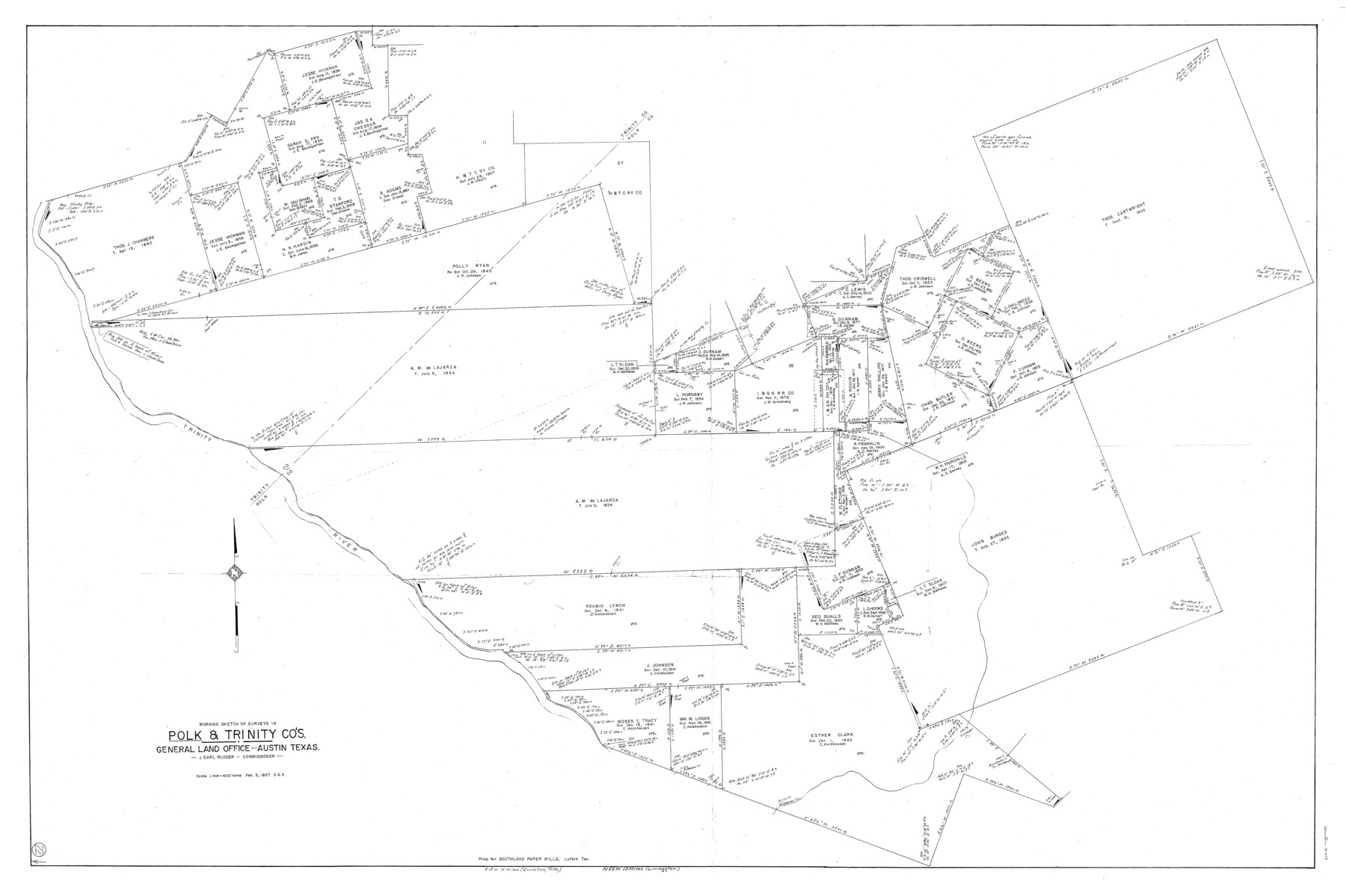
Polk County Working Sketch 22
- 
                          Map/Doc71637
- 
                            CollectionGeneral Map Collection
- 
                            Object Dates2/5/1957 (Creation Date)
- 
                            People and OrganizationsOtto G. Kurio (Draftsman)
- 
                            CountiesPolk Trinity
- 
                            SubjectsSurveying Working Sketch
- 
                            Height x Width43.0 x 64.6 inches109.2 x 164.1 cm
- 
                            Scale1" = 400 varas
Part of: General Map Collection
            Lee County Boundary File 2


                                            Print $25.00                    
                                             -                         Digital $50.00                                    
                Lee County Boundary File 2
Size 14.2 x 8.6 inches
                                Map/Doc 56269
            
            Grimes County Working Sketch 11


                                            Print $20.00                    
                                             -                         Digital $50.00                                    
                Grimes County Working Sketch 11
1981
Size 22.7 x 22.6 inches
                                Map/Doc 63302
            
            Kleberg County Aerial Photograph Index Sheet 1


                                            Print $20.00                    
                                             -                         Digital $50.00                                    
                Kleberg County Aerial Photograph Index Sheet 1
1956
Size 19.6 x 23.6 inches
                                Map/Doc 83718
            
            Harrison County Working Sketch 19


                                            Print $20.00                    
                                             -                         Digital $50.00                                    
                Harrison County Working Sketch 19
1978
Size 31.8 x 33.1 inches
                                Map/Doc 66039
            
            Coke County Rolled Sketch 8


                                            Print $20.00                    
                                             -                         Digital $50.00                                    
                Coke County Rolled Sketch 8
Size 26.5 x 34.8 inches
                                Map/Doc 5507
            
            Travis County Appraisal District Plat Map 2_0018


                                            Print $20.00                    
                                             -                         Digital $50.00                                    
                Travis County Appraisal District Plat Map 2_0018
Size 21.6 x 26.5 inches
                                Map/Doc 94208
            
            Flight Mission No. BQR-7K, Frame 32, Brazoria County


                                            Print $20.00                    
                                             -                         Digital $50.00                                    
                Flight Mission No. BQR-7K, Frame 32, Brazoria County
1952
Size 18.6 x 22.2 inches
                                Map/Doc 84030
            
            Clay County Working Sketch 2


                                            Print $20.00                    
                                             -                         Digital $50.00                                    
                Clay County Working Sketch 2
1907
Size 26.5 x 16.2 inches
                                Map/Doc 68025
            
            McMullen County Working Sketch 49


                                            Print $20.00                    
                                             -                         Digital $50.00                                    
                McMullen County Working Sketch 49
1983
Size 12.8 x 14.6 inches
                                Map/Doc 70750
            
            Flight Mission No. CUG-1P, Frame 82, Kleberg County


                                            Print $20.00                    
                                             -                         Digital $50.00                                    
                Flight Mission No. CUG-1P, Frame 82, Kleberg County
1956
Size 18.6 x 22.3 inches
                                Map/Doc 86147
            
            Houston Ship Channel, Alexander Island to Carpenter Bayou


                                            Print $40.00                    
                                             -                         Digital $50.00                                    
                Houston Ship Channel, Alexander Island to Carpenter Bayou
1989
Size 35.5 x 49.4 inches
                                Map/Doc 69916
            You may also like
            Matagorda County NRC Article 33.136 Sketch 1


                                            Print $21.00                    
                                             -                         Digital $50.00                                    
                Matagorda County NRC Article 33.136 Sketch 1
2004
Size 17.6 x 23.1 inches
                                Map/Doc 82920
            
            Intracoastal Waterway - Laguna Madre - Rincon de San Jose to Chubby Island, Texas


                                            Print $20.00                    
                                             -                         Digital $50.00                                    
                Intracoastal Waterway - Laguna Madre - Rincon de San Jose to Chubby Island, Texas
1975
Size 15.6 x 37.0 inches
                                Map/Doc 73517
            
            [Missouri, Kansas & Texas Line Map through Bastrop County]
            
                                    ![64030, [Missouri, Kansas & Texas Line Map through Bastrop County], General Map Collection](https://historictexasmaps.com/wmedia_w700/maps/64030.tif.jpg) 


    ![64030, [Missouri, Kansas & Texas Line Map through Bastrop County], General Map Collection](https://historictexasmaps.com/wmedia_w700/maps/64030.tif.jpg) 
                                
            
                                            Print $40.00                    
                                             -                         Digital $50.00                                    
                [Missouri, Kansas & Texas Line Map through Bastrop County]
1916
Size 25.5 x 74.8 inches
                                Map/Doc 64030
            
            North Part of Brewster Co.


                                            Print $40.00                    
                                             -                         Digital $50.00                                    
                North Part of Brewster Co.
1914
Size 49.3 x 40.5 inches
                                Map/Doc 89724
            
            Rains County Working Sketch 7


                                            Print $20.00                    
                                             -                         Digital $50.00                                    
                Rains County Working Sketch 7
1964
Size 32.6 x 38.6 inches
                                Map/Doc 71833
            
            John H. Wills' Official Map of Amarillo, Potter Counter, Texas


                                            Print $40.00                    
                                             -                         Digital $50.00                                    
                John H. Wills' Official Map of Amarillo, Potter Counter, Texas
1909
Size 48.9 x 45.4 inches
                                Map/Doc 93118
            
            Howard County Sketch File 10


                                            Print $20.00                    
                                             -                         Digital $50.00                                    
                Howard County Sketch File 10
Size 22.5 x 22.0 inches
                                Map/Doc 11798
            
            [W. T. Brewer: M. McDonald, Ralph Gilpin, A. Vanhooser, John Baker, John R. Taylor Surveys]
            
                                    ![90964, [W. T. Brewer: M. McDonald, Ralph Gilpin, A. Vanhooser, John Baker, John R. Taylor Surveys], Twichell Survey Records](https://historictexasmaps.com/wmedia_w700/maps/90964-1.tif.jpg) 


    ![90964, [W. T. Brewer: M. McDonald, Ralph Gilpin, A. Vanhooser, John Baker, John R. Taylor Surveys], Twichell Survey Records](https://historictexasmaps.com/wmedia_w700/maps/90964-1.tif.jpg) 
                                
            
                                            Print $2.00                    
                                             -                         Digital $50.00                                    
                [W. T. Brewer: M. McDonald, Ralph Gilpin, A. Vanhooser, John Baker, John R. Taylor Surveys]
Size 8.8 x 11.3 inches
                                Map/Doc 90964
            
            Nueces County NRC Article 33.136 Sketch 7


                                            Print $82.00                    
                                             -                         Digital $50.00                                    
                Nueces County NRC Article 33.136 Sketch 7
2004
Size 32.7 x 47.0 inches
                                Map/Doc 81932
            
            Flight Mission No. DCL-5C, Frame 30, Kenedy County


                                            Print $20.00                    
                                             -                         Digital $50.00                                    
                Flight Mission No. DCL-5C, Frame 30, Kenedy County
1943
Size 18.6 x 22.3 inches
                                Map/Doc 85842


                                