Orange County Rolled Sketch 22
Sketch of a survey made by J.G. Foyle, Licensed State Land Surveyor, to locate the Homer E. Stephenson and W.E. McCorquodale S.F. 15116, Orange County, Texas
-
Map/Doc
9647
-
Collection
General Map Collection
-
Object Dates
9/1950 (Creation Date)
9/30/1950 (File Date)
-
People and Organizations
J.G. Foyle (Surveyor/Engineer)
-
Counties
Orange
-
Subjects
Surveying Rolled Sketch
-
Height x Width
31.2 x 58.0 inches
79.3 x 147.3 cm
-
Scale
1" = 600 feet
Part of: General Map Collection
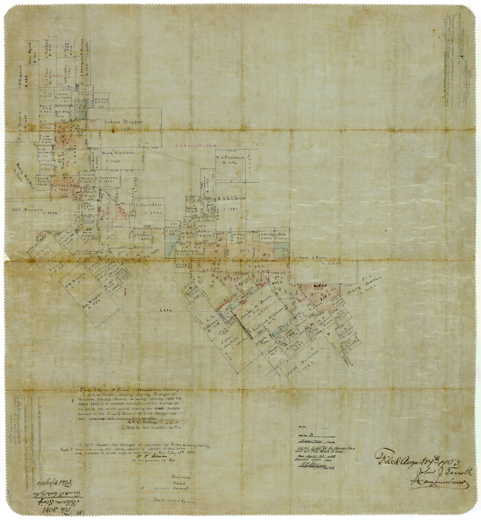
Hamilton County Rolled Sketch 9

Print $20.00
- Digital $50.00
Hamilton County Rolled Sketch 9
1903
Size 32.8 x 30.4 inches
Map/Doc 9098
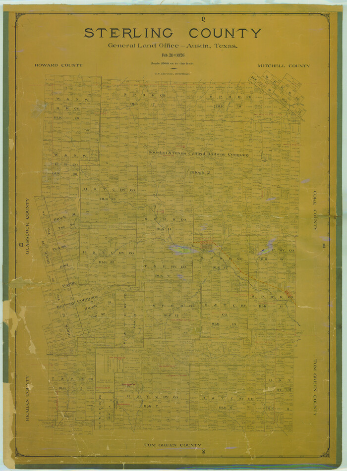
Sterling County

Print $20.00
- Digital $50.00
Sterling County
1926
Size 47.8 x 35.2 inches
Map/Doc 16820
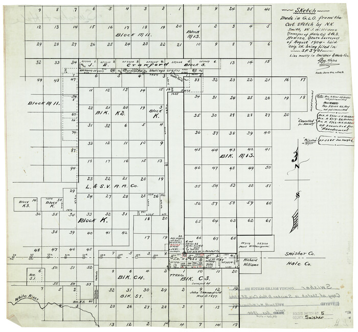
Swisher County Rolled Sketch 5

Print $20.00
- Digital $50.00
Swisher County Rolled Sketch 5
1904
Size 18.1 x 19.4 inches
Map/Doc 7906
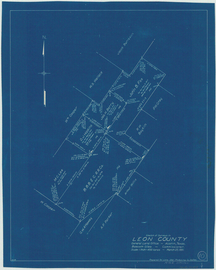
Leon County Working Sketch 10

Print $20.00
- Digital $50.00
Leon County Working Sketch 10
1951
Size 21.5 x 17.3 inches
Map/Doc 70409
Mills County Sketch File A
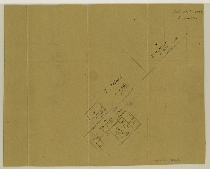

Print $4.00
- Digital $50.00
Mills County Sketch File A
1890
Size 8.9 x 11.0 inches
Map/Doc 31646
La Salle County Working Sketch 49
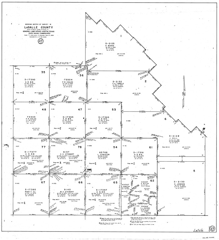

Print $20.00
- Digital $50.00
La Salle County Working Sketch 49
1984
Size 31.7 x 29.0 inches
Map/Doc 70350
Austin County Working Sketch Graphic Index


Print $20.00
- Digital $50.00
Austin County Working Sketch Graphic Index
1943
Size 38.6 x 41.1 inches
Map/Doc 76459
Young County Working Sketch 18


Print $20.00
- Digital $50.00
Young County Working Sketch 18
1960
Size 23.9 x 29.2 inches
Map/Doc 62041
McMullen County Working Sketch 38
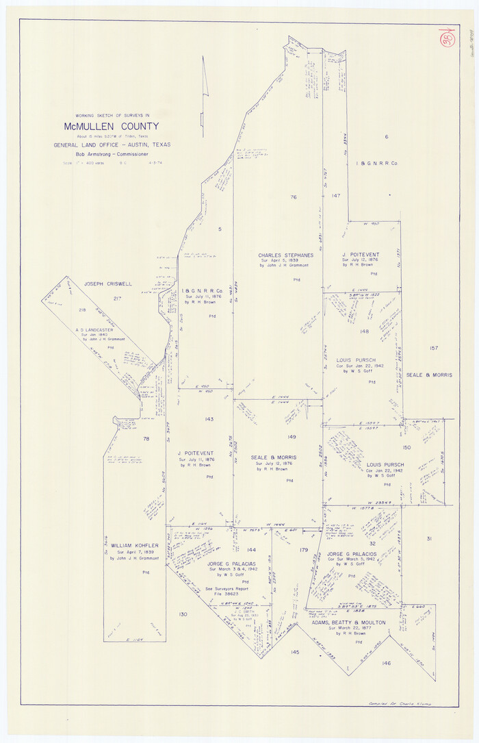

Print $20.00
- Digital $50.00
McMullen County Working Sketch 38
1974
Size 36.1 x 23.3 inches
Map/Doc 70739
Terrell County Working Sketch 18
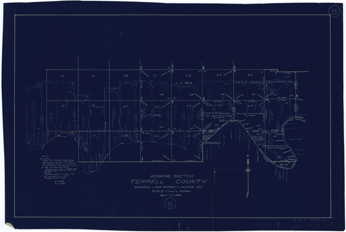

Print $20.00
- Digital $50.00
Terrell County Working Sketch 18
1929
Size 14.3 x 21.3 inches
Map/Doc 62167
Kleberg County Rolled Sketch 10-5


Print $20.00
- Digital $50.00
Kleberg County Rolled Sketch 10-5
1951
Size 37.6 x 35.6 inches
Map/Doc 9394
San Jacinto County Sketch File 9
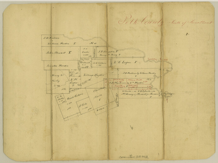

Print $4.00
San Jacinto County Sketch File 9
1860
Size 8.7 x 11.7 inches
Map/Doc 35712
You may also like
Map of Galveston Bay from Lawrence Cove to Stevenson's Station
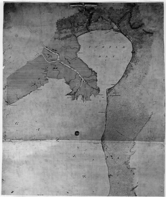

Print $20.00
- Digital $50.00
Map of Galveston Bay from Lawrence Cove to Stevenson's Station
1851
Size 35.2 x 29.7 inches
Map/Doc 69921
Hall County Boundary File 1


Print $26.00
- Digital $50.00
Hall County Boundary File 1
Size 8.8 x 4.0 inches
Map/Doc 54158
Flight Mission No. BRE-2P, Frame 95, Nueces County
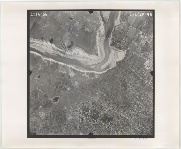

Print $20.00
- Digital $50.00
Flight Mission No. BRE-2P, Frame 95, Nueces County
1956
Size 18.4 x 22.3 inches
Map/Doc 86780
Camp County Working Sketch 1


Print $20.00
- Digital $50.00
Camp County Working Sketch 1
1970
Size 32.9 x 29.7 inches
Map/Doc 67877
Map of Texas from the most recent authorities
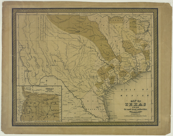

Print $20.00
Map of Texas from the most recent authorities
1845
Size 13.5 x 17.1 inches
Map/Doc 94574
El Paso County Boundary File 21
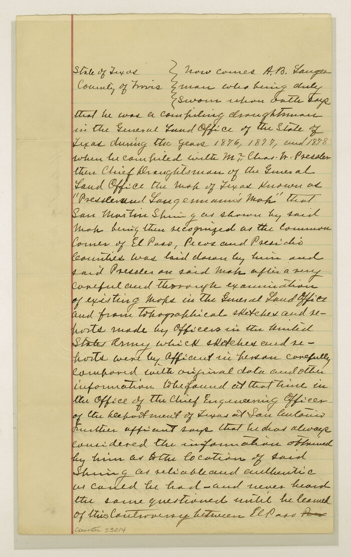

Print $6.00
- Digital $50.00
El Paso County Boundary File 21
Size 15.1 x 9.5 inches
Map/Doc 53214
Brewster County Rolled Sketch 144A
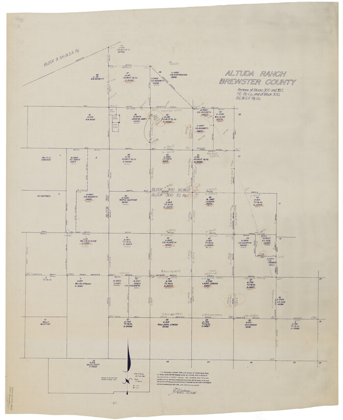

Print $40.00
- Digital $50.00
Brewster County Rolled Sketch 144A
Size 53.4 x 43.5 inches
Map/Doc 9195
Travis County Sketch File 19-28

Print $12.00
- Digital $50.00
Travis County Sketch File 19-28
1873
Size 8.6 x 7.7 inches
Map/Doc 38317
Lampasas County Sketch File 15
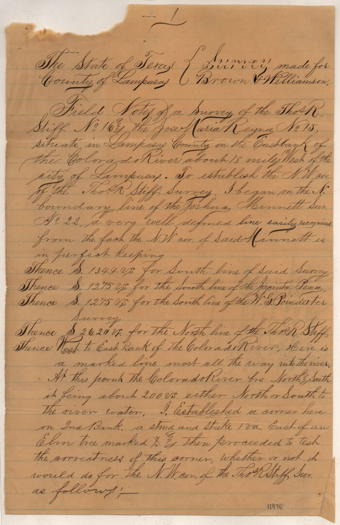

Print $20.00
- Digital $50.00
Lampasas County Sketch File 15
1888
Size 24.5 x 27.1 inches
Map/Doc 11975
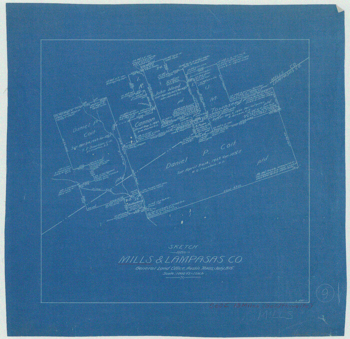
Mills County Working Sketch 9

Print $20.00
- Digital $50.00
Mills County Working Sketch 9
1915
Size 13.3 x 13.7 inches
Map/Doc 71039
Middle Sulphur and South Sulphur Rivers, Horton Sheet


Print $20.00
- Digital $50.00
Middle Sulphur and South Sulphur Rivers, Horton Sheet
1925
Size 42.2 x 40.3 inches
Map/Doc 65171
Wharton County Rolled Sketch 8


Print $20.00
- Digital $50.00
Wharton County Rolled Sketch 8
Size 24.4 x 39.2 inches
Map/Doc 8232
