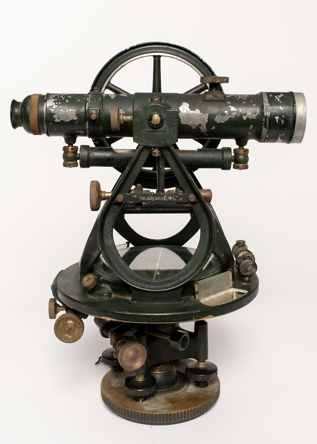
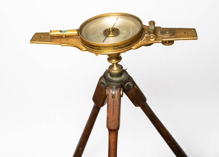
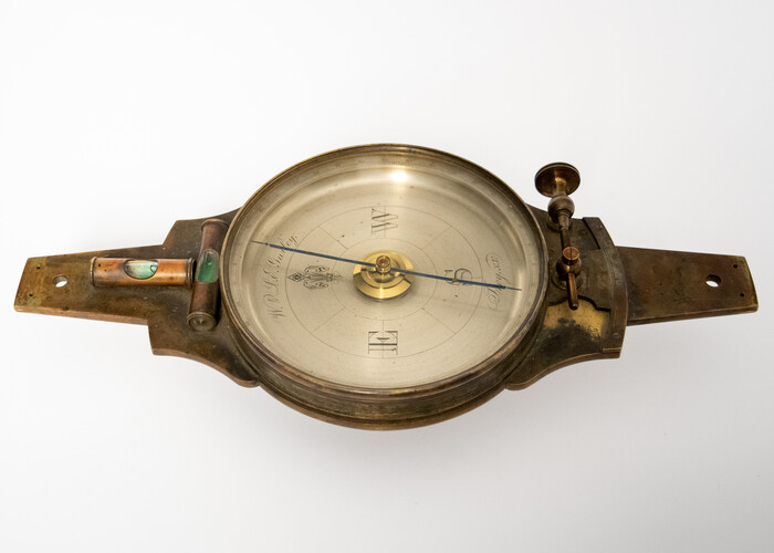
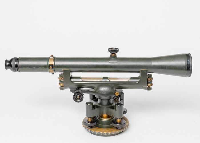
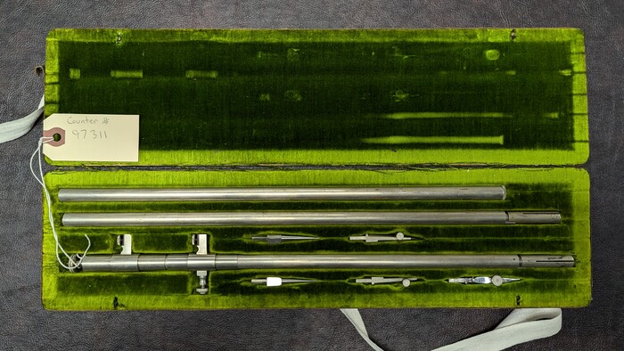
Gurley Transit
-
Map/Doc
97296
-
Collection
Equipment and Tools
-
Object Dates
1927 (Creation Date)
1927 (Manufacture Date)
-
People and Organizations
W. & L. E. Gurley (Manufacturer)
-
Height x Width
14.5 x 9.0 inches
36.8 x 22.9 cm
-
Medium
Surveying Equipment
-
Comments
With wooden box, metal tag on lid "Gurley Engineering Instruments, Troy N.Y., U.S.A." with logo.
Serial Number: 27140
Part of: Equipment and Tools
Wooden Arrow with metal arrowhead
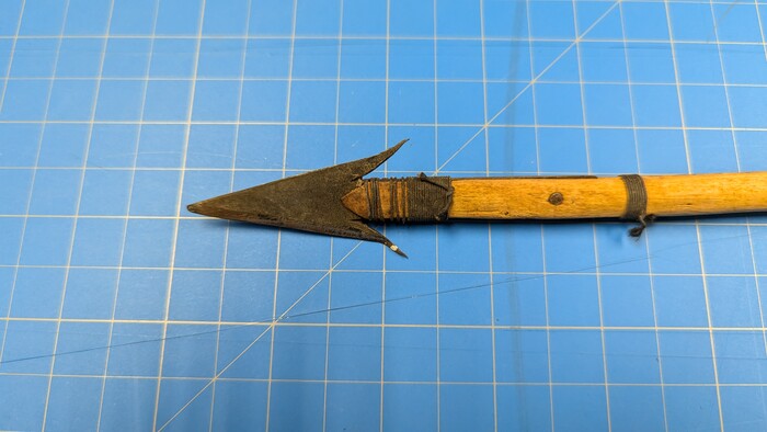

Wooden Arrow with metal arrowhead
Size 31.5 x 0.0 inches
Map/Doc 97334
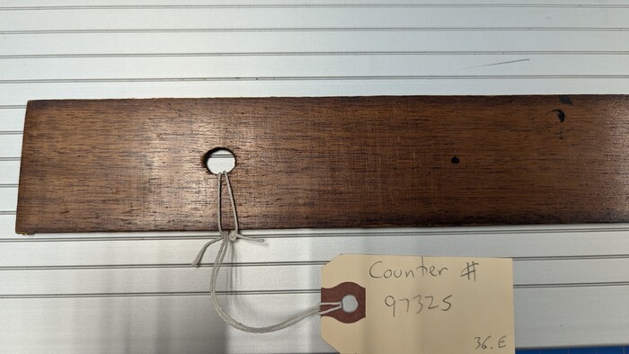
Dietzgen Globe Wooden 24" T Square
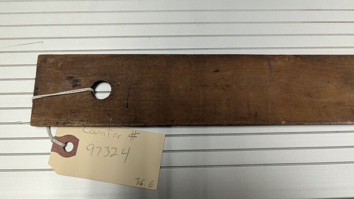

Dietzgen Globe Wooden 24" T Square
Size 26.0 x 9.3 inches
Map/Doc 97324
Half-circle Protractor with Arm and Vernier
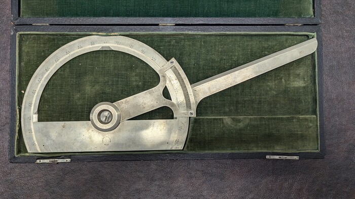

Half-circle Protractor with Arm and Vernier
Size 0.8 x 15.0 inches
Map/Doc 97309
You may also like
McClennan [sic] County, Texas
![577, McClennan [sic] County, Texas, Maddox Collection](https://historictexasmaps.com/wmedia_w700/maps/577.tif.jpg)
![577, McClennan [sic] County, Texas, Maddox Collection](https://historictexasmaps.com/wmedia_w700/maps/577.tif.jpg)
Print $20.00
- Digital $50.00
McClennan [sic] County, Texas
1880
Size 23.5 x 26.7 inches
Map/Doc 577
Runnels County Sketch File 39


Print $20.00
Runnels County Sketch File 39
1891
Size 25.2 x 19.1 inches
Map/Doc 12270
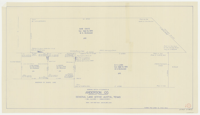
Anderson County Working Sketch 27

Print $20.00
- Digital $50.00
Anderson County Working Sketch 27
1959
Size 20.8 x 36.0 inches
Map/Doc 67027
Trinity River, Onion Creek Station Sheet/Chambers Creek


Print $6.00
- Digital $50.00
Trinity River, Onion Creek Station Sheet/Chambers Creek
1931
Size 35.1 x 32.4 inches
Map/Doc 65234
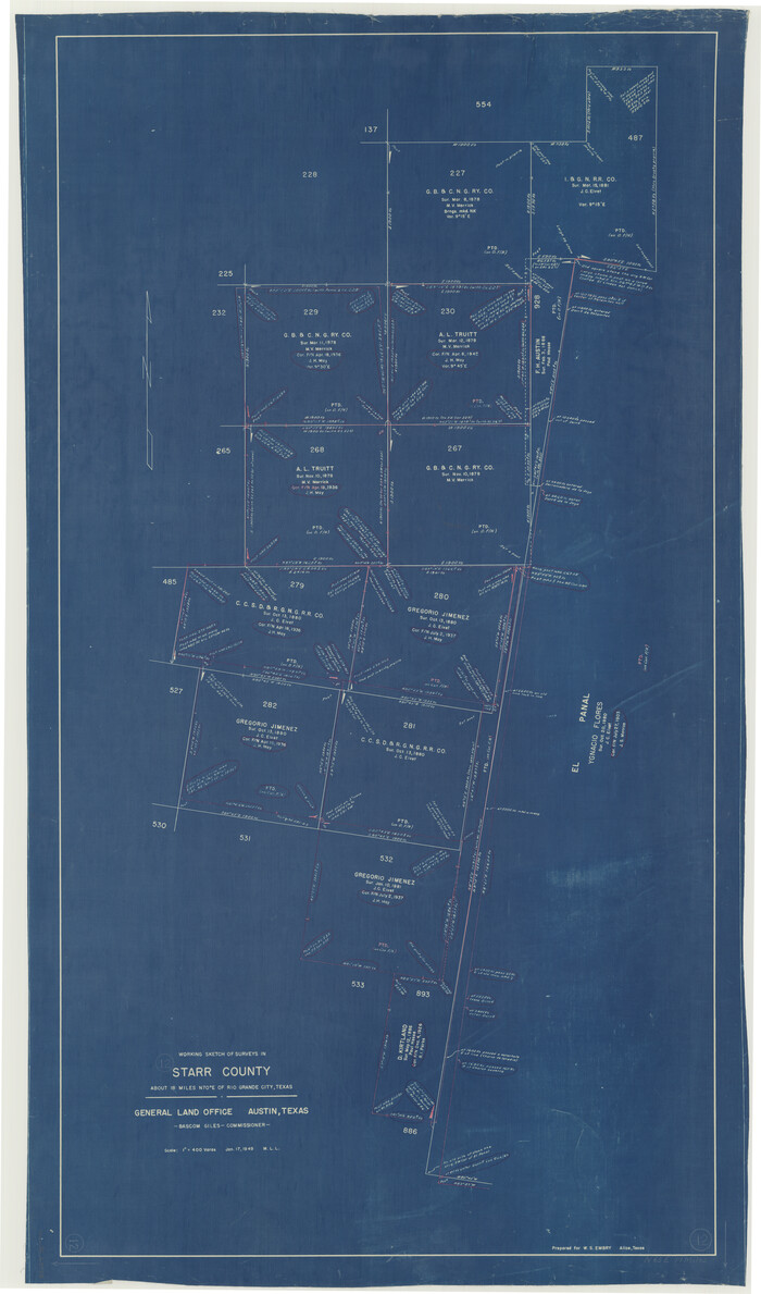
Starr County Working Sketch 12

Print $20.00
- Digital $50.00
Starr County Working Sketch 12
1949
Size 43.2 x 25.5 inches
Map/Doc 63928
[T. & P. Block 44, Township 1S]
![90818, [T. & P. Block 44, Township 1S], Twichell Survey Records](https://historictexasmaps.com/wmedia_w700/maps/90818-2.tif.jpg)
![90818, [T. & P. Block 44, Township 1S], Twichell Survey Records](https://historictexasmaps.com/wmedia_w700/maps/90818-2.tif.jpg)
Print $3.00
- Digital $50.00
[T. & P. Block 44, Township 1S]
Size 9.3 x 11.9 inches
Map/Doc 90818
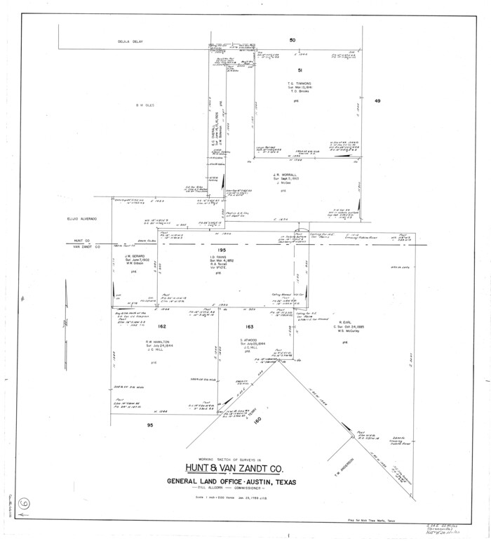
Hunt County Working Sketch 9

Print $20.00
- Digital $50.00
Hunt County Working Sketch 9
1959
Size 33.8 x 30.6 inches
Map/Doc 66356
Map of Lake Travis with detailed maps of Lakeway, Briarcliff, Lago Vista, Highland Lake Estates
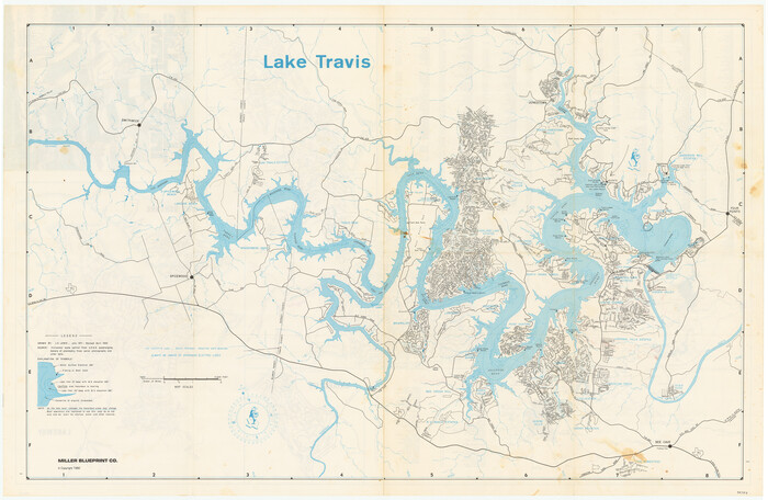

Map of Lake Travis with detailed maps of Lakeway, Briarcliff, Lago Vista, Highland Lake Estates
Size 23.0 x 35.3 inches
Map/Doc 94374
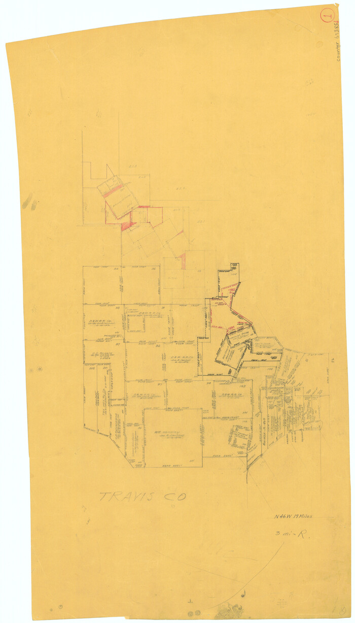
Travis County Working Sketch 1

Print $20.00
- Digital $50.00
Travis County Working Sketch 1
Size 30.9 x 17.6 inches
Map/Doc 69385
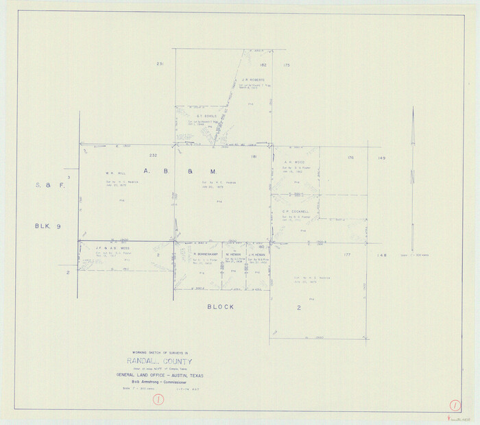
Randall County Working Sketch 1

Print $20.00
- Digital $50.00
Randall County Working Sketch 1
1974
Size 28.0 x 31.6 inches
Map/Doc 71838
[Map of Townsite of Swearingen, Cottle County, Texas]
![4465, [Map of Townsite of Swearingen, Cottle County, Texas], Maddox Collection](https://historictexasmaps.com/wmedia_w700/maps/4465.tif.jpg)
![4465, [Map of Townsite of Swearingen, Cottle County, Texas], Maddox Collection](https://historictexasmaps.com/wmedia_w700/maps/4465.tif.jpg)
Print $20.00
- Digital $50.00
[Map of Townsite of Swearingen, Cottle County, Texas]
Size 28.8 x 17.8 inches
Map/Doc 4465
Nueces County Rolled Sketch 72


Print $20.00
- Digital $50.00
Nueces County Rolled Sketch 72
1980
Size 18.1 x 25.8 inches
Map/Doc 6930
