
Donley County Sketch File 7

Armstrong County Sketch File 2
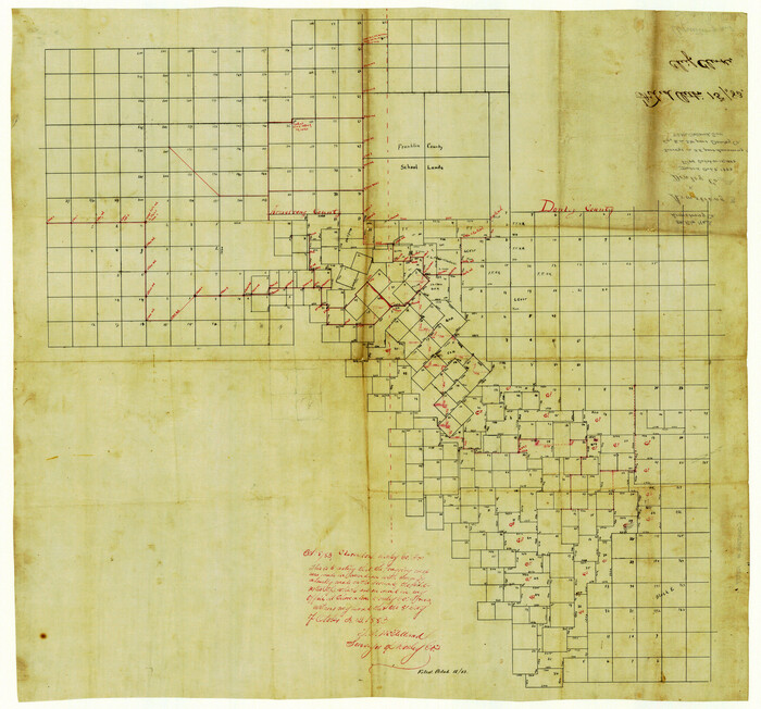
Armstrong County Sketch File 3
1883

Armstrong County Sketch File 4
1887

Armstrong County Sketch File A-3
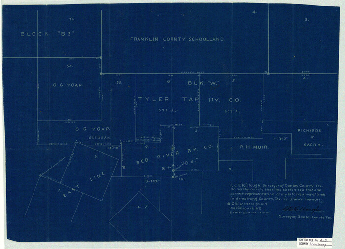
Armstrong County Sketch File A-4

Briscoe County Sketch File 6

Briscoe County Sketch File D
1918

Briscoe County Sketch File H
1917

Briscoe County Sketch File J
1919
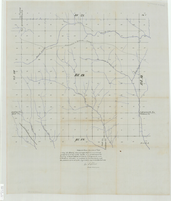
Collingsworth County Sketch File 3
1888
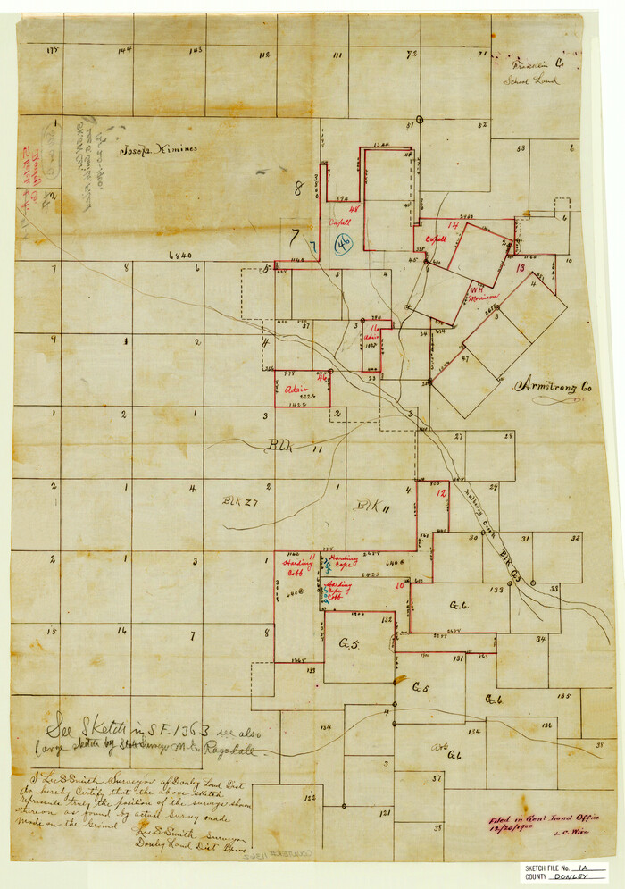
Donley County Sketch File 1a

Donley County Sketch File 2
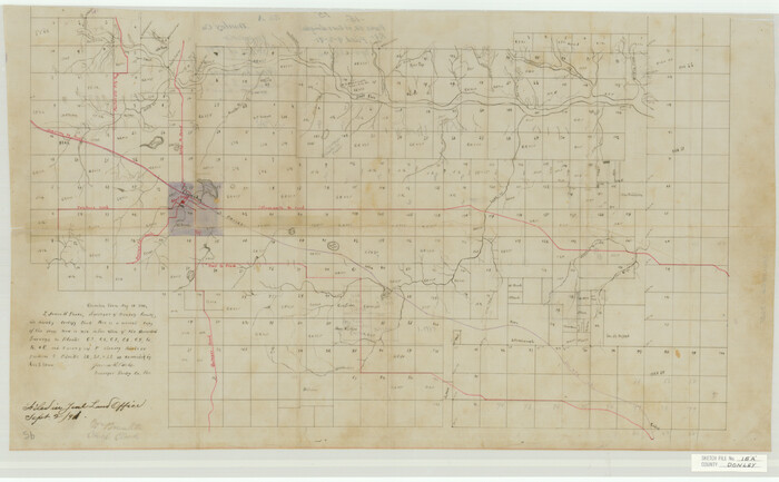
Donley County Sketch File 15a
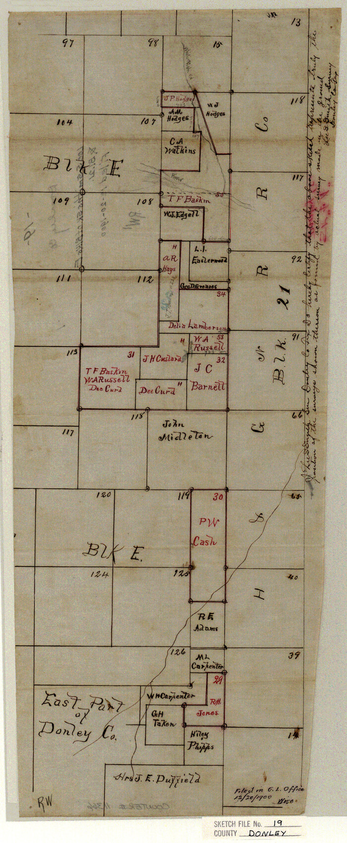
Donley County Sketch File 19
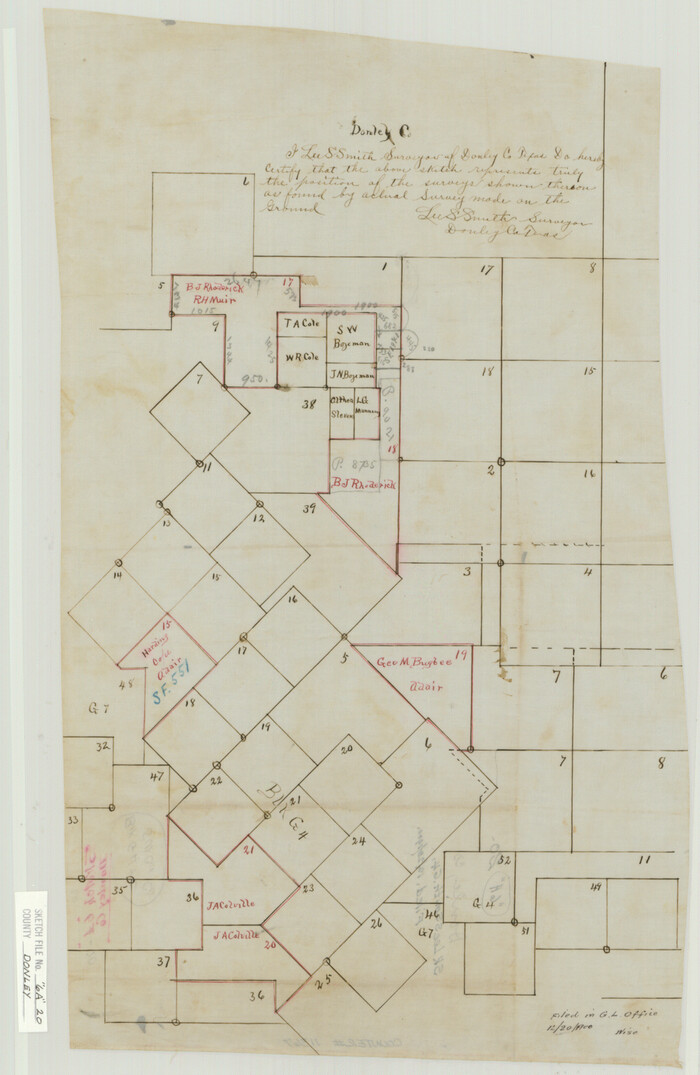
Donley County Sketch File 20 (6a)
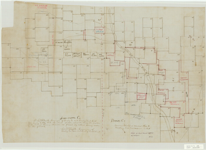
Donley County Sketch File 22
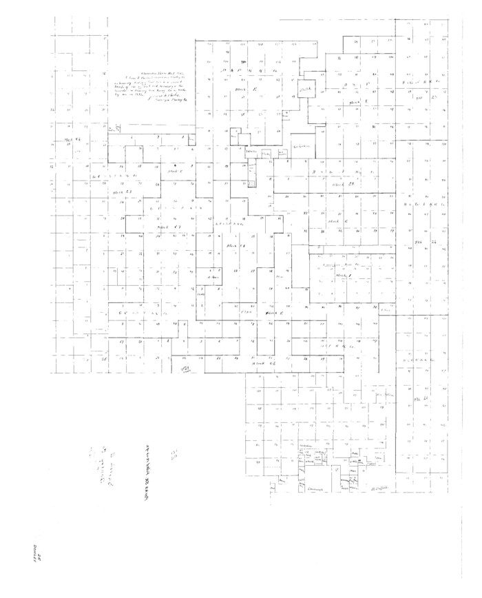
Donley County Sketch File 25

Donley County Sketch File B1
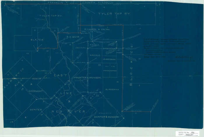
Donley County Sketch File B2
1918

Donley County Sketch File B3
1918
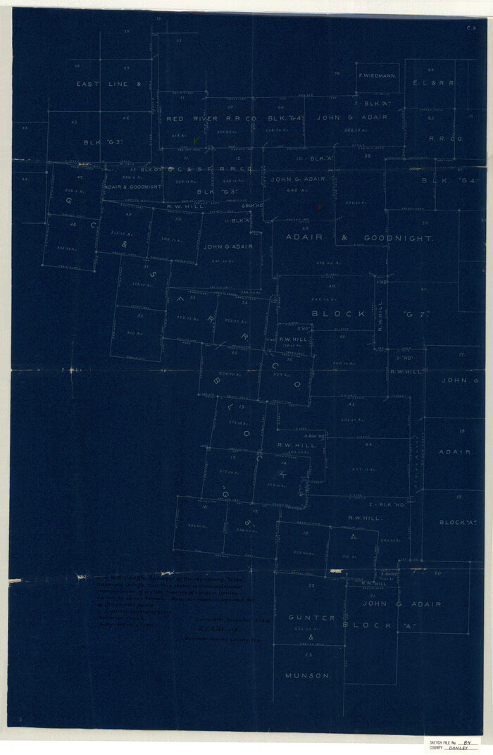
Donley County Sketch File B4
1918

Donley County Sketch File B5
1918

Donley County Sketch File B6
1919

Donley County Sketch File B7
1919
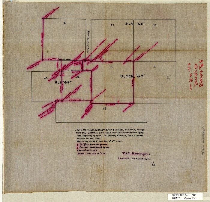
Donley County Sketch File B8
1920
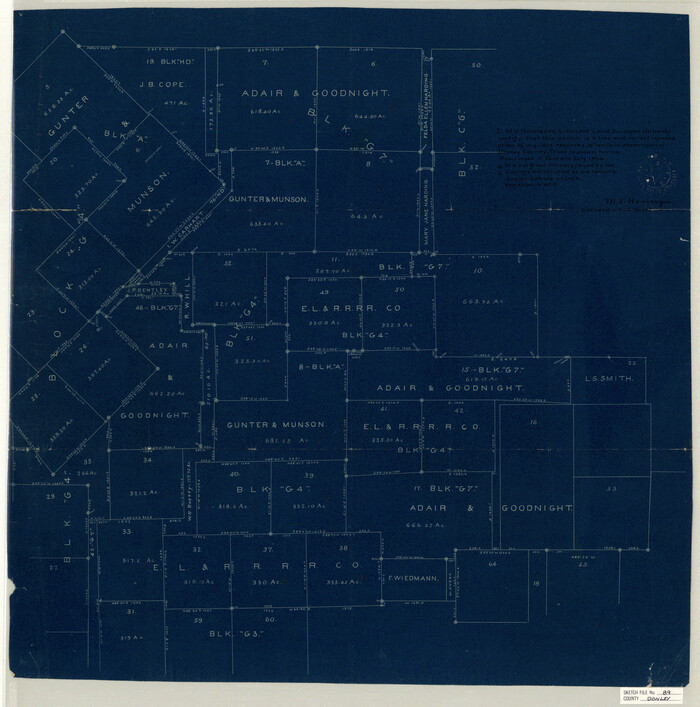
Donley County Sketch File B9
1920

Gray County Sketch File 6
1882

Hall County Sketch File 10
1884

Map of Donley County
1894

Donley County Sketch File 7
-
Size
38.3 x 38.2 inches
-
Map/Doc
10367

Armstrong County Sketch File 2
-
Size
21.5 x 40.0 inches
-
Map/Doc
10371

Armstrong County Sketch File 3
1883
-
Size
27.4 x 29.4 inches
-
Map/Doc
10839
-
Creation Date
1883

Armstrong County Sketch File 4
1887
-
Size
17.9 x 20.1 inches
-
Map/Doc
10840
-
Creation Date
1887

Armstrong County Sketch File A-3
-
Size
21.3 x 23.7 inches
-
Map/Doc
10844

Armstrong County Sketch File A-4
-
Size
14.8 x 20.5 inches
-
Map/Doc
10845

Briscoe County Sketch File 6
-
Size
29.8 x 24.6 inches
-
Map/Doc
10995

Briscoe County Sketch File D
1918
-
Size
25.8 x 22.9 inches
-
Map/Doc
11001
-
Creation Date
1918

Briscoe County Sketch File H
1917
-
Size
17.2 x 13.2 inches
-
Map/Doc
11005
-
Creation Date
1917

Briscoe County Sketch File J
1919
-
Size
19.3 x 32.0 inches
-
Map/Doc
11007
-
Creation Date
1919

Collingsworth County Sketch File 3
1888
-
Size
32.5 x 27.7 inches
-
Map/Doc
11130
-
Creation Date
1888

Donley County Sketch File 1a
-
Size
23.6 x 16.6 inches
-
Map/Doc
11362

Donley County Sketch File 2
-
Size
20.3 x 18.4 inches
-
Map/Doc
11363

Donley County Sketch File 15a
-
Size
16.8 x 27.1 inches
-
Map/Doc
11365

Donley County Sketch File 19
-
Size
20.4 x 8.4 inches
-
Map/Doc
11366

Donley County Sketch File 20 (6a)
-
Size
20.1 x 13.1 inches
-
Map/Doc
11367

Donley County Sketch File 22
-
Size
20.4 x 28.0 inches
-
Map/Doc
11368

Donley County Sketch File 25
-
Size
32.5 x 26.2 inches
-
Map/Doc
11369

Donley County Sketch File B1
-
Size
32.0 x 21.3 inches
-
Map/Doc
11371

Donley County Sketch File B2
1918
-
Size
15.1 x 22.4 inches
-
Map/Doc
11372
-
Creation Date
1918

Donley County Sketch File B3
1918
-
Size
22.0 x 15.0 inches
-
Map/Doc
11373
-
Creation Date
1918

Donley County Sketch File B4
1918
-
Size
33.3 x 21.8 inches
-
Map/Doc
11374
-
Creation Date
1918

Donley County Sketch File B5
1918
-
Size
22.5 x 18.4 inches
-
Map/Doc
11375
-
Creation Date
1918

Donley County Sketch File B6
1919
-
Size
16.5 x 14.6 inches
-
Map/Doc
11376
-
Creation Date
1919

Donley County Sketch File B7
1919
-
Size
25.5 x 32.4 inches
-
Map/Doc
11377
-
Creation Date
1919

Donley County Sketch File B8
1920
-
Size
15.3 x 15.9 inches
-
Map/Doc
11378
-
Creation Date
1920

Donley County Sketch File B9
1920
-
Size
26.0 x 25.8 inches
-
Map/Doc
11379
-
Creation Date
1920

Gray County Sketch File 6
1882
-
Size
26.3 x 21.4 inches
-
Map/Doc
11575
-
Creation Date
1882

Hall County Sketch File 10
1884
-
Size
19.6 x 22.1 inches
-
Map/Doc
11605
-
Creation Date
1884

Map of Donley County
1894
-
Size
44.6 x 35.8 inches
-
Map/Doc
16823
-
Creation Date
1894