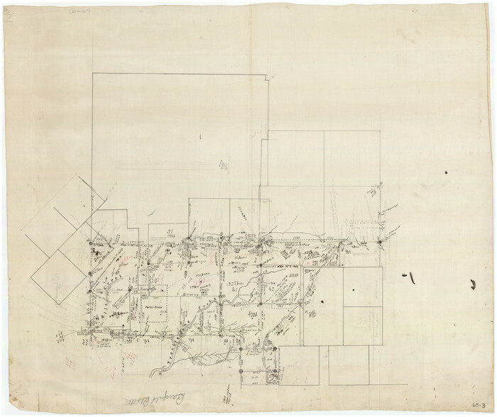
[Surveys along Halls Creek and Troublesome Creek]
Print $20.00
- Digital $50.00
[Surveys along Halls Creek and Troublesome Creek]
Size: 34.1 x 28.6 inches
90934
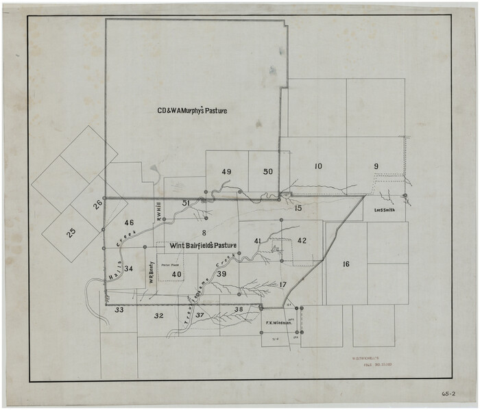
[Sketch showing C. D. & W. A. Murphy's Pasture and Wint Barfield's Pasture]
Print $20.00
- Digital $50.00
[Sketch showing C. D. & W. A. Murphy's Pasture and Wint Barfield's Pasture]
Size: 31.9 x 27.4 inches
90885
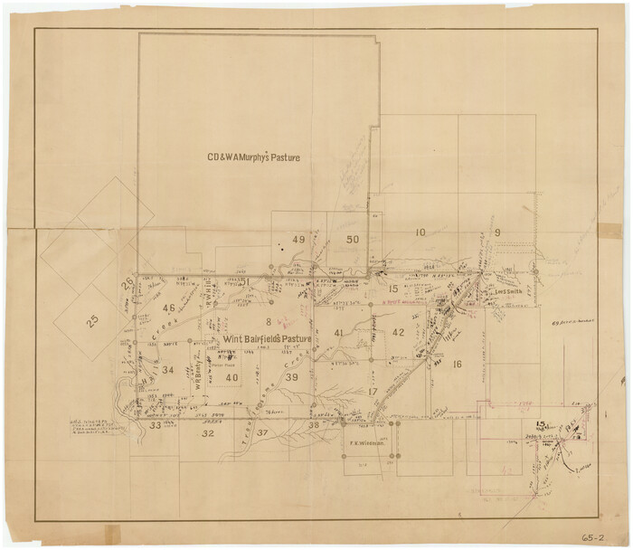
[Sketch showing C. D. & W. A. Murphy's Pasture and Wint Barfield's Pasture]
Print $20.00
- Digital $50.00
[Sketch showing C. D. & W. A. Murphy's Pasture and Wint Barfield's Pasture]
Size: 30.4 x 26.7 inches
90935
[H. & G. N. Block B3]
Print $20.00
- Digital $50.00
[H. & G. N. Block B3]
1887
Size: 20.3 x 18.8 inches
90273
[D. & P. Blk. G6 in SE Armstrong and SW Donley Counties]
Print $3.00
- Digital $50.00
[D. & P. Blk. G6 in SE Armstrong and SW Donley Counties]
Size: 11.7 x 9.4 inches
90269
Working Sketch in Gray, Donley, and Carson Counties, Texas

Print $20.00
- Digital $50.00
Working Sketch in Gray, Donley, and Carson Counties, Texas
1909
Size: 22.7 x 27.0 inches
90779
Working Sketch Armstrong County

Print $20.00
- Digital $50.00
Working Sketch Armstrong County
1909
Size: 32.0 x 23.8 inches
90264
Working Sketch Armstrong County

Print $20.00
- Digital $50.00
Working Sketch Armstrong County
Size: 29.3 x 21.2 inches
90274
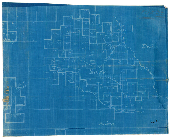
Map of Donley County

Print $20.00
- Digital $50.00
Map of Donley County
1894
Size: 44.6 x 35.8 inches
16823
Hall County Working Sketch 3

Print $20.00
- Digital $50.00
Hall County Working Sketch 3
1916
Size: 15.6 x 17.1 inches
63331
Hall County Working Sketch 2

Print $40.00
- Digital $50.00
Hall County Working Sketch 2
1907
Size: 40.9 x 48.4 inches
63330
Hall County Sketch File 11

Print $12.00
- Digital $50.00
Hall County Sketch File 11
1884
Size: 12.8 x 8.3 inches
24808
Hall County Sketch File 10

Print $20.00
- Digital $50.00
Hall County Sketch File 10
1884
Size: 19.6 x 22.1 inches
11605
Gray County Sketch File 9

Print $38.00
- Digital $50.00
Gray County Sketch File 9
1889
Size: 11.2 x 8.4 inches
24426
Gray County Sketch File 6

Print $20.00
- Digital $50.00
Gray County Sketch File 6
1882
Size: 26.3 x 21.4 inches
11575
Gray County Sketch File 11

Print $40.00
- Digital $50.00
Gray County Sketch File 11
Size: 15.0 x 13.5 inches
24452
Gray County Sketch File 10

Print $14.00
- Digital $50.00
Gray County Sketch File 10
Size: 9.7 x 6.3 inches
24445
General Highway Map, Donley County, Texas

Print $20.00
General Highway Map, Donley County, Texas
1940
Size: 25.1 x 18.3 inches
79078
General Highway Map, Donley County, Texas

Print $20.00
General Highway Map, Donley County, Texas
1961
Size: 24.4 x 18.3 inches
79445
Donley County Working Sketch Graphic Index

Print $20.00
- Digital $50.00
Donley County Working Sketch Graphic Index
1944
Size: 44.6 x 39.0 inches
76526
Donley County Working Sketch 9

Print $20.00
- Digital $50.00
Donley County Working Sketch 9
1982
Size: 24.7 x 42.2 inches
68742
Donley County Working Sketch 8

Print $20.00
- Digital $50.00
Donley County Working Sketch 8
1981
Size: 36.9 x 46.8 inches
68741
Donley County Working Sketch 7

Print $20.00
- Digital $50.00
Donley County Working Sketch 7
1971
Size: 23.7 x 26.1 inches
68740
Donley County Working Sketch 6

Print $20.00
- Digital $50.00
Donley County Working Sketch 6
1965
Size: 34.3 x 42.2 inches
68739
Donley County Working Sketch 5

Print $40.00
- Digital $50.00
Donley County Working Sketch 5
1957
Size: 54.8 x 32.2 inches
62185
Donley County Working Sketch 5

Print $40.00
- Digital $50.00
Donley County Working Sketch 5
Size: 54.3 x 32.9 inches
68738
Donley County Working Sketch 4

Print $20.00
- Digital $50.00
Donley County Working Sketch 4
1958
Size: 44.0 x 39.8 inches
68737
Donley County Working Sketch 3

Print $40.00
- Digital $50.00
Donley County Working Sketch 3
Size: 58.7 x 44.8 inches
68736
Donley County Working Sketch 2

Print $20.00
- Digital $50.00
Donley County Working Sketch 2
1916
Size: 15.2 x 17.1 inches
68735
[Surveys along Halls Creek and Troublesome Creek]
Print $20.00
- Digital $50.00
[Surveys along Halls Creek and Troublesome Creek]
-
Size
34.1 x 28.6 inches
-
Map/Doc
90934
[Sketch showing C. D. & W. A. Murphy's Pasture and Wint Barfield's Pasture]
Print $20.00
- Digital $50.00
[Sketch showing C. D. & W. A. Murphy's Pasture and Wint Barfield's Pasture]
-
Size
31.9 x 27.4 inches
-
Map/Doc
90885
[Sketch showing C. D. & W. A. Murphy's Pasture and Wint Barfield's Pasture]
Print $20.00
- Digital $50.00
[Sketch showing C. D. & W. A. Murphy's Pasture and Wint Barfield's Pasture]
-
Size
30.4 x 26.7 inches
-
Map/Doc
90935
[Jack District]
![1993, [Jack District], General Map Collection](https://historictexasmaps.com/wmedia_w700/maps/1993-1.tif.jpg)
Print $40.00
- Digital $50.00
[Jack District]
1878
-
Size
42.1 x 64.5 inches
-
Map/Doc
1993
-
Creation Date
1878
[H. & G. N. Block B3]
Print $20.00
- Digital $50.00
[H. & G. N. Block B3]
1887
-
Size
20.3 x 18.8 inches
-
Map/Doc
90273
-
Creation Date
1887
[D. & P. Blk. G6 in SE Armstrong and SW Donley Counties]
Print $3.00
- Digital $50.00
[D. & P. Blk. G6 in SE Armstrong and SW Donley Counties]
-
Size
11.7 x 9.4 inches
-
Map/Doc
90269
Working Sketch in Gray, Donley, and Carson Counties, Texas
Print $20.00
- Digital $50.00
Working Sketch in Gray, Donley, and Carson Counties, Texas
1909
-
Size
22.7 x 27.0 inches
-
Map/Doc
90779
-
Creation Date
1909
Working Sketch Armstrong County
Print $20.00
- Digital $50.00
Working Sketch Armstrong County
1909
-
Size
32.0 x 23.8 inches
-
Map/Doc
90264
-
Creation Date
1909
Working Sketch Armstrong County
Print $20.00
- Digital $50.00
Working Sketch Armstrong County
-
Size
29.3 x 21.2 inches
-
Map/Doc
90274
Map of Donley County
Print $20.00
- Digital $50.00
Map of Donley County
1894
-
Size
44.6 x 35.8 inches
-
Map/Doc
16823
-
Creation Date
1894
Hall County Working Sketch 3
Print $20.00
- Digital $50.00
Hall County Working Sketch 3
1916
-
Size
15.6 x 17.1 inches
-
Map/Doc
63331
-
Creation Date
1916
Hall County Working Sketch 2
Print $40.00
- Digital $50.00
Hall County Working Sketch 2
1907
-
Size
40.9 x 48.4 inches
-
Map/Doc
63330
-
Creation Date
1907
Hall County Sketch File 11
Print $12.00
- Digital $50.00
Hall County Sketch File 11
1884
-
Size
12.8 x 8.3 inches
-
Map/Doc
24808
-
Creation Date
1884
Hall County Sketch File 10
Print $20.00
- Digital $50.00
Hall County Sketch File 10
1884
-
Size
19.6 x 22.1 inches
-
Map/Doc
11605
-
Creation Date
1884
Gray County Sketch File 9
Print $38.00
- Digital $50.00
Gray County Sketch File 9
1889
-
Size
11.2 x 8.4 inches
-
Map/Doc
24426
-
Creation Date
1889
Gray County Sketch File 6
Print $20.00
- Digital $50.00
Gray County Sketch File 6
1882
-
Size
26.3 x 21.4 inches
-
Map/Doc
11575
-
Creation Date
1882
Gray County Sketch File 11
Print $40.00
- Digital $50.00
Gray County Sketch File 11
-
Size
15.0 x 13.5 inches
-
Map/Doc
24452
Gray County Sketch File 10
Print $14.00
- Digital $50.00
Gray County Sketch File 10
-
Size
9.7 x 6.3 inches
-
Map/Doc
24445
General Highway Map, Donley County, Texas
Print $20.00
General Highway Map, Donley County, Texas
1940
-
Size
25.1 x 18.3 inches
-
Map/Doc
79078
-
Creation Date
1940
General Highway Map, Donley County, Texas
Print $20.00
General Highway Map, Donley County, Texas
1961
-
Size
24.4 x 18.3 inches
-
Map/Doc
79445
-
Creation Date
1961
Donley County Working Sketch Graphic Index
Print $20.00
- Digital $50.00
Donley County Working Sketch Graphic Index
1944
-
Size
44.6 x 39.0 inches
-
Map/Doc
76526
-
Creation Date
1944
Donley County Working Sketch 9
Print $20.00
- Digital $50.00
Donley County Working Sketch 9
1982
-
Size
24.7 x 42.2 inches
-
Map/Doc
68742
-
Creation Date
1982
Donley County Working Sketch 8
Print $20.00
- Digital $50.00
Donley County Working Sketch 8
1981
-
Size
36.9 x 46.8 inches
-
Map/Doc
68741
-
Creation Date
1981
Donley County Working Sketch 7
Print $20.00
- Digital $50.00
Donley County Working Sketch 7
1971
-
Size
23.7 x 26.1 inches
-
Map/Doc
68740
-
Creation Date
1971
Donley County Working Sketch 6
Print $20.00
- Digital $50.00
Donley County Working Sketch 6
1965
-
Size
34.3 x 42.2 inches
-
Map/Doc
68739
-
Creation Date
1965
Donley County Working Sketch 5
Print $40.00
- Digital $50.00
Donley County Working Sketch 5
1957
-
Size
54.8 x 32.2 inches
-
Map/Doc
62185
-
Creation Date
1957
Donley County Working Sketch 5
Print $40.00
- Digital $50.00
Donley County Working Sketch 5
-
Size
54.3 x 32.9 inches
-
Map/Doc
68738
Donley County Working Sketch 4
Print $20.00
- Digital $50.00
Donley County Working Sketch 4
1958
-
Size
44.0 x 39.8 inches
-
Map/Doc
68737
-
Creation Date
1958
Donley County Working Sketch 3
Print $40.00
- Digital $50.00
Donley County Working Sketch 3
-
Size
58.7 x 44.8 inches
-
Map/Doc
68736
Donley County Working Sketch 2
Print $20.00
- Digital $50.00
Donley County Working Sketch 2
1916
-
Size
15.2 x 17.1 inches
-
Map/Doc
68735
-
Creation Date
1916