
Donley County Rolled Sketch 5
1982

Donley County Sketch File B12
1982
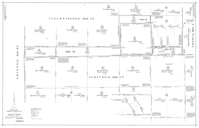
Donley County Rolled Sketch 6
1982

Donley County Working Sketch 10
1982

Donley County Working Sketch 9
1982
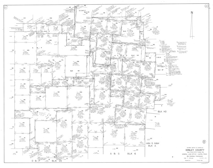
Donley County Working Sketch 8
1981
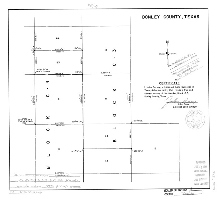
Donley County Rolled Sketch 4
1972

Donley County Working Sketch 7
1971

Donley County Working Sketch 6
1965

General Highway Map, Donley County, Texas
1961

Donley County Working Sketch 4
1958

Donley County Working Sketch 5
1957

Donley County Sketch File B11
1952

Donley County Rolled Sketch 3
1946
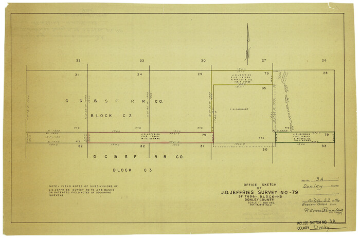
Donley County Rolled Sketch 3A
1946

Donley County Working Sketch Graphic Index
1944
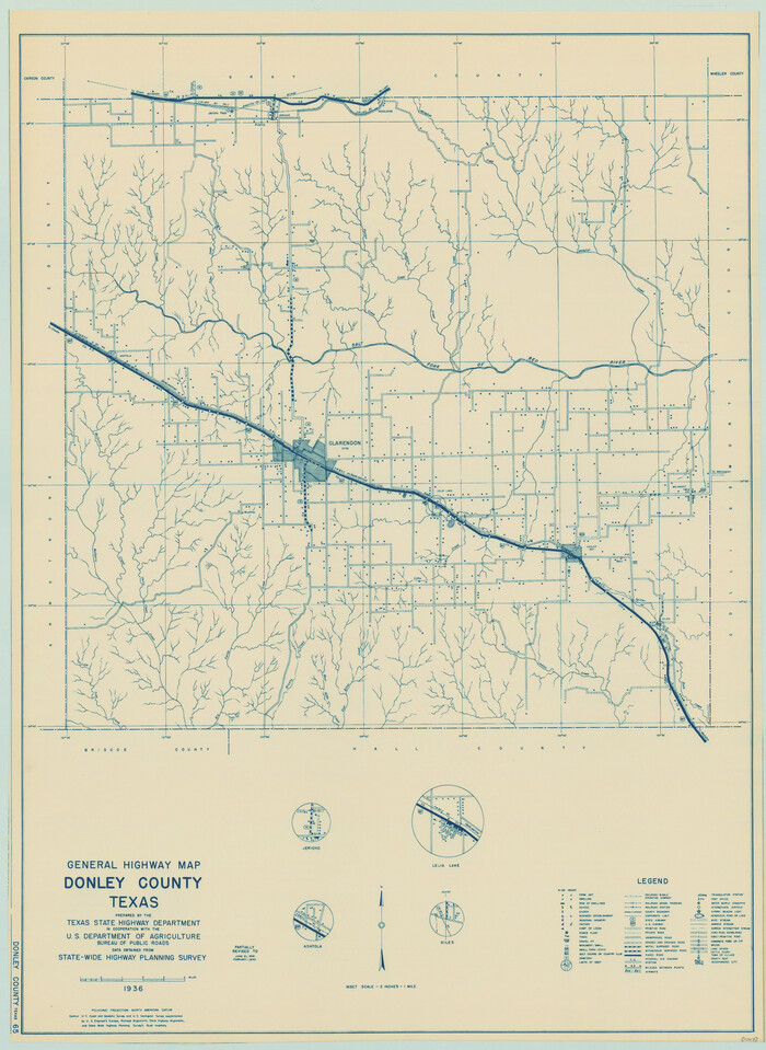
General Highway Map, Donley County, Texas
1940
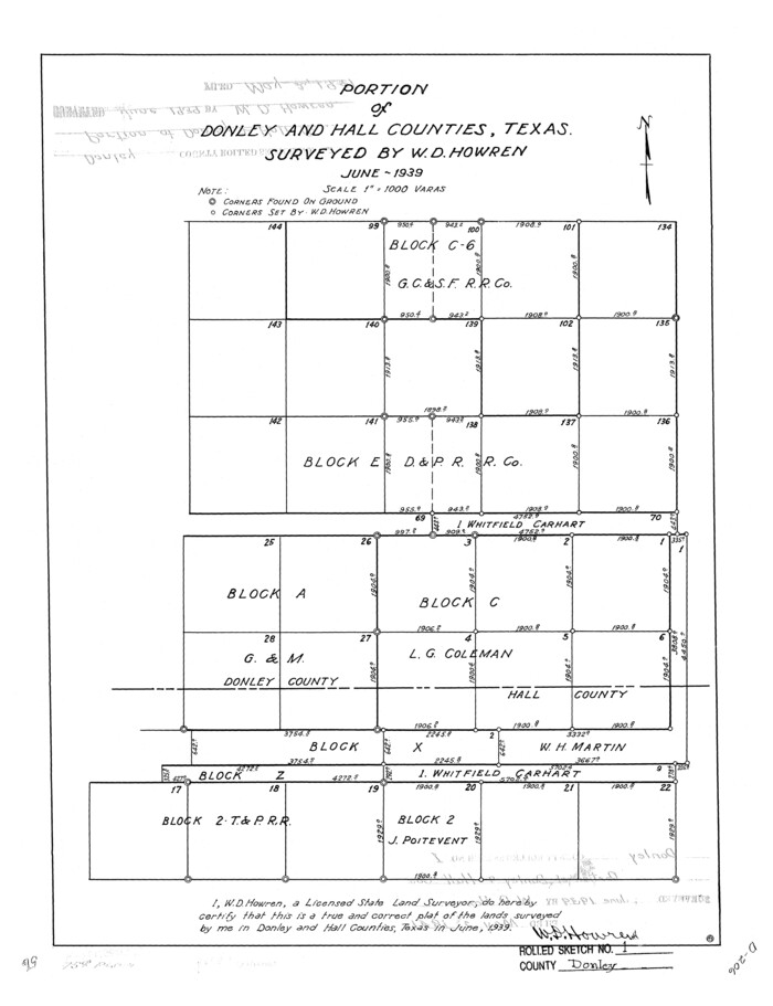
Donley County Rolled Sketch 1
1939
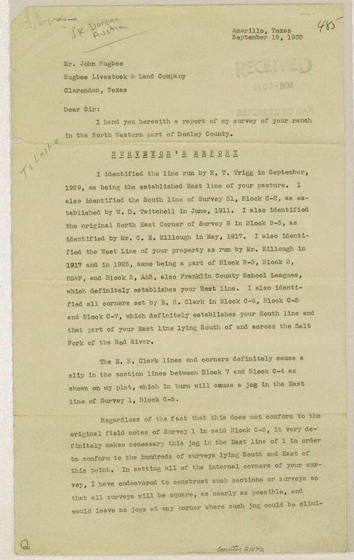
Donley County Sketch File B10
1938
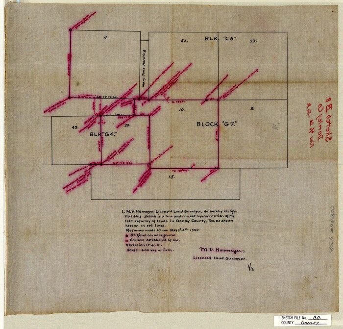
Donley County Sketch File B8
1920
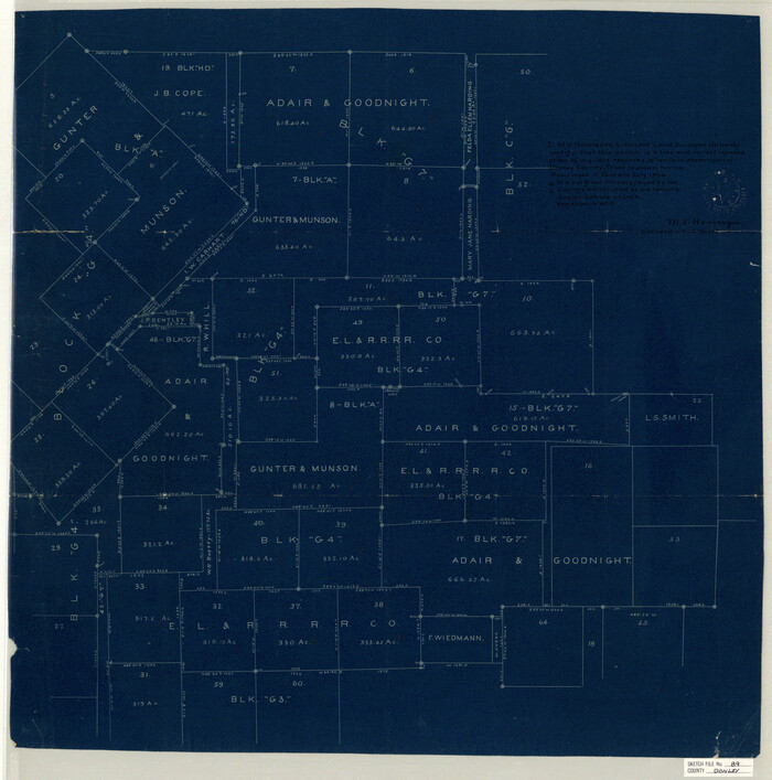
Donley County Sketch File B9
1920

Briscoe County Sketch File J
1919

Donley County Sketch File B6
1919

Donley County Sketch File B7
1919

Briscoe County Sketch File D
1918
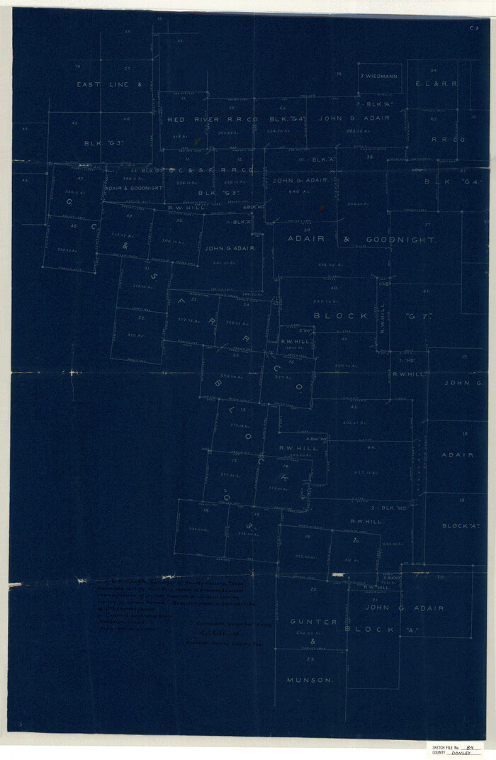
Donley County Sketch File B4
1918

Donley County Rolled Sketch 5
1982
-
Size
56.6 x 32.9 inches
-
Map/Doc
8801
-
Creation Date
1982

Donley County Sketch File B12
1982
-
Size
9.1 x 14.6 inches
-
Map/Doc
21276
-
Creation Date
1982

Donley County Rolled Sketch 6
1982
-
Size
42.9 x 66.6 inches
-
Map/Doc
8802
-
Creation Date
1982

Donley County Working Sketch 10
1982
-
Size
35.1 x 41.1 inches
-
Map/Doc
68743
-
Creation Date
1982

Donley County Working Sketch 9
1982
-
Size
24.7 x 42.2 inches
-
Map/Doc
68742
-
Creation Date
1982

Donley County Working Sketch 8
1981
-
Size
36.9 x 46.8 inches
-
Map/Doc
68741
-
Creation Date
1981

Donley County Rolled Sketch 4
1972
-
Size
16.0 x 17.4 inches
-
Map/Doc
5731
-
Creation Date
1972

Donley County Working Sketch 7
1971
-
Size
23.7 x 26.1 inches
-
Map/Doc
68740
-
Creation Date
1971

Donley County Working Sketch 6
1965
-
Size
34.3 x 42.2 inches
-
Map/Doc
68739
-
Creation Date
1965

General Highway Map, Donley County, Texas
1961
-
Size
24.4 x 18.3 inches
-
Map/Doc
79445
-
Creation Date
1961

Donley County Working Sketch 4
1958
-
Size
44.0 x 39.8 inches
-
Map/Doc
68737
-
Creation Date
1958

Donley County Working Sketch 5
1957
-
Size
54.8 x 32.2 inches
-
Map/Doc
62185
-
Creation Date
1957

Donley County Sketch File B11
1952
-
Size
11.5 x 9.0 inches
-
Map/Doc
21274
-
Creation Date
1952

Donley County Rolled Sketch 3
1946
-
Size
15.1 x 21.9 inches
-
Map/Doc
5729
-
Creation Date
1946

Donley County Rolled Sketch 3A
1946
-
Size
15.2 x 22.6 inches
-
Map/Doc
5730
-
Creation Date
1946
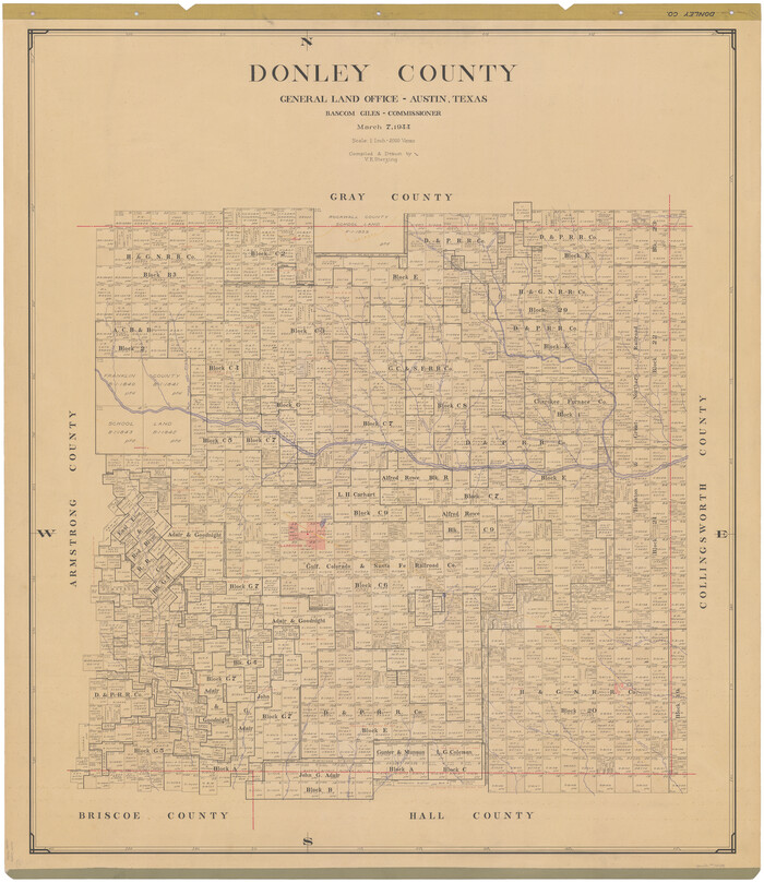
Donley County
1944
-
Size
46.0 x 40.5 inches
-
Map/Doc
73134
-
Creation Date
1944

Donley County
1944
-
Size
43.6 x 37.7 inches
-
Map/Doc
77266
-
Creation Date
1944
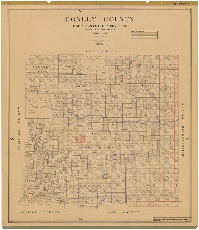
Donley County
1944
-
Size
46.8 x 40.6 inches
-
Map/Doc
95484
-
Creation Date
1944
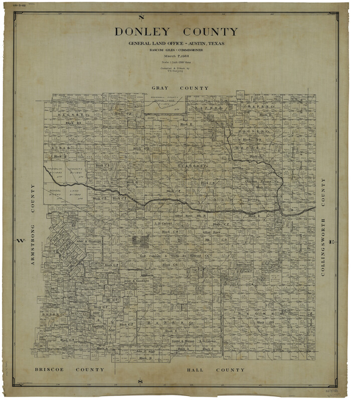
Donley County
1944
-
Size
45.8 x 40.2 inches
-
Map/Doc
1819
-
Creation Date
1944

Donley County Working Sketch Graphic Index
1944
-
Size
44.6 x 39.0 inches
-
Map/Doc
76526
-
Creation Date
1944

General Highway Map, Donley County, Texas
1940
-
Size
25.1 x 18.3 inches
-
Map/Doc
79078
-
Creation Date
1940

Donley County Rolled Sketch 1
1939
-
Size
19.6 x 15.1 inches
-
Map/Doc
5728
-
Creation Date
1939

Donley County Sketch File B10
1938
-
Size
14.3 x 9.1 inches
-
Map/Doc
21272
-
Creation Date
1938

Donley County Sketch File B8
1920
-
Size
15.3 x 15.9 inches
-
Map/Doc
11378
-
Creation Date
1920

Donley County Sketch File B9
1920
-
Size
26.0 x 25.8 inches
-
Map/Doc
11379
-
Creation Date
1920

Briscoe County Sketch File J
1919
-
Size
19.3 x 32.0 inches
-
Map/Doc
11007
-
Creation Date
1919

Donley County Sketch File B6
1919
-
Size
16.5 x 14.6 inches
-
Map/Doc
11376
-
Creation Date
1919

Donley County Sketch File B7
1919
-
Size
25.5 x 32.4 inches
-
Map/Doc
11377
-
Creation Date
1919

Briscoe County Sketch File D
1918
-
Size
25.8 x 22.9 inches
-
Map/Doc
11001
-
Creation Date
1918

Donley County Sketch File B4
1918
-
Size
33.3 x 21.8 inches
-
Map/Doc
11374
-
Creation Date
1918