
1875 land survey for the International and Great Northern Rail-road Company
1875
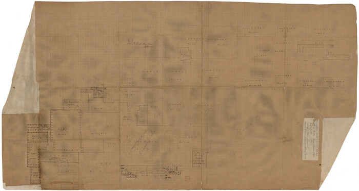
Armstrong County Rolled Sketch 4
1876

Armstrong County Sketch File 2
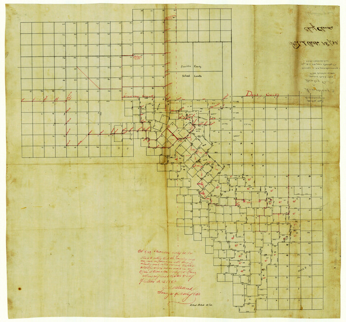
Armstrong County Sketch File 3
1883

Armstrong County Sketch File 4
1887

Armstrong County Sketch File A-3
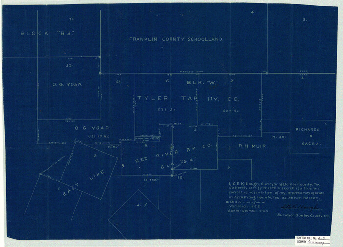
Armstrong County Sketch File A-4
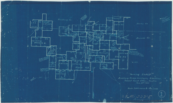
Armstrong County Working Sketch 1
1903
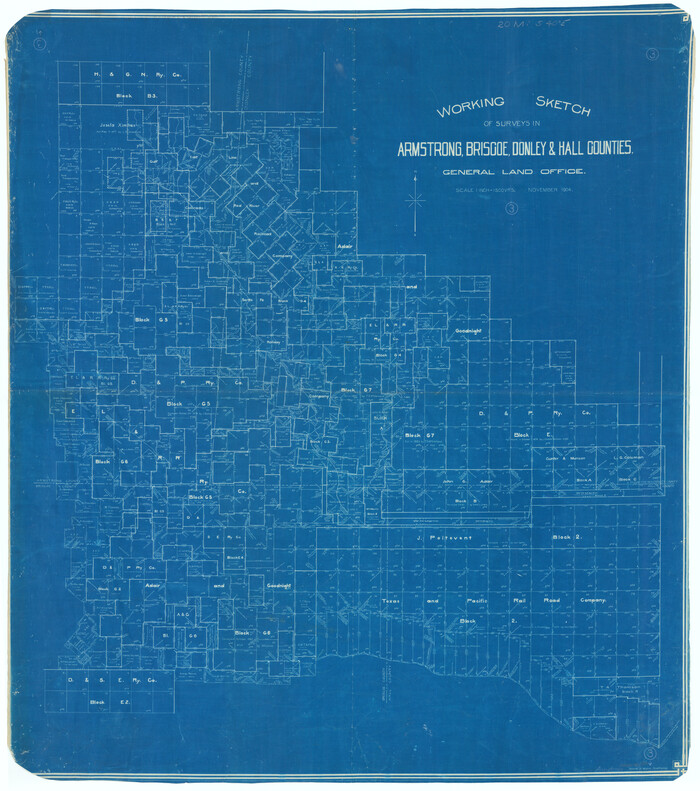
Armstrong County Working Sketch 3
1904

Briscoe County Rolled Sketch 6

Briscoe County Sketch File 6

Briscoe County Sketch File D
1918

Briscoe County Sketch File H
1917

Briscoe County Sketch File J
1919
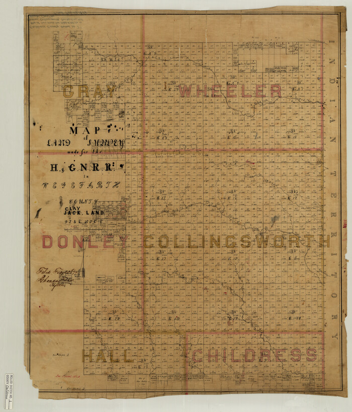
Childress County Rolled Sketch 1

Clarendon, Texas, Donley Co.
1890
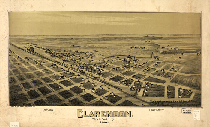
Clarendon, Texas, Donley Co.
1890
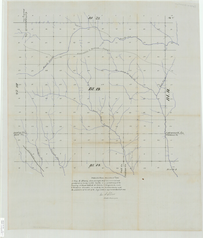
Collingsworth County Sketch File 3
1888

District Map Showing Deaf Smith, Randall, Armstrong, Donley, Collingsworth, Castro, Swisher, Briscoe, Hall & Childress Counties, Texas
1878

Donley County Boundary File 1
Donley County Boundary File 2
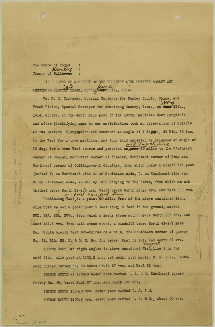
Donley County Boundary File 3

1875 land survey for the International and Great Northern Rail-road Company
1875
-
Size
42.5 x 60.6 inches
-
Map/Doc
2306
-
Creation Date
1875

Armstrong County Rolled Sketch 4
1876
-
Size
37.8 x 70.8 inches
-
Map/Doc
8426
-
Creation Date
1876

Armstrong County Sketch File 2
-
Size
21.5 x 40.0 inches
-
Map/Doc
10371

Armstrong County Sketch File 3
1883
-
Size
27.4 x 29.4 inches
-
Map/Doc
10839
-
Creation Date
1883

Armstrong County Sketch File 4
1887
-
Size
17.9 x 20.1 inches
-
Map/Doc
10840
-
Creation Date
1887

Armstrong County Sketch File A-3
-
Size
21.3 x 23.7 inches
-
Map/Doc
10844

Armstrong County Sketch File A-4
-
Size
14.8 x 20.5 inches
-
Map/Doc
10845

Armstrong County Working Sketch 1
1903
-
Size
10.3 x 17.2 inches
-
Map/Doc
67232
-
Creation Date
1903

Armstrong County Working Sketch 3
1904
-
Size
46.1 x 40.8 inches
-
Map/Doc
67234
-
Creation Date
1904

Briscoe County Rolled Sketch 6
-
Size
27.0 x 31.4 inches
-
Map/Doc
5326

Briscoe County Sketch File 6
-
Size
29.8 x 24.6 inches
-
Map/Doc
10995

Briscoe County Sketch File D
1918
-
Size
25.8 x 22.9 inches
-
Map/Doc
11001
-
Creation Date
1918

Briscoe County Sketch File H
1917
-
Size
17.2 x 13.2 inches
-
Map/Doc
11005
-
Creation Date
1917

Briscoe County Sketch File J
1919
-
Size
19.3 x 32.0 inches
-
Map/Doc
11007
-
Creation Date
1919

Childress County Rolled Sketch 1
-
Size
31.2 x 26.5 inches
-
Map/Doc
5437

Clarendon, Texas, Donley Co.
1890
-
Size
15.7 x 26.6 inches
-
Map/Doc
89078
-
Creation Date
1890

Clarendon, Texas, Donley Co.
1890
-
Size
17.4 x 28.6 inches
-
Map/Doc
93468
-
Creation Date
1890

Collingsworth County Sketch File 3
1888
-
Size
32.5 x 27.7 inches
-
Map/Doc
11130
-
Creation Date
1888

District Map Showing Deaf Smith, Randall, Armstrong, Donley, Collingsworth, Castro, Swisher, Briscoe, Hall & Childress Counties, Texas
1878
-
Size
42.9 x 82.3 inches
-
Map/Doc
1994
-
Creation Date
1878
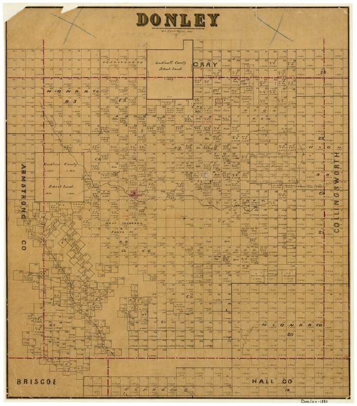
Donley
1880
-
Size
20.5 x 18.1 inches
-
Map/Doc
3494
-
Creation Date
1880
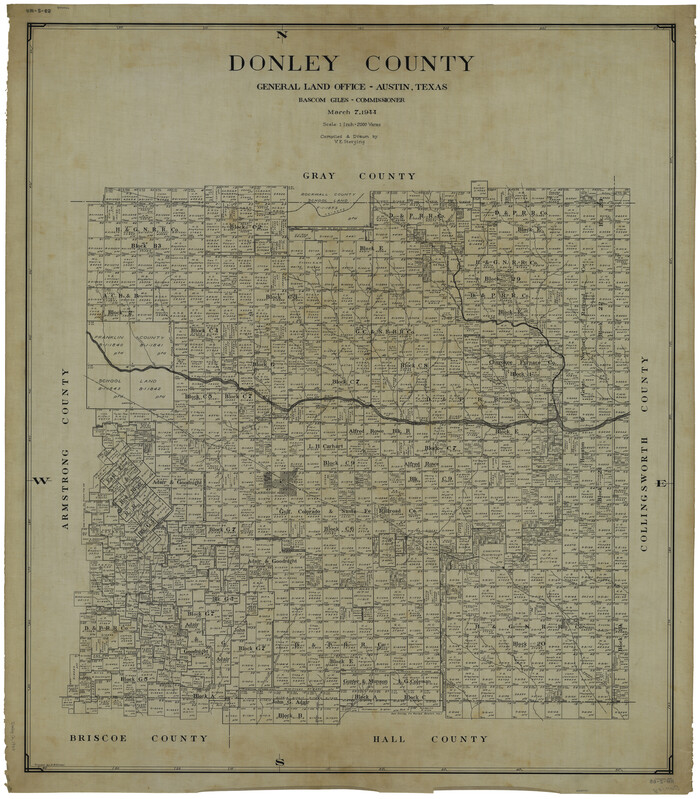
Donley County
1944
-
Size
45.8 x 40.2 inches
-
Map/Doc
1819
-
Creation Date
1944
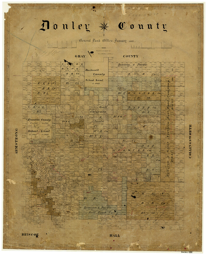
Donley County
1882
-
Size
25.0 x 20.3 inches
-
Map/Doc
3495
-
Creation Date
1882
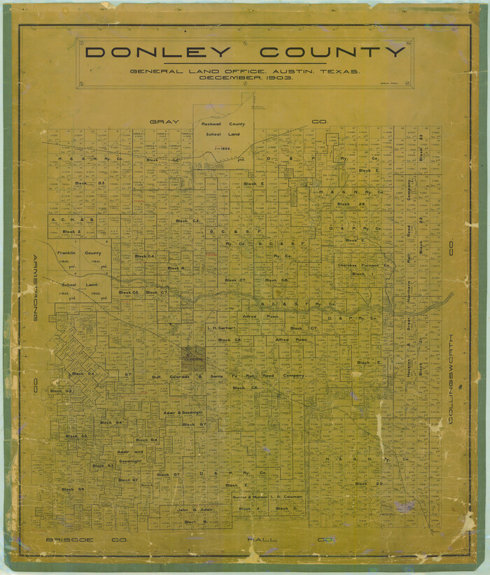
Donley County
1903
-
Size
47.1 x 39.9 inches
-
Map/Doc
4724
-
Creation Date
1903
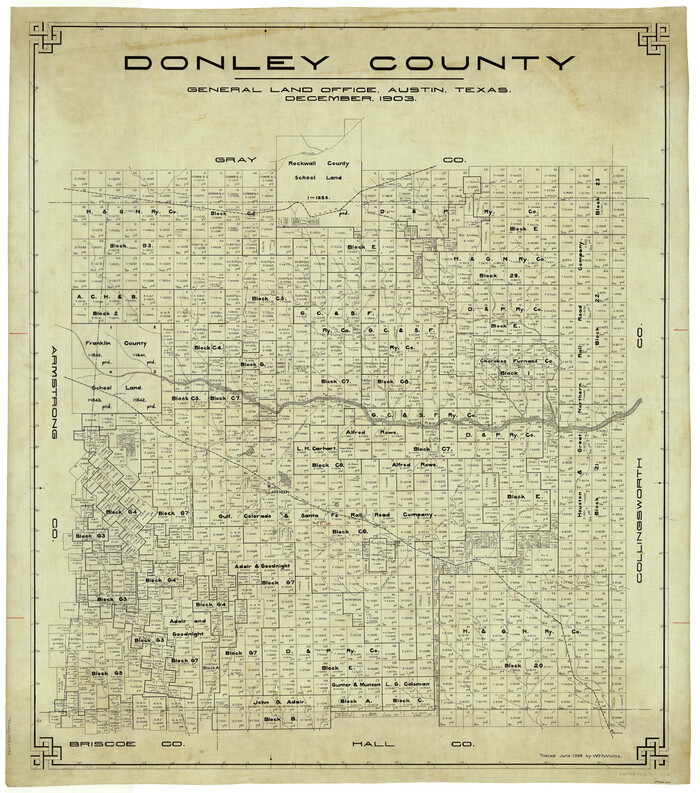
Donley County
1903
-
Size
44.3 x 39.1 inches
-
Map/Doc
4935
-
Creation Date
1903
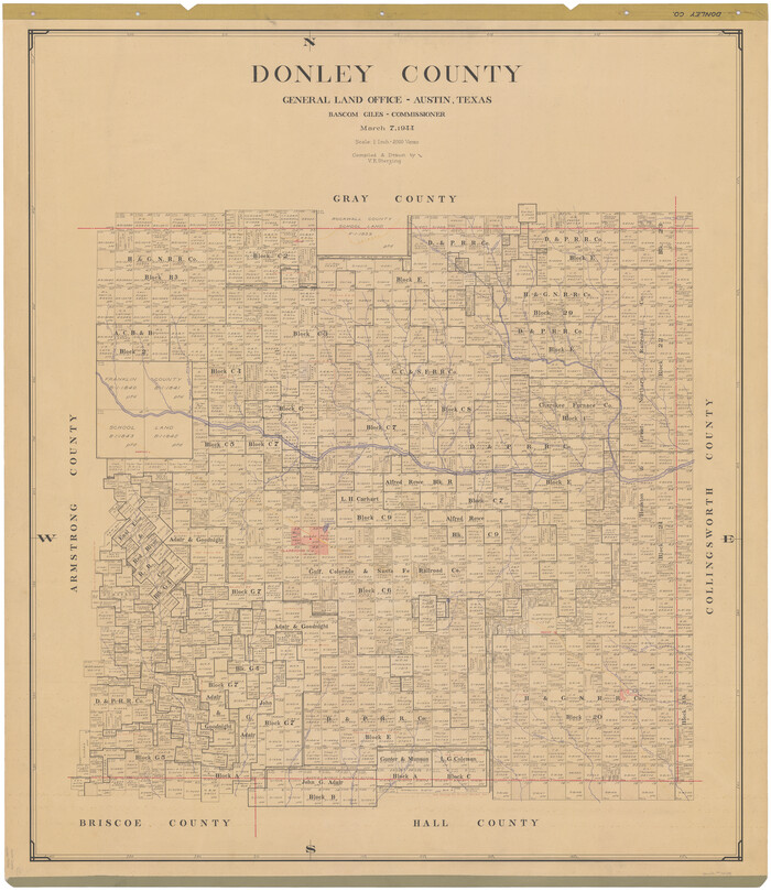
Donley County
1944
-
Size
46.0 x 40.5 inches
-
Map/Doc
73134
-
Creation Date
1944

Donley County
1944
-
Size
43.6 x 37.7 inches
-
Map/Doc
77266
-
Creation Date
1944
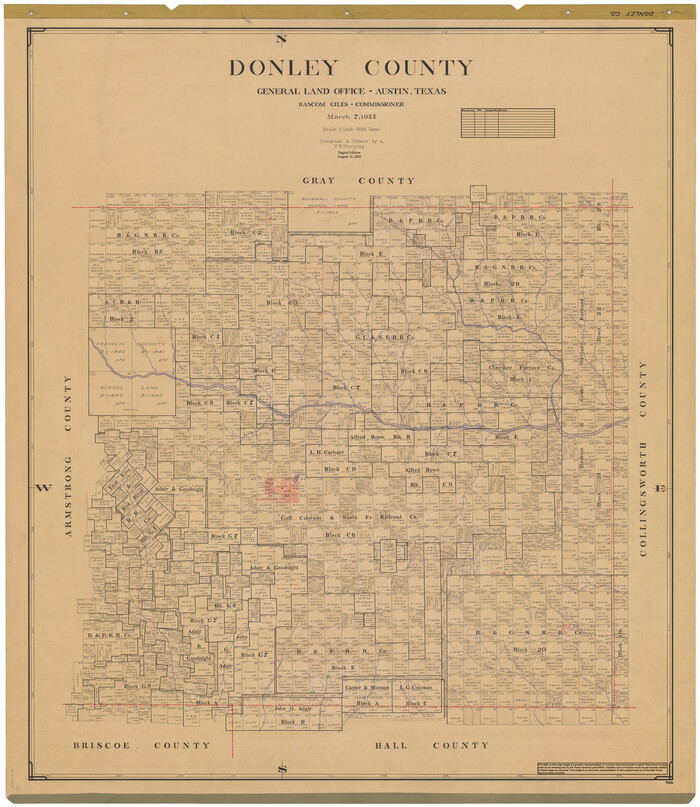
Donley County
1944
-
Size
46.8 x 40.6 inches
-
Map/Doc
95484
-
Creation Date
1944

Donley County Boundary File 1
-
Size
11.1 x 8.6 inches
-
Map/Doc
52613

Donley County Boundary File 2
-
Size
8.7 x 11.3 inches
-
Map/Doc
52619

Donley County Boundary File 3
-
Size
13.2 x 8.7 inches
-
Map/Doc
52623