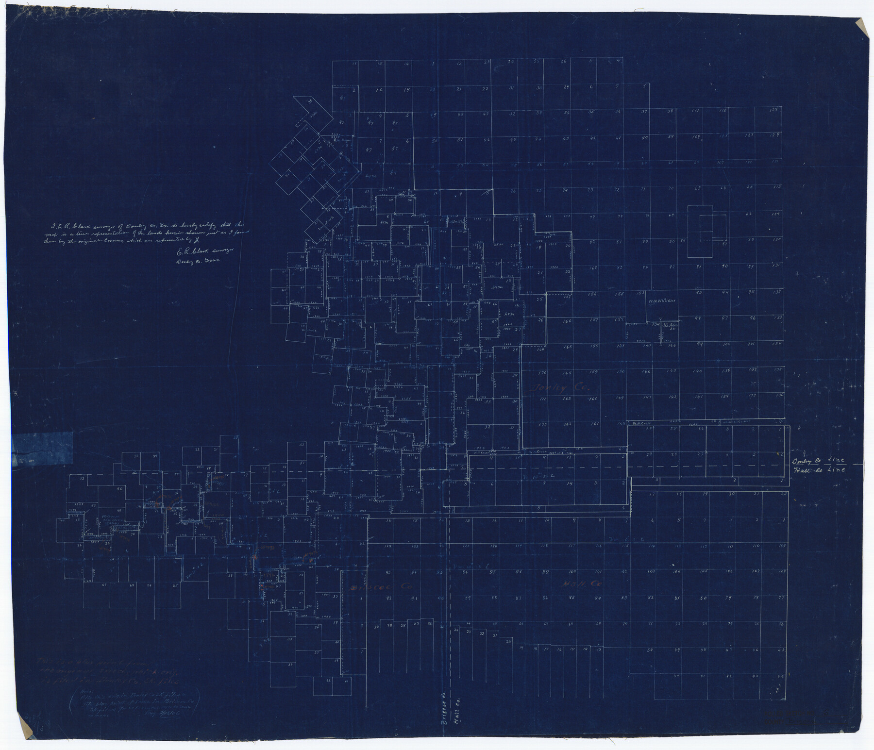
Briscoe County Rolled Sketch 6
[Sketch in Briscoe, Donley & Hall Counties]
-
Map/Doc
5326
-
Collection
General Map Collection
-
Object Dates
1906/3/16 (File Date)
-
People and Organizations
E.R. Clark (Surveyor/Engineer)
-
Counties
Briscoe Donley Hall
-
Subjects
Surveying Rolled Sketch
-
Height x Width
27.0 x 31.4 inches
68.6 x 79.8 cm
-
Medium
blueprint/diazo
Part of: General Map Collection
Flight Mission No. DQO-13T, Frame 49, Galveston County

Print $20.00
- Digital $50.00
Flight Mission No. DQO-13T, Frame 49, Galveston County
1958
Size 18.5 x 18.4 inches
Map/Doc 85214
Motley County Sketch File 11 (N)

Print $14.00
- Digital $50.00
Motley County Sketch File 11 (N)
1900
Size 11.1 x 8.6 inches
Map/Doc 32036
Val Verde County Rolled Sketch 72

Print $20.00
- Digital $50.00
Val Verde County Rolled Sketch 72
Size 15.2 x 28.5 inches
Map/Doc 8134
Liberty County Sketch File B

Print $4.00
- Digital $50.00
Liberty County Sketch File B
1869
Size 12.0 x 8.2 inches
Map/Doc 30066
Flight Mission No. CRE-1R, Frame 134, Jackson County

Print $20.00
- Digital $50.00
Flight Mission No. CRE-1R, Frame 134, Jackson County
1956
Size 16.2 x 16.0 inches
Map/Doc 85342
Hydrography Survey H-6395 Off Coast of Texas, Aransas Pass to Corpus Christi Pass in the Gulf of Mexico

Print $40.00
- Digital $50.00
Hydrography Survey H-6395 Off Coast of Texas, Aransas Pass to Corpus Christi Pass in the Gulf of Mexico
1938
Size 56.1 x 33.6 inches
Map/Doc 2696
Greer County Sketch File 8

Print $20.00
- Digital $50.00
Greer County Sketch File 8
Size 16.7 x 23.6 inches
Map/Doc 11584
[Sketch for Mineral Application 33721 - 33725 Incl. - Padre and Mustang Island]
![2874, [Sketch for Mineral Application 33721 - 33725 Incl. - Padre and Mustang Island], General Map Collection](https://historictexasmaps.com/wmedia_w700/maps/2874.tif.jpg)
Print $20.00
- Digital $50.00
[Sketch for Mineral Application 33721 - 33725 Incl. - Padre and Mustang Island]
1941
Size 40.2 x 22.8 inches
Map/Doc 2874
Flight Mission No. DAH-10M, Frame 45, Orange County

Print $20.00
- Digital $50.00
Flight Mission No. DAH-10M, Frame 45, Orange County
1953
Size 18.8 x 22.5 inches
Map/Doc 86880
Chicago, Rock Island, Texas & Mexico

Print $40.00
- Digital $50.00
Chicago, Rock Island, Texas & Mexico
1920
Size 25.9 x 120.3 inches
Map/Doc 64422
Webb County Working Sketch 81

Print $40.00
- Digital $50.00
Webb County Working Sketch 81
1979
Size 69.0 x 43.6 inches
Map/Doc 72448

You may also like
Travis County Working Sketch 47

Print $40.00
- Digital $50.00
Travis County Working Sketch 47
1981
Size 55.5 x 41.8 inches
Map/Doc 69431
Hartley County Working Sketch Graphic Index

Print $40.00
- Digital $50.00
Hartley County Working Sketch Graphic Index
1925
Size 41.0 x 50.0 inches
Map/Doc 76571

Cameron County Rolled Sketch 20D

Print $20.00
- Digital $50.00
Cameron County Rolled Sketch 20D
Size 13.7 x 12.1 inches
Map/Doc 5476
Randall County Rolled Sketch 9

Print $20.00
- Digital $50.00
Randall County Rolled Sketch 9
Size 47.5 x 35.8 inches
Map/Doc 9808
Harris County Working Sketch 26

Print $20.00
- Digital $50.00
Harris County Working Sketch 26
1930
Size 23.9 x 27.2 inches
Map/Doc 65918

[Map showing J. H. Gibson Blocks D and DD]
![92006, [Map showing J. H. Gibson Blocks D and DD], Twichell Survey Records](https://historictexasmaps.com/wmedia_w700/maps/92006-1.tif.jpg)
Print $20.00
- Digital $50.00
[Map showing J. H. Gibson Blocks D and DD]
Size 31.5 x 22.0 inches
Map/Doc 92006
[Pencil Sketch of a portion of Block D-8]
![91872, [Pencil Sketch of a portion of Block D-8], Twichell Survey Records](https://historictexasmaps.com/wmedia_w700/maps/91872-1.tif.jpg)
Print $2.00
- Digital $50.00
[Pencil Sketch of a portion of Block D-8]
1937
Size 14.5 x 9.1 inches
Map/Doc 91872
Kleberg County Rolled Sketch 10-9

Print $20.00
- Digital $50.00
Kleberg County Rolled Sketch 10-9
1952
Size 37.1 x 33.1 inches
Map/Doc 9387
Marion County Working Sketch 16

Print $20.00
- Digital $50.00
Marion County Working Sketch 16
1954
Size 22.6 x 25.4 inches
Map/Doc 70792
Flight Mission No. CUG-1P, Frame 20, Kleberg County

Print $20.00
- Digital $50.00
Flight Mission No. CUG-1P, Frame 20, Kleberg County
1956
Size 18.6 x 22.4 inches
Map/Doc 86110