
The Republic County of Bexar. Proposed, Late Fall 1837
2020
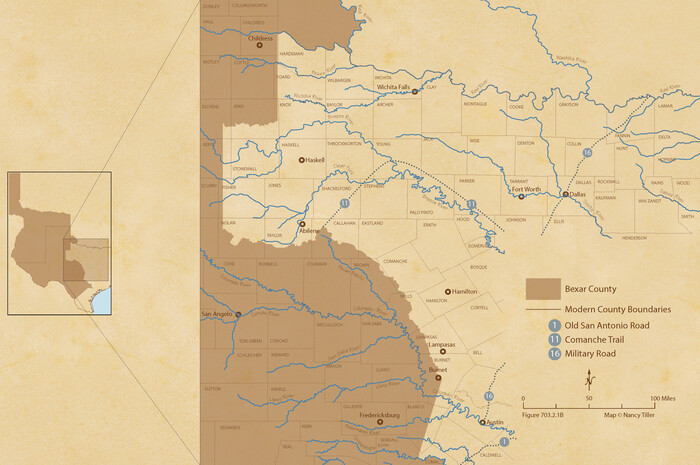
The Republic County of Bexar. North View. Proposed, Fall 1837-December 31, 1838
2020

The Republic County of Bexar. South View. Proposed, Fall 1837-December 31, 1838
2020

The Republic County of Bexar. December 31, 1838
2020

The Republic County of Bexar. November 28, 1839
2020

The Republic County of Bexar. December 2, 1841
2020

The Republic County of Bexar. January 29, 1842
2020

The Republic County of Bexar. Spring 1842
2020
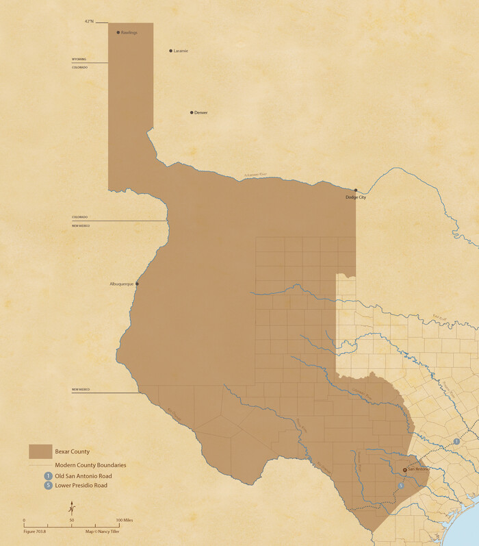
The Republic County of Bexar. December 29, 1845
2020

Bexar County Sketch File 61
2019
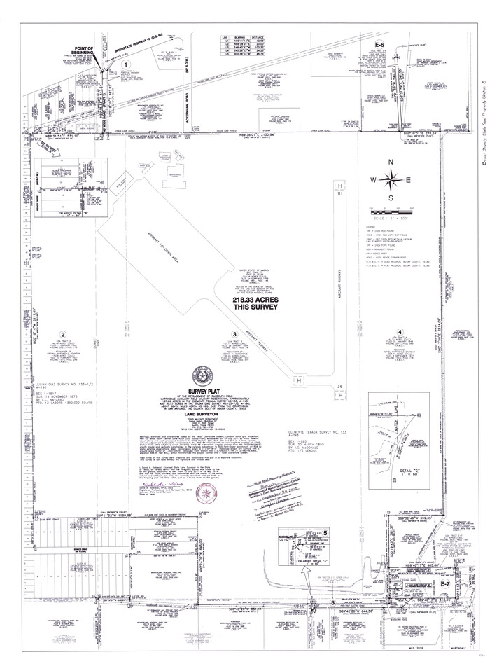
Bexar County State Real Property Sketch 5
2019
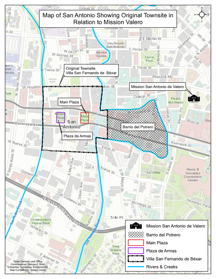
Map of San Antonio Showing Original Townsite in Relation to Mission Valero
2017
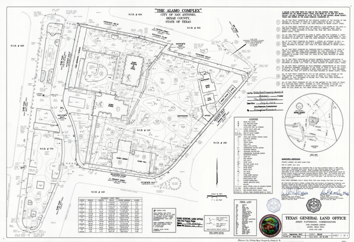
Bexar County State Real Property Sketch 4
2013

Bexar County Sketch File 60
2009
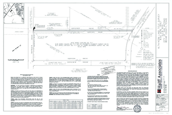
Bexar County State Real Property Sketch 6
2006

Presidio de San Antonio de Bejar
2006
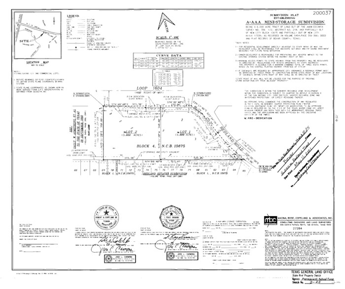
Bexar County State Real Property Sketch 3
2000
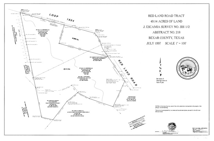
Bexar County State Real Property Sketch 2
1997
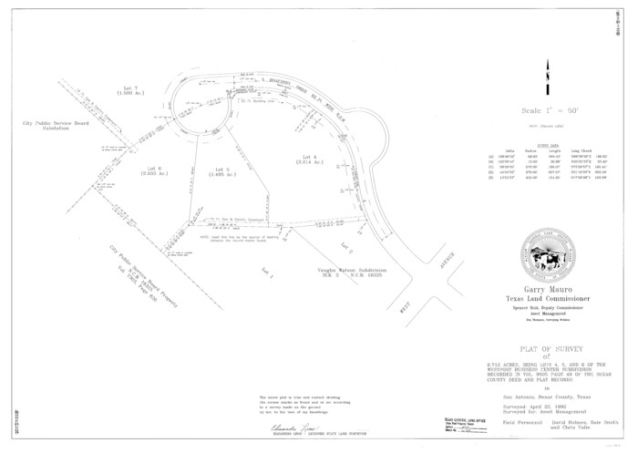
Bexar County State Real Property Sketch 1
1992

Bexar County Rolled Sketch 4B
1989
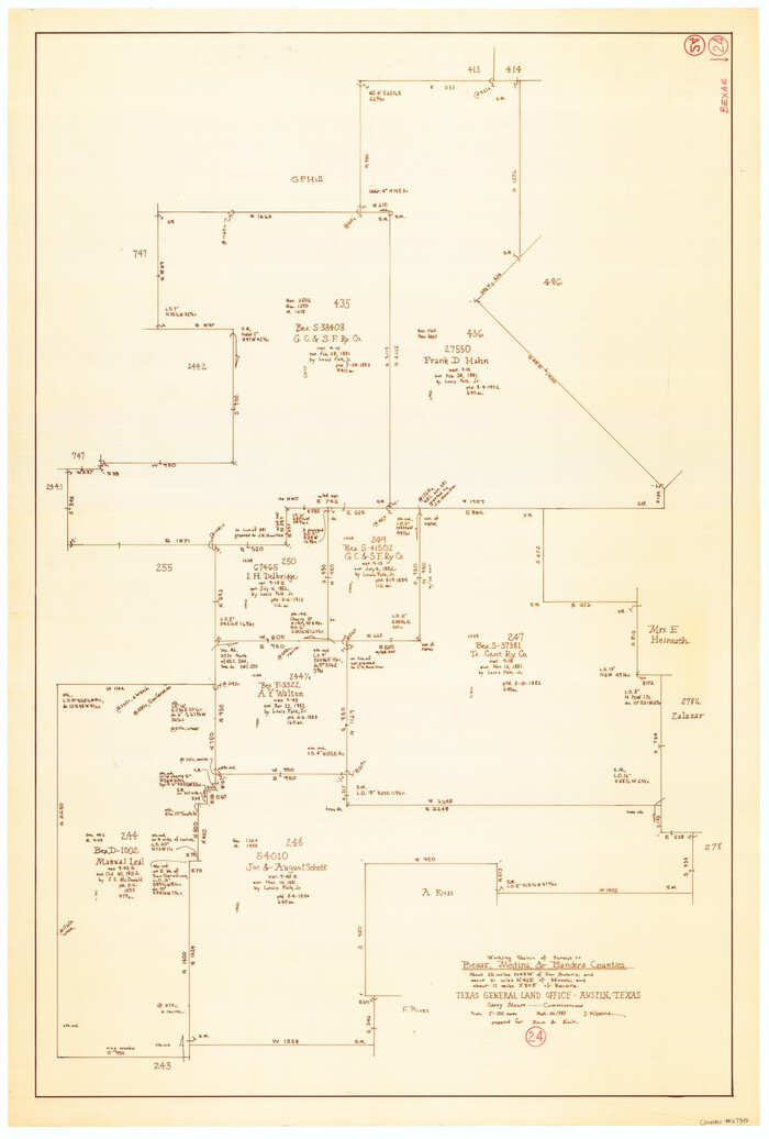
Bexar County Working Sketch 24
1989
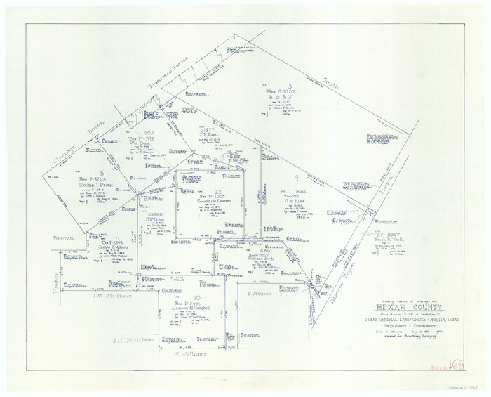
Bexar County Working Sketch 23
1987

Wilson County Working Sketch 14
1987
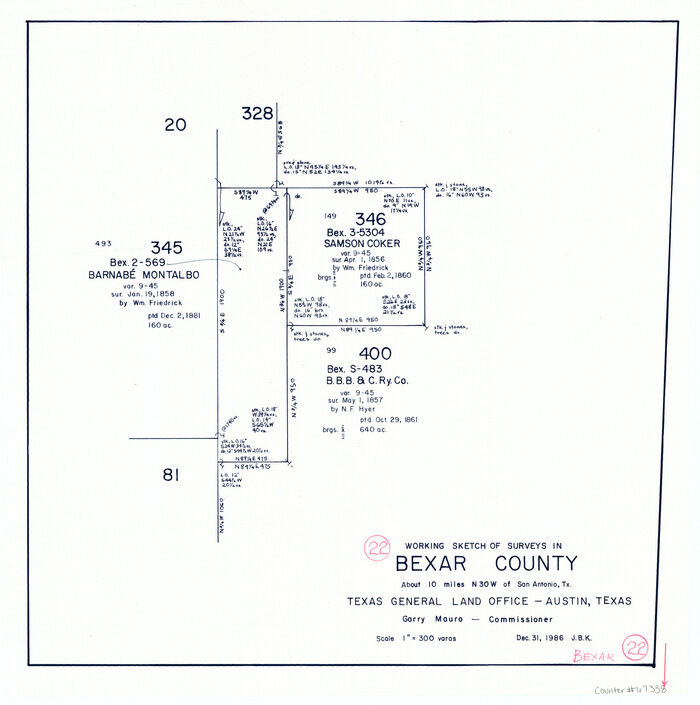
Bexar County Working Sketch 22
1986
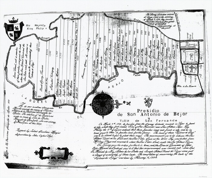
Presidio de San Antonio de Bejar y Villa de San Fernando
1986
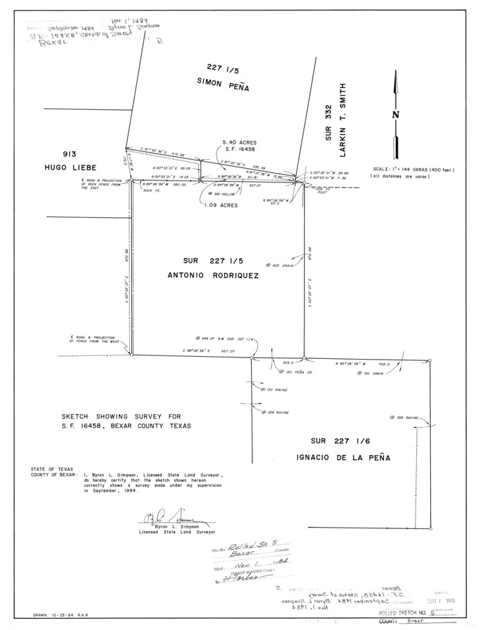
Bexar County Rolled Sketch 5
1984

The Republic County of Bexar. Proposed, Late Fall 1837
2020
-
Size
24.6 x 21.6 inches
-
Map/Doc
96093
-
Creation Date
2020

The Republic County of Bexar. North View. Proposed, Fall 1837-December 31, 1838
2020
-
Size
14.0 x 21.1 inches
-
Map/Doc
96094
-
Creation Date
2020

The Republic County of Bexar. South View. Proposed, Fall 1837-December 31, 1838
2020
-
Size
14.7 x 22.3 inches
-
Map/Doc
96095
-
Creation Date
2020

The Republic County of Bexar. December 31, 1838
2020
-
Size
24.6 x 21.6 inches
-
Map/Doc
96096
-
Creation Date
2020

The Republic County of Bexar. November 28, 1839
2020
-
Size
14.8 x 21.1 inches
-
Map/Doc
96097
-
Creation Date
2020

The Republic County of Bexar. December 2, 1841
2020
-
Size
14.8 x 21.7 inches
-
Map/Doc
96098
-
Creation Date
2020

The Republic County of Bexar. January 29, 1842
2020
-
Size
14.7 x 21.7 inches
-
Map/Doc
96099
-
Creation Date
2020

The Republic County of Bexar. Spring 1842
2020
-
Size
14.7 x 21.7 inches
-
Map/Doc
96100
-
Creation Date
2020

The Republic County of Bexar. December 29, 1845
2020
-
Size
24.6 x 21.6 inches
-
Map/Doc
96101
-
Creation Date
2020

Bexar County Sketch File 61
2019
-
Size
11.0 x 8.5 inches
-
Map/Doc
95709
-
Creation Date
2019

Bexar County State Real Property Sketch 5
2019
-
Size
48.0 x 35.8 inches
-
Map/Doc
95710
-
Creation Date
2019

Map of San Antonio Showing Original Townsite in Relation to Mission Valero
2017
-
Size
11.0 x 8.5 inches
-
Map/Doc
94244
-
Creation Date
2017

Texas Hill Country Trail Region
2017
-
Size
18.2 x 24.3 inches
-
Map/Doc
96871
-
Creation Date
2017

Bexar County State Real Property Sketch 4
2013
-
Size
25.0 x 36.5 inches
-
Map/Doc
93692
-
Creation Date
2013

Bexar County Sketch File 60
2009
-
Size
11.0 x 8.5 inches
-
Map/Doc
93669
-
Creation Date
2009

Bexar County State Real Property Sketch 6
2006
-
Size
22.2 x 33.1 inches
-
Map/Doc
96980
-
Creation Date
2006

Presidio de San Antonio de Bejar
2006
-
Size
10.8 x 16.9 inches
-
Map/Doc
87385
-
Creation Date
2006

Bexar County State Real Property Sketch 3
2000
-
Size
18.8 x 22.5 inches
-
Map/Doc
61671
-
Creation Date
2000
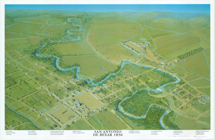
San Antonio de Bexar 1836
1999
-
Size
21.9 x 33.6 inches
-
Map/Doc
83600
-
Creation Date
1999

Bexar County State Real Property Sketch 2
1997
-
Size
25.6 x 38.7 inches
-
Map/Doc
61701
-
Creation Date
1997
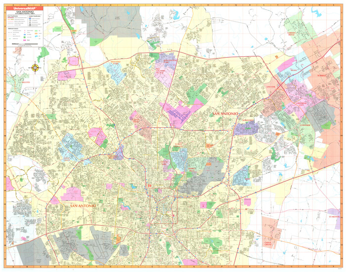
San Antonio & Surrounding Area
1997
-
Size
36.4 x 46.3 inches
-
Map/Doc
96867
-
Creation Date
1997
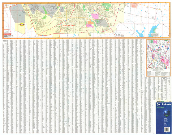
San Antonio, Texas Street Map
1997
-
Size
36.5 x 46.7 inches
-
Map/Doc
96868
-
Creation Date
1997

Bexar County State Real Property Sketch 1
1992
-
Size
30.0 x 42.2 inches
-
Map/Doc
61698
-
Creation Date
1992

Bexar County Rolled Sketch 4B
1989
-
Size
24.3 x 36.7 inches
-
Map/Doc
5139
-
Creation Date
1989

Bexar County Working Sketch 24
1989
-
Size
40.8 x 27.5 inches
-
Map/Doc
67340
-
Creation Date
1989

Bexar County Working Sketch 23
1987
-
Size
27.7 x 34.3 inches
-
Map/Doc
67339
-
Creation Date
1987

Wilson County Working Sketch 14
1987
-
Size
31.9 x 36.2 inches
-
Map/Doc
72594
-
Creation Date
1987

Bexar County Working Sketch 22
1986
-
Size
16.3 x 16.1 inches
-
Map/Doc
67338
-
Creation Date
1986

Presidio de San Antonio de Bejar y Villa de San Fernando
1986
-
Size
21.8 x 26.0 inches
-
Map/Doc
87386
-
Creation Date
1986

Bexar County Rolled Sketch 5
1984
-
Size
24.3 x 18.6 inches
-
Map/Doc
5140
-
Creation Date
1984