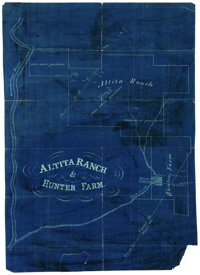
Altita Ranch & Hunter Farm

Bexar County Sketch File 9
1853

Bird's Eye View of New Braunfels, Comal County, Texas
1881
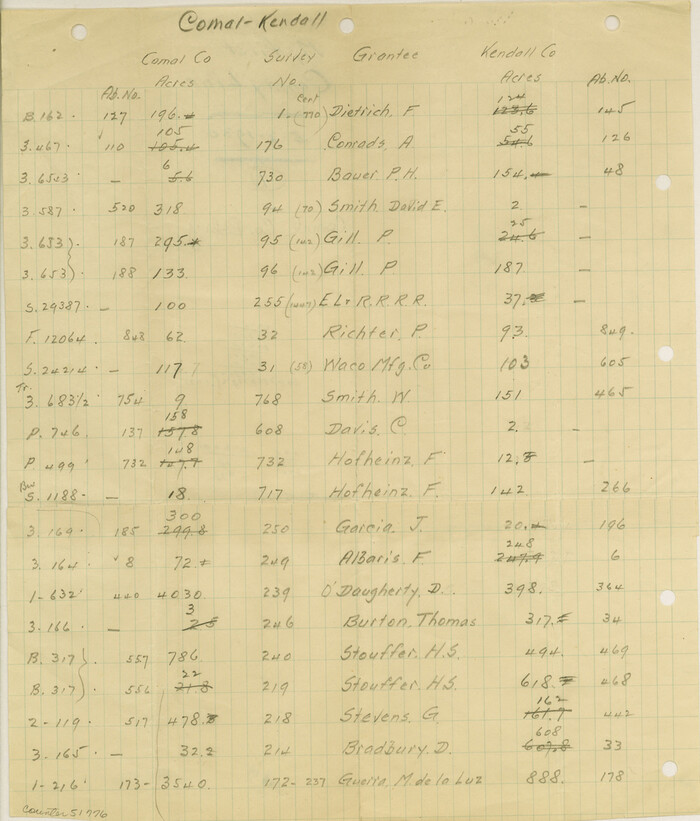
Comal County Boundary File 1
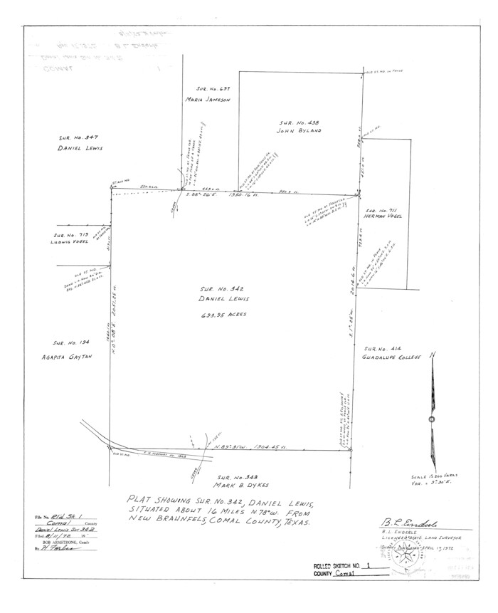
Comal County Rolled Sketch 1
1972

Comal County Rolled Sketch 2
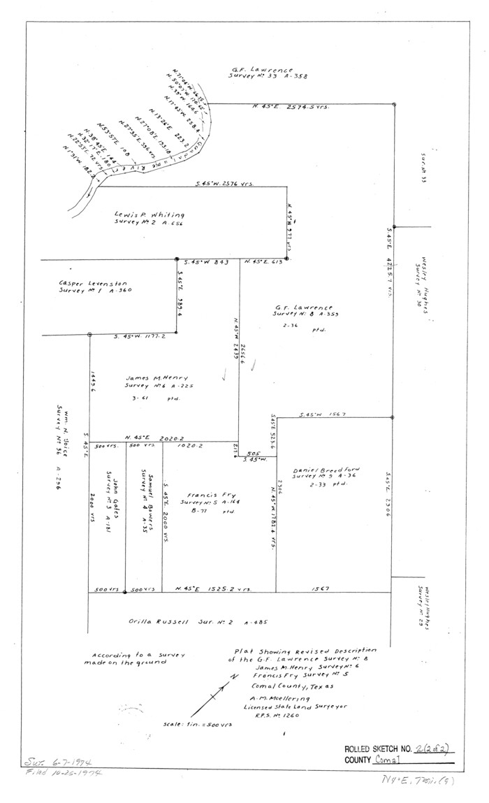
Comal County Rolled Sketch 2
1974

Comal County Rolled Sketch 3
1977
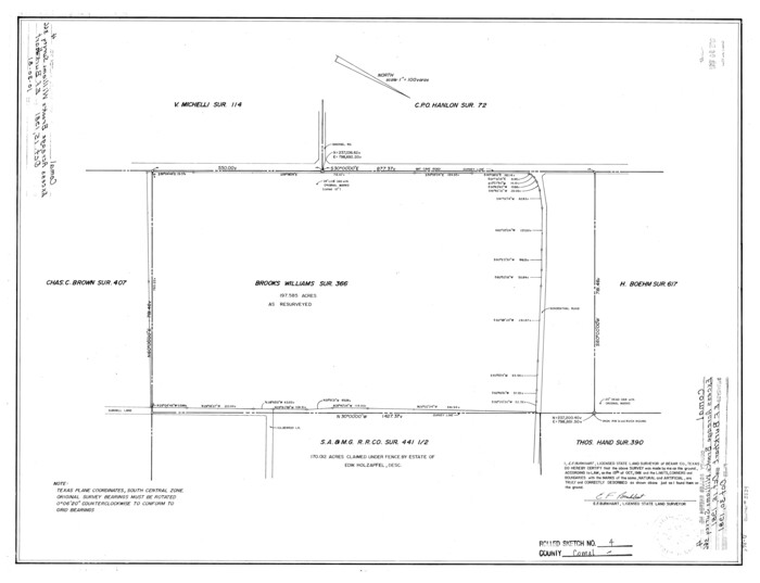
Comal County Rolled Sketch 4
1981
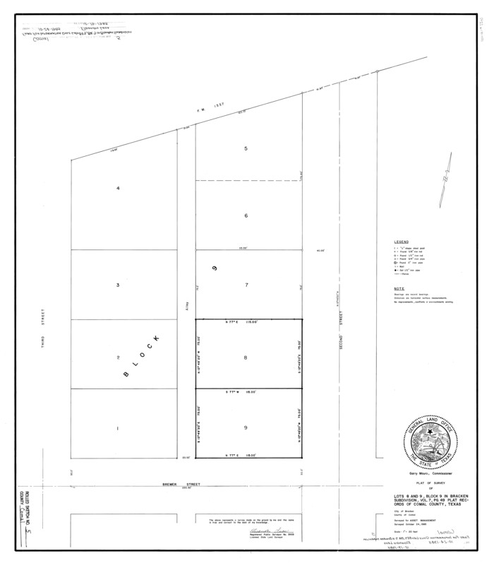
Comal County Rolled Sketch 5
1985
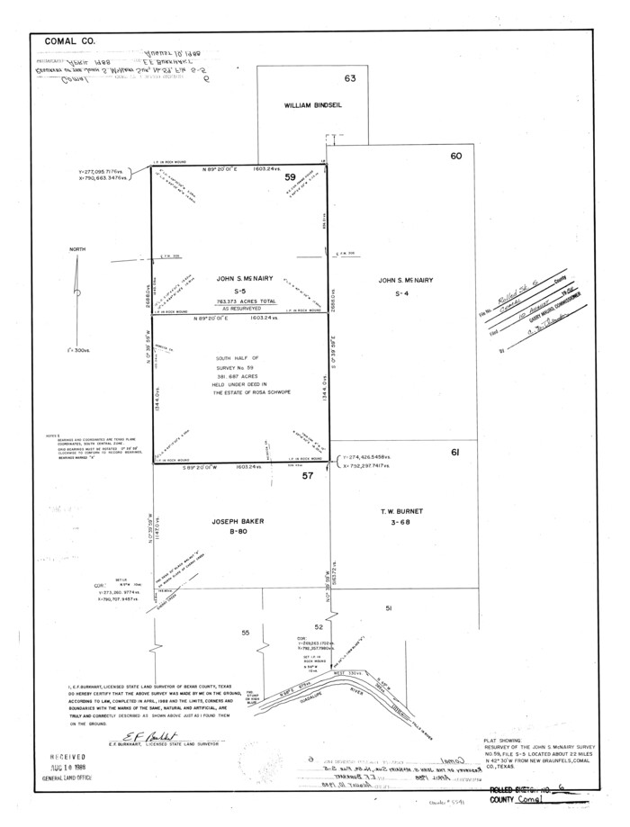
Comal County Rolled Sketch 6
1988
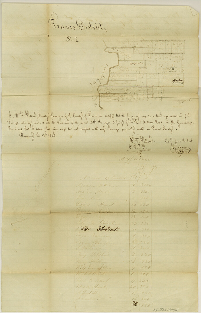
Comal County Sketch File 1
1846
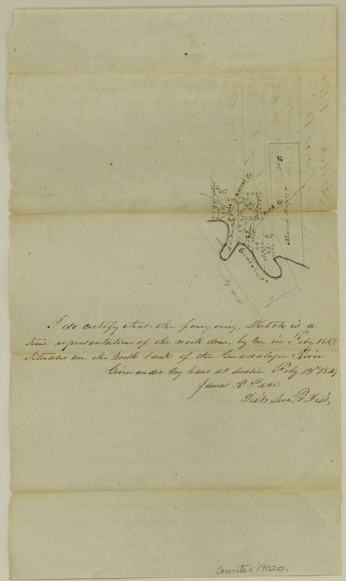
Comal County Sketch File 10
1849
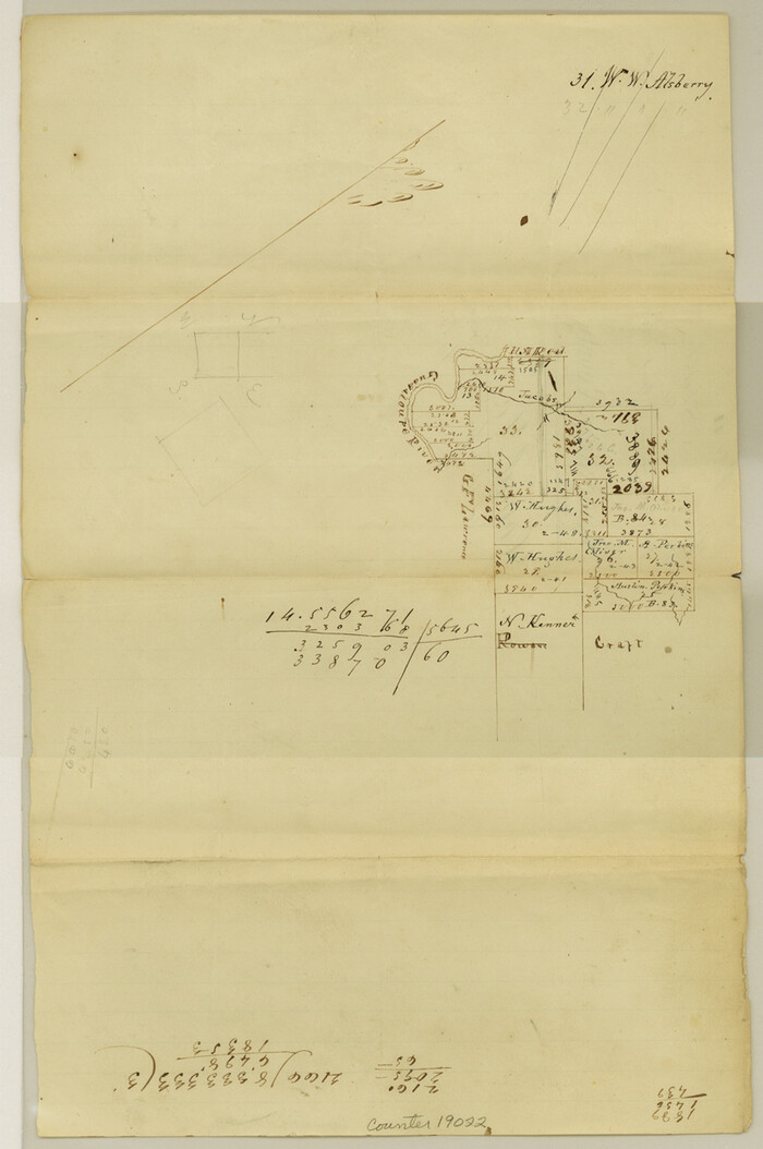
Comal County Sketch File 11
1848
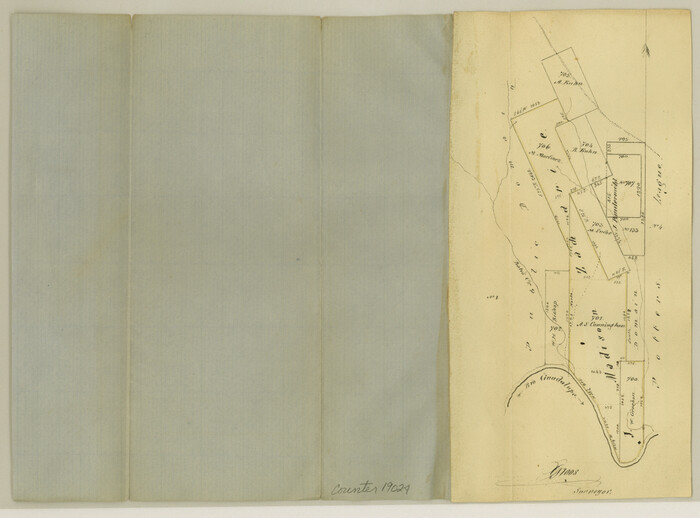
Comal County Sketch File 12

Comal County Sketch File 13
1866
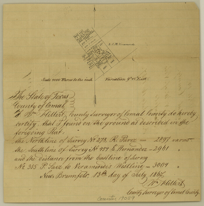
Comal County Sketch File 14
1867
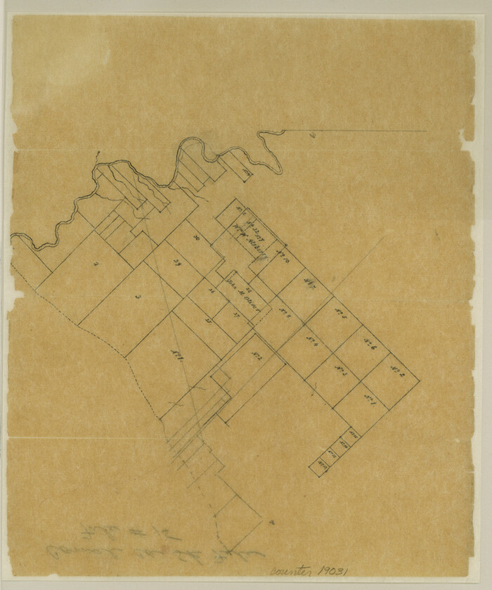
Comal County Sketch File 15
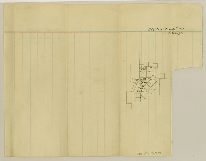
Comal County Sketch File 16
1878
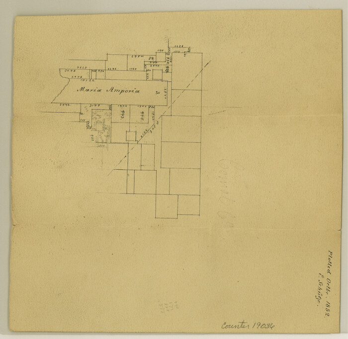
Comal County Sketch File 17
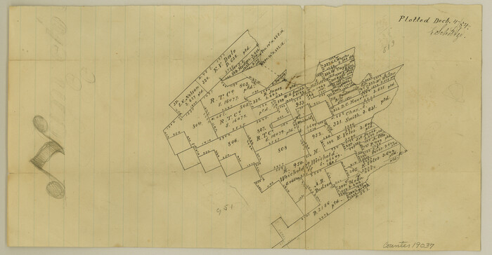
Comal County Sketch File 18
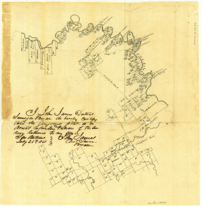
Comal County Sketch File 2
1848

Comal County Sketch File 20
1857

Comal County Sketch File 21
1950
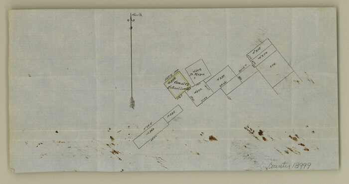
Comal County Sketch File 3
1853
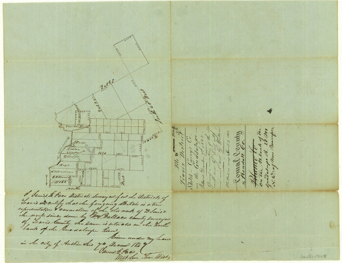
Comal County Sketch File 3b
1847

Altita Ranch & Hunter Farm
-
Size
20.2 x 15.6 inches
-
Map/Doc
492

Bexar County Sketch File 9
1853
-
Size
8.2 x 13.2 inches
-
Map/Doc
14479
-
Creation Date
1853

Bird's Eye View of New Braunfels, Comal County, Texas
1881
-
Size
17.0 x 24.1 inches
-
Map/Doc
89200
-
Creation Date
1881

Comal County
1947
-
Size
42.8 x 36.1 inches
-
Map/Doc
1806
-
Creation Date
1947
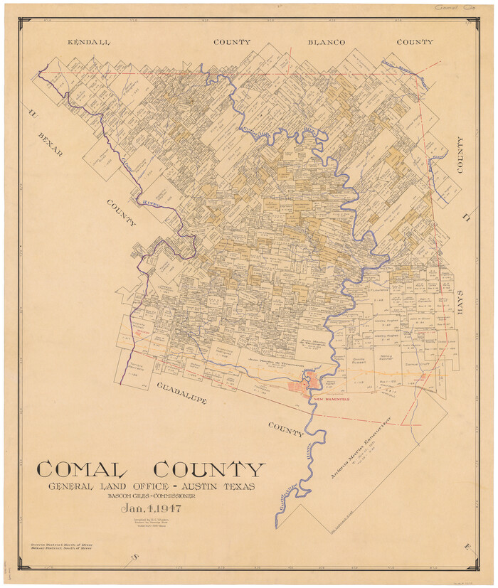
Comal County
1947
-
Size
42.6 x 36.1 inches
-
Map/Doc
73113
-
Creation Date
1947

Comal County
1947
-
Size
41.9 x 34.2 inches
-
Map/Doc
77245
-
Creation Date
1947
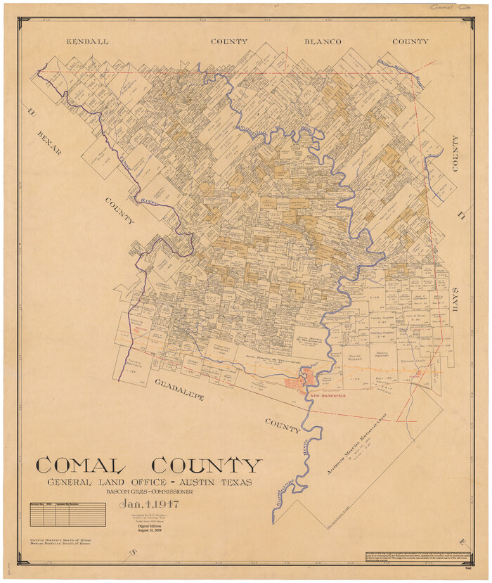
Comal County
1947
-
Size
43.3 x 36.5 inches
-
Map/Doc
95462
-
Creation Date
1947

Comal County Boundary File 1
-
Size
12.9 x 11.0 inches
-
Map/Doc
51776

Comal County Rolled Sketch 1
1972
-
Size
24.2 x 19.6 inches
-
Map/Doc
5535
-
Creation Date
1972

Comal County Rolled Sketch 2
-
Size
21.6 x 13.0 inches
-
Map/Doc
5536

Comal County Rolled Sketch 2
1974
-
Size
21.8 x 13.3 inches
-
Map/Doc
5537
-
Creation Date
1974

Comal County Rolled Sketch 3
1977
-
Size
19.0 x 17.3 inches
-
Map/Doc
5538
-
Creation Date
1977

Comal County Rolled Sketch 4
1981
-
Size
18.8 x 24.5 inches
-
Map/Doc
5539
-
Creation Date
1981

Comal County Rolled Sketch 5
1985
-
Size
30.6 x 26.7 inches
-
Map/Doc
5540
-
Creation Date
1985

Comal County Rolled Sketch 6
1988
-
Size
25.0 x 19.1 inches
-
Map/Doc
5541
-
Creation Date
1988

Comal County Sketch File 1
1846
-
Size
16.4 x 10.5 inches
-
Map/Doc
18995
-
Creation Date
1846

Comal County Sketch File 10
1849
-
Size
12.7 x 7.6 inches
-
Map/Doc
19020
-
Creation Date
1849

Comal County Sketch File 11
1848
-
Size
12.8 x 8.5 inches
-
Map/Doc
19022
-
Creation Date
1848

Comal County Sketch File 12
-
Size
8.4 x 11.3 inches
-
Map/Doc
19024

Comal County Sketch File 13
1866
-
Size
9.5 x 14.9 inches
-
Map/Doc
19026
-
Creation Date
1866

Comal County Sketch File 14
1867
-
Size
7.7 x 7.6 inches
-
Map/Doc
19029
-
Creation Date
1867

Comal County Sketch File 15
-
Size
10.3 x 8.6 inches
-
Map/Doc
19031

Comal County Sketch File 16
1878
-
Size
8.4 x 10.7 inches
-
Map/Doc
19034
-
Creation Date
1878

Comal County Sketch File 17
-
Size
8.7 x 8.9 inches
-
Map/Doc
19036

Comal County Sketch File 18
-
Size
6.7 x 13.0 inches
-
Map/Doc
19037

Comal County Sketch File 2
1848
-
Size
13.7 x 13.3 inches
-
Map/Doc
18997
-
Creation Date
1848

Comal County Sketch File 20
1857
-
Size
12.4 x 8.1 inches
-
Map/Doc
19039
-
Creation Date
1857

Comal County Sketch File 21
1950
-
Size
9.1 x 11.4 inches
-
Map/Doc
19041
-
Creation Date
1950

Comal County Sketch File 3
1853
-
Size
4.4 x 8.4 inches
-
Map/Doc
18999
-
Creation Date
1853

Comal County Sketch File 3b
1847
-
Size
12.4 x 16.1 inches
-
Map/Doc
19003
-
Creation Date
1847