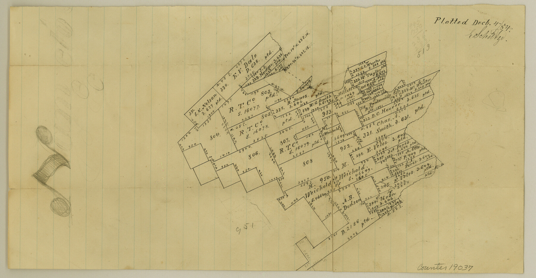
Comal County Sketch File 18
[Sketch northwest of New Braunfels]
-
Map/Doc
19037
-
Collection
General Map Collection
-
Object Dates
1884/12/4 (File Date)
-
People and Organizations
E. Schutze (Draftsman)
-
Counties
Comal
-
Subjects
Surveying Sketch File
-
Height x Width
6.7 x 13.0 inches
17.0 x 33.0 cm
-
Medium
paper, manuscript
Part of: General Map Collection
Shackelford County Boundary File 7a

Print $9.00
- Digital $50.00
Shackelford County Boundary File 7a
Size 14.9 x 9.4 inches
Map/Doc 58689
Map of La Salle County

Print $20.00
- Digital $50.00
Map of La Salle County
1879
Size 26.2 x 25.3 inches
Map/Doc 3799
Texas & Pacific Railway, Longview to Dallas

Print $40.00
- Digital $50.00
Texas & Pacific Railway, Longview to Dallas
1873
Size 14.8 x 100.8 inches
Map/Doc 64099
Coke County Working Sketch 15

Print $20.00
- Digital $50.00
Coke County Working Sketch 15
1948
Size 25.7 x 21.7 inches
Map/Doc 68052
Flight Mission No. DAH-9M, Frame 83, Orange County

Print $20.00
- Digital $50.00
Flight Mission No. DAH-9M, Frame 83, Orange County
1953
Size 18.5 x 22.3 inches
Map/Doc 86847
Terry County Sketch File 10

Print $20.00
- Digital $50.00
Terry County Sketch File 10
Size 10.8 x 43.2 inches
Map/Doc 10394
Collin County Working Sketch 1

Print $20.00
- Digital $50.00
Collin County Working Sketch 1
1921
Size 26.6 x 23.4 inches
Map/Doc 68095

Marion County Rolled Sketch JMR

Print $20.00
- Digital $50.00
Marion County Rolled Sketch JMR
1954
Size 36.6 x 39.3 inches
Map/Doc 9489
Kimble County Working Sketch 46

Print $20.00
- Digital $50.00
Kimble County Working Sketch 46
1951
Size 29.3 x 18.9 inches
Map/Doc 70114
Gregg County Working Sketch 23

Print $20.00
- Digital $50.00
Gregg County Working Sketch 23
1982
Size 20.2 x 42.2 inches
Map/Doc 63290
Somervell County

Print $20.00
- Digital $50.00
Somervell County
1941
Size 28.1 x 26.1 inches
Map/Doc 73291
You may also like
General Highway Map, Medina County, Texas

Print $20.00
General Highway Map, Medina County, Texas
1940
Size 18.3 x 24.5 inches
Map/Doc 79194
Map of Texas with population and location of principal towns and cities according to latest reliable statistics

Print $20.00
- Digital $50.00
Map of Texas with population and location of principal towns and cities according to latest reliable statistics
1921
Size 19.0 x 22.2 inches
Map/Doc 94066
Schleicher County Sketch File 29

Print $44.00
- Digital $50.00
Schleicher County Sketch File 29
1940
Size 31.9 x 23.7 inches
Map/Doc 12306
Hamilton County Sketch File C

Print $6.00
- Digital $50.00
Hamilton County Sketch File C
Size 12.4 x 11.0 inches
Map/Doc 24950
Brewster County Working Sketch 85

Print $20.00
- Digital $50.00
Brewster County Working Sketch 85
1973
Size 43.2 x 34.0 inches
Map/Doc 67685
Sketch Showing Block 142, Original Town, Survey 1, Block O

Print $20.00
- Digital $50.00
Sketch Showing Block 142, Original Town, Survey 1, Block O
Size 23.0 x 18.0 inches
Map/Doc 92782
Brewster County Rolled Sketch 114

Print $20.00
- Digital $50.00
Brewster County Rolled Sketch 114
1964
Size 11.8 x 18.5 inches
Map/Doc 5264
Portion of Pecos County

Print $20.00
- Digital $50.00
Portion of Pecos County
Size 18.8 x 21.6 inches
Map/Doc 91589
R. C. Johnson Farm NW Quarter, Section 3

Print $20.00
- Digital $50.00
R. C. Johnson Farm NW Quarter, Section 3
Size 12.3 x 14.9 inches
Map/Doc 92405
Trinity County Working Sketch 23

Print $20.00
- Digital $50.00
Trinity County Working Sketch 23
2010
Size 23.4 x 33.6 inches
Map/Doc 89259
Aransas County Aerial Photograph Index Sheet 1

Print $20.00
- Digital $50.00
Aransas County Aerial Photograph Index Sheet 1
1957
Size 22.9 x 18.2 inches
Map/Doc 83659
San Patricio County Rolled Sketch 55

Print $20.00
- Digital $50.00
San Patricio County Rolled Sketch 55
1999
Size 25.1 x 36.7 inches
Map/Doc 7741