La Salle County Sketch File 2

Print $14.00
- Digital $50.00
La Salle County Sketch File 2
1857
Size: 10.1 x 15.5 inches
29445
[Map of Encinal County]
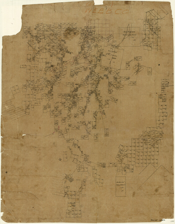
Print $20.00
- Digital $50.00
[Map of Encinal County]
1872
Size: 27.9 x 21.9 inches
3517
Map of Encinal County

Print $20.00
- Digital $50.00
Map of Encinal County
1872
Size: 30.5 x 20.3 inches
3513
Survey and Location of the Corpus Christi & Rio Grande Railway Under Charter of May 24th 1873

Print $40.00
- Digital $50.00
Survey and Location of the Corpus Christi & Rio Grande Railway Under Charter of May 24th 1873
1874
Size: 12.5 x 58.7 inches
64092
La Salle County Sketch File 10

Print $4.00
- Digital $50.00
La Salle County Sketch File 10
1877
Size: 9.0 x 7.0 inches
42997
La Salle County Sketch File 24

Print $4.00
- Digital $50.00
La Salle County Sketch File 24
1877
Size: 9.2 x 6.1 inches
29547
La Salle County Sketch File 12

Print $15.00
- Digital $50.00
La Salle County Sketch File 12
1877
Size: 10.0 x 8.1 inches
29470
Map of Encinal County

Print $20.00
- Digital $50.00
Map of Encinal County
1878
Size: 32.8 x 22.7 inches
3514
Map of Encinal County, Texas

Print $20.00
- Digital $50.00
Map of Encinal County, Texas
1879
Size: 22.7 x 28.4 inches
715
La Salle County Sketch File 2
Print $14.00
- Digital $50.00
La Salle County Sketch File 2
1857
-
Size
10.1 x 15.5 inches
-
Map/Doc
29445
-
Creation Date
1857
[Map of Encinal County]
Print $20.00
- Digital $50.00
[Map of Encinal County]
1872
-
Size
27.9 x 21.9 inches
-
Map/Doc
3517
-
Creation Date
1872
Map of Encinal County
Print $20.00
- Digital $50.00
Map of Encinal County
1872
-
Size
30.5 x 20.3 inches
-
Map/Doc
3513
-
Creation Date
1872
Survey and Location of the Corpus Christi & Rio Grande Railway Under Charter of May 24th 1873
Print $40.00
- Digital $50.00
Survey and Location of the Corpus Christi & Rio Grande Railway Under Charter of May 24th 1873
1874
-
Size
12.5 x 58.7 inches
-
Map/Doc
64092
-
Creation Date
1874
La Salle County Sketch File 10
Print $4.00
- Digital $50.00
La Salle County Sketch File 10
1877
-
Size
9.0 x 7.0 inches
-
Map/Doc
42997
-
Creation Date
1877
La Salle County Sketch File 24
Print $4.00
- Digital $50.00
La Salle County Sketch File 24
1877
-
Size
9.2 x 6.1 inches
-
Map/Doc
29547
-
Creation Date
1877
La Salle County Sketch File 12
Print $15.00
- Digital $50.00
La Salle County Sketch File 12
1877
-
Size
10.0 x 8.1 inches
-
Map/Doc
29470
-
Creation Date
1877
Map of Encinal County
Print $20.00
- Digital $50.00
Map of Encinal County
1878
-
Size
32.8 x 22.7 inches
-
Map/Doc
3514
-
Creation Date
1878
Map of Encinal County, Texas
Print $20.00
- Digital $50.00
Map of Encinal County, Texas
1879
-
Size
22.7 x 28.4 inches
-
Map/Doc
715
-
Creation Date
1879
Encinal County

Print $20.00
- Digital $50.00
Encinal County
1886
-
Size
32.2 x 23.6 inches
-
Map/Doc
3518
-
Creation Date
1886
Encinal County

Print $20.00
- Digital $50.00
Encinal County
1886
-
Size
32.7 x 22.4 inches
-
Map/Doc
3515
-
Creation Date
1886
Encinal County

Print $20.00
- Digital $50.00
Encinal County
1895
-
Size
34.4 x 24.0 inches
-
Map/Doc
3516
-
Creation Date
1895