[Map of Encinal County]
-
Map/Doc
3517
-
Collection
General Map Collection
-
Object Dates
[1872 ca.] (Creation Date)
-
Counties
Encinal
-
Subjects
County
-
Height x Width
27.9 x 21.9 inches
70.9 x 55.6 cm
-
Features
Arroyo de la Coma
Arroyo Azul
Piedreta Creek
Albria Bonita Creek
Parida Creek
Mugerera Creek
La Bacerra Creek
Abra de Don Juan Creek
Torquecillas Creek
El Pato Creek
San Juanita Creek
Alamito Creek
Prieto Road
Quicerato Creek
Funaja Creek
Retama Gorda Creek
Arroyo Juanito
Laredo Road
Retama Creek
El Nido
Old Road
Palo Blanco Creek
La Parida Creek
Maguejitos Creek
Cochino Creek
Olmos Creek
Venado Creek
Machos Creek
Jaboncillas Creek
Rancherias Creek
Salado Creek
Antonita Creek
Volanta Creek
Prieto Creek
Las Tinas Creek
La Palito Blanco Creek
Mamito Creek
Carricitas Creek
El Gato Creek
Pintas Road
Part of: General Map Collection
Gaines County Working Sketch 17
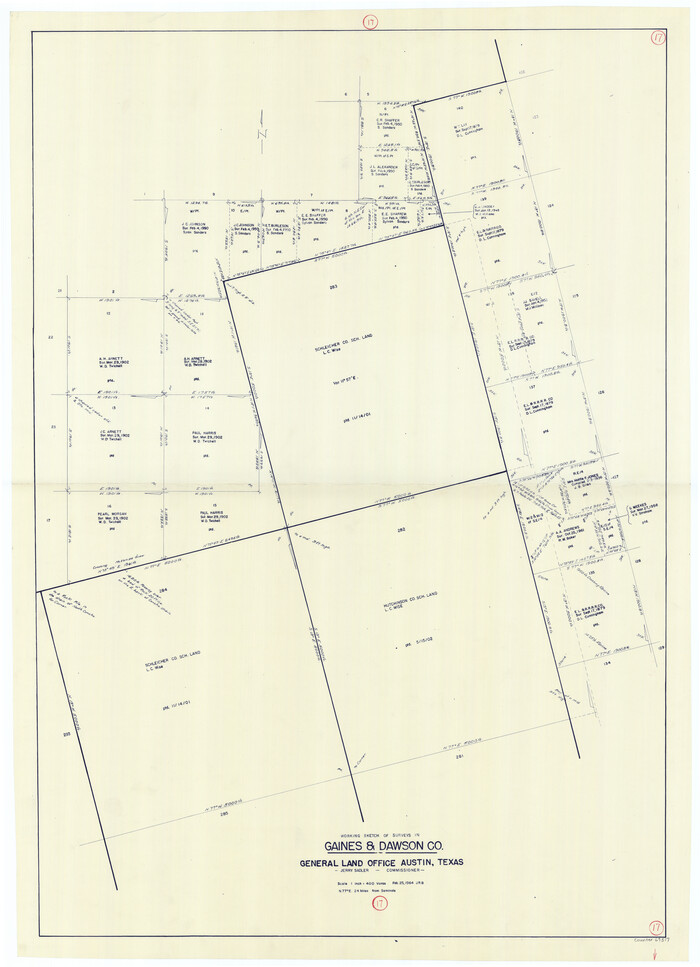

Print $20.00
- Digital $50.00
Gaines County Working Sketch 17
1964
Size 47.6 x 34.5 inches
Map/Doc 69317
United States Gulf Coast - from Galveston to the Rio Grande


Print $20.00
- Digital $50.00
United States Gulf Coast - from Galveston to the Rio Grande
1915
Size 26.6 x 18.3 inches
Map/Doc 72734
Brewster County Rolled Sketch 20
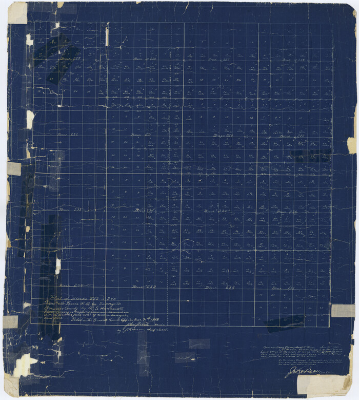

Print $20.00
- Digital $50.00
Brewster County Rolled Sketch 20
Size 31.4 x 28.2 inches
Map/Doc 5199
Jack County Working Sketch 10
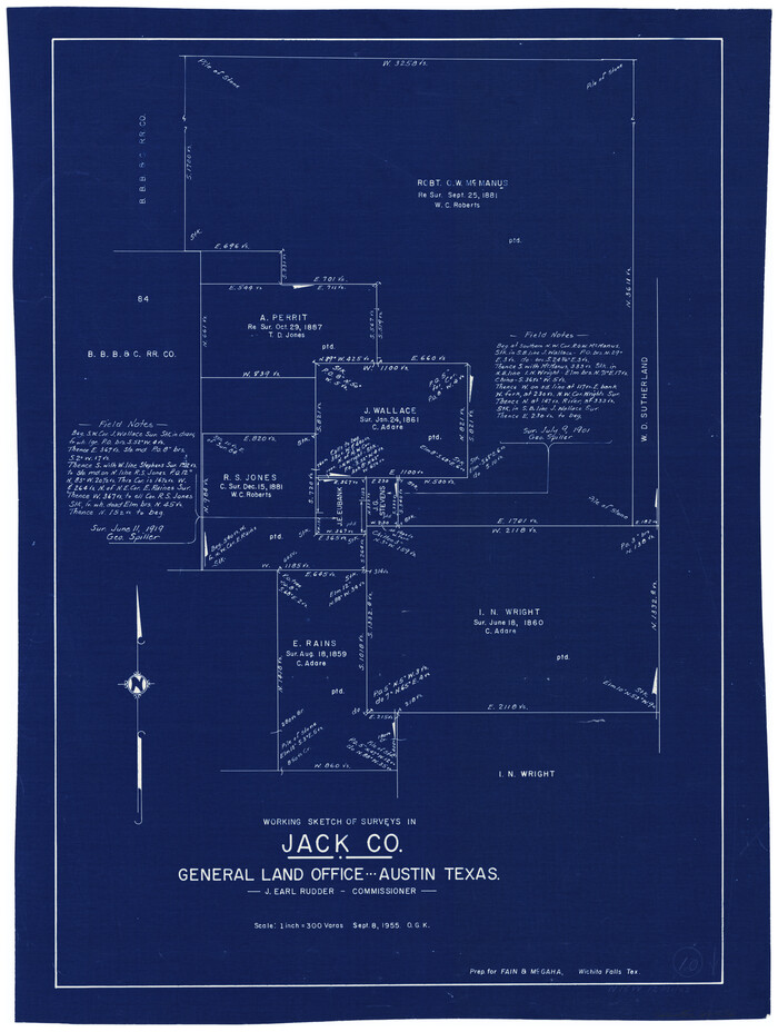

Print $20.00
- Digital $50.00
Jack County Working Sketch 10
1955
Size 24.4 x 18.6 inches
Map/Doc 66436
Johnson County Sketch File 24
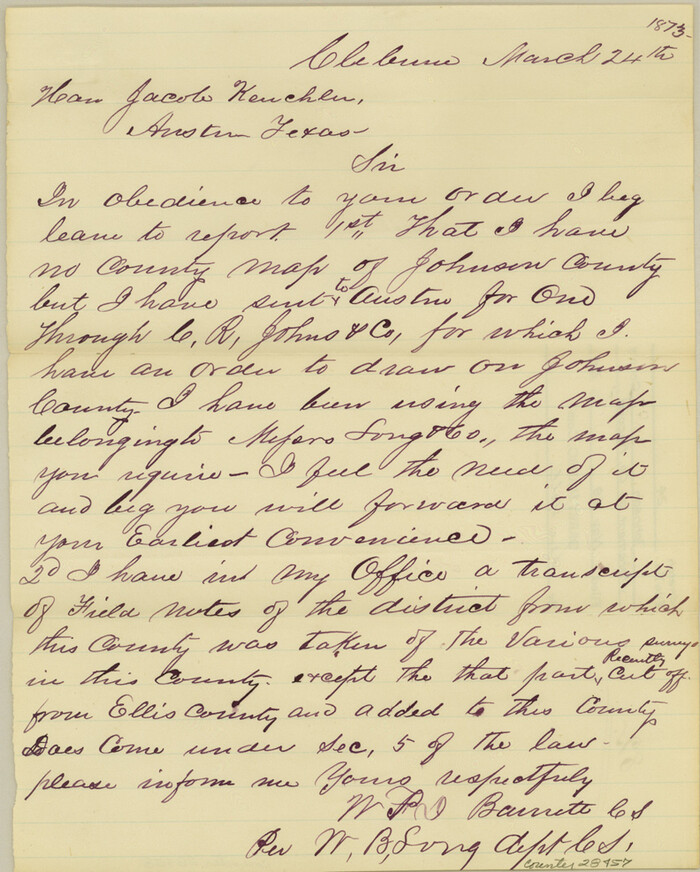

Print $4.00
- Digital $50.00
Johnson County Sketch File 24
1873
Size 9.9 x 7.9 inches
Map/Doc 28457
Bell County Sketch File 15


Print $4.00
- Digital $50.00
Bell County Sketch File 15
1861
Size 6.4 x 8.0 inches
Map/Doc 14394
Hockley County Boundary File 5
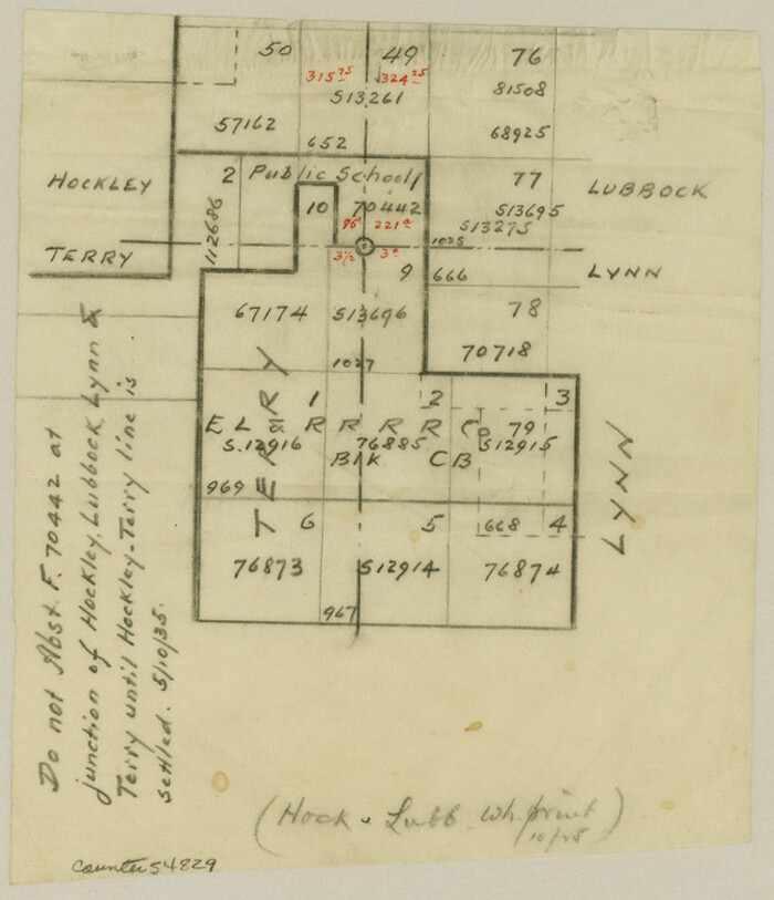

Print $42.00
- Digital $50.00
Hockley County Boundary File 5
Size 6.8 x 5.8 inches
Map/Doc 54829
Palo Pinto County Sketch File 4


Print $4.00
- Digital $50.00
Palo Pinto County Sketch File 4
1870
Size 8.2 x 12.9 inches
Map/Doc 33394
Freestone County Working Sketch 25
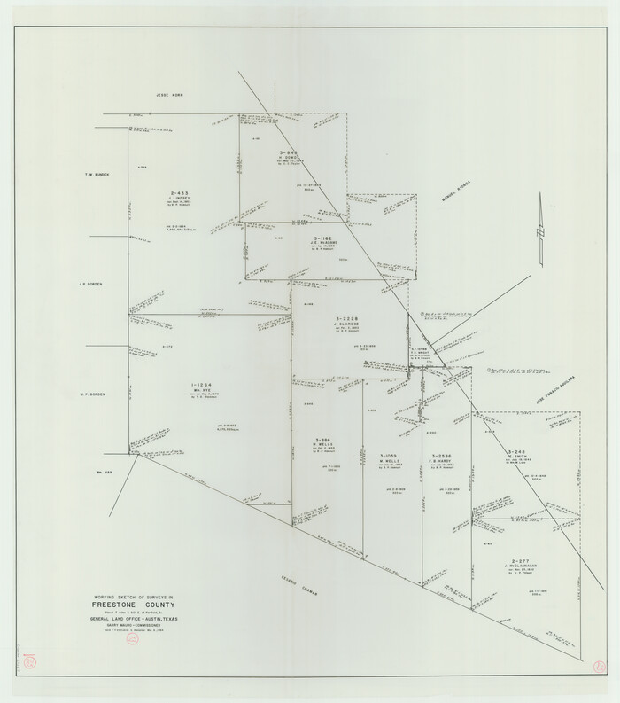

Print $20.00
- Digital $50.00
Freestone County Working Sketch 25
1984
Size 43.5 x 38.4 inches
Map/Doc 69267
Terrell County Sketch File 25A
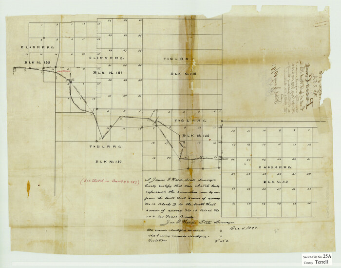

Print $20.00
- Digital $50.00
Terrell County Sketch File 25A
1890
Size 16.9 x 21.5 inches
Map/Doc 12424
Travis County Sketch File 13
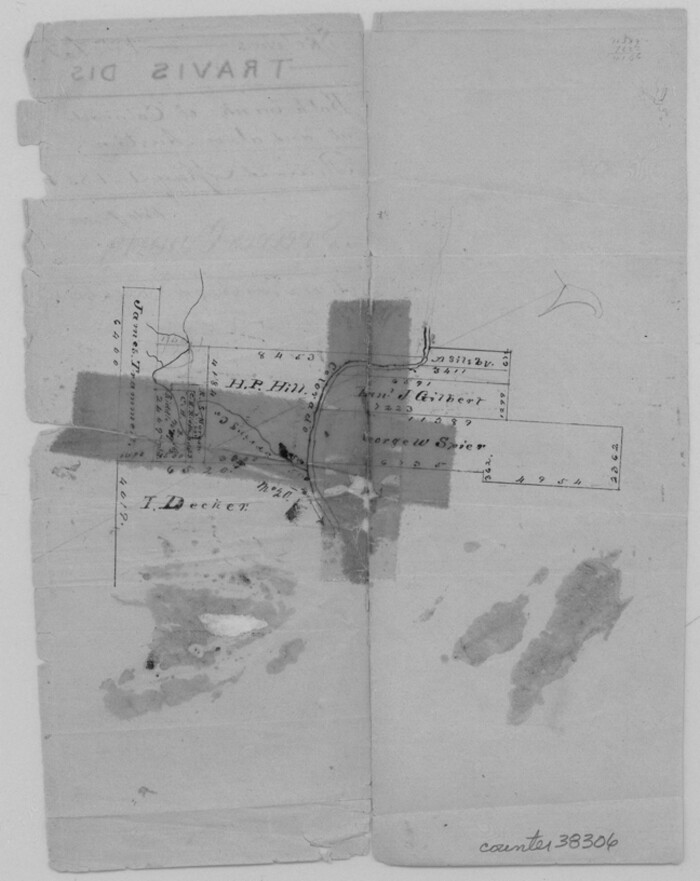

Print $4.00
- Digital $50.00
Travis County Sketch File 13
1858
Size 8.2 x 6.5 inches
Map/Doc 38306
Crosby County Sketch File 32


Print $20.00
- Digital $50.00
Crosby County Sketch File 32
1938
Size 23.2 x 31.8 inches
Map/Doc 11258
You may also like
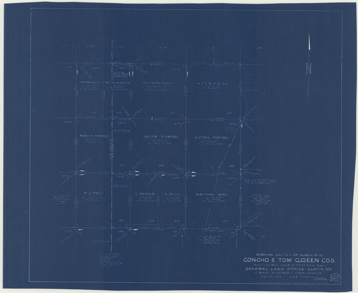
Concho County Working Sketch 15

Print $20.00
- Digital $50.00
Concho County Working Sketch 15
1955
Size 25.2 x 30.8 inches
Map/Doc 68197
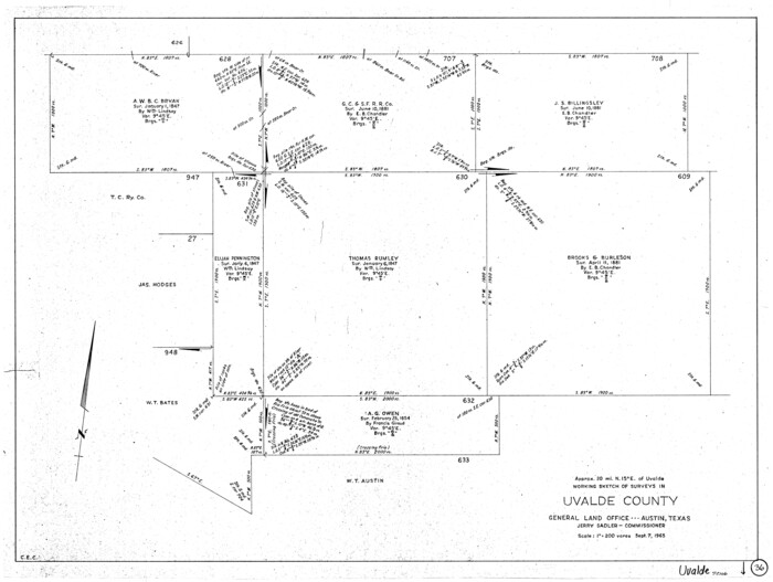
Uvalde County Working Sketch 36

Print $20.00
- Digital $50.00
Uvalde County Working Sketch 36
1965
Size 24.8 x 32.9 inches
Map/Doc 72106
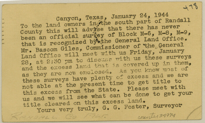
Randall County Sketch File 11

Print $4.00
- Digital $50.00
Randall County Sketch File 11
1944
Size 3.4 x 5.7 inches
Map/Doc 34974
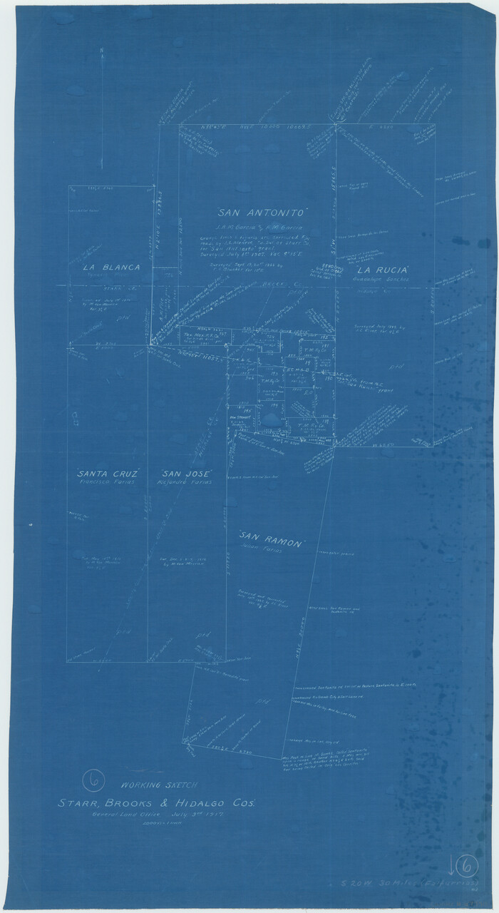
Brooks County Working Sketch 6

Print $20.00
- Digital $50.00
Brooks County Working Sketch 6
1917
Size 28.6 x 15.7 inches
Map/Doc 67790
Starr County Working Sketch 27


Print $20.00
- Digital $50.00
Starr County Working Sketch 27
1994
Size 29.6 x 30.3 inches
Map/Doc 63943
Hall County Sketch File 32

Print $14.00
- Digital $50.00
Hall County Sketch File 32
1911
Size 11.2 x 8.8 inches
Map/Doc 24839
Map of the Fort Worth & Denver City Railway, Hartley County, Texas


Print $40.00
- Digital $50.00
Map of the Fort Worth & Denver City Railway, Hartley County, Texas
1887
Size 21.9 x 89.8 inches
Map/Doc 64390
Right of Way and Track Map, The Missouri, Kansas and Texas Ry. of Texas operated by the Missouri, Kansas and Texas Ry. of Texas, Henrietta Division

Print $40.00
- Digital $50.00
Right of Way and Track Map, The Missouri, Kansas and Texas Ry. of Texas operated by the Missouri, Kansas and Texas Ry. of Texas, Henrietta Division
1918
Size 25.4 x 57.2 inches
Map/Doc 64073
Navigation District Property Map, Port of Houston, Harris County Houston Ship Channel Navigation District, Houston, Texas


Print $40.00
- Digital $50.00
Navigation District Property Map, Port of Houston, Harris County Houston Ship Channel Navigation District, Houston, Texas
1955
Size 26.9 x 68.7 inches
Map/Doc 2103
Flight Mission No. CRC-2R, Frame 134, Chambers County


Print $20.00
- Digital $50.00
Flight Mission No. CRC-2R, Frame 134, Chambers County
1956
Size 18.6 x 22.3 inches
Map/Doc 84750
Map of Hidalgo County

Print $20.00
- Digital $50.00
Map of Hidalgo County
1896
Size 44.9 x 25.5 inches
Map/Doc 4684
San Patricio County Rolled Sketch 36

Print $40.00
- Digital $50.00
San Patricio County Rolled Sketch 36
Size 42.3 x 48.1 inches
Map/Doc 9899
![3517, [Map of Encinal County], General Map Collection](https://historictexasmaps.com/wmedia_w1800h1800/maps/3517-1.tif.jpg)