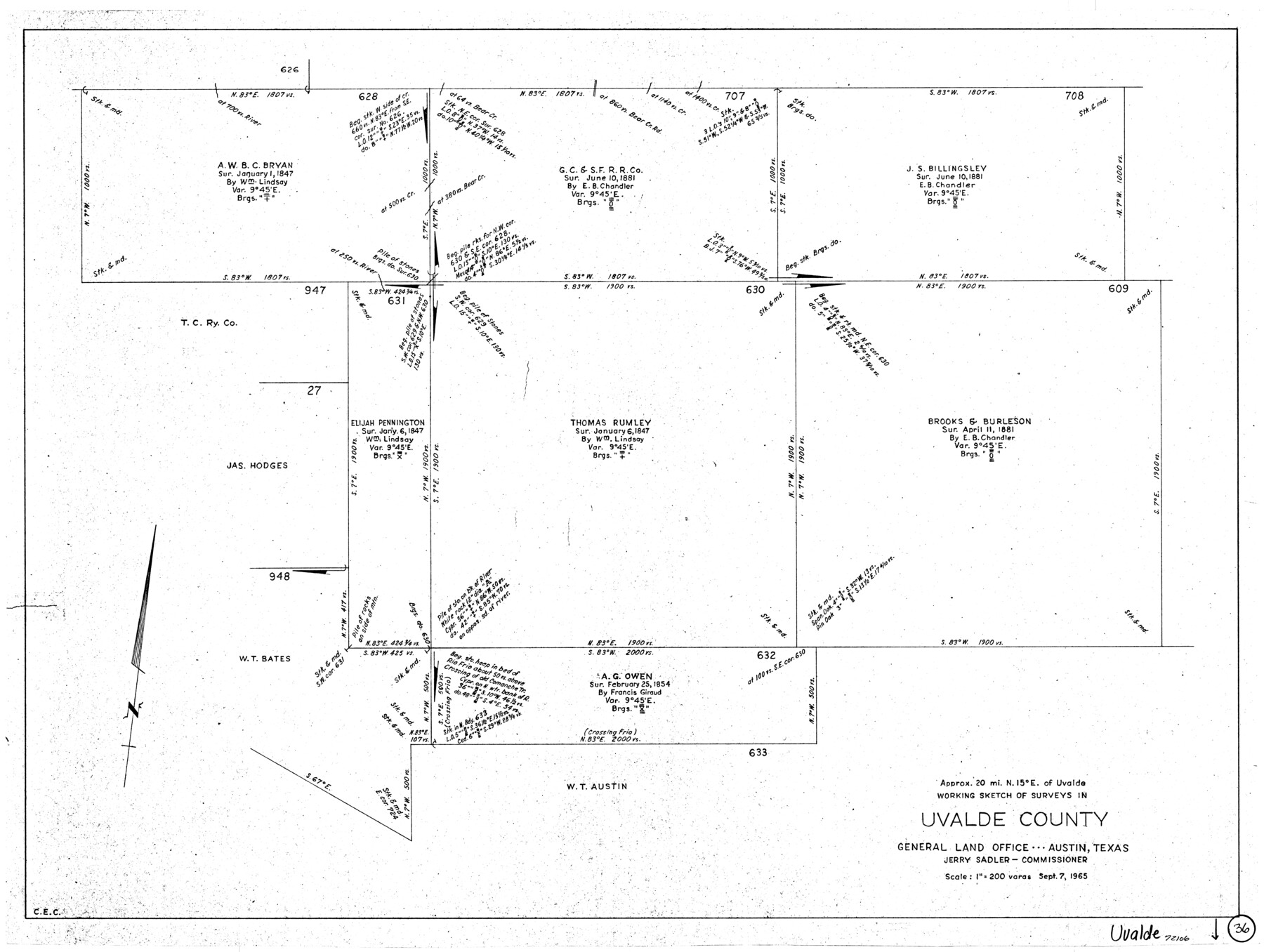
Uvalde County Working Sketch 36
-
Map/Doc
72106
-
Collection
General Map Collection
-
Object Dates
9/7/1965 (Creation Date)
-
Counties
Uvalde
-
Subjects
Surveying Working Sketch
-
Height x Width
24.8 x 32.9 inches
63.0 x 83.6 cm
-
Scale
1" = 200 varas
Part of: General Map Collection
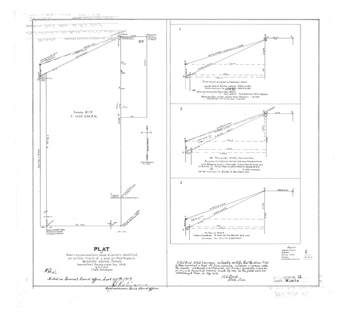
Wichita County Rolled Sketch 12

Print $20.00
- Digital $50.00
Wichita County Rolled Sketch 12
Size 20.2 x 22.3 inches
Map/Doc 8249
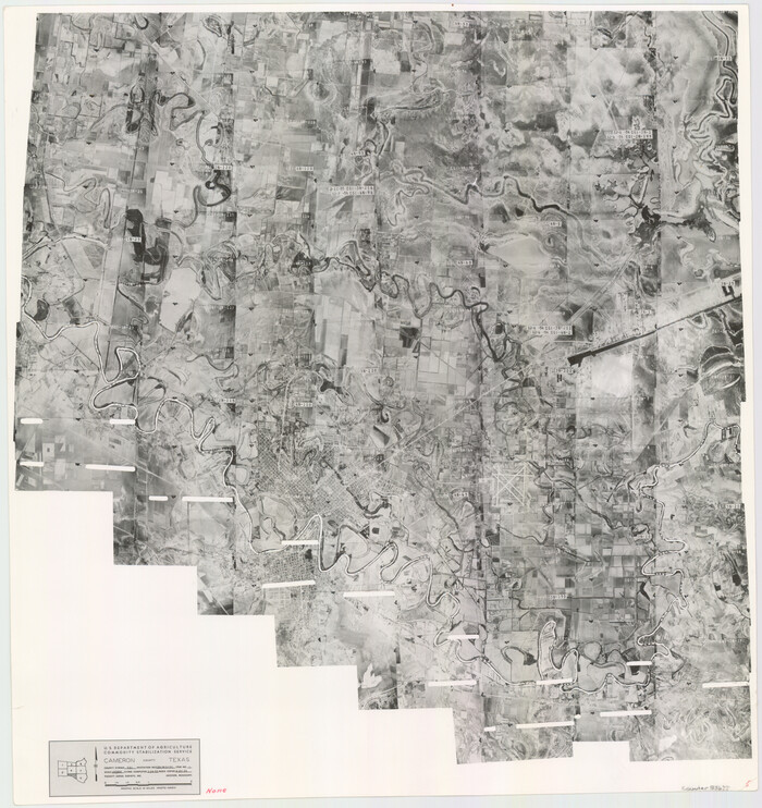
Cameron County Aerial Photograph Index Sheet 5

Print $20.00
- Digital $50.00
Cameron County Aerial Photograph Index Sheet 5
1955
Size 18.8 x 17.8 inches
Map/Doc 83677
Hardin County Rolled Sketch 18


Print $20.00
- Digital $50.00
Hardin County Rolled Sketch 18
1953
Size 35.8 x 24.4 inches
Map/Doc 6088
Harris County Rolled Sketch P58
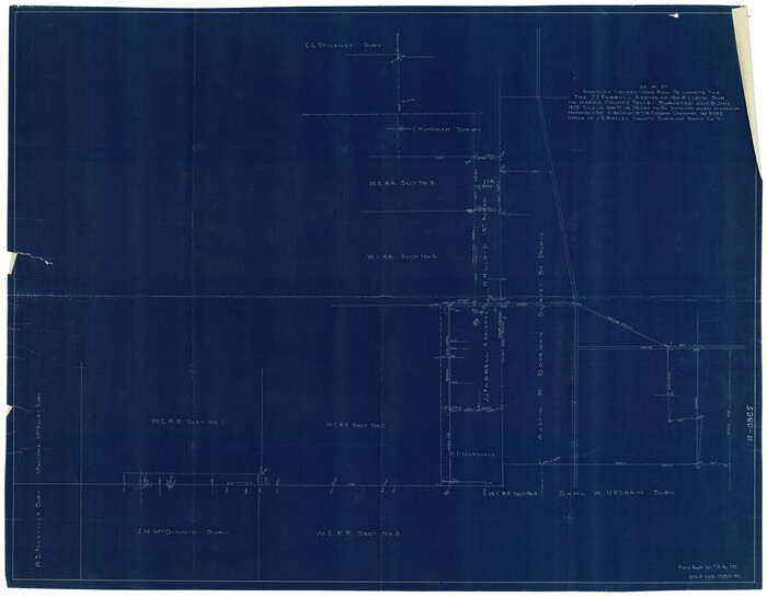

Print $20.00
- Digital $50.00
Harris County Rolled Sketch P58
1929
Size 29.4 x 37.7 inches
Map/Doc 9119
Reeves County Rolled Sketch P


Print $20.00
- Digital $50.00
Reeves County Rolled Sketch P
Size 33.2 x 29.2 inches
Map/Doc 9847
Laguna Madre, Register No. 1476A
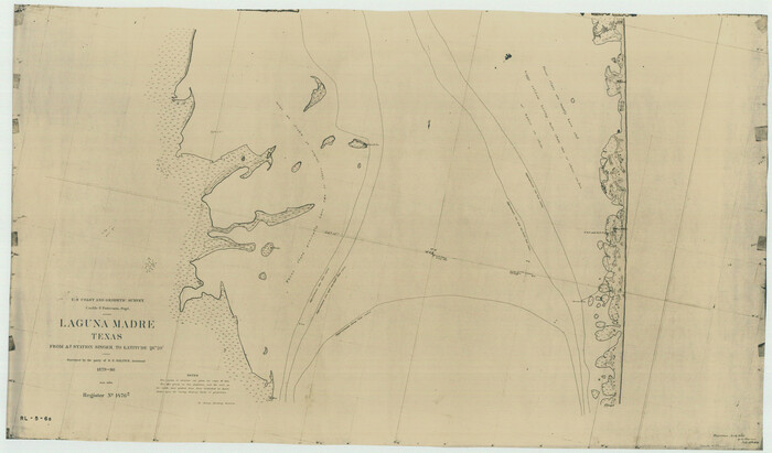

Print $40.00
- Digital $50.00
Laguna Madre, Register No. 1476A
1880
Size 31.3 x 53.3 inches
Map/Doc 73604
Dallas County Sketch File 20
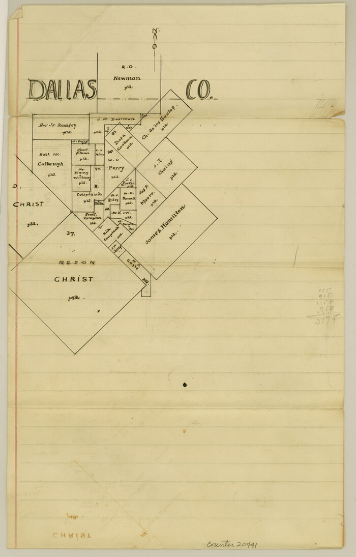

Print $4.00
- Digital $50.00
Dallas County Sketch File 20
Size 12.2 x 7.8 inches
Map/Doc 20441
Crockett County Sketch File 49 and 50
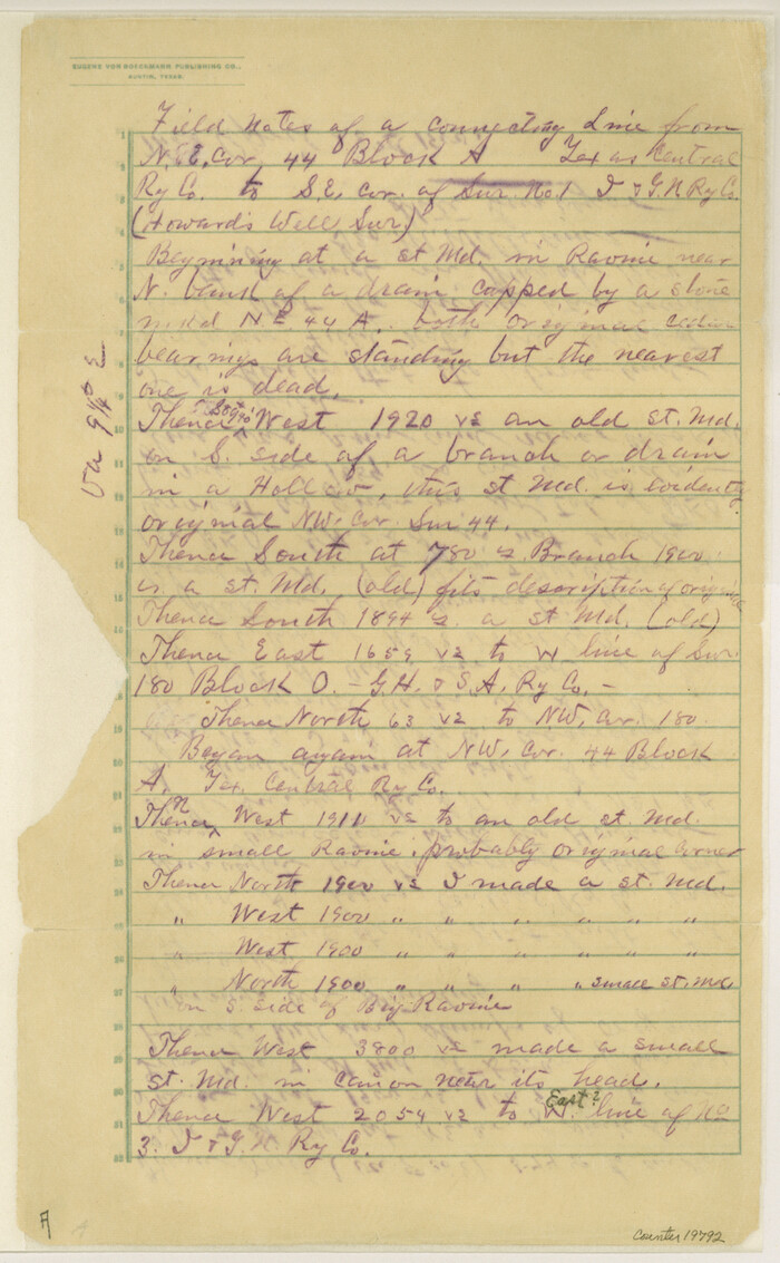

Print $14.00
- Digital $50.00
Crockett County Sketch File 49 and 50
Size 14.3 x 8.8 inches
Map/Doc 19792
Flight Mission No. BQY-4M, Frame 124, Harris County


Print $20.00
- Digital $50.00
Flight Mission No. BQY-4M, Frame 124, Harris County
1953
Size 18.7 x 22.4 inches
Map/Doc 85292
Brewster County Rolled Sketch 55
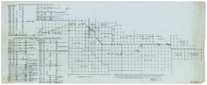

Print $40.00
- Digital $50.00
Brewster County Rolled Sketch 55
1935
Size 24.2 x 58.8 inches
Map/Doc 5227
Morris County Rolled Sketch 2A
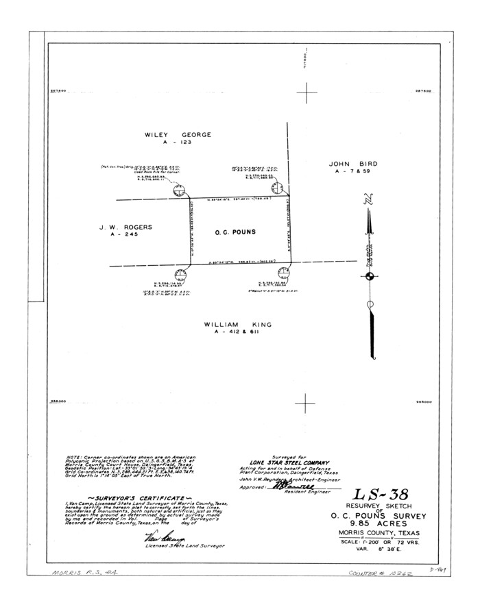

Print $20.00
- Digital $50.00
Morris County Rolled Sketch 2A
Size 24.4 x 19.3 inches
Map/Doc 10262
Dallas County Working Sketch 2
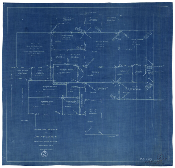

Print $20.00
- Digital $50.00
Dallas County Working Sketch 2
1917
Size 18.2 x 19.0 inches
Map/Doc 68568
You may also like
Flight Mission No. CRC-2R, Frame 135, Chambers County
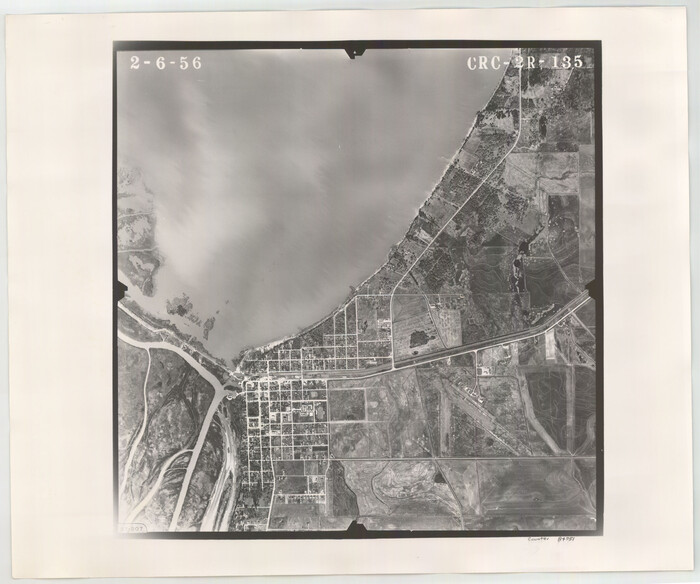

Print $20.00
- Digital $50.00
Flight Mission No. CRC-2R, Frame 135, Chambers County
1956
Size 18.7 x 22.5 inches
Map/Doc 84751
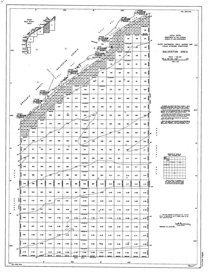
Outer Continental Shelf Leasing Maps (Texas Offshore Operations)

Print $20.00
- Digital $50.00
Outer Continental Shelf Leasing Maps (Texas Offshore Operations)
1954
Size 20.8 x 15.8 inches
Map/Doc 75838
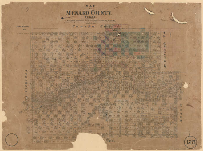
Map of Menard County, Texas

Print $20.00
- Digital $50.00
Map of Menard County, Texas
1879
Size 18.5 x 24.8 inches
Map/Doc 580
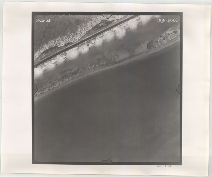
Flight Mission No. DQN-1K, Frame 66, Calhoun County

Print $20.00
- Digital $50.00
Flight Mission No. DQN-1K, Frame 66, Calhoun County
1953
Size 18.7 x 22.3 inches
Map/Doc 84153
Reeves County Sketch File 21


Print $20.00
- Digital $50.00
Reeves County Sketch File 21
Size 21.9 x 21.7 inches
Map/Doc 12246
Map of Cameron County Drainage District Number One


Print $20.00
- Digital $50.00
Map of Cameron County Drainage District Number One
1929
Size 46.6 x 31.0 inches
Map/Doc 94245
United States - Gulf Coast - From Latitude 26° 33' to the Rio Grande Texas


Print $20.00
- Digital $50.00
United States - Gulf Coast - From Latitude 26° 33' to the Rio Grande Texas
1913
Size 18.3 x 23.6 inches
Map/Doc 72844
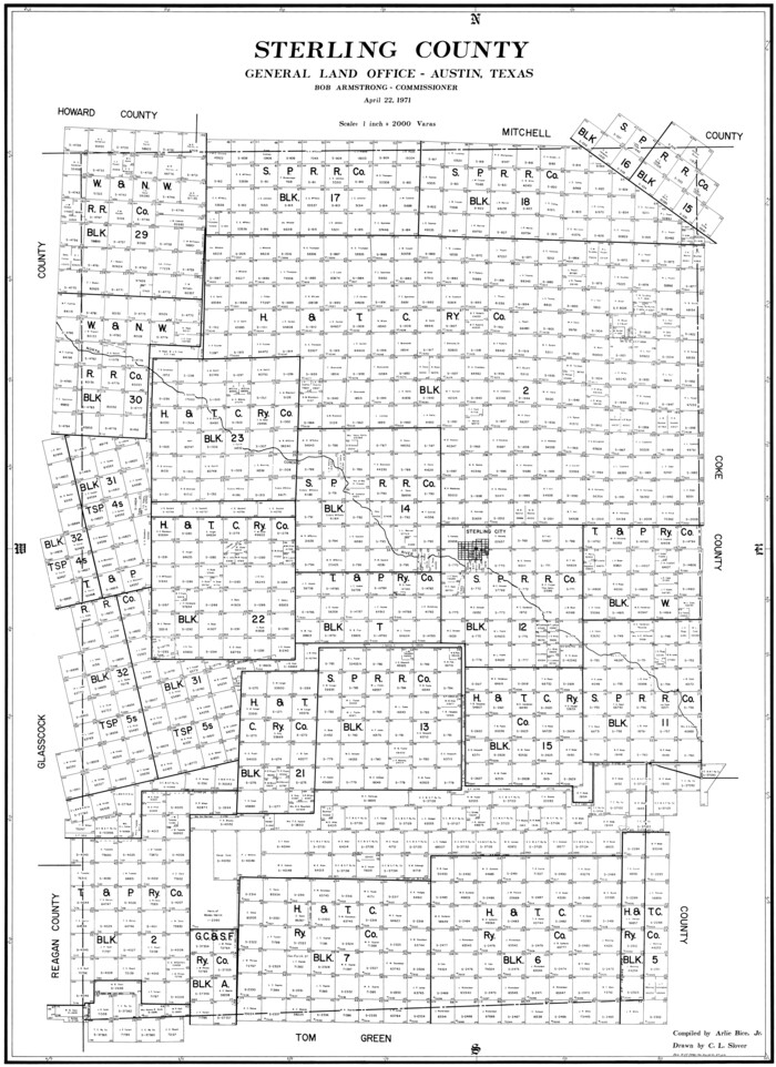
Sterling County

Print $20.00
- Digital $50.00
Sterling County
1971
Size 42.8 x 31.1 inches
Map/Doc 77427
Trinity County Working Sketch 12
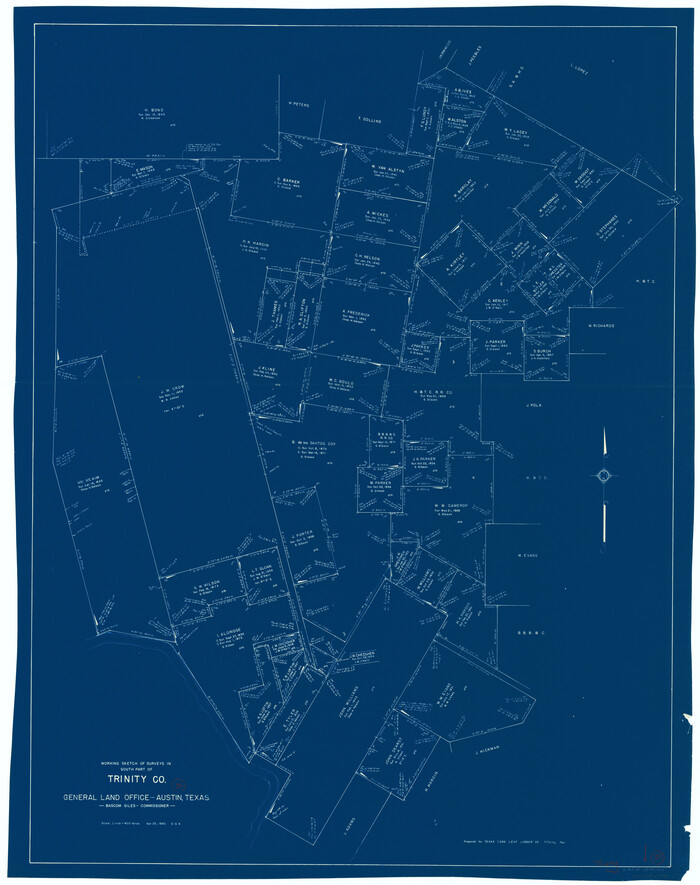

Print $20.00
- Digital $50.00
Trinity County Working Sketch 12
1950
Size 46.6 x 36.9 inches
Map/Doc 69461
Erath County Working Sketch 16


Print $20.00
- Digital $50.00
Erath County Working Sketch 16
1961
Size 20.9 x 26.5 inches
Map/Doc 69097
