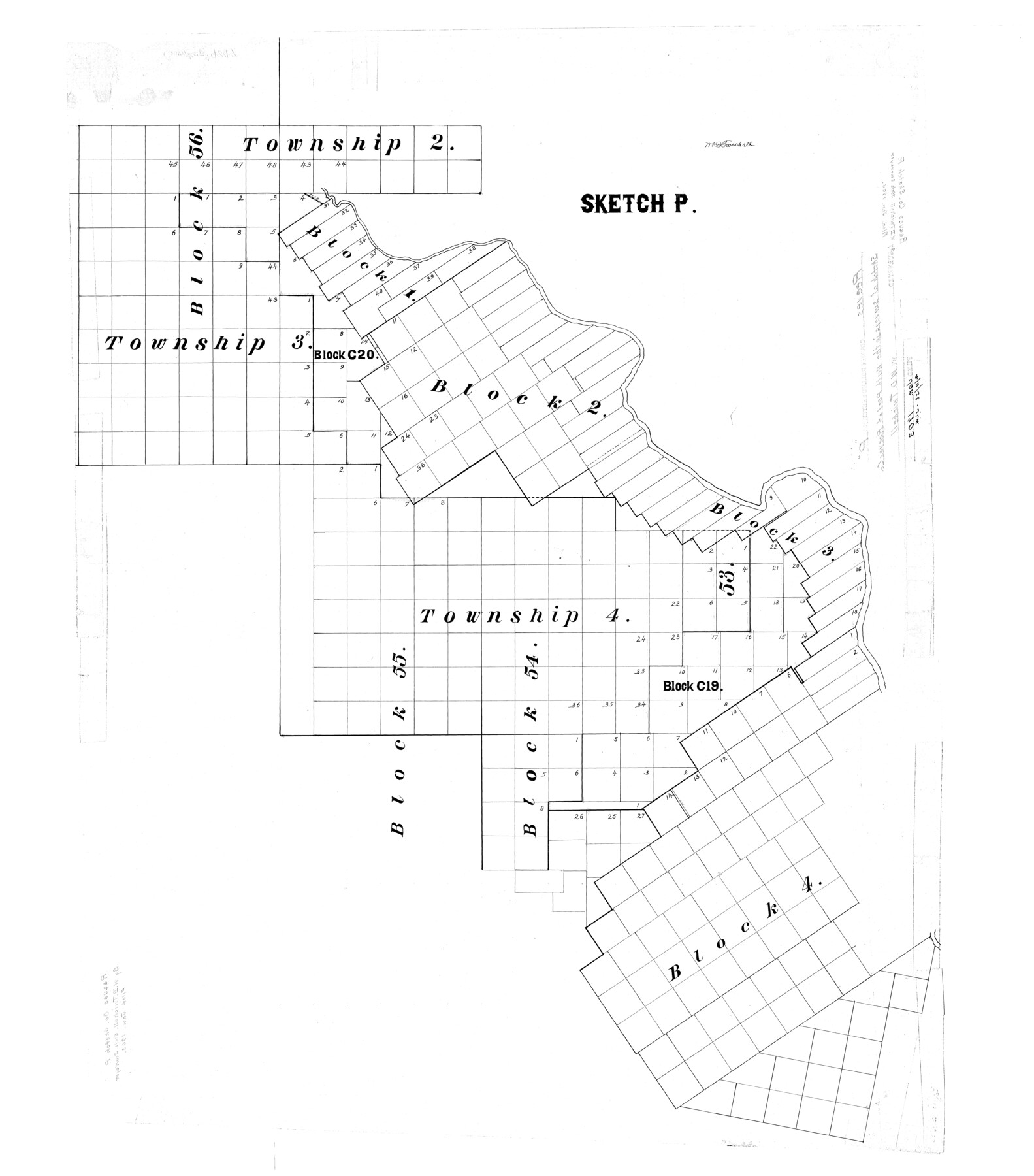
Reeves County Rolled Sketch P
Sketch P [of T. & P. Ry. Co. and H. & G. N. Ry. Co. Blocks in north part of county]
-
Map/Doc
9847
-
Collection
General Map Collection
-
Object Dates
1903 (File Date)
-
People and Organizations
W.D. Twichell (Surveyor/Engineer)
-
Counties
Reeves
-
Subjects
Surveying Rolled Sketch
-
Height x Width
33.2 x 29.2 inches
84.3 x 74.2 cm
Part of: General Map Collection
Liberty County Sketch File 55

Print $22.00
- Digital $50.00
Liberty County Sketch File 55
Size 14.3 x 8.8 inches
Map/Doc 30049
Zavala County Sketch File 23

Print $4.00
- Digital $50.00
Zavala County Sketch File 23
1885
Size 14.4 x 8.8 inches
Map/Doc 41380
Flight Mission No. CGI-3N, Frame 104, Cameron County

Print $20.00
- Digital $50.00
Flight Mission No. CGI-3N, Frame 104, Cameron County
1954
Size 18.6 x 22.3 inches
Map/Doc 84584
Colorado River, Shoal Creek from 12th to 34th Street/Austin, Texas

Print $40.00
- Digital $50.00
Colorado River, Shoal Creek from 12th to 34th Street/Austin, Texas
1929
Size 61.5 x 28.6 inches
Map/Doc 65327
Live Oak County Rolled Sketch 10A

Print $20.00
- Digital $50.00
Live Oak County Rolled Sketch 10A
1983
Size 38.4 x 43.6 inches
Map/Doc 9457
Cooke County Sketch File 41

Print $36.00
- Digital $50.00
Cooke County Sketch File 41
1928
Size 11.3 x 8.9 inches
Map/Doc 19308
Matagorda County Working Sketch 13

Print $20.00
- Digital $50.00
Matagorda County Working Sketch 13
1949
Size 41.5 x 35.7 inches
Map/Doc 70871
Township 12 South Range 13 West, South Western District, Louisiana

Print $20.00
- Digital $50.00
Township 12 South Range 13 West, South Western District, Louisiana
1838
Size 19.5 x 24.7 inches
Map/Doc 65855
Lavaca County Working Sketch 24

Print $20.00
- Digital $50.00
Lavaca County Working Sketch 24
1985
Size 29.5 x 35.7 inches
Map/Doc 70377
Flight Mission No. CRC-1R, Frame 37, Chambers County

Print $20.00
- Digital $50.00
Flight Mission No. CRC-1R, Frame 37, Chambers County
1956
Size 18.7 x 22.5 inches
Map/Doc 84705
Map of Collin County

Print $20.00
- Digital $50.00
Map of Collin County
1850
Size 18.1 x 22.5 inches
Map/Doc 4519

You may also like
Kent County Working Sketch 17

Print $20.00
- Digital $50.00
Kent County Working Sketch 17
1973
Size 34.8 x 36.4 inches
Map/Doc 70024
Winkler County Working Sketch 19

Print $20.00
- Digital $50.00
Winkler County Working Sketch 19
1990
Size 29.4 x 25.7 inches
Map/Doc 72613
[Sketch showing the area around the state line in Roberts and Clay Counties, along the north bank of the Canadian River]
![91762, [Sketch showing the area around the state line in Roberts and Clay Counties, along the north bank of the Canadian River], Twichell Survey Records](https://historictexasmaps.com/wmedia_w700/maps/91762-1.tif.jpg)
Print $20.00
- Digital $50.00
[Sketch showing the area around the state line in Roberts and Clay Counties, along the north bank of the Canadian River]
1901
Size 14.3 x 12.7 inches
Map/Doc 91762
[Upton County Sketch]
![5043, [Upton County Sketch], Maddox Collection](https://historictexasmaps.com/wmedia_w700/maps/5043-1.tif.jpg)
Print $40.00
- Digital $50.00
[Upton County Sketch]
Size 19.2 x 60.3 inches
Map/Doc 5043
Map of Jack County

Print $20.00
- Digital $50.00
Map of Jack County
Size 18.4 x 15.9 inches
Map/Doc 3702
Diefert Situs Orbis Hydrographorum ab eo quem Ptolomeus Posuit

Print $20.00
- Digital $50.00
Diefert Situs Orbis Hydrographorum ab eo quem Ptolomeus Posuit
1522
Size 13.9 x 19.1 inches
Map/Doc 96578
Matagorda County Working Sketch 14

Print $40.00
- Digital $50.00
Matagorda County Working Sketch 14
1950
Size 42.9 x 50.5 inches
Map/Doc 70872
Borden County

Print $20.00
- Digital $50.00
Borden County
1922
Size 37.2 x 41.6 inches
Map/Doc 92456
Liberty County Rolled Sketch 18

Print $11.00
- Digital $50.00
Liberty County Rolled Sketch 18
1859
Size 10.1 x 15.2 inches
Map/Doc 46540
Treaty to Resolve Pending Boundary Differences and Maintain the Rio Grande and Colorado River as the International Boundary Between the United States of American and Mexico

Print $20.00
- Digital $50.00
Treaty to Resolve Pending Boundary Differences and Maintain the Rio Grande and Colorado River as the International Boundary Between the United States of American and Mexico
1970
Size 11.0 x 35.2 inches
Map/Doc 83105
[Index of Texas Prison Farms]
![62977, [Index of Texas Prison Farms], General Map Collection](https://historictexasmaps.com/wmedia_w700/maps/62977.tif.jpg)
Print $20.00
- Digital $50.00
[Index of Texas Prison Farms]
Size 31.1 x 23.1 inches
Map/Doc 62977
Cooke County Sketch File 4

Print $6.00
- Digital $50.00
Cooke County Sketch File 4
1856
Size 6.6 x 5.4 inches
Map/Doc 19223