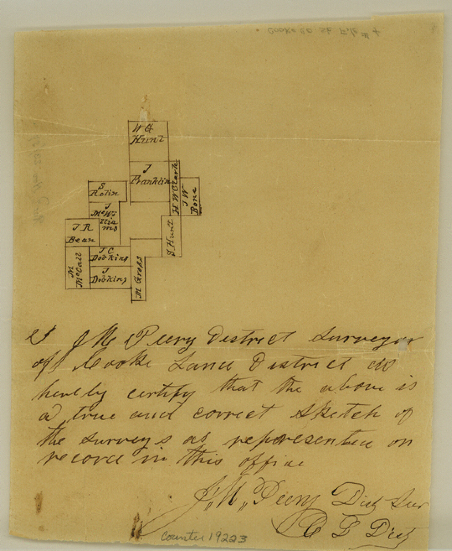
Cooke County Sketch File 4
[Sketch of surveys along Red River]
-
Map/Doc
19223
-
Collection
General Map Collection
-
Object Dates
1856/1/27 (Creation Date)
1856/3/28 (File Date)
-
People and Organizations
Daniel Montague (Surveyor/Engineer)
-
Counties
Cooke
-
Subjects
Surveying Sketch File
-
Height x Width
6.6 x 5.4 inches
16.8 x 13.7 cm
-
Medium
paper, manuscript
-
Features
R[ed] River
North Fork of Fish Creek
Part of: General Map Collection
Harrison County Working Sketch 13

Print $20.00
- Digital $50.00
Harrison County Working Sketch 13
1961
Size 32.4 x 37.0 inches
Map/Doc 66033
Washington County Sketch File 2

Print $4.00
- Digital $50.00
Washington County Sketch File 2
1855
Size 8.3 x 12.5 inches
Map/Doc 39646
Kimble County Working Sketch 2

Print $20.00
- Digital $50.00
Kimble County Working Sketch 2
Size 20.6 x 17.9 inches
Map/Doc 70070
Township 9 North Range 14 West, North Western District, Louisiana

Print $20.00
- Digital $50.00
Township 9 North Range 14 West, North Western District, Louisiana
1854
Size 19.5 x 24.6 inches
Map/Doc 65873
Angelina County Sketch File 3

Print $8.00
- Digital $50.00
Angelina County Sketch File 3
Size 7.7 x 7.6 inches
Map/Doc 12922
Young County Working Sketch 16

Print $20.00
- Digital $50.00
Young County Working Sketch 16
1955
Size 23.8 x 21.7 inches
Map/Doc 62039
City of San Francisco and its Vicinity, California

Print $20.00
- Digital $50.00
City of San Francisco and its Vicinity, California
1853
Size 28.1 x 20.4 inches
Map/Doc 97233
Coast Chart No. 210 Aransas Pass and Corpus Christi Bay with the coast to latitude 27° 12' Texas

Print $20.00
- Digital $50.00
Coast Chart No. 210 Aransas Pass and Corpus Christi Bay with the coast to latitude 27° 12' Texas
1887
Size 27.5 x 18.2 inches
Map/Doc 72802
Hidalgo County Working Sketch 3

Print $20.00
- Digital $50.00
Hidalgo County Working Sketch 3
1941
Size 41.1 x 32.8 inches
Map/Doc 66180
Bandera County Working Sketch 13

Print $20.00
- Digital $50.00
Bandera County Working Sketch 13
1932
Size 29.1 x 25.3 inches
Map/Doc 67606
Young County Working Sketch 18

Print $20.00
- Digital $50.00
Young County Working Sketch 18
1960
Size 23.9 x 29.2 inches
Map/Doc 62041
El Paso County Boundary File 20

Print $9.00
- Digital $50.00
El Paso County Boundary File 20
Size 13.2 x 8.3 inches
Map/Doc 53210
You may also like
Fort Bend County Working Sketch 32

Print $20.00
- Digital $50.00
Fort Bend County Working Sketch 32
2000
Size 36.5 x 42.5 inches
Map/Doc 69238
Trinity County Working Sketch 14

Print $20.00
- Digital $50.00
Trinity County Working Sketch 14
1956
Size 24.8 x 29.9 inches
Map/Doc 69463
Uvalde County Sketch File 12

Print $18.00
- Digital $50.00
Uvalde County Sketch File 12
1887
Size 9.3 x 17.0 inches
Map/Doc 38977
Gaines County Working Sketch 9

Print $40.00
- Digital $50.00
Gaines County Working Sketch 9
1951
Size 75.2 x 20.8 inches
Map/Doc 69309
[Bastrop County, El Paso County, and Gillespie County School Land Leagues and surveys to the East]
![90868, [Bastrop County, El Paso County, and Gillespie County School Land Leagues and surveys to the East], Twichell Survey Records](https://historictexasmaps.com/wmedia_w700/maps/90868-2.tif.jpg)
Print $20.00
- Digital $50.00
[Bastrop County, El Paso County, and Gillespie County School Land Leagues and surveys to the East]
1886
Size 15.9 x 20.1 inches
Map/Doc 90868
Cooke County Working Sketch 10

Print $20.00
- Digital $50.00
Cooke County Working Sketch 10
1940
Size 40.5 x 27.8 inches
Map/Doc 68247
Flight Mission No. DIX-6P, Frame 196, Aransas County

Print $20.00
- Digital $50.00
Flight Mission No. DIX-6P, Frame 196, Aransas County
1956
Size 18.9 x 22.6 inches
Map/Doc 83858

Moore County Working Sketch 11

Print $20.00
- Digital $50.00
Moore County Working Sketch 11
1951
Size 33.1 x 29.8 inches
Map/Doc 71193
Red River County Working Sketch 21

Print $20.00
- Digital $50.00
Red River County Working Sketch 21
1955
Size 33.2 x 18.5 inches
Map/Doc 72004
Loving County Rolled Sketch 9

Print $20.00
- Digital $50.00
Loving County Rolled Sketch 9
1985
Size 14.2 x 17.3 inches
Map/Doc 6640
[Southeast part of County near Jas. H. Price Survey]
![91915, [Southeast part of County near Jas. H. Price Survey], Twichell Survey Records](https://historictexasmaps.com/wmedia_w700/maps/91915-1.tif.jpg)
Print $20.00
- Digital $50.00
[Southeast part of County near Jas. H. Price Survey]
Size 19.9 x 20.0 inches
Map/Doc 91915