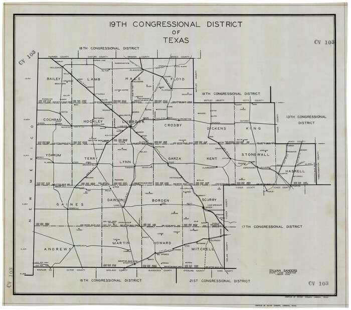
19th Congressional District of Texas

Print $20.00
- Digital $50.00
19th Congressional District of Texas
Size: 33.1 x 28.9 inches
92610
Briscoe County Rolled Sketch 14


Print $40.00
- Digital $50.00
Briscoe County Rolled Sketch 14
1913
Size: 36.0 x 48.9 inches
8529
Briscoe County Rolled Sketch 14A


Print $40.00
- Digital $50.00
Briscoe County Rolled Sketch 14A
1913
Size: 34.6 x 48.1 inches
8530
Briscoe County Rolled Sketch 14B


Print $20.00
- Digital $50.00
Briscoe County Rolled Sketch 14B
1929
Size: 32.6 x 37.3 inches
8531
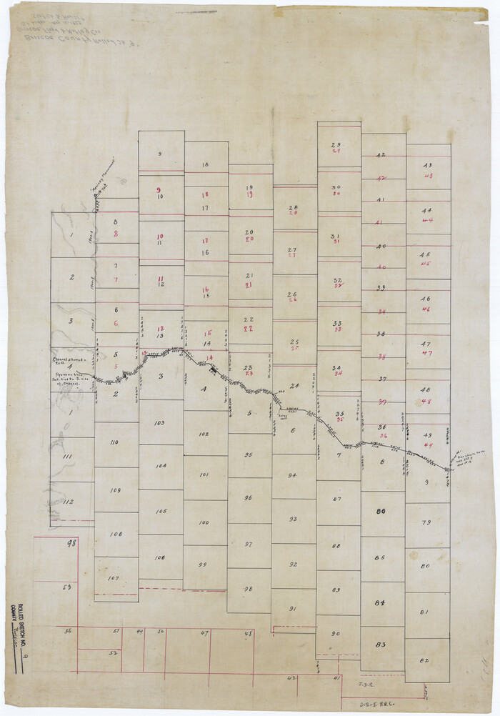
Briscoe County Rolled Sketch 9

Print $20.00
- Digital $50.00
Briscoe County Rolled Sketch 9
Size: 30.6 x 21.4 inches
5327
Briscoe County Sketch File 1

Print $5.00
- Digital $50.00
Briscoe County Sketch File 1
1880
Size: 9.1 x 14.8 inches
16413
Briscoe County Sketch File 14


Print $20.00
- Digital $50.00
Briscoe County Sketch File 14
1910
Size: 14.2 x 8.5 inches
16509
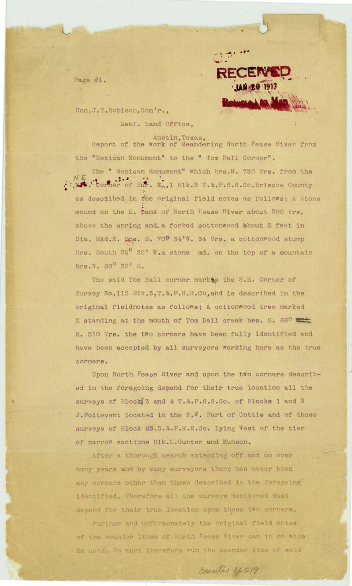
Briscoe County Sketch File 14a

Print $6.00
- Digital $50.00
Briscoe County Sketch File 14a
Size: 14.3 x 8.6 inches
16519
Briscoe County Sketch File 16


Print $4.00
- Digital $50.00
Briscoe County Sketch File 16
1913
Size: 13.4 x 9.1 inches
16535
Briscoe County Sketch File 4


Print $40.00
- Digital $50.00
Briscoe County Sketch File 4
Size: 26.0 x 33.5 inches
10993
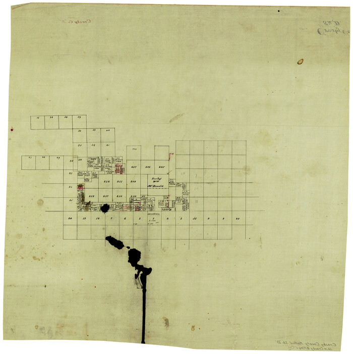
Crosby County Rolled Sketch D

Print $20.00
- Digital $50.00
Crosby County Rolled Sketch D
Size: 23.9 x 23.6 inches
5643
Crosby County Sketch File 1


Print $4.00
- Digital $50.00
Crosby County Sketch File 1
Size: 12.8 x 8.1 inches
19985
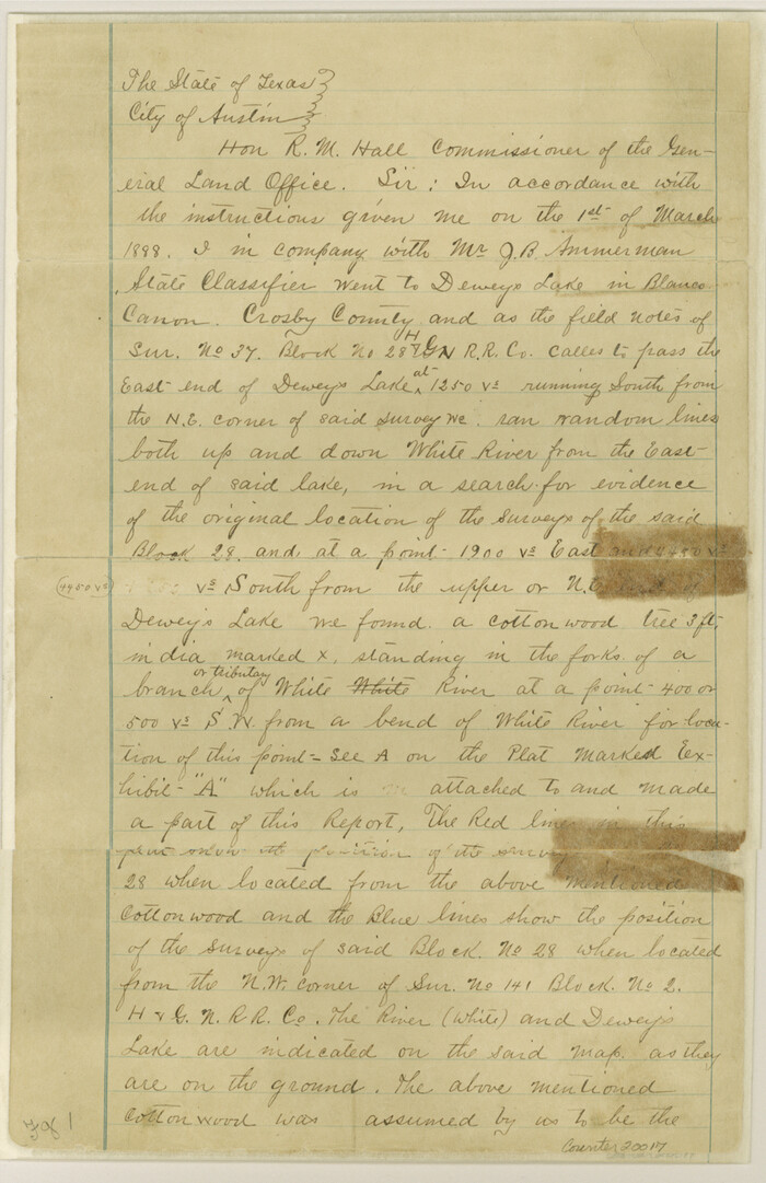
Crosby County Sketch File 11

Print $64.00
- Digital $50.00
Crosby County Sketch File 11
Size: 13.8 x 8.9 inches
20017
Crosby County Sketch File 19


Print $6.00
- Digital $50.00
Crosby County Sketch File 19
1910
Size: 8.2 x 8.1 inches
20084
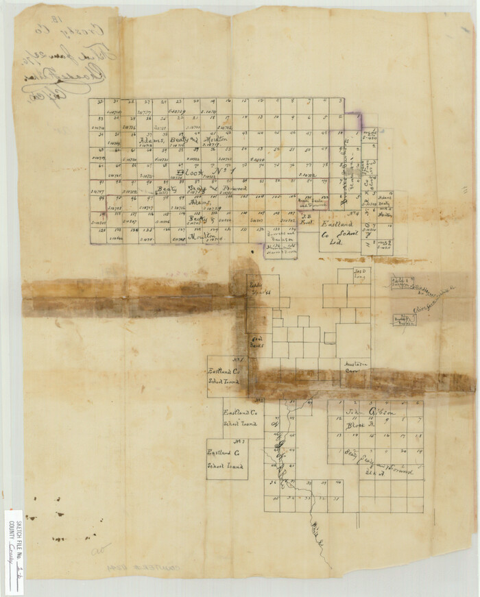
Crosby County Sketch File 1b

Print $20.00
- Digital $50.00
Crosby County Sketch File 1b
Size: 18.0 x 14.5 inches
11244
Crosby County Sketch File 26


Print $28.00
- Digital $50.00
Crosby County Sketch File 26
1888
Size: 14.1 x 8.6 inches
20098
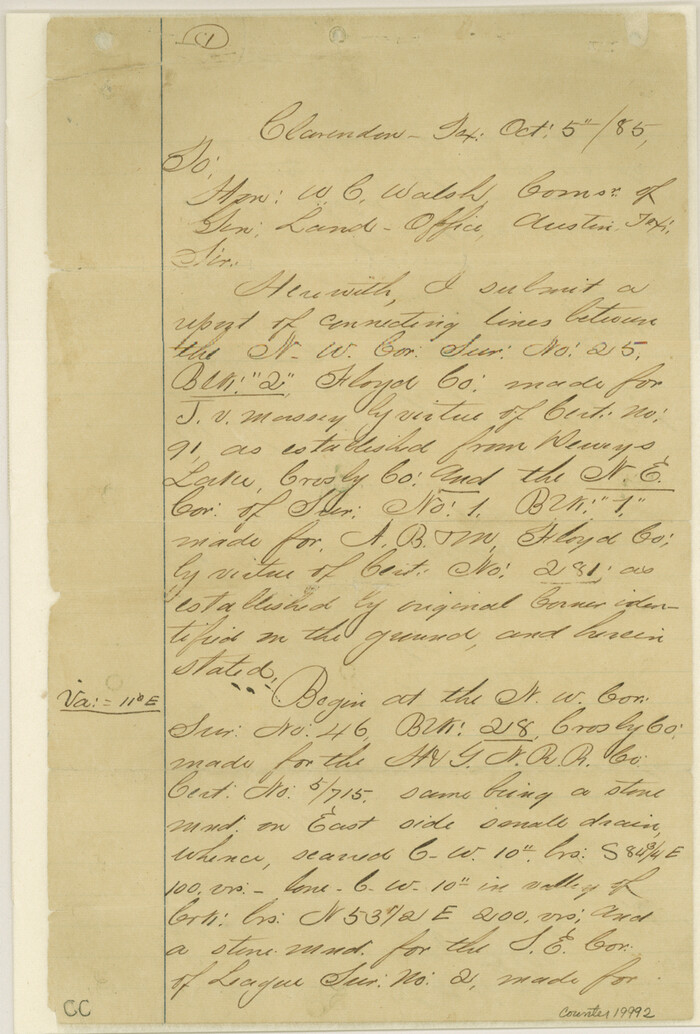
Crosby County Sketch File 3

Print $36.00
- Digital $50.00
Crosby County Sketch File 3
1885
Size: 12.8 x 8.7 inches
19992
Crosby County Sketch File 35
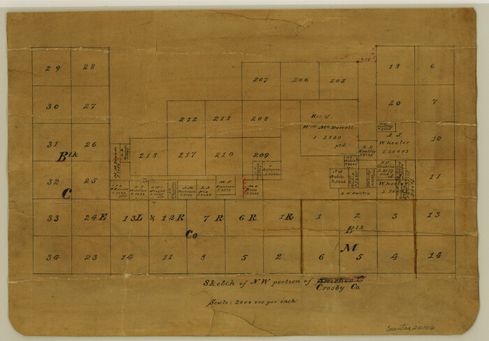

Print $4.00
- Digital $50.00
Crosby County Sketch File 35
Size: 8.5 x 12.1 inches
20106
Crosby County Sketch File 5

Print $10.00
- Digital $50.00
Crosby County Sketch File 5
1887
Size: 9.2 x 7.8 inches
20002
Crosby County Sketch File A
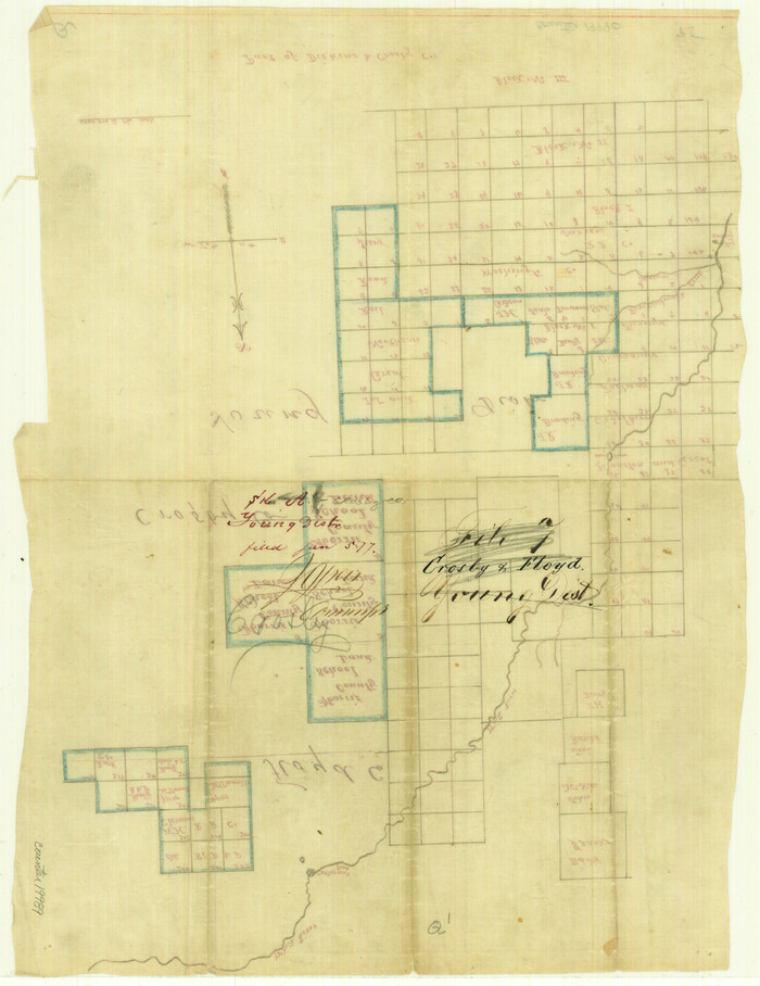

Print $6.00
- Digital $50.00
Crosby County Sketch File A
Size: 15.2 x 11.7 inches
19989
Crosby County Sketch File B
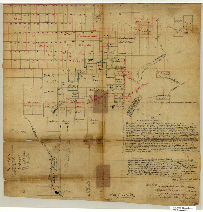

Print $20.00
- Digital $50.00
Crosby County Sketch File B
1877
Size: 21.9 x 21.0 inches
11259
Crosby County Working Sketch 10


Print $20.00
- Digital $50.00
Crosby County Working Sketch 10
1946
Size: 44.5 x 23.7 inches
68444
Crosby County Working Sketch 11


Print $20.00
- Digital $50.00
Crosby County Working Sketch 11
1947
Size: 23.7 x 22.8 inches
68445
19th Congressional District of Texas


Print $20.00
- Digital $50.00
19th Congressional District of Texas
-
Size
33.1 x 28.9 inches
-
Map/Doc
92610
Briscoe County Rolled Sketch 14


Print $40.00
- Digital $50.00
Briscoe County Rolled Sketch 14
1913
-
Size
36.0 x 48.9 inches
-
Map/Doc
8529
-
Creation Date
1913
Briscoe County Rolled Sketch 14A


Print $40.00
- Digital $50.00
Briscoe County Rolled Sketch 14A
1913
-
Size
34.6 x 48.1 inches
-
Map/Doc
8530
-
Creation Date
1913
Briscoe County Rolled Sketch 14B


Print $20.00
- Digital $50.00
Briscoe County Rolled Sketch 14B
1929
-
Size
32.6 x 37.3 inches
-
Map/Doc
8531
-
Creation Date
1929
Briscoe County Rolled Sketch 9


Print $20.00
- Digital $50.00
Briscoe County Rolled Sketch 9
-
Size
30.6 x 21.4 inches
-
Map/Doc
5327
Briscoe County Sketch File 1


Print $5.00
- Digital $50.00
Briscoe County Sketch File 1
1880
-
Size
9.1 x 14.8 inches
-
Map/Doc
16413
-
Creation Date
1880
Briscoe County Sketch File 14


Print $20.00
- Digital $50.00
Briscoe County Sketch File 14
1910
-
Size
14.2 x 8.5 inches
-
Map/Doc
16509
-
Creation Date
1910
Briscoe County Sketch File 14a


Print $6.00
- Digital $50.00
Briscoe County Sketch File 14a
-
Size
14.3 x 8.6 inches
-
Map/Doc
16519
Briscoe County Sketch File 16


Print $4.00
- Digital $50.00
Briscoe County Sketch File 16
1913
-
Size
13.4 x 9.1 inches
-
Map/Doc
16535
-
Creation Date
1913
Briscoe County Sketch File 4


Print $40.00
- Digital $50.00
Briscoe County Sketch File 4
-
Size
26.0 x 33.5 inches
-
Map/Doc
10993
Crosby County Rolled Sketch D


Print $20.00
- Digital $50.00
Crosby County Rolled Sketch D
-
Size
23.9 x 23.6 inches
-
Map/Doc
5643
Crosby County Sketch File 1


Print $4.00
- Digital $50.00
Crosby County Sketch File 1
-
Size
12.8 x 8.1 inches
-
Map/Doc
19985
Crosby County Sketch File 11


Print $64.00
- Digital $50.00
Crosby County Sketch File 11
-
Size
13.8 x 8.9 inches
-
Map/Doc
20017
Crosby County Sketch File 19


Print $6.00
- Digital $50.00
Crosby County Sketch File 19
1910
-
Size
8.2 x 8.1 inches
-
Map/Doc
20084
-
Creation Date
1910
Crosby County Sketch File 1b


Print $20.00
- Digital $50.00
Crosby County Sketch File 1b
-
Size
18.0 x 14.5 inches
-
Map/Doc
11244
Crosby County Sketch File 26


Print $28.00
- Digital $50.00
Crosby County Sketch File 26
1888
-
Size
14.1 x 8.6 inches
-
Map/Doc
20098
-
Creation Date
1888
Crosby County Sketch File 3


Print $36.00
- Digital $50.00
Crosby County Sketch File 3
1885
-
Size
12.8 x 8.7 inches
-
Map/Doc
19992
-
Creation Date
1885
Crosby County Sketch File 35


Print $4.00
- Digital $50.00
Crosby County Sketch File 35
-
Size
8.5 x 12.1 inches
-
Map/Doc
20106
Crosby County Sketch File 5


Print $10.00
- Digital $50.00
Crosby County Sketch File 5
1887
-
Size
9.2 x 7.8 inches
-
Map/Doc
20002
-
Creation Date
1887
Crosby County Sketch File A


Print $6.00
- Digital $50.00
Crosby County Sketch File A
-
Size
15.2 x 11.7 inches
-
Map/Doc
19989
Crosby County Sketch File B


Print $20.00
- Digital $50.00
Crosby County Sketch File B
1877
-
Size
21.9 x 21.0 inches
-
Map/Doc
11259
-
Creation Date
1877
Crosby County Working Sketch 10


Print $20.00
- Digital $50.00
Crosby County Working Sketch 10
1946
-
Size
44.5 x 23.7 inches
-
Map/Doc
68444
-
Creation Date
1946
Crosby County Working Sketch 11


Print $20.00
- Digital $50.00
Crosby County Working Sketch 11
1947
-
Size
23.7 x 22.8 inches
-
Map/Doc
68445
-
Creation Date
1947
Floyd County
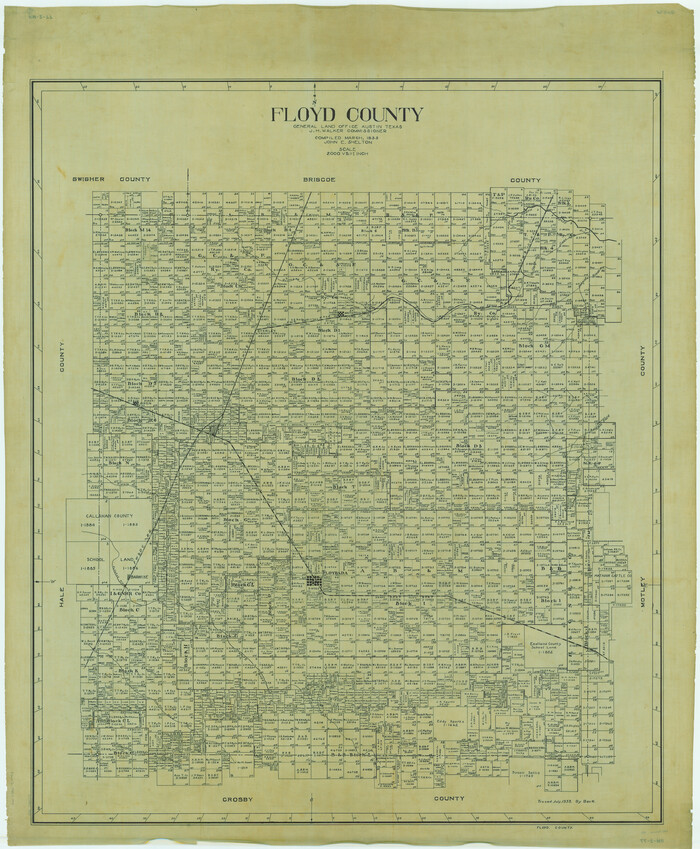

Print $40.00
- Digital $50.00
Floyd County
1933
-
Size
49.7 x 40.9 inches
-
Map/Doc
1827
-
Creation Date
1933
Floyd County
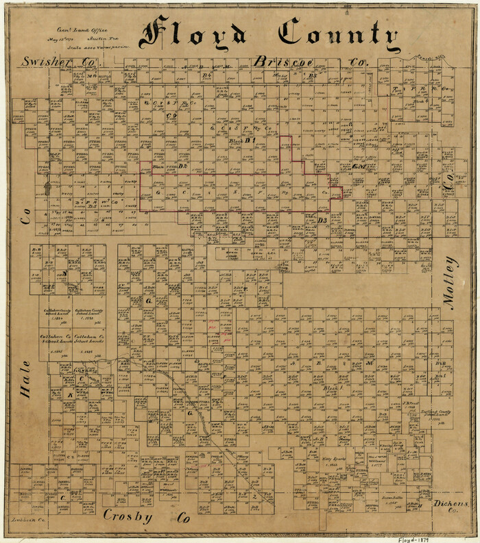

Print $20.00
- Digital $50.00
Floyd County
1879
-
Size
20.3 x 18.0 inches
-
Map/Doc
3542
-
Creation Date
1879
Floyd County
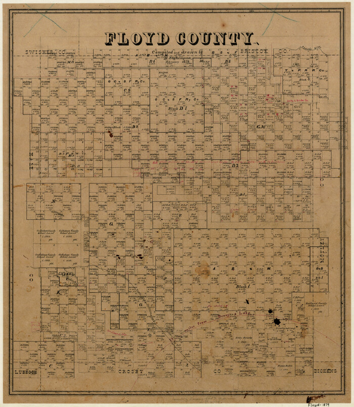

Print $20.00
- Digital $50.00
Floyd County
1879
-
Size
21.3 x 18.5 inches
-
Map/Doc
3543
-
Creation Date
1879
Floyd County


Print $20.00
- Digital $50.00
Floyd County
1895
-
Size
29.0 x 24.7 inches
-
Map/Doc
3544
-
Creation Date
1895
Floyd County


Print $20.00
- Digital $50.00
Floyd County
1892
-
Size
20.8 x 17.9 inches
-
Map/Doc
3545
-
Creation Date
1892
Floyd County


Print $20.00
- Digital $50.00
Floyd County
1892
-
Size
25.1 x 21.4 inches
-
Map/Doc
3546
-
Creation Date
1892
Floyd County
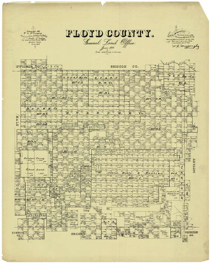

Print $20.00
- Digital $50.00
Floyd County
1892
-
Size
25.0 x 19.4 inches
-
Map/Doc
409
-
Creation Date
1892