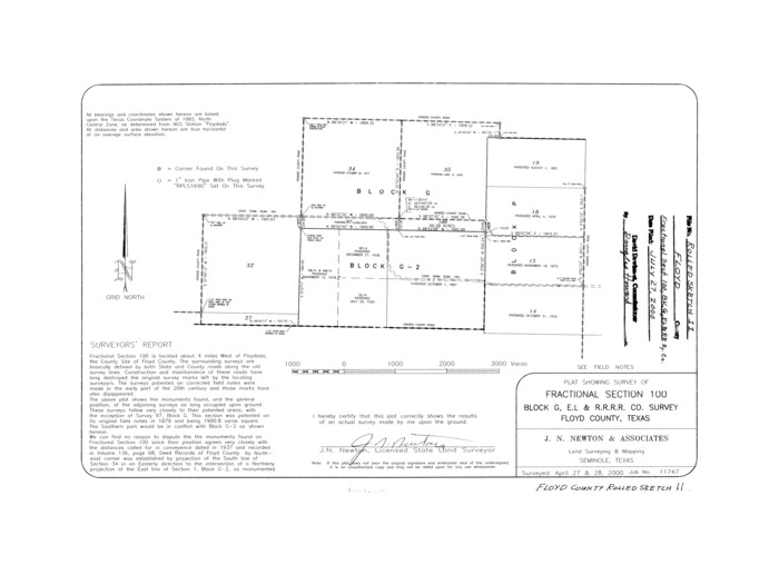
Floyd County Rolled Sketch 11
2000
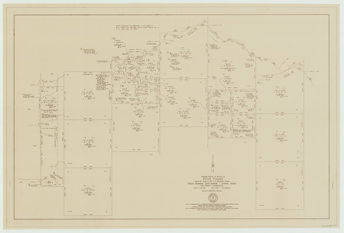
Floyd County Working Sketch 11
1998

Floyd County Working Sketch 6
1965
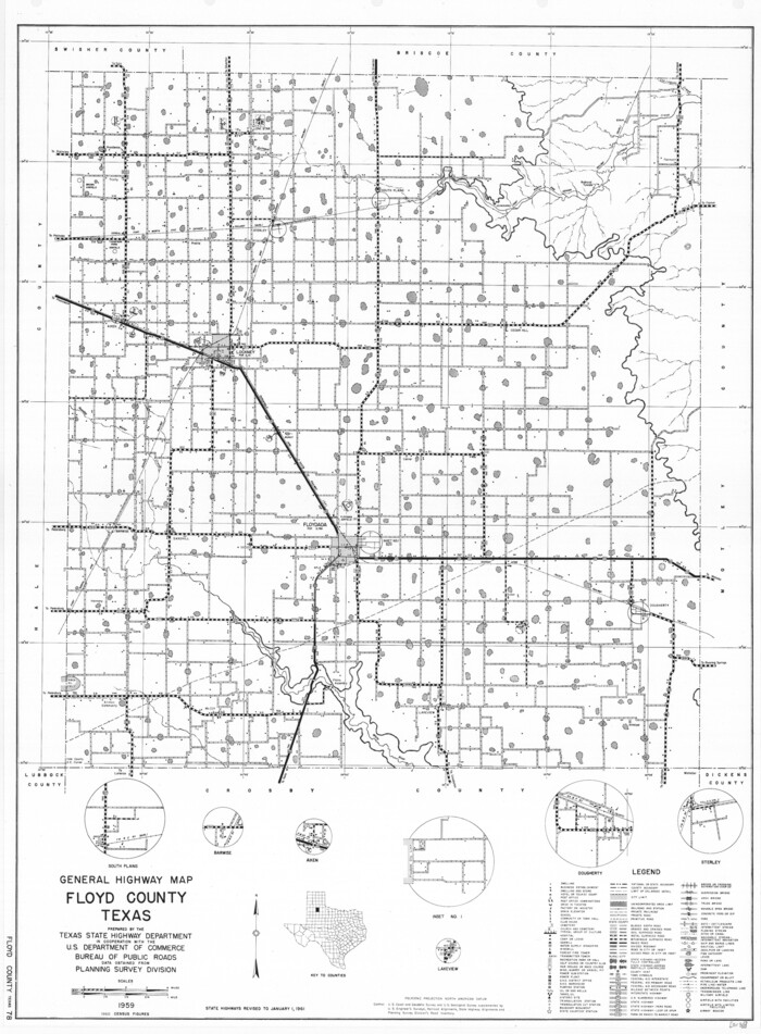
General Highway Map, Floyd County, Texas
1961
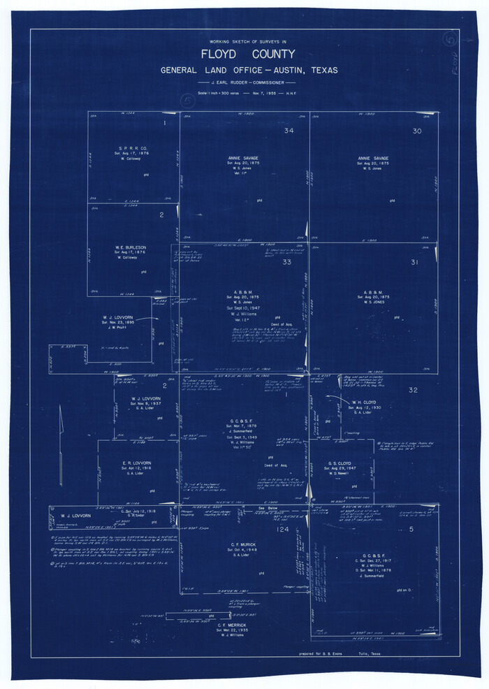
Floyd County Working Sketch 5
1955
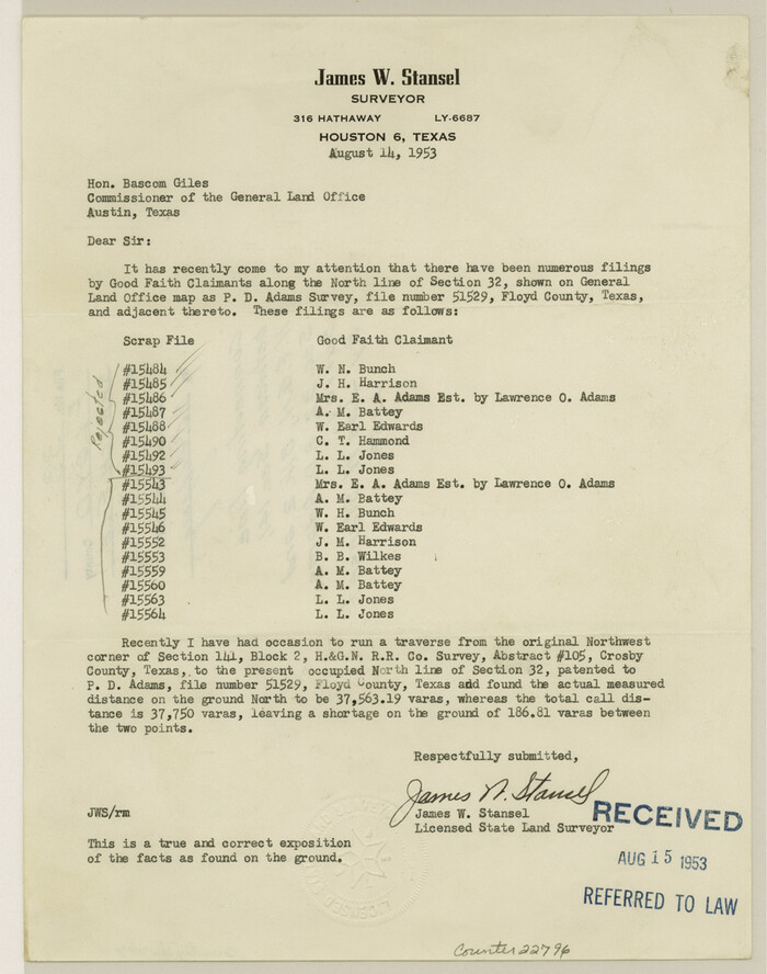
Floyd County Sketch File 33
1953
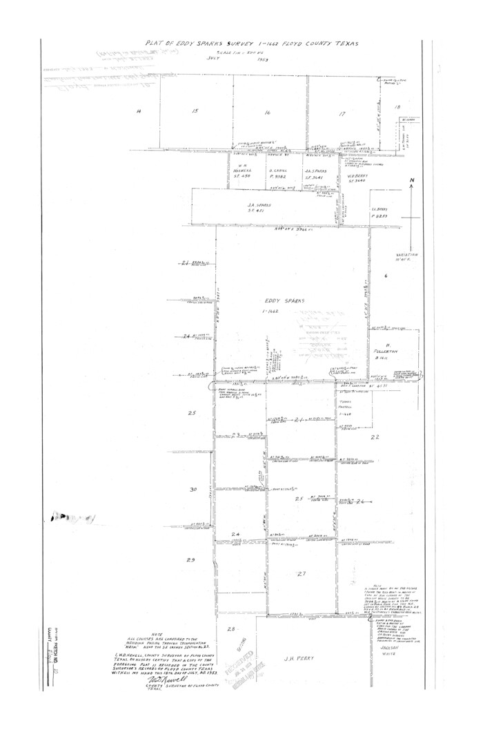
Floyd County Rolled Sketch 10
1953

Floyd County Rolled Sketch 9
1953
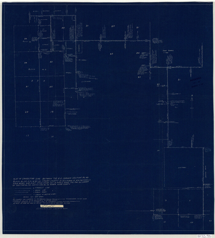
Floyd County Sketch File 32a
1952

Floyd County Sketch File 32
1952

Floyd County Working Sketch 9
1952
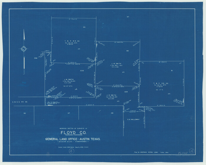
Floyd County Working Sketch 4
1952

General Highway Map, Floyd County, Texas
1950
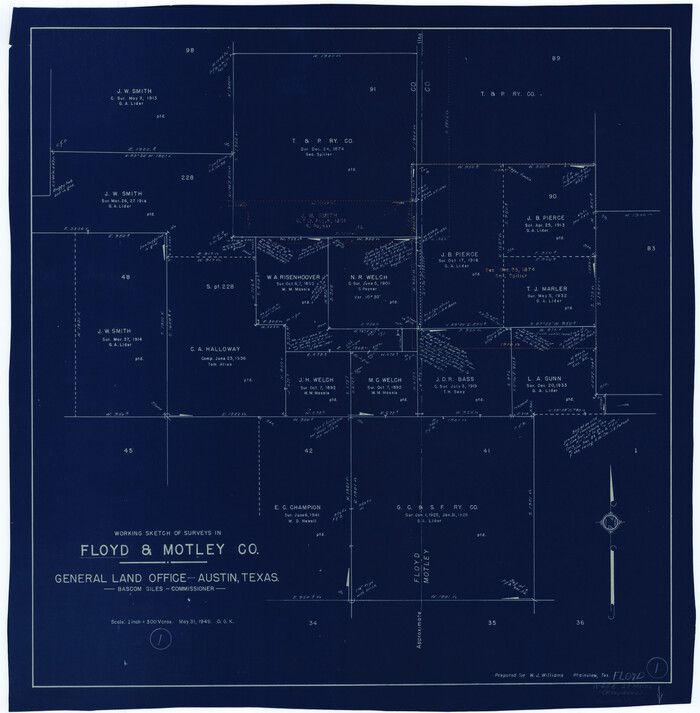
Floyd County Working Sketch 1
1949

Floyd County Working Sketch 3
1948

Crosby County Working Sketch 11
1947
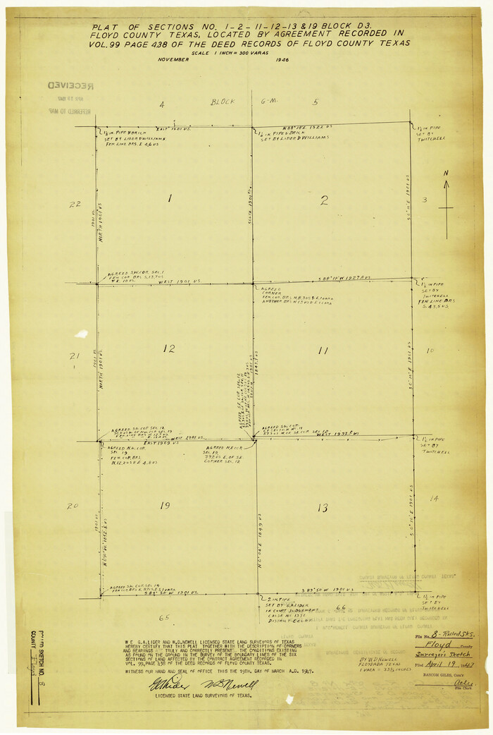
Floyd County Rolled Sketch 8
1947

Crosby County Working Sketch 10
1946

General Highway Map, Floyd County, Texas
1940

Floyd County Working Sketch Graphic Index
1933
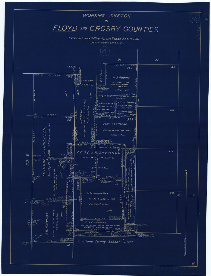
Floyd County Working Sketch 8
1931

Briscoe County Rolled Sketch 14B
1929
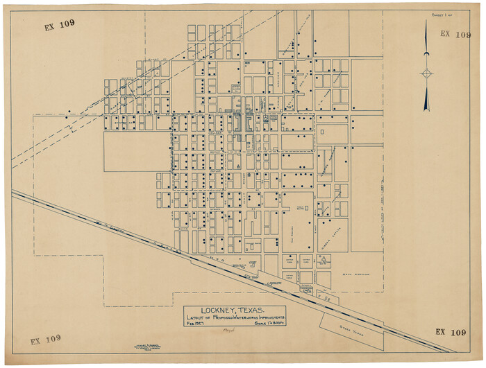
Lockney, Texas. Layout of Proposed Waterworks Improvements
1927
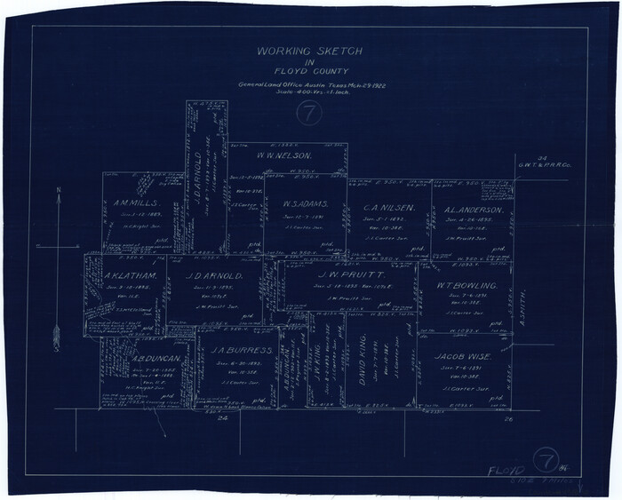
Floyd County Working Sketch 7
1922
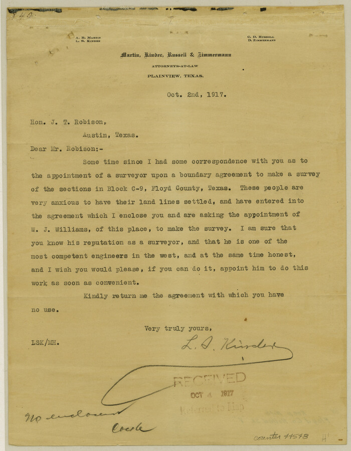
Floyd County Rolled Sketch V
1918

Floyd County Rolled Sketch 11
2000
-
Size
15.5 x 20.9 inches
-
Map/Doc
5884
-
Creation Date
2000

Floyd County Working Sketch 11
1998
-
Size
23.0 x 34.1 inches
-
Map/Doc
69190
-
Creation Date
1998

Floyd County Working Sketch 6
1965
-
Size
22.9 x 31.3 inches
-
Map/Doc
69185
-
Creation Date
1965

General Highway Map, Floyd County, Texas
1961
-
Size
24.6 x 18.1 inches
-
Map/Doc
79467
-
Creation Date
1961

Floyd County Working Sketch 5
1955
-
Size
33.3 x 23.6 inches
-
Map/Doc
69184
-
Creation Date
1955

Floyd County Sketch File 33
1953
-
Size
11.4 x 9.0 inches
-
Map/Doc
22796
-
Creation Date
1953

Floyd County Rolled Sketch 10
1953
-
Size
37.8 x 25.0 inches
-
Map/Doc
5883
-
Creation Date
1953

Floyd County Rolled Sketch 9
1953
-
Size
10.0 x 15.7 inches
-
Map/Doc
44564
-
Creation Date
1953

Floyd County Sketch File 32a
1952
-
Size
36.5 x 33.1 inches
-
Map/Doc
10451
-
Creation Date
1952

Floyd County Sketch File 32
1952
-
Size
14.3 x 8.9 inches
-
Map/Doc
22792
-
Creation Date
1952

Floyd County Working Sketch 9
1952
-
Size
31.5 x 35.9 inches
-
Map/Doc
69188
-
Creation Date
1952

Floyd County Working Sketch 4
1952
-
Size
23.2 x 29.0 inches
-
Map/Doc
69183
-
Creation Date
1952

General Highway Map, Floyd County, Texas
1950
-
Size
18.8 x 25.7 inches
-
Map/Doc
92973
-
Creation Date
1950

Floyd County Working Sketch 1
1949
-
Size
24.5 x 24.1 inches
-
Map/Doc
69180
-
Creation Date
1949

Floyd County Working Sketch 3
1948
-
Size
27.4 x 22.8 inches
-
Map/Doc
69182
-
Creation Date
1948

Crosby County Working Sketch 11
1947
-
Size
23.7 x 22.8 inches
-
Map/Doc
68445
-
Creation Date
1947

Floyd County Rolled Sketch 8
1947
-
Size
29.6 x 19.9 inches
-
Map/Doc
5882
-
Creation Date
1947

Crosby County Working Sketch 10
1946
-
Size
44.5 x 23.7 inches
-
Map/Doc
68444
-
Creation Date
1946

General Highway Map, Floyd County, Texas
1940
-
Size
25.1 x 18.7 inches
-
Map/Doc
79091
-
Creation Date
1940
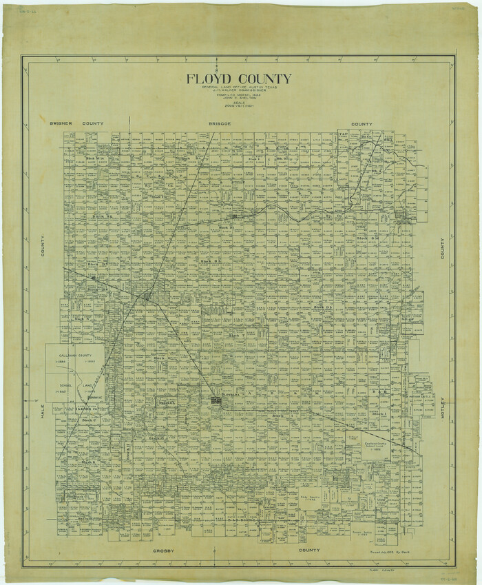
Floyd County
1933
-
Size
49.7 x 40.9 inches
-
Map/Doc
1827
-
Creation Date
1933

Floyd County
1933
-
Size
46.3 x 39.4 inches
-
Map/Doc
66824
-
Creation Date
1933

Floyd County
1933
-
Size
45.5 x 38.6 inches
-
Map/Doc
73148
-
Creation Date
1933

Floyd County
1933
-
Size
41.0 x 35.1 inches
-
Map/Doc
77280
-
Creation Date
1933

Floyd County
1933
-
Size
47.1 x 40.1 inches
-
Map/Doc
95498
-
Creation Date
1933

Floyd County Working Sketch Graphic Index
1933
-
Size
44.9 x 38.4 inches
-
Map/Doc
76543
-
Creation Date
1933

Floyd County Working Sketch 8
1931
-
Size
20.8 x 15.9 inches
-
Map/Doc
69187
-
Creation Date
1931

Briscoe County Rolled Sketch 14B
1929
-
Size
32.6 x 37.3 inches
-
Map/Doc
8531
-
Creation Date
1929

Lockney, Texas. Layout of Proposed Waterworks Improvements
1927
-
Size
30.8 x 23.4 inches
-
Map/Doc
92643
-
Creation Date
1927

Floyd County Working Sketch 7
1922
-
Size
14.4 x 17.9 inches
-
Map/Doc
69186
-
Creation Date
1922

Floyd County Rolled Sketch V
1918
-
Size
11.2 x 8.8 inches
-
Map/Doc
44548
-
Creation Date
1918