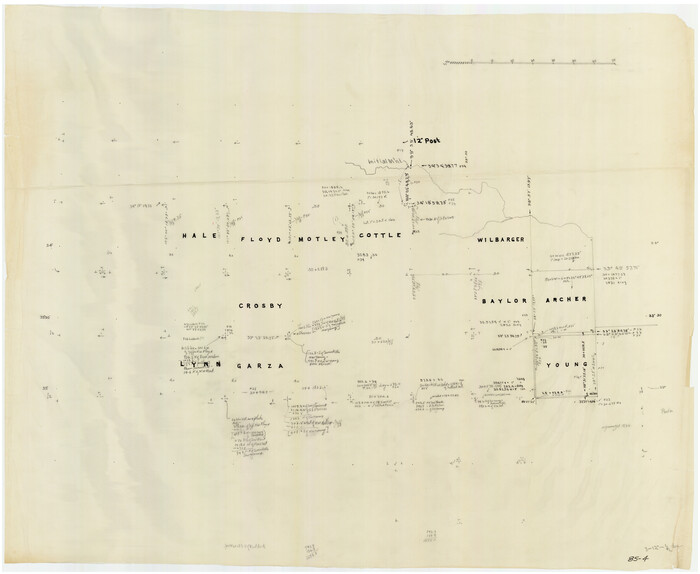
[Sketch of counties just south of the Panhandle]

Print $20.00
- Digital $50.00
[Sketch of counties just south of the Panhandle]
Size: 42.7 x 34.8 inches
90913
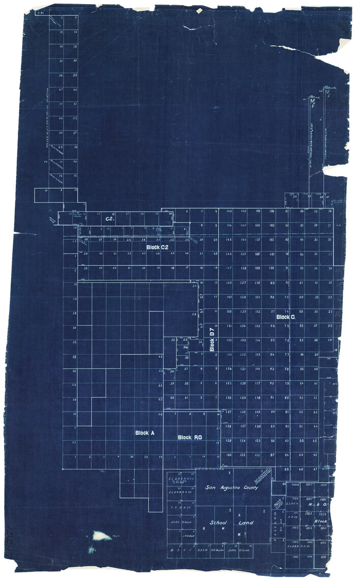
[Sketch of Blocks C2, C, D7, A, RG and San Augustine County School Land]

Print $20.00
- Digital $50.00
[Sketch of Blocks C2, C, D7, A, RG and San Augustine County School Land]
Size: 15.5 x 25.8 inches
93021
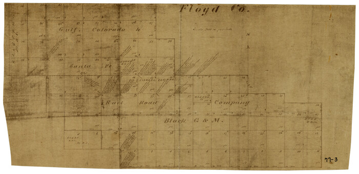
[Gulf, Colorado & Santa Fe Railroad Company Block G & M]

Print $20.00
- Digital $50.00
[Gulf, Colorado & Santa Fe Railroad Company Block G & M]
Size: 18.6 x 9.2 inches
90837
[Ector County Line Descriptions]


Print $20.00
- Digital $50.00
[Ector County Line Descriptions]
Size: 37.2 x 44.2 inches
92636
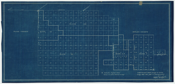
[Blocks in East Floyd County and West Motley County showing Blocks D2, D3, GM, GP and T]

Print $20.00
- Digital $50.00
[Blocks in East Floyd County and West Motley County showing Blocks D2, D3, GM, GP and T]
Size: 22.2 x 10.9 inches
92113
[Block N and part of Block B]
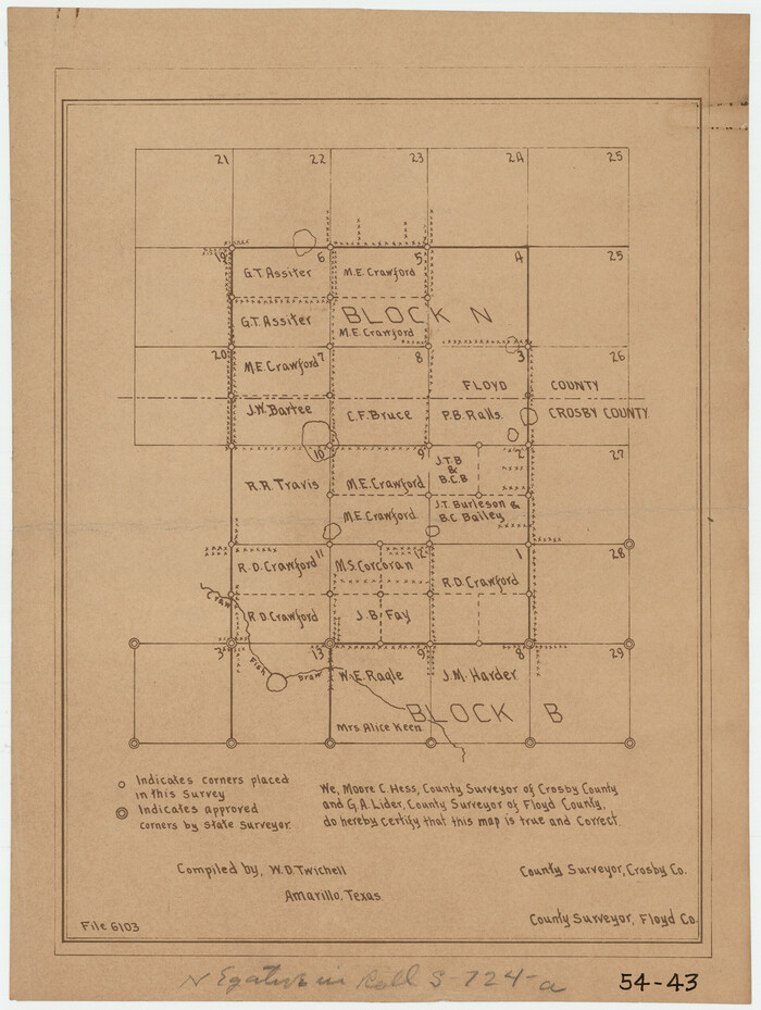

Print $3.00
- Digital $50.00
[Block N and part of Block B]
Size: 9.6 x 12.8 inches
90363
[Block D3, Floyd County and Block GP, Motley County]
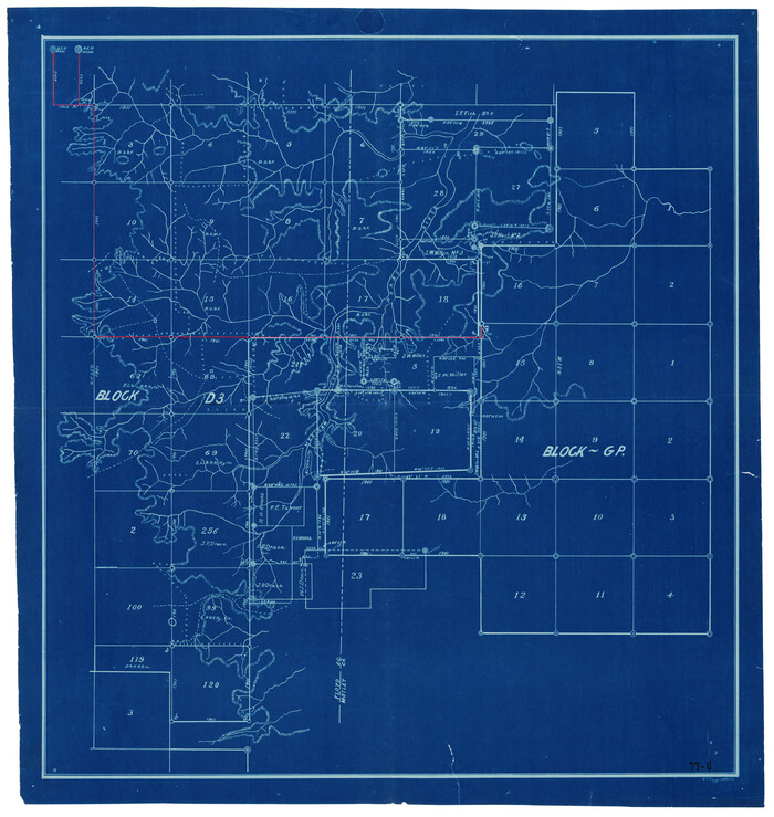

Print $20.00
- Digital $50.00
[Block D3, Floyd County and Block GP, Motley County]
Size: 19.1 x 20.2 inches
90836
Water-Shed of the Pease River Drainage Area


Print $6.00
- Digital $50.00
Water-Shed of the Pease River Drainage Area
Size: 14.9 x 31.0 inches
65102
Subdivision Map, Calhoun County School Land Leagues 1-4, Located in Hale and Floyd Counties
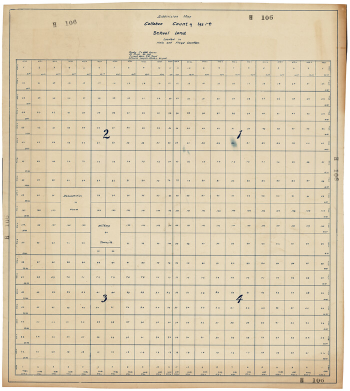

Print $20.00
- Digital $50.00
Subdivision Map, Calhoun County School Land Leagues 1-4, Located in Hale and Floyd Counties
Size: 28.1 x 31.5 inches
92660
Sketch in Floyd County


Print $20.00
- Digital $50.00
Sketch in Floyd County
1911
Size: 25.3 x 41.8 inches
90916
Plat Showing the Construction of Texas & Pacific Ry. Co. Blocks 3 & 4 As Located by G. A. Lider
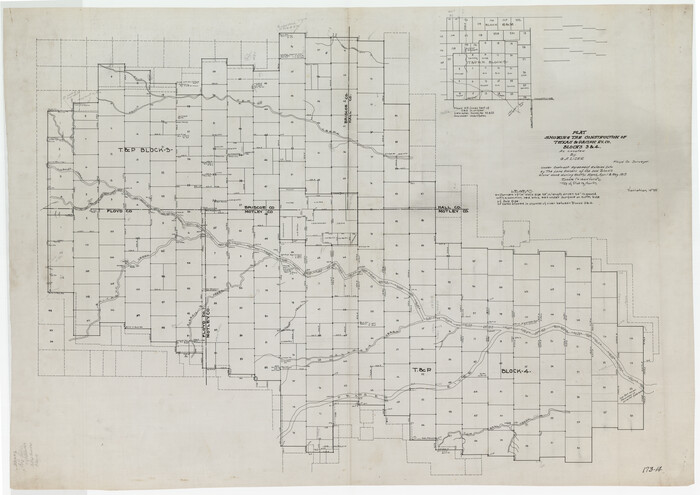

Print $40.00
- Digital $50.00
Plat Showing the Construction of Texas & Pacific Ry. Co. Blocks 3 & 4 As Located by G. A. Lider
1913
Size: 51.4 x 36.3 inches
89931
Motley County Sketch File B4 (N)


Print $20.00
- Digital $50.00
Motley County Sketch File B4 (N)
1900
Size: 23.5 x 25.8 inches
42151
Motley County Sketch File B (S)


Print $40.00
- Digital $50.00
Motley County Sketch File B (S)
Size: 14.2 x 12.4 inches
32157
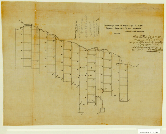
Motley County Sketch File 7 (N)

Print $20.00
- Digital $50.00
Motley County Sketch File 7 (N)
1901
Size: 16.0 x 19.8 inches
42140
Motley County Sketch File 6 (N)


Print $20.00
- Digital $50.00
Motley County Sketch File 6 (N)
1900
Size: 14.0 x 8.6 inches
32004
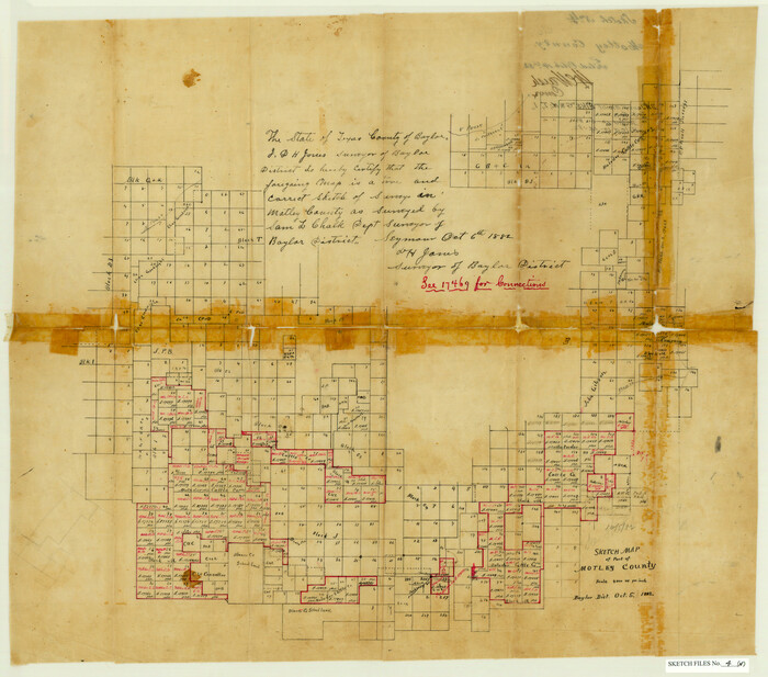
Motley County Sketch File 4 (N)

Print $20.00
- Digital $50.00
Motley County Sketch File 4 (N)
1882
Size: 18.3 x 20.8 inches
42137
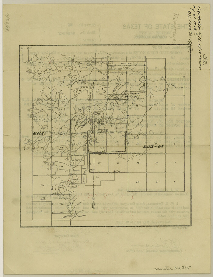
Motley County Sketch File 32 (S)

Print $4.00
- Digital $50.00
Motley County Sketch File 32 (S)
Size: 11.3 x 8.7 inches
32215
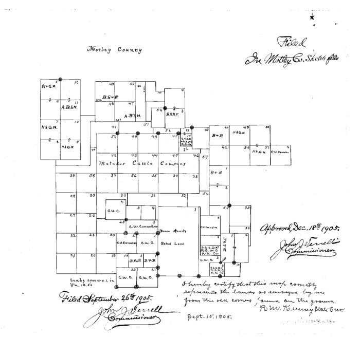
Motley County Sketch File 30 (S)

Print $40.00
- Digital $50.00
Motley County Sketch File 30 (S)
1905
Size: 16.1 x 17.1 inches
42147
Motley County Sketch File 28 (S)
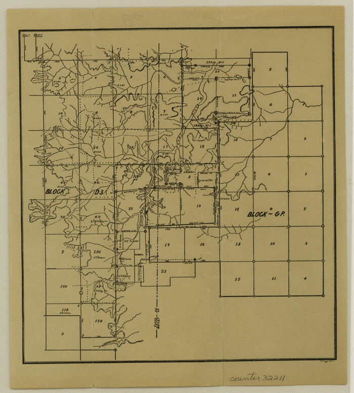

Print $4.00
- Digital $50.00
Motley County Sketch File 28 (S)
Size: 8.8 x 7.9 inches
32211
Motley County Sketch File 23 (S)


Print $2.00
- Digital $50.00
Motley County Sketch File 23 (S)
Size: 4.2 x 8.4 inches
32203
Motley County Sketch File 20 (S)
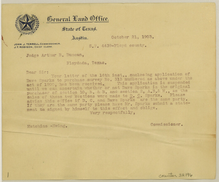

Print $14.00
- Digital $50.00
Motley County Sketch File 20 (S)
Size: 7.2 x 8.7 inches
32196
Motley County Sketch File 2 (S)
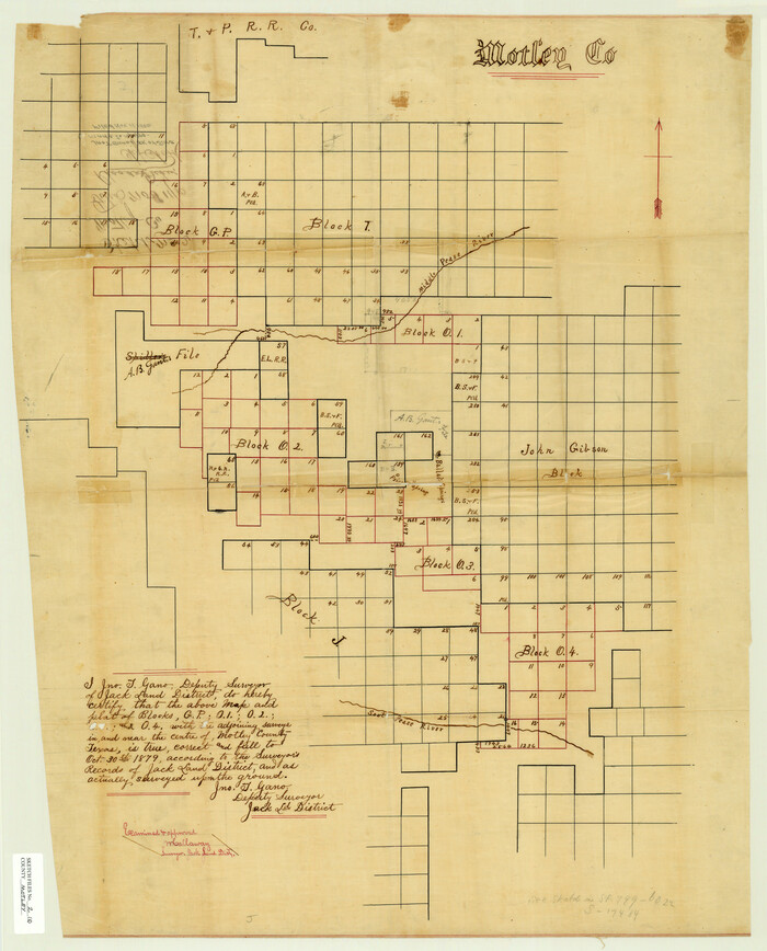

Print $20.00
- Digital $50.00
Motley County Sketch File 2 (S)
Size: 31.1 x 25.1 inches
42133
Motley County Sketch File 2 (N)
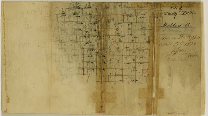

Print $22.00
- Digital $50.00
Motley County Sketch File 2 (N)
Size: 8.3 x 14.8 inches
31996
Motley County Sketch File 18 (S)


Print $28.00
- Digital $50.00
Motley County Sketch File 18 (S)
1902
Size: 13.0 x 8.0 inches
32192
Motley County Sketch File 18 (N)


Print $4.00
- Digital $50.00
Motley County Sketch File 18 (N)
1913
Size: 11.3 x 8.7 inches
32062
Motley County Sketch File 17 (N)


Print $4.00
- Digital $50.00
Motley County Sketch File 17 (N)
1913
Size: 8.7 x 7.8 inches
32060
Motley County Sketch File 13 (N)
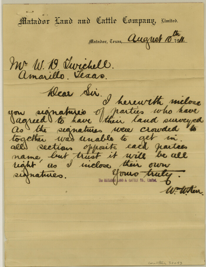

Print $10.00
- Digital $50.00
Motley County Sketch File 13 (N)
1911
Size: 11.1 x 8.6 inches
32043
Motley County Sketch File 10 (N)


Print $20.00
- Digital $50.00
Motley County Sketch File 10 (N)
1900
Size: 14.0 x 8.5 inches
32026
[Sketch of counties just south of the Panhandle]
![90913, [Sketch of counties just south of the Panhandle], Twichell Survey Records](https://historictexasmaps.com/wmedia_w700/maps/90913-1.tif.jpg)
![90913, [Sketch of counties just south of the Panhandle], Twichell Survey Records](https://historictexasmaps.com/wmedia_w700/maps/90913-1.tif.jpg)
Print $20.00
- Digital $50.00
[Sketch of counties just south of the Panhandle]
-
Size
42.7 x 34.8 inches
-
Map/Doc
90913
[Sketch of Blocks C2, C, D7, A, RG and San Augustine County School Land]
![93021, [Sketch of Blocks C2, C, D7, A, RG and San Augustine County School Land], Twichell Survey Records](https://historictexasmaps.com/wmedia_w700/maps/93021-1.tif.jpg)
![93021, [Sketch of Blocks C2, C, D7, A, RG and San Augustine County School Land], Twichell Survey Records](https://historictexasmaps.com/wmedia_w700/maps/93021-1.tif.jpg)
Print $20.00
- Digital $50.00
[Sketch of Blocks C2, C, D7, A, RG and San Augustine County School Land]
-
Size
15.5 x 25.8 inches
-
Map/Doc
93021
[Gulf, Colorado & Santa Fe Railroad Company Block G & M]
![90837, [Gulf, Colorado & Santa Fe Railroad Company Block G & M], Twichell Survey Records](https://historictexasmaps.com/wmedia_w700/maps/90837-2.tif.jpg)
![90837, [Gulf, Colorado & Santa Fe Railroad Company Block G & M], Twichell Survey Records](https://historictexasmaps.com/wmedia_w700/maps/90837-2.tif.jpg)
Print $20.00
- Digital $50.00
[Gulf, Colorado & Santa Fe Railroad Company Block G & M]
-
Size
18.6 x 9.2 inches
-
Map/Doc
90837
[Ector County Line Descriptions]
![92636, [Ector County Line Descriptions], Twichell Survey Records](https://historictexasmaps.com/wmedia_w700/maps/92636-1.tif.jpg)
![92636, [Ector County Line Descriptions], Twichell Survey Records](https://historictexasmaps.com/wmedia_w700/maps/92636-1.tif.jpg)
Print $20.00
- Digital $50.00
[Ector County Line Descriptions]
-
Size
37.2 x 44.2 inches
-
Map/Doc
92636
[Blocks in East Floyd County and West Motley County showing Blocks D2, D3, GM, GP and T]
![92113, [Blocks in East Floyd County and West Motley County showing Blocks D2, D3, GM, GP and T], Twichell Survey Records](https://historictexasmaps.com/wmedia_w700/maps/92113-1.tif.jpg)
![92113, [Blocks in East Floyd County and West Motley County showing Blocks D2, D3, GM, GP and T], Twichell Survey Records](https://historictexasmaps.com/wmedia_w700/maps/92113-1.tif.jpg)
Print $20.00
- Digital $50.00
[Blocks in East Floyd County and West Motley County showing Blocks D2, D3, GM, GP and T]
-
Size
22.2 x 10.9 inches
-
Map/Doc
92113
[Blocks N and B]
![90498, [Blocks N and B], Twichell Survey Records](https://historictexasmaps.com/wmedia_w700/maps/90498-1.tif.jpg)
![90498, [Blocks N and B], Twichell Survey Records](https://historictexasmaps.com/wmedia_w700/maps/90498-1.tif.jpg)
Print $3.00
- Digital $50.00
[Blocks N and B]
-
Size
10.0 x 11.4 inches
-
Map/Doc
90498
[Block N and part of Block B]
![90363, [Block N and part of Block B], Twichell Survey Records](https://historictexasmaps.com/wmedia_w700/maps/90363-1.tif.jpg)
![90363, [Block N and part of Block B], Twichell Survey Records](https://historictexasmaps.com/wmedia_w700/maps/90363-1.tif.jpg)
Print $3.00
- Digital $50.00
[Block N and part of Block B]
-
Size
9.6 x 12.8 inches
-
Map/Doc
90363
[Block D3, Floyd County and Block GP, Motley County]
![90836, [Block D3, Floyd County and Block GP, Motley County], Twichell Survey Records](https://historictexasmaps.com/wmedia_w700/maps/90836-2.tif.jpg)
![90836, [Block D3, Floyd County and Block GP, Motley County], Twichell Survey Records](https://historictexasmaps.com/wmedia_w700/maps/90836-2.tif.jpg)
Print $20.00
- Digital $50.00
[Block D3, Floyd County and Block GP, Motley County]
-
Size
19.1 x 20.2 inches
-
Map/Doc
90836
Young Territory


Print $20.00
- Digital $50.00
Young Territory
1865
-
Size
29.7 x 30.5 inches
-
Map/Doc
1978
-
Creation Date
1865
Water-Shed of the Pease River Drainage Area


Print $6.00
- Digital $50.00
Water-Shed of the Pease River Drainage Area
-
Size
14.9 x 31.0 inches
-
Map/Doc
65102
Subdivision Map, Calhoun County School Land Leagues 1-4, Located in Hale and Floyd Counties


Print $20.00
- Digital $50.00
Subdivision Map, Calhoun County School Land Leagues 1-4, Located in Hale and Floyd Counties
-
Size
28.1 x 31.5 inches
-
Map/Doc
92660
Sketch in Floyd County


Print $20.00
- Digital $50.00
Sketch in Floyd County
1911
-
Size
25.3 x 41.8 inches
-
Map/Doc
90916
-
Creation Date
1911
Plat Showing the Construction of Texas & Pacific Ry. Co. Blocks 3 & 4 As Located by G. A. Lider


Print $40.00
- Digital $50.00
Plat Showing the Construction of Texas & Pacific Ry. Co. Blocks 3 & 4 As Located by G. A. Lider
1913
-
Size
51.4 x 36.3 inches
-
Map/Doc
89931
-
Creation Date
1913
Motley County Sketch File B4 (N)


Print $20.00
- Digital $50.00
Motley County Sketch File B4 (N)
1900
-
Size
23.5 x 25.8 inches
-
Map/Doc
42151
-
Creation Date
1900
Motley County Sketch File B (S)


Print $40.00
- Digital $50.00
Motley County Sketch File B (S)
-
Size
14.2 x 12.4 inches
-
Map/Doc
32157
Motley County Sketch File 7 (N)


Print $20.00
- Digital $50.00
Motley County Sketch File 7 (N)
1901
-
Size
16.0 x 19.8 inches
-
Map/Doc
42140
-
Creation Date
1901
Motley County Sketch File 6 (N)


Print $20.00
- Digital $50.00
Motley County Sketch File 6 (N)
1900
-
Size
14.0 x 8.6 inches
-
Map/Doc
32004
-
Creation Date
1900
Motley County Sketch File 4 (N)


Print $20.00
- Digital $50.00
Motley County Sketch File 4 (N)
1882
-
Size
18.3 x 20.8 inches
-
Map/Doc
42137
-
Creation Date
1882
Motley County Sketch File 32 (S)


Print $4.00
- Digital $50.00
Motley County Sketch File 32 (S)
-
Size
11.3 x 8.7 inches
-
Map/Doc
32215
Motley County Sketch File 30 (S)


Print $40.00
- Digital $50.00
Motley County Sketch File 30 (S)
1905
-
Size
16.1 x 17.1 inches
-
Map/Doc
42147
-
Creation Date
1905
Motley County Sketch File 28 (S)


Print $4.00
- Digital $50.00
Motley County Sketch File 28 (S)
-
Size
8.8 x 7.9 inches
-
Map/Doc
32211
Motley County Sketch File 23 (S)


Print $2.00
- Digital $50.00
Motley County Sketch File 23 (S)
-
Size
4.2 x 8.4 inches
-
Map/Doc
32203
Motley County Sketch File 20 (S)


Print $14.00
- Digital $50.00
Motley County Sketch File 20 (S)
-
Size
7.2 x 8.7 inches
-
Map/Doc
32196
Motley County Sketch File 2 (S)


Print $20.00
- Digital $50.00
Motley County Sketch File 2 (S)
-
Size
31.1 x 25.1 inches
-
Map/Doc
42133
Motley County Sketch File 2 (N)


Print $22.00
- Digital $50.00
Motley County Sketch File 2 (N)
-
Size
8.3 x 14.8 inches
-
Map/Doc
31996
Motley County Sketch File 18 (S)


Print $28.00
- Digital $50.00
Motley County Sketch File 18 (S)
1902
-
Size
13.0 x 8.0 inches
-
Map/Doc
32192
-
Creation Date
1902
Motley County Sketch File 18 (N)


Print $4.00
- Digital $50.00
Motley County Sketch File 18 (N)
1913
-
Size
11.3 x 8.7 inches
-
Map/Doc
32062
-
Creation Date
1913
Motley County Sketch File 17 (N)


Print $4.00
- Digital $50.00
Motley County Sketch File 17 (N)
1913
-
Size
8.7 x 7.8 inches
-
Map/Doc
32060
-
Creation Date
1913
Motley County Sketch File 13 (N)


Print $10.00
- Digital $50.00
Motley County Sketch File 13 (N)
1911
-
Size
11.1 x 8.6 inches
-
Map/Doc
32043
-
Creation Date
1911
Motley County Sketch File 10 (N)


Print $20.00
- Digital $50.00
Motley County Sketch File 10 (N)
1900
-
Size
14.0 x 8.5 inches
-
Map/Doc
32026
-
Creation Date
1900