123 results

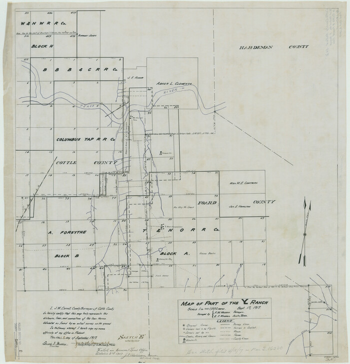
Cottle County Rolled Sketch E
8674.tif
Print $20.00 - Digital $50.00

Cottle County Rolled Sketch E

1917

Size: 29.9 x 28.7 inches
8674
Cottle County Sketch File 2
76757, Cottle County Sketch File 2, General Map Collection
Print $20.00 - Digital $50.00

Cottle County Sketch File 2

1882

Size: 32.9 x 19.6 inches
76757
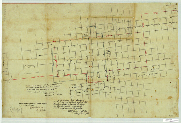
Cottle County Sketch File 6
11190, Cottle County Sketch File 6, General Map Collection
Print $20.00 - Digital $50.00

Cottle County Sketch File 6

1883

Size: 20.3 x 29.8 inches
11190
Cottle County Sketch File 9
19487, Cottle County Sketch File 9, General Map Collection
Print $6.00 - Digital $50.00

Cottle County Sketch File 9

1893

Size: 16.4 x 10.8 inches
19487
Cottle County Sketch File F
19444, Cottle County Sketch File F, General Map Collection
Print $6.00 - Digital $50.00

Cottle County Sketch File F

1935

Size: 11.5 x 8.8 inches
19444
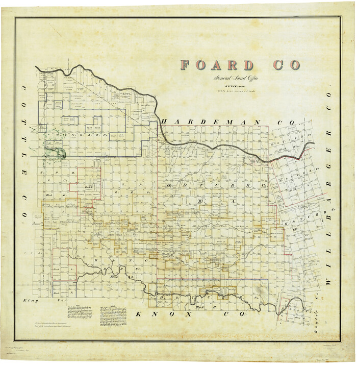
Foard Co.
4948.tif
Print $20.00 - Digital $50.00

Foard Co.

1891

Size: 43.8 x 42.8 inches
4948
Foard Co.
66826.tif
Print $20.00 - Digital $50.00

Foard Co.

1891

Size: 38.3 x 43.4 inches
66826
Foard Co.
66827.tif
Print $20.00 - Digital $50.00

Foard Co.

1891

Size: 39.2 x 42.5 inches
66827
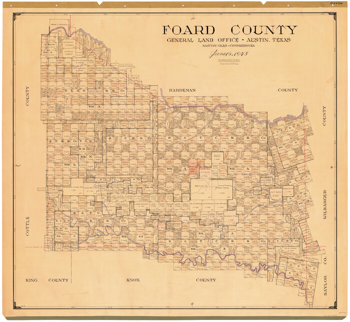
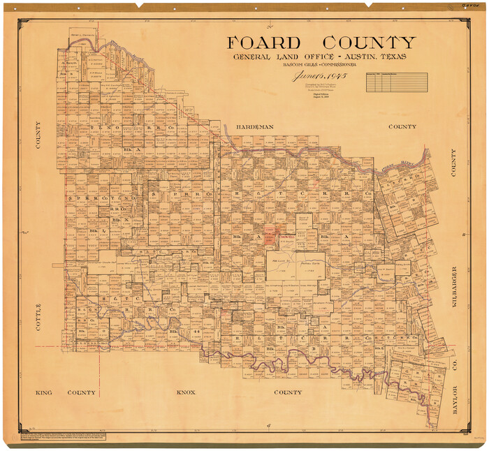
Foard County
1828-1.tif
Print $20.00 - Digital $50.00

Foard County

1945

Size: 38.6 x 42.5 inches
1828
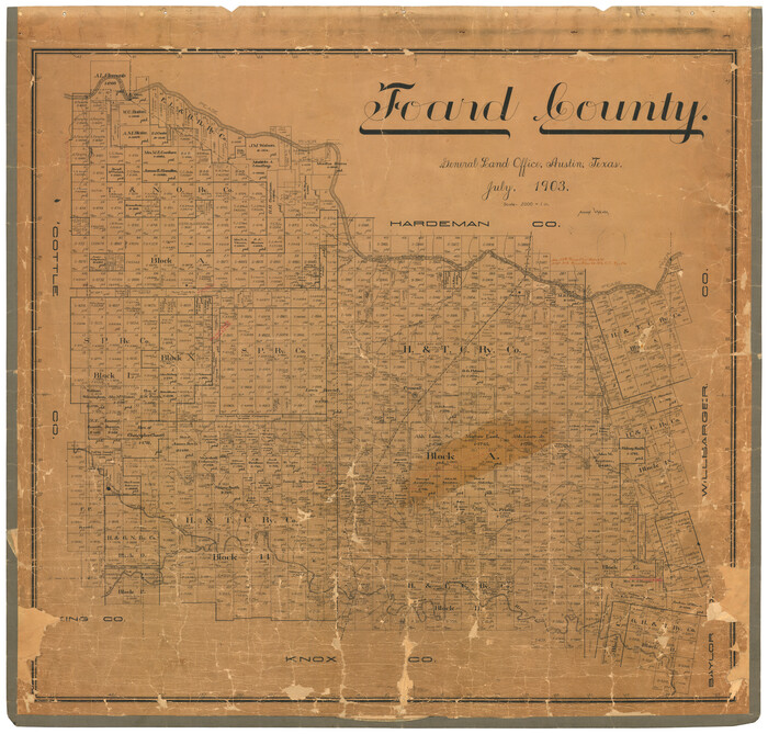
Foard County
4701-1.tif
Print $20.00 - Digital $50.00

Foard County

1903

Size: 39.3 x 41.3 inches
4701
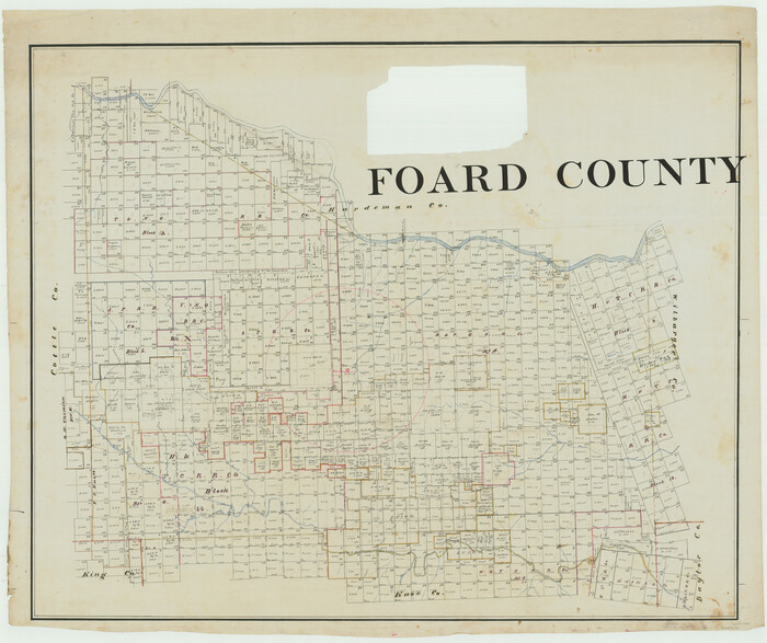
Foard County
66825.tif
Print $20.00 - Digital $50.00

Foard County

Size: 37.2 x 44.3 inches
66825
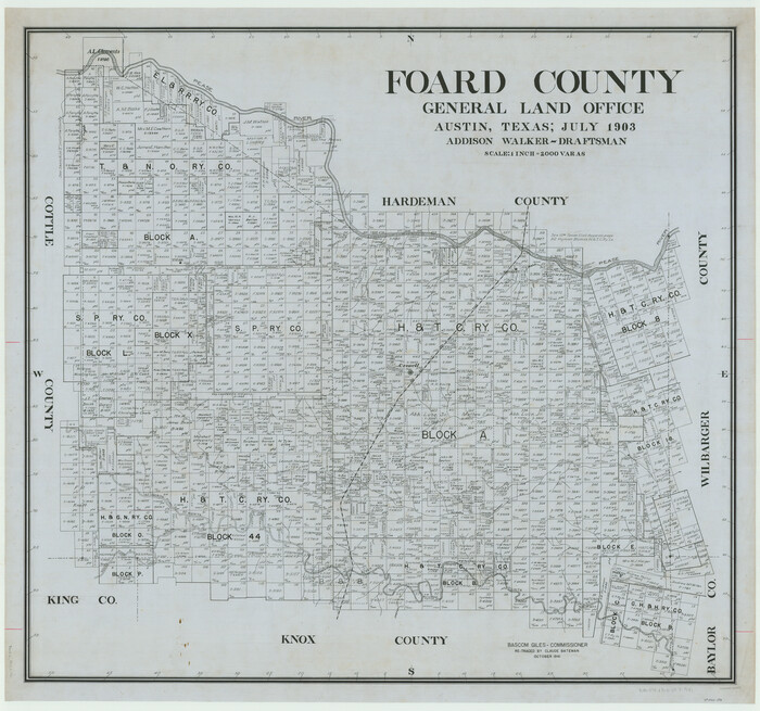
Foard County
66828.tif
Print $20.00 - Digital $50.00

Foard County

1903

Size: 38.3 x 40.9 inches
66828
Foard County
66829.tif
Print $20.00 - Digital $50.00

Foard County

1903

Size: 37.9 x 40.6 inches
66829
Foard County
73149.tif
Print $20.00 - Digital $50.00

Foard County

1945

Size: 39.3 x 42.3 inches
73149
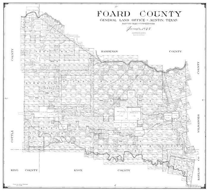
Foard County
77281.tif
Print $20.00 - Digital $50.00

Foard County

1945

Size: 37.5 x 40.6 inches
77281
Foard County
95499.tif
Print $20.00 - Digital $50.00

Foard County

1945

Size: 40.9 x 43.8 inches
95499
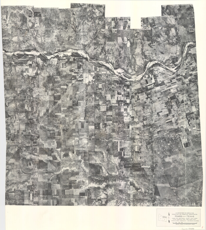
Foard County Aerial Photograph Index Sheet 1
83688, Foard County Aerial Photograph Index Sheet 1, General Map Collection
Print $20.00 - Digital $50.00

Foard County Aerial Photograph Index Sheet 1

1950

Size: 19.2 x 17.2 inches
83688
Foard County Aerial Photograph Index Sheet 2
83689, Foard County Aerial Photograph Index Sheet 2, General Map Collection
Print $20.00 - Digital $50.00

Foard County Aerial Photograph Index Sheet 2

1950

Size: 22.1 x 18.8 inches
83689
Foard County Aerial Photograph Index Sheet 3
83690, Foard County Aerial Photograph Index Sheet 3, General Map Collection
Print $20.00 - Digital $50.00

Foard County Aerial Photograph Index Sheet 3

1950
Size: 20.3 x 18.9 inches
83690
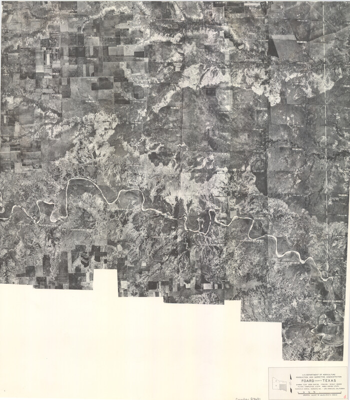
Foard County Aerial Photograph Index Sheet 4
83691, Foard County Aerial Photograph Index Sheet 4, General Map Collection
Print $20.00 - Digital $50.00

Foard County Aerial Photograph Index Sheet 4

1950

Size: 18.6 x 16.3 inches
83691
Foard County Boundary File 1
53500, Foard County Boundary File 1, General Map Collection
Print $8.00 - Digital $50.00

Foard County Boundary File 1

Size: 9.1 x 4.1 inches
53500
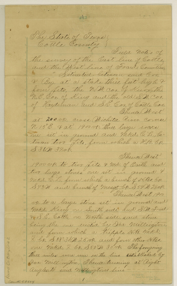
Foard County Boundary File 2
53504, Foard County Boundary File 2, General Map Collection
Print $20.00 - Digital $50.00

Foard County Boundary File 2

Size: 14.3 x 8.8 inches
53504
Foard County Boundary File 2a
53514, Foard County Boundary File 2a, General Map Collection
Print $40.00 - Digital $50.00

Foard County Boundary File 2a

Size: 33.2 x 14.7 inches
53514
Foard County Boundary File 3
53516, Foard County Boundary File 3, General Map Collection
Print $48.00 - Digital $50.00

Foard County Boundary File 3

Size: 24.2 x 6.0 inches
53516
Foard County Boundary File 4
53524, Foard County Boundary File 4, General Map Collection
Print $24.00 - Digital $50.00

Foard County Boundary File 4

Size: 14.2 x 8.8 inches
53524
Foard County Boundary File 4a
53522, Foard County Boundary File 4a, General Map Collection
Print $40.00 - Digital $50.00

Foard County Boundary File 4a

Size: 16.9 x 45.4 inches
53522
Foard County Boundary File 5
53536, Foard County Boundary File 5, General Map Collection
Print $20.00 - Digital $50.00

Foard County Boundary File 5

Size: 10.3 x 8.8 inches
53536
Foard County Boundary File 5a
53546, Foard County Boundary File 5a, General Map Collection
Print $40.00 - Digital $50.00

Foard County Boundary File 5a

Size: 18.2 x 44.4 inches
53546
Foard County Boundary File 6
53548, Foard County Boundary File 6, General Map Collection
Print $10.00 - Digital $50.00

Foard County Boundary File 6

Size: 7.2 x 8.7 inches
53548
Foard County Rolled Sketch 11
5885.tif
Print $20.00 - Digital $50.00

Foard County Rolled Sketch 11

Size: 29.2 x 35.6 inches
5885
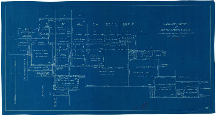
Cottle County Rolled Sketch E
8674, Cottle County Rolled Sketch E, General Map Collection
Print $20.00 - Digital $50.00

Cottle County Rolled Sketch E

1917

  • Size

    29.9 x 28.7 inches

  • Map/Doc

    8674

  • Creation Date

    1917

Cottle County Sketch File 2
76757, Cottle County Sketch File 2, General Map Collection
Print $20.00 - Digital $50.00

Cottle County Sketch File 2

1882

  • Size

    32.9 x 19.6 inches

  • Map/Doc

    76757

  • Creation Date

    1882

Cottle County Sketch File 6
11190, Cottle County Sketch File 6, General Map Collection
Print $20.00 - Digital $50.00

Cottle County Sketch File 6

1883

  • Size

    20.3 x 29.8 inches

  • Map/Doc

    11190

  • Creation Date

    1883

Cottle County Sketch File 9
19487, Cottle County Sketch File 9, General Map Collection
Print $6.00 - Digital $50.00

Cottle County Sketch File 9

1893

  • Size

    16.4 x 10.8 inches

  • Map/Doc

    19487

  • Creation Date

    1893

Cottle County Sketch File F
19444, Cottle County Sketch File F, General Map Collection
Print $6.00 - Digital $50.00

Cottle County Sketch File F

1935

  • Size

    11.5 x 8.8 inches

  • Map/Doc

    19444

  • Creation Date

    1935

Foard Co.
4948, Foard Co., General Map Collection
Print $20.00 - Digital $50.00

Foard Co.

1891

  • Size

    43.8 x 42.8 inches

  • Map/Doc

    4948

  • Creation Date

    1891

Foard Co.
66826, Foard Co., General Map Collection
Print $20.00 - Digital $50.00

Foard Co.

1891

  • Size

    38.3 x 43.4 inches

  • Map/Doc

    66826

  • Creation Date

    1891

Foard Co.
66827, Foard Co., General Map Collection
Print $20.00 - Digital $50.00

Foard Co.

1891

  • Size

    39.2 x 42.5 inches

  • Map/Doc

    66827

  • Creation Date

    1891

Foard County
1828, Foard County, General Map Collection
Print $20.00 - Digital $50.00

Foard County

1945

  • Size

    38.6 x 42.5 inches

  • Map/Doc

    1828

  • Creation Date

    1945

Foard County
4701, Foard County, General Map Collection
Print $20.00 - Digital $50.00

Foard County

1903

  • Size

    39.3 x 41.3 inches

  • Map/Doc

    4701

  • Creation Date

    1903

Foard County
66825, Foard County, General Map Collection
Print $20.00 - Digital $50.00

Foard County

  • Size

    37.2 x 44.3 inches

  • Map/Doc

    66825

Foard County
66828, Foard County, General Map Collection
Print $20.00 - Digital $50.00

Foard County

1903

  • Size

    38.3 x 40.9 inches

  • Map/Doc

    66828

  • Creation Date

    1903

Foard County
66829, Foard County, General Map Collection
Print $20.00 - Digital $50.00

Foard County

1903

  • Size

    37.9 x 40.6 inches

  • Map/Doc

    66829

  • Creation Date

    1903

Foard County
73149, Foard County, General Map Collection
Print $20.00 - Digital $50.00

Foard County

1945

  • Size

    39.3 x 42.3 inches

  • Map/Doc

    73149

  • Creation Date

    1945

Foard County
77281, Foard County, General Map Collection
Print $20.00 - Digital $50.00

Foard County

1945

  • Size

    37.5 x 40.6 inches

  • Map/Doc

    77281

  • Creation Date

    1945

Foard County
95499, Foard County, General Map Collection
Print $20.00 - Digital $50.00

Foard County

1945

  • Size

    40.9 x 43.8 inches

  • Map/Doc

    95499

  • Creation Date

    1945

Foard County Aerial Photograph Index Sheet 1
83688, Foard County Aerial Photograph Index Sheet 1, General Map Collection
Print $20.00 - Digital $50.00

Foard County Aerial Photograph Index Sheet 1

1950

  • Size

    19.2 x 17.2 inches

  • Map/Doc

    83688

  • Creation Date

    1950

Foard County Aerial Photograph Index Sheet 2
83689, Foard County Aerial Photograph Index Sheet 2, General Map Collection
Print $20.00 - Digital $50.00

Foard County Aerial Photograph Index Sheet 2

1950

  • Size

    22.1 x 18.8 inches

  • Map/Doc

    83689

  • Creation Date

    1950

Foard County Aerial Photograph Index Sheet 3
83690, Foard County Aerial Photograph Index Sheet 3, General Map Collection
Print $20.00 - Digital $50.00

Foard County Aerial Photograph Index Sheet 3

1950

  • Size

    20.3 x 18.9 inches

  • Map/Doc

    83690

  • Creation Date

    1950

Foard County Aerial Photograph Index Sheet 4
83691, Foard County Aerial Photograph Index Sheet 4, General Map Collection
Print $20.00 - Digital $50.00

Foard County Aerial Photograph Index Sheet 4

1950

  • Size

    18.6 x 16.3 inches

  • Map/Doc

    83691

  • Creation Date

    1950

Foard County Boundary File 1
53500, Foard County Boundary File 1, General Map Collection
Print $8.00 - Digital $50.00

Foard County Boundary File 1

  • Size

    9.1 x 4.1 inches

  • Map/Doc

    53500

Foard County Boundary File 2
53504, Foard County Boundary File 2, General Map Collection
Print $20.00 - Digital $50.00

Foard County Boundary File 2

  • Size

    14.3 x 8.8 inches

  • Map/Doc

    53504

Foard County Boundary File 2a
53514, Foard County Boundary File 2a, General Map Collection
Print $40.00 - Digital $50.00

Foard County Boundary File 2a

  • Size

    33.2 x 14.7 inches

  • Map/Doc

    53514

Foard County Boundary File 3
53516, Foard County Boundary File 3, General Map Collection
Print $48.00 - Digital $50.00

Foard County Boundary File 3

  • Size

    24.2 x 6.0 inches

  • Map/Doc

    53516

Foard County Boundary File 4
53524, Foard County Boundary File 4, General Map Collection
Print $24.00 - Digital $50.00

Foard County Boundary File 4

  • Size

    14.2 x 8.8 inches

  • Map/Doc

    53524

Foard County Boundary File 4a
53522, Foard County Boundary File 4a, General Map Collection
Print $40.00 - Digital $50.00

Foard County Boundary File 4a

  • Size

    16.9 x 45.4 inches

  • Map/Doc

    53522

Foard County Boundary File 5
53536, Foard County Boundary File 5, General Map Collection
Print $20.00 - Digital $50.00

Foard County Boundary File 5

  • Size

    10.3 x 8.8 inches

  • Map/Doc

    53536

Foard County Boundary File 5a
53546, Foard County Boundary File 5a, General Map Collection
Print $40.00 - Digital $50.00

Foard County Boundary File 5a

  • Size

    18.2 x 44.4 inches

  • Map/Doc

    53546

Foard County Boundary File 6
53548, Foard County Boundary File 6, General Map Collection
Print $10.00 - Digital $50.00

Foard County Boundary File 6

  • Size

    7.2 x 8.7 inches

  • Map/Doc

    53548

Foard County Rolled Sketch 11
5885, Foard County Rolled Sketch 11, General Map Collection
Print $20.00 - Digital $50.00

Foard County Rolled Sketch 11

  • Size

    29.2 x 35.6 inches

  • Map/Doc

    5885