Hardeman County Sketch File 1


Print $20.00
- Digital $50.00
Hardeman County Sketch File 1
Size: 31.0 x 45.7 inches
10477
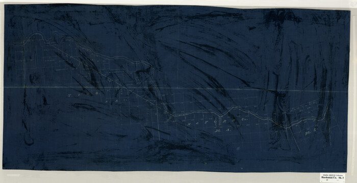
[Sketch Showing Surveys on Pease River in Hardeman County, Texas]

Print $20.00
- Digital $50.00
[Sketch Showing Surveys on Pease River in Hardeman County, Texas]
Size: 19.2 x 37.5 inches
10760
Foard County Sketch File 2


Print $40.00
- Digital $50.00
Foard County Sketch File 2
Size: 23.8 x 16.3 inches
11490
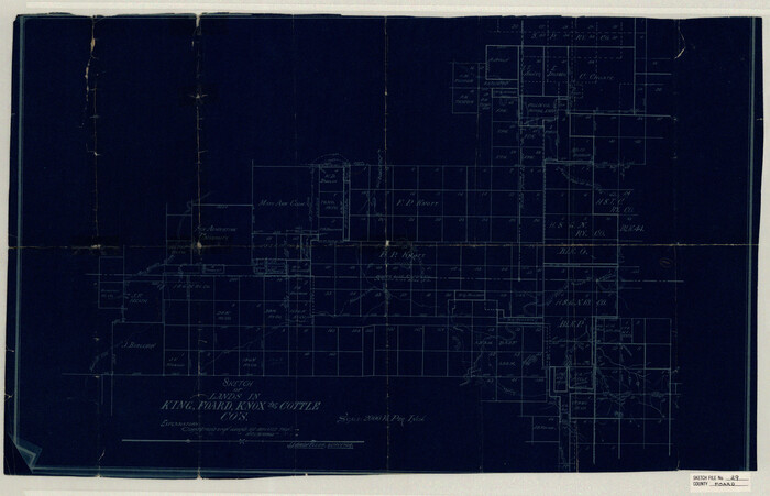
Foard County Sketch File 29

Print $20.00
- Digital $50.00
Foard County Sketch File 29
Size: 18.9 x 29.4 inches
11494
Foard County Sketch File 35


Print $20.00
- Digital $50.00
Foard County Sketch File 35
Size: 26.4 x 25.7 inches
11496
Foard County Sketch File 36


Print $20.00
- Digital $50.00
Foard County Sketch File 36
Size: 15.4 x 28.0 inches
11498
Hardeman County Sketch File 15


Print $20.00
- Digital $50.00
Hardeman County Sketch File 15
Size: 18.9 x 17.9 inches
11627
Hardeman County Sketch File A2


Print $20.00
- Digital $50.00
Hardeman County Sketch File A2
Size: 28.5 x 17.3 inches
11631
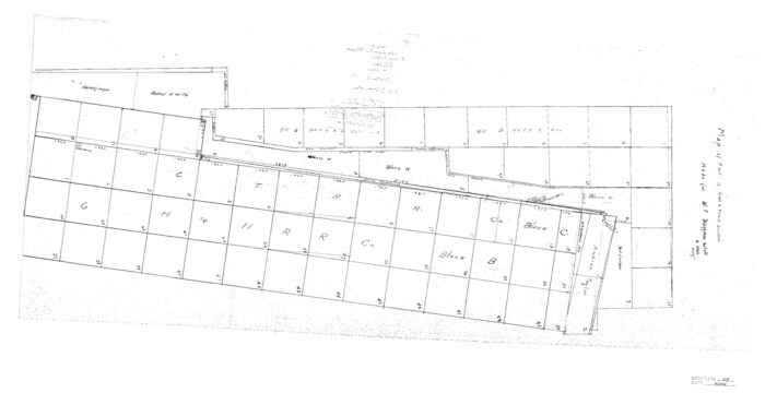
Knox County Sketch File 29

Print $20.00
- Digital $50.00
Knox County Sketch File 29
Size: 18.6 x 36.1 inches
11965
Foard County Sketch File X1


Print $40.00
- Digital $50.00
Foard County Sketch File X1
Size: 17.6 x 14.2 inches
22800
Foard County Sketch File 1


Print $6.00
- Digital $50.00
Foard County Sketch File 1
Size: 10.0 x 9.5 inches
22804
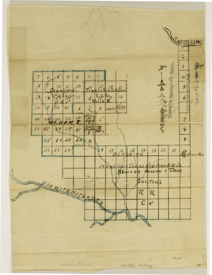
Foard County Sketch File 4

Print $5.00
- Digital $50.00
Foard County Sketch File 4
Size: 12.4 x 9.5 inches
22806
Foard County Sketch File 8


Print $6.00
- Digital $50.00
Foard County Sketch File 8
Size: 10.5 x 11.8 inches
22810
Foard County Sketch File 11
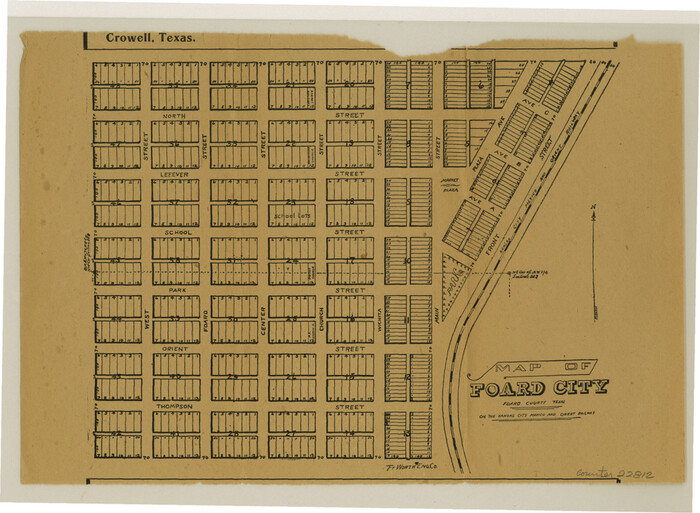

Print $4.00
- Digital $50.00
Foard County Sketch File 11
Size: 7.7 x 10.5 inches
22812
Foard County Sketch File 21
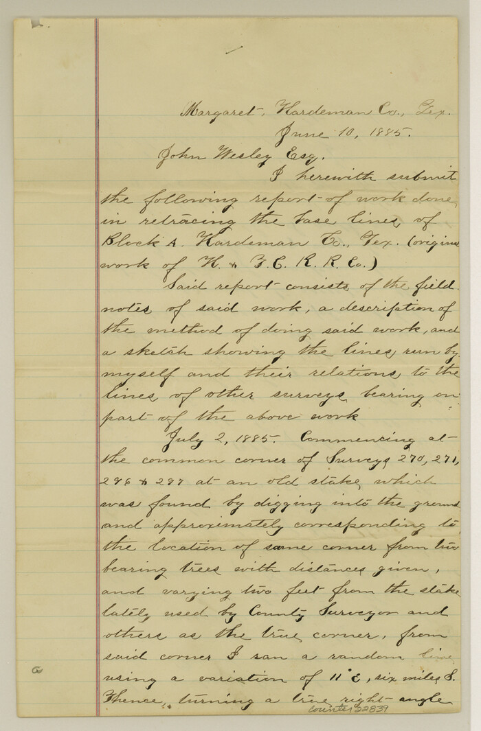

Print $14.00
- Digital $50.00
Foard County Sketch File 21
Size: 13.1 x 8.6 inches
22839
Foard County Sketch File 23
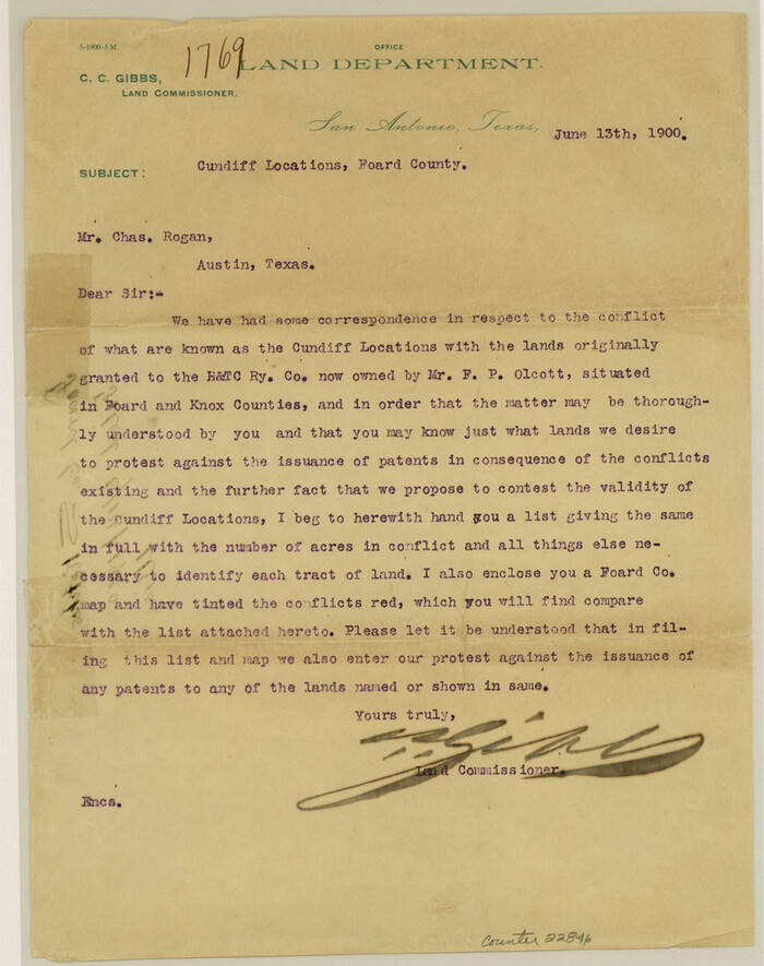

Print $32.00
- Digital $50.00
Foard County Sketch File 23
Size: 11.3 x 9.0 inches
22846
Foard County Sketch File 26
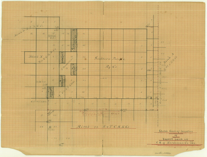

Print $40.00
- Digital $50.00
Foard County Sketch File 26
Size: 13.5 x 17.7 inches
22856
Foard County Sketch File 30


Print $6.00
- Digital $50.00
Foard County Sketch File 30
Size: 9.1 x 8.2 inches
22858
Hardeman County Sketch File 4


Print $6.00
- Digital $50.00
Hardeman County Sketch File 4
Size: 9.3 x 8.2 inches
24991
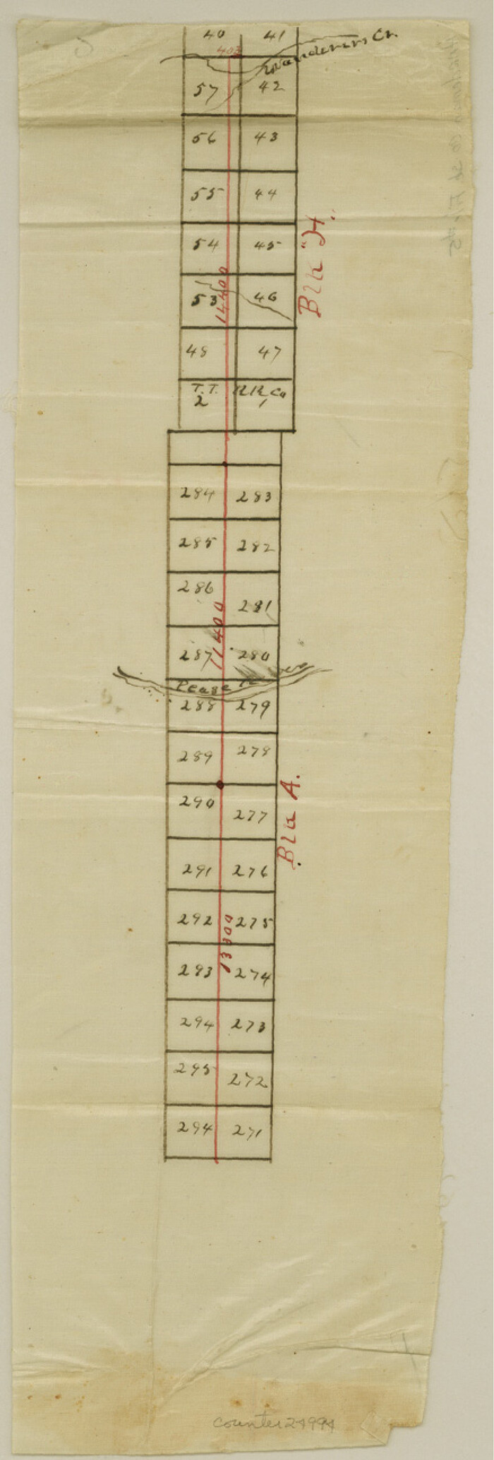
Hardeman County Sketch File 5

Print $6.00
- Digital $50.00
Hardeman County Sketch File 5
Size: 12.9 x 4.4 inches
24994
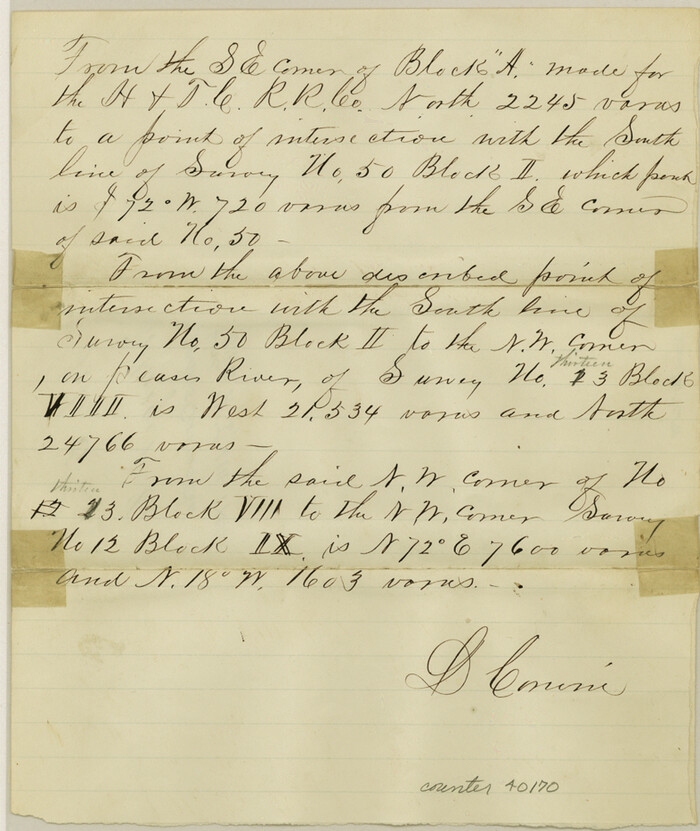
Wilbarger County Sketch File 5

Print $4.00
- Digital $50.00
Wilbarger County Sketch File 5
Size: 9.3 x 7.9 inches
40170
Wilbarger County Sketch File 25


Print $6.00
- Digital $50.00
Wilbarger County Sketch File 25
Size: 11.0 x 16.7 inches
40225
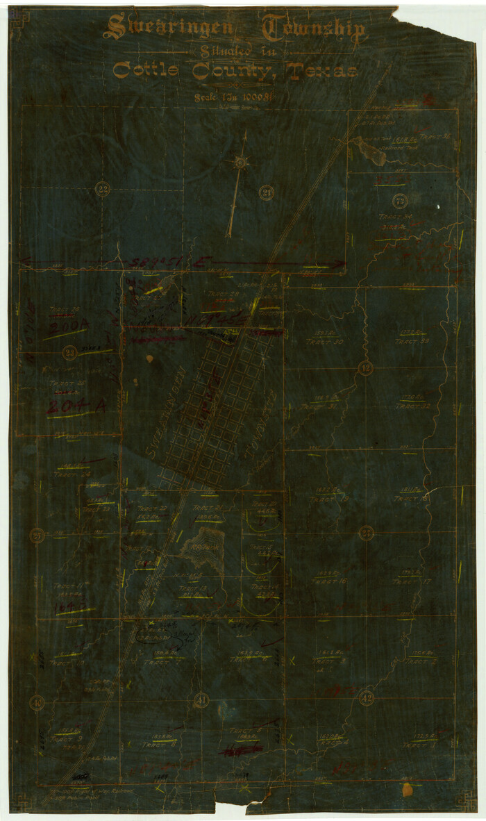
Swearingen Township situated in Cottle County, Texas

Print $20.00
- Digital $50.00
Swearingen Township situated in Cottle County, Texas
Size: 26.4 x 15.7 inches
4437
Foard County Boundary File 1


Print $8.00
- Digital $50.00
Foard County Boundary File 1
Size: 9.1 x 4.1 inches
53500
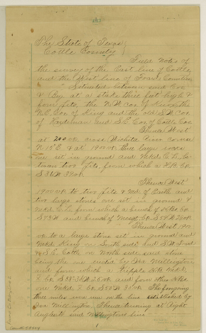
Foard County Boundary File 2

Print $20.00
- Digital $50.00
Foard County Boundary File 2
Size: 14.3 x 8.8 inches
53504
Foard County Boundary File 2a


Print $40.00
- Digital $50.00
Foard County Boundary File 2a
Size: 33.2 x 14.7 inches
53514
Foard County Boundary File 3


Print $48.00
- Digital $50.00
Foard County Boundary File 3
Size: 24.2 x 6.0 inches
53516
Foard County Boundary File 4a


Print $40.00
- Digital $50.00
Foard County Boundary File 4a
Size: 16.9 x 45.4 inches
53522
Foard County Boundary File 4


Print $24.00
- Digital $50.00
Foard County Boundary File 4
Size: 14.2 x 8.8 inches
53524
Foard County Boundary File 5
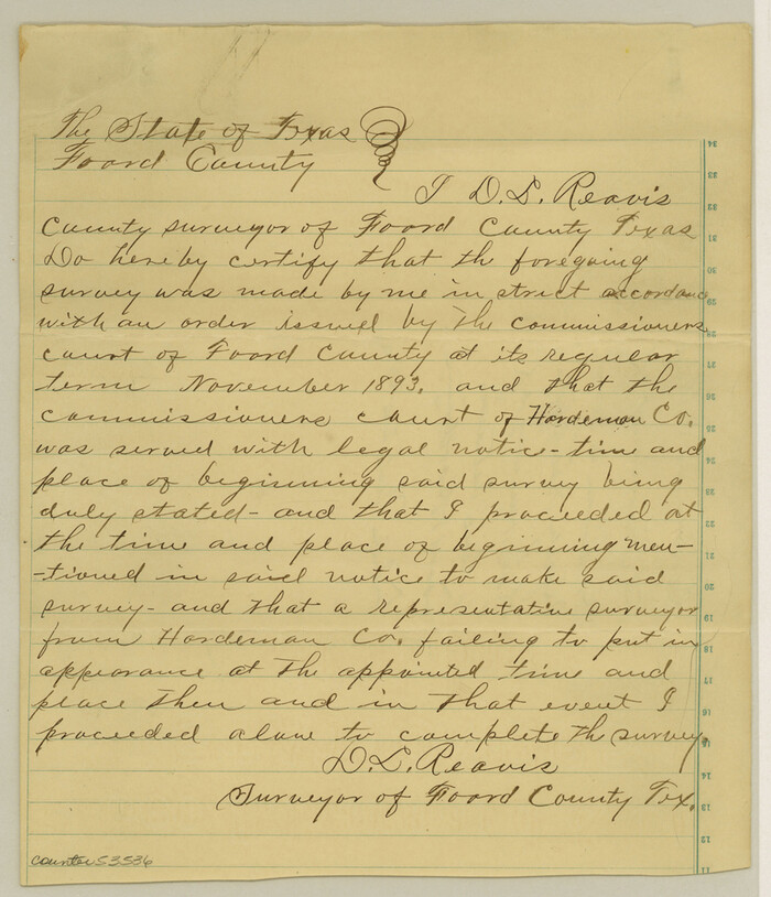

Print $20.00
- Digital $50.00
Foard County Boundary File 5
Size: 10.3 x 8.8 inches
53536
Hardeman County Sketch File 1


Print $20.00
- Digital $50.00
Hardeman County Sketch File 1
-
Size
31.0 x 45.7 inches
-
Map/Doc
10477
[Sketch Showing Surveys on Pease River in Hardeman County, Texas]
![10760, [Sketch Showing Surveys on Pease River in Hardeman County, Texas], Maddox Collection](https://historictexasmaps.com/wmedia_w700/maps/10760.tif.jpg)
![10760, [Sketch Showing Surveys on Pease River in Hardeman County, Texas], Maddox Collection](https://historictexasmaps.com/wmedia_w700/maps/10760.tif.jpg)
Print $20.00
- Digital $50.00
[Sketch Showing Surveys on Pease River in Hardeman County, Texas]
-
Size
19.2 x 37.5 inches
-
Map/Doc
10760
Foard County Sketch File 2


Print $40.00
- Digital $50.00
Foard County Sketch File 2
-
Size
23.8 x 16.3 inches
-
Map/Doc
11490
Foard County Sketch File 29


Print $20.00
- Digital $50.00
Foard County Sketch File 29
-
Size
18.9 x 29.4 inches
-
Map/Doc
11494
Foard County Sketch File 35


Print $20.00
- Digital $50.00
Foard County Sketch File 35
-
Size
26.4 x 25.7 inches
-
Map/Doc
11496
Foard County Sketch File 36


Print $20.00
- Digital $50.00
Foard County Sketch File 36
-
Size
15.4 x 28.0 inches
-
Map/Doc
11498
Hardeman County Sketch File 15


Print $20.00
- Digital $50.00
Hardeman County Sketch File 15
-
Size
18.9 x 17.9 inches
-
Map/Doc
11627
Hardeman County Sketch File A2


Print $20.00
- Digital $50.00
Hardeman County Sketch File A2
-
Size
28.5 x 17.3 inches
-
Map/Doc
11631
Knox County Sketch File 29


Print $20.00
- Digital $50.00
Knox County Sketch File 29
-
Size
18.6 x 36.1 inches
-
Map/Doc
11965
Foard County Sketch File X1


Print $40.00
- Digital $50.00
Foard County Sketch File X1
-
Size
17.6 x 14.2 inches
-
Map/Doc
22800
Foard County Sketch File 1


Print $6.00
- Digital $50.00
Foard County Sketch File 1
-
Size
10.0 x 9.5 inches
-
Map/Doc
22804
Foard County Sketch File 4


Print $5.00
- Digital $50.00
Foard County Sketch File 4
-
Size
12.4 x 9.5 inches
-
Map/Doc
22806
Foard County Sketch File 8


Print $6.00
- Digital $50.00
Foard County Sketch File 8
-
Size
10.5 x 11.8 inches
-
Map/Doc
22810
Foard County Sketch File 11


Print $4.00
- Digital $50.00
Foard County Sketch File 11
-
Size
7.7 x 10.5 inches
-
Map/Doc
22812
Foard County Sketch File 21


Print $14.00
- Digital $50.00
Foard County Sketch File 21
-
Size
13.1 x 8.6 inches
-
Map/Doc
22839
Foard County Sketch File 23


Print $32.00
- Digital $50.00
Foard County Sketch File 23
-
Size
11.3 x 9.0 inches
-
Map/Doc
22846
Foard County Sketch File 26


Print $40.00
- Digital $50.00
Foard County Sketch File 26
-
Size
13.5 x 17.7 inches
-
Map/Doc
22856
Foard County Sketch File 30


Print $6.00
- Digital $50.00
Foard County Sketch File 30
-
Size
9.1 x 8.2 inches
-
Map/Doc
22858
Hardeman County Sketch File 4


Print $6.00
- Digital $50.00
Hardeman County Sketch File 4
-
Size
9.3 x 8.2 inches
-
Map/Doc
24991
Hardeman County Sketch File 5


Print $6.00
- Digital $50.00
Hardeman County Sketch File 5
-
Size
12.9 x 4.4 inches
-
Map/Doc
24994
Wilbarger County Sketch File 5


Print $4.00
- Digital $50.00
Wilbarger County Sketch File 5
-
Size
9.3 x 7.9 inches
-
Map/Doc
40170
Wilbarger County Sketch File 25


Print $6.00
- Digital $50.00
Wilbarger County Sketch File 25
-
Size
11.0 x 16.7 inches
-
Map/Doc
40225
Swearingen Township situated in Cottle County, Texas


Print $20.00
- Digital $50.00
Swearingen Township situated in Cottle County, Texas
-
Size
26.4 x 15.7 inches
-
Map/Doc
4437
Foard County Boundary File 1


Print $8.00
- Digital $50.00
Foard County Boundary File 1
-
Size
9.1 x 4.1 inches
-
Map/Doc
53500
Foard County Boundary File 2


Print $20.00
- Digital $50.00
Foard County Boundary File 2
-
Size
14.3 x 8.8 inches
-
Map/Doc
53504
Foard County Boundary File 2a


Print $40.00
- Digital $50.00
Foard County Boundary File 2a
-
Size
33.2 x 14.7 inches
-
Map/Doc
53514
Foard County Boundary File 3


Print $48.00
- Digital $50.00
Foard County Boundary File 3
-
Size
24.2 x 6.0 inches
-
Map/Doc
53516
Foard County Boundary File 4a


Print $40.00
- Digital $50.00
Foard County Boundary File 4a
-
Size
16.9 x 45.4 inches
-
Map/Doc
53522
Foard County Boundary File 4


Print $24.00
- Digital $50.00
Foard County Boundary File 4
-
Size
14.2 x 8.8 inches
-
Map/Doc
53524
Foard County Boundary File 5


Print $20.00
- Digital $50.00
Foard County Boundary File 5
-
Size
10.3 x 8.8 inches
-
Map/Doc
53536