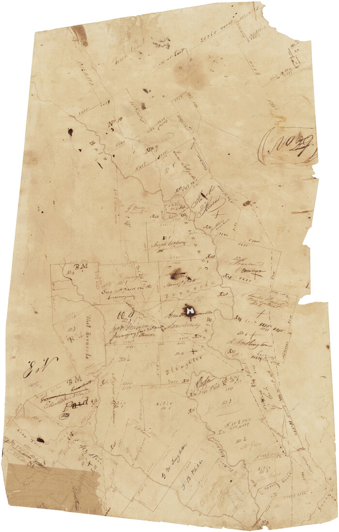
[Surveys in Austin's Colony along the San Bernardo River, West Bernardo River, and Lone Tree Creek]

Print $20.00
- Digital $50.00
[Surveys in Austin's Colony along the San Bernardo River, West Bernardo River, and Lone Tree Creek]
1830
Size: 28.3 x 17.8 inches
194
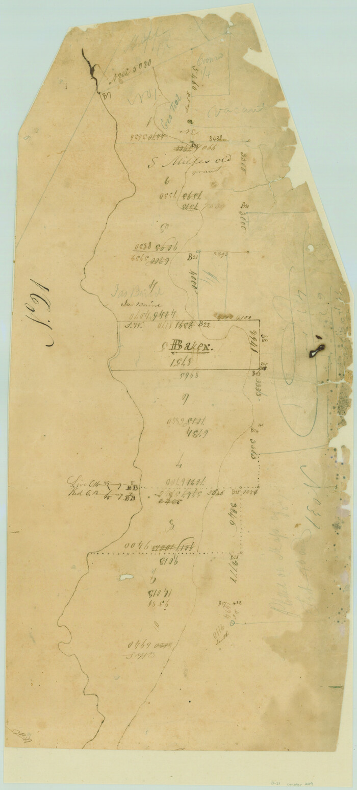
[Surveys in Austin's Colony along the San Bernardo River from the mouth of Peach Creek]

Print $20.00
- Digital $50.00
[Surveys in Austin's Colony along the San Bernardo River from the mouth of Peach Creek]
1821
Size: 23.4 x 10.6 inches
209
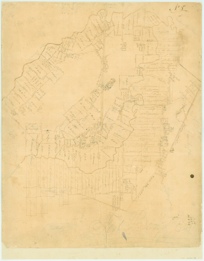
[Surveys in Austin's Colony along the Brazos and Bernard Rivers]

Print $20.00
- Digital $50.00
[Surveys in Austin's Colony along the Brazos and Bernard Rivers]
1835
Size: 23.8 x 18.6 inches
43
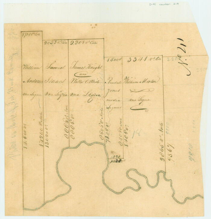
[Surveys in Austin's Colony along the Brazos River]

Print $2.00
- Digital $50.00
[Surveys in Austin's Colony along the Brazos River]
Size: 9.0 x 8.7 inches
214
[Surveys in Austin's Colony along the Brazos River]
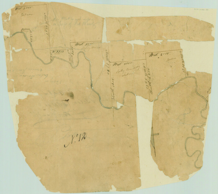

Print $20.00
- Digital $50.00
[Surveys in Austin's Colony along the Brazos River]
1824
Size: 12.9 x 14.5 inches
213
[Sketch for Mineral Application 19560 - 19588 - San Bernard River]
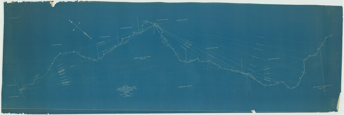

Print $40.00
- Digital $50.00
[Sketch for Mineral Application 19560 - 19588 - San Bernard River]
1928
Size: 33.0 x 98.6 inches
65579
[Sketch for Mineral Application 19560 - 19588 - San Bernard River]

Print $40.00
- Digital $50.00
[Sketch for Mineral Application 19560 - 19588 - San Bernard River]
1928
Size: 98.2 x 33.1 inches
65580
[Sketch for Mineral Application 19560 - 19588 - San Bernard River]
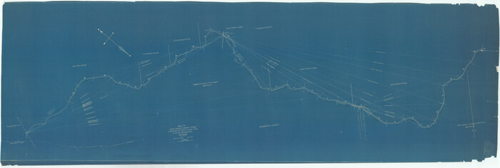

Print $40.00
- Digital $50.00
[Sketch for Mineral Application 19560 - 19588 - San Bernard River]
Size: 32.7 x 97.6 inches
65659
[Sketch for Mineral Application 19560 - 19588 - San Bernard River]

Print $40.00
- Digital $50.00
[Sketch for Mineral Application 19560 - 19588 - San Bernard River]
Size: 98.0 x 33.0 inches
65660
[Sketch for Mineral Application 19560 - 19588 - San Bernard River]


Print $40.00
- Digital $50.00
[Sketch for Mineral Application 19560 - 19588 - San Bernard River]
Size: 32.3 x 98.5 inches
65661
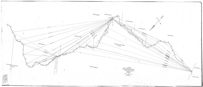
[Sketch for Mineral Application 19560 - 19588 - San Bernard River]

Print $40.00
- Digital $50.00
[Sketch for Mineral Application 19560 - 19588 - San Bernard River]
Size: 31.6 x 73.6 inches
65662
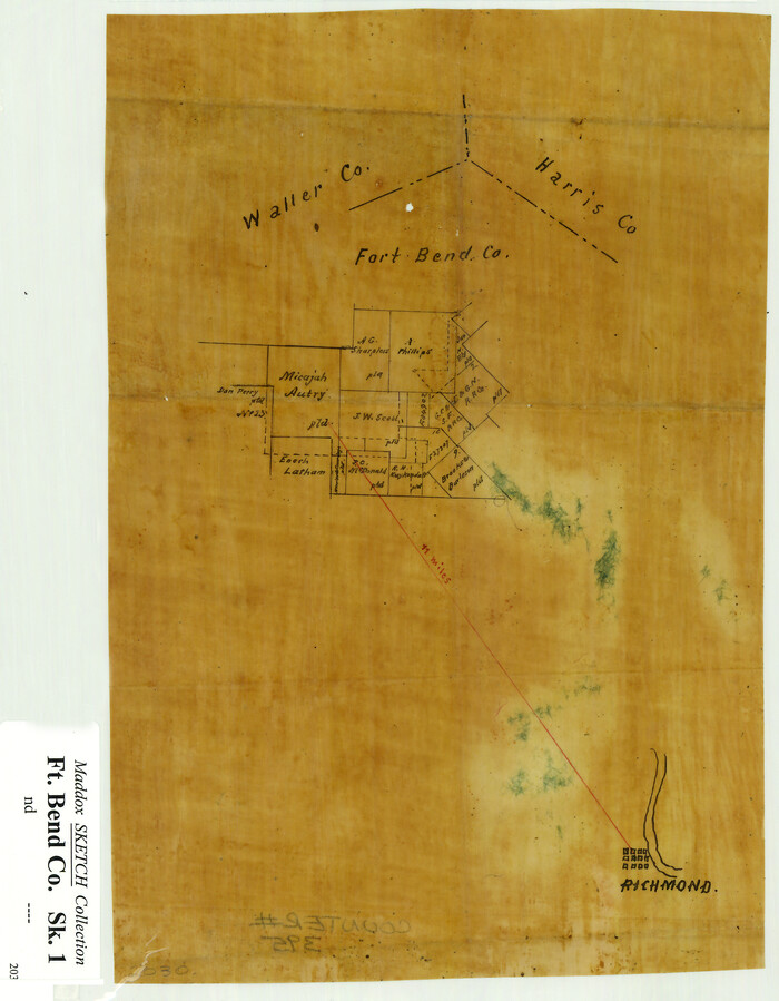
[Sketch Showing Surveys Adjacent to Richmond, Fort Bend County, Texas]

Print $2.00
- Digital $50.00
[Sketch Showing Surveys Adjacent to Richmond, Fort Bend County, Texas]
Size: 9.9 x 7.7 inches
395
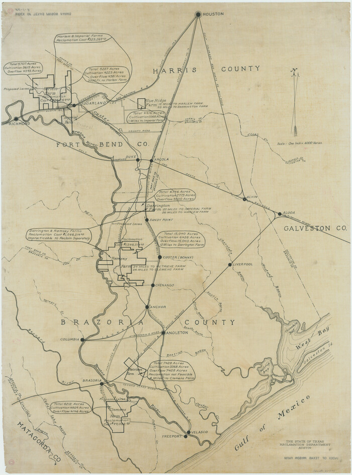
[Index of Texas Prison Farms]

Print $20.00
- Digital $50.00
[Index of Texas Prison Farms]
Size: 31.1 x 23.1 inches
62977
[Gulf, Colorado & Santa Fe]


Print $40.00
- Digital $50.00
[Gulf, Colorado & Santa Fe]
1918
Size: 33.2 x 110.5 inches
64592
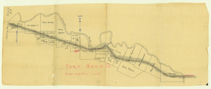
[Gulf, Colorado & Santa Fe Railway line through Fort Bend Co.]

Print $20.00
- Digital $50.00
[Gulf, Colorado & Santa Fe Railway line through Fort Bend Co.]
1898
Size: 14.2 x 33.5 inches
64212
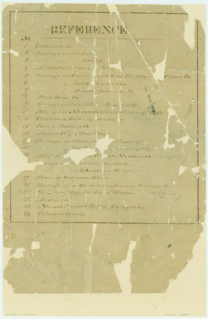
[Atlas C, Table of Contents]

Print $3.00
- Digital $50.00
[Atlas C, Table of Contents]
Size: 14.7 x 9.6 inches
78353
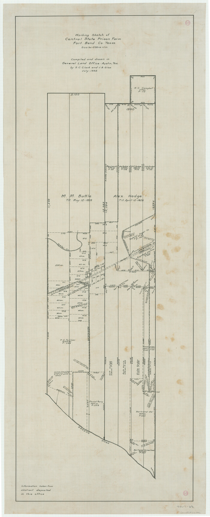
Working Sketch of Central State Prison Farm, Fort Bend Co., Texas

Print $20.00
- Digital $50.00
Working Sketch of Central State Prison Farm, Fort Bend Co., Texas
Size: 38.9 x 16.0 inches
62996
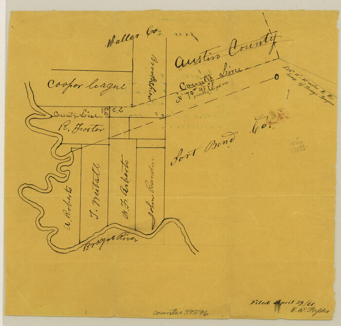
Waller County Sketch File 2a

Print $4.00
- Digital $50.00
Waller County Sketch File 2a
Size: 8.0 x 8.4 inches
39596
Waller County Sketch File 2


Print $52.00
- Digital $50.00
Waller County Sketch File 2
Size: 13.3 x 9.0 inches
39570
The Republic County of Fort Bend. January 28, 1841


Print $20.00
The Republic County of Fort Bend. January 28, 1841
2020
Size: 14.7 x 21.6 inches
96140
The Republic County of Fort Bend. January 10, 1839
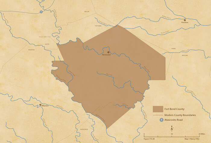

Print $20.00
The Republic County of Fort Bend. January 10, 1839
2020
Size: 14.7 x 21.6 inches
96138
The Republic County of Fort Bend. February 5, 1840
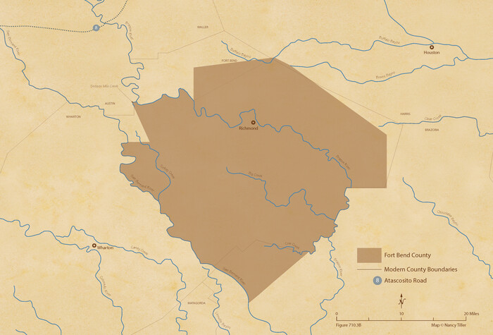

Print $20.00
The Republic County of Fort Bend. February 5, 1840
2020
Size: 14.7 x 21.6 inches
96139
The Republic County of Fort Bend. February 4, 1841
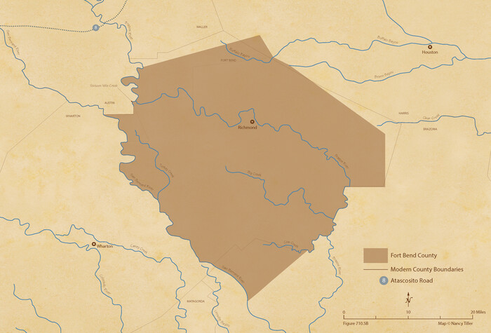

Print $20.00
The Republic County of Fort Bend. February 4, 1841
2020
Size: 14.7 x 21.6 inches
96141
The Republic County of Fort Bend. December 29, 1845


Print $20.00
The Republic County of Fort Bend. December 29, 1845
2020
Size: 14.7 x 21.6 inches
96142
The Republic County of Fort Bend. Created, December 29, 1837


Print $20.00
The Republic County of Fort Bend. Created, December 29, 1837
2020
Size: 14.7 x 21.6 inches
96137
Subdivision Plat of Blue Ridge State Farm Showing 18 Tracts
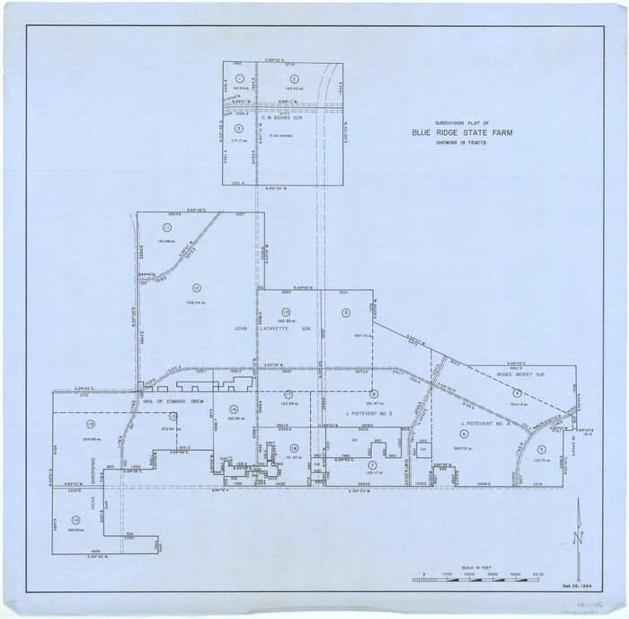

Print $20.00
- Digital $50.00
Subdivision Plat of Blue Ridge State Farm Showing 18 Tracts
Size: 27.0 x 27.4 inches
62978
Sketch showing Damon's Mound and adjacent surveys


Print $20.00
- Digital $50.00
Sketch showing Damon's Mound and adjacent surveys
Size: 19.4 x 17.7 inches
90218
Sketch Showing Property Lines of Harlem State Farm


Print $20.00
- Digital $50.00
Sketch Showing Property Lines of Harlem State Farm
Size: 16.0 x 30.2 inches
62982
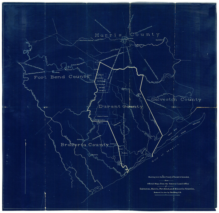
Showing how the New County of Durant is bounded, from Official Maps from the General Land Office of Galveston, Harris, Fort Bend, and Brazoria Counties

Print $20.00
- Digital $50.00
Showing how the New County of Durant is bounded, from Official Maps from the General Land Office of Galveston, Harris, Fort Bend, and Brazoria Counties
1880
Size: 18.6 x 19.0 inches
4473
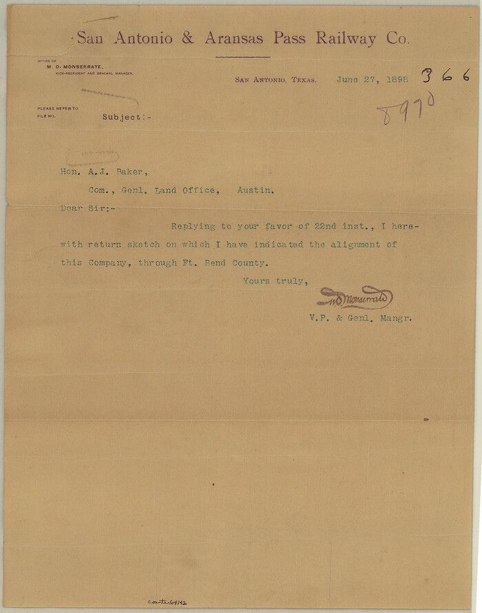
San Antonio & Aransas Pass RR Co., Fort Bend County, Texas

Print $2.00
- Digital $50.00
San Antonio & Aransas Pass RR Co., Fort Bend County, Texas
1898
Size: 11.1 x 8.7 inches
64142
[Surveys in Austin's Colony along the San Bernardo River, West Bernardo River, and Lone Tree Creek]
![194, [Surveys in Austin's Colony along the San Bernardo River, West Bernardo River, and Lone Tree Creek], General Map Collection](https://historictexasmaps.com/wmedia_w700/maps/194-1.tif.jpg)
![194, [Surveys in Austin's Colony along the San Bernardo River, West Bernardo River, and Lone Tree Creek], General Map Collection](https://historictexasmaps.com/wmedia_w700/maps/194-1.tif.jpg)
Print $20.00
- Digital $50.00
[Surveys in Austin's Colony along the San Bernardo River, West Bernardo River, and Lone Tree Creek]
1830
-
Size
28.3 x 17.8 inches
-
Map/Doc
194
-
Creation Date
1830
[Surveys in Austin's Colony along the San Bernardo River from the mouth of Peach Creek]
![209, [Surveys in Austin's Colony along the San Bernardo River from the mouth of Peach Creek], General Map Collection](https://historictexasmaps.com/wmedia_w700/maps/209.tif.jpg)
![209, [Surveys in Austin's Colony along the San Bernardo River from the mouth of Peach Creek], General Map Collection](https://historictexasmaps.com/wmedia_w700/maps/209.tif.jpg)
Print $20.00
- Digital $50.00
[Surveys in Austin's Colony along the San Bernardo River from the mouth of Peach Creek]
1821
-
Size
23.4 x 10.6 inches
-
Map/Doc
209
-
Creation Date
1821
[Surveys in Austin's Colony along the Brazos and Bernard Rivers]
![43, [Surveys in Austin's Colony along the Brazos and Bernard Rivers], General Map Collection](https://historictexasmaps.com/wmedia_w700/maps/43.tif.jpg)
![43, [Surveys in Austin's Colony along the Brazos and Bernard Rivers], General Map Collection](https://historictexasmaps.com/wmedia_w700/maps/43.tif.jpg)
Print $20.00
- Digital $50.00
[Surveys in Austin's Colony along the Brazos and Bernard Rivers]
1835
-
Size
23.8 x 18.6 inches
-
Map/Doc
43
-
Creation Date
1835
[Surveys in Austin's Colony along the Brazos River]
![214, [Surveys in Austin's Colony along the Brazos River], General Map Collection](https://historictexasmaps.com/wmedia_w700/maps/214.tif.jpg)
![214, [Surveys in Austin's Colony along the Brazos River], General Map Collection](https://historictexasmaps.com/wmedia_w700/maps/214.tif.jpg)
Print $2.00
- Digital $50.00
[Surveys in Austin's Colony along the Brazos River]
-
Size
9.0 x 8.7 inches
-
Map/Doc
214
[Surveys in Austin's Colony along the Brazos River]
![213, [Surveys in Austin's Colony along the Brazos River], General Map Collection](https://historictexasmaps.com/wmedia_w700/maps/213.tif.jpg)
![213, [Surveys in Austin's Colony along the Brazos River], General Map Collection](https://historictexasmaps.com/wmedia_w700/maps/213.tif.jpg)
Print $20.00
- Digital $50.00
[Surveys in Austin's Colony along the Brazos River]
1824
-
Size
12.9 x 14.5 inches
-
Map/Doc
213
-
Creation Date
1824
[Sketch for Mineral Application 19560 - 19588 - San Bernard River]
![65579, [Sketch for Mineral Application 19560 - 19588 - San Bernard River], General Map Collection](https://historictexasmaps.com/wmedia_w700/maps/65579.tif.jpg)
![65579, [Sketch for Mineral Application 19560 - 19588 - San Bernard River], General Map Collection](https://historictexasmaps.com/wmedia_w700/maps/65579.tif.jpg)
Print $40.00
- Digital $50.00
[Sketch for Mineral Application 19560 - 19588 - San Bernard River]
1928
-
Size
33.0 x 98.6 inches
-
Map/Doc
65579
-
Creation Date
1928
[Sketch for Mineral Application 19560 - 19588 - San Bernard River]
![65580, [Sketch for Mineral Application 19560 - 19588 - San Bernard River], General Map Collection](https://historictexasmaps.com/wmedia_w700/maps/65580.tif.jpg)
![65580, [Sketch for Mineral Application 19560 - 19588 - San Bernard River], General Map Collection](https://historictexasmaps.com/wmedia_w700/maps/65580.tif.jpg)
Print $40.00
- Digital $50.00
[Sketch for Mineral Application 19560 - 19588 - San Bernard River]
1928
-
Size
98.2 x 33.1 inches
-
Map/Doc
65580
-
Creation Date
1928
[Sketch for Mineral Application 19560 - 19588 - San Bernard River]
![65659, [Sketch for Mineral Application 19560 - 19588 - San Bernard River], General Map Collection](https://historictexasmaps.com/wmedia_w700/maps/65659.tif.jpg)
![65659, [Sketch for Mineral Application 19560 - 19588 - San Bernard River], General Map Collection](https://historictexasmaps.com/wmedia_w700/maps/65659.tif.jpg)
Print $40.00
- Digital $50.00
[Sketch for Mineral Application 19560 - 19588 - San Bernard River]
-
Size
32.7 x 97.6 inches
-
Map/Doc
65659
[Sketch for Mineral Application 19560 - 19588 - San Bernard River]
![65660, [Sketch for Mineral Application 19560 - 19588 - San Bernard River], General Map Collection](https://historictexasmaps.com/wmedia_w700/maps/65660.tif.jpg)
![65660, [Sketch for Mineral Application 19560 - 19588 - San Bernard River], General Map Collection](https://historictexasmaps.com/wmedia_w700/maps/65660.tif.jpg)
Print $40.00
- Digital $50.00
[Sketch for Mineral Application 19560 - 19588 - San Bernard River]
-
Size
98.0 x 33.0 inches
-
Map/Doc
65660
[Sketch for Mineral Application 19560 - 19588 - San Bernard River]
![65661, [Sketch for Mineral Application 19560 - 19588 - San Bernard River], General Map Collection](https://historictexasmaps.com/wmedia_w700/maps/65661.tif.jpg)
![65661, [Sketch for Mineral Application 19560 - 19588 - San Bernard River], General Map Collection](https://historictexasmaps.com/wmedia_w700/maps/65661.tif.jpg)
Print $40.00
- Digital $50.00
[Sketch for Mineral Application 19560 - 19588 - San Bernard River]
-
Size
32.3 x 98.5 inches
-
Map/Doc
65661
[Sketch for Mineral Application 19560 - 19588 - San Bernard River]
![65662, [Sketch for Mineral Application 19560 - 19588 - San Bernard River], General Map Collection](https://historictexasmaps.com/wmedia_w700/maps/65662.tif.jpg)
![65662, [Sketch for Mineral Application 19560 - 19588 - San Bernard River], General Map Collection](https://historictexasmaps.com/wmedia_w700/maps/65662.tif.jpg)
Print $40.00
- Digital $50.00
[Sketch for Mineral Application 19560 - 19588 - San Bernard River]
-
Size
31.6 x 73.6 inches
-
Map/Doc
65662
[Sketch Showing Surveys Adjacent to Richmond, Fort Bend County, Texas]
![395, [Sketch Showing Surveys Adjacent to Richmond, Fort Bend County, Texas], Maddox Collection](https://historictexasmaps.com/wmedia_w700/maps/0395.tif.jpg)
![395, [Sketch Showing Surveys Adjacent to Richmond, Fort Bend County, Texas], Maddox Collection](https://historictexasmaps.com/wmedia_w700/maps/0395.tif.jpg)
Print $2.00
- Digital $50.00
[Sketch Showing Surveys Adjacent to Richmond, Fort Bend County, Texas]
-
Size
9.9 x 7.7 inches
-
Map/Doc
395
[Index of Texas Prison Farms]
![62977, [Index of Texas Prison Farms], General Map Collection](https://historictexasmaps.com/wmedia_w700/maps/62977.tif.jpg)
![62977, [Index of Texas Prison Farms], General Map Collection](https://historictexasmaps.com/wmedia_w700/maps/62977.tif.jpg)
Print $20.00
- Digital $50.00
[Index of Texas Prison Farms]
-
Size
31.1 x 23.1 inches
-
Map/Doc
62977
[Gulf, Colorado & Santa Fe]
![64592, [Gulf, Colorado & Santa Fe], General Map Collection](https://historictexasmaps.com/wmedia_w700/maps/64592.tif.jpg)
![64592, [Gulf, Colorado & Santa Fe], General Map Collection](https://historictexasmaps.com/wmedia_w700/maps/64592.tif.jpg)
Print $40.00
- Digital $50.00
[Gulf, Colorado & Santa Fe]
1918
-
Size
33.2 x 110.5 inches
-
Map/Doc
64592
-
Creation Date
1918
[Gulf, Colorado & Santa Fe Railway line through Fort Bend Co.]
![64212, [Gulf, Colorado & Santa Fe Railway line through Fort Bend Co.], General Map Collection](https://historictexasmaps.com/wmedia_w700/maps/64212.tif.jpg)
![64212, [Gulf, Colorado & Santa Fe Railway line through Fort Bend Co.], General Map Collection](https://historictexasmaps.com/wmedia_w700/maps/64212.tif.jpg)
Print $20.00
- Digital $50.00
[Gulf, Colorado & Santa Fe Railway line through Fort Bend Co.]
1898
-
Size
14.2 x 33.5 inches
-
Map/Doc
64212
-
Creation Date
1898
[Atlas C, Table of Contents]
![78353, [Atlas C, Table of Contents], General Map Collection](https://historictexasmaps.com/wmedia_w700/maps/78353.tif.jpg)
![78353, [Atlas C, Table of Contents], General Map Collection](https://historictexasmaps.com/wmedia_w700/maps/78353.tif.jpg)
Print $3.00
- Digital $50.00
[Atlas C, Table of Contents]
-
Size
14.7 x 9.6 inches
-
Map/Doc
78353
Working Sketch of Central State Prison Farm, Fort Bend Co., Texas


Print $20.00
- Digital $50.00
Working Sketch of Central State Prison Farm, Fort Bend Co., Texas
-
Size
38.9 x 16.0 inches
-
Map/Doc
62996
Waller County Sketch File 2a


Print $4.00
- Digital $50.00
Waller County Sketch File 2a
-
Size
8.0 x 8.4 inches
-
Map/Doc
39596
Waller County Sketch File 2


Print $52.00
- Digital $50.00
Waller County Sketch File 2
-
Size
13.3 x 9.0 inches
-
Map/Doc
39570
The Republic County of Fort Bend. January 28, 1841


Print $20.00
The Republic County of Fort Bend. January 28, 1841
2020
-
Size
14.7 x 21.6 inches
-
Map/Doc
96140
-
Creation Date
2020
The Republic County of Fort Bend. January 10, 1839


Print $20.00
The Republic County of Fort Bend. January 10, 1839
2020
-
Size
14.7 x 21.6 inches
-
Map/Doc
96138
-
Creation Date
2020
The Republic County of Fort Bend. February 5, 1840


Print $20.00
The Republic County of Fort Bend. February 5, 1840
2020
-
Size
14.7 x 21.6 inches
-
Map/Doc
96139
-
Creation Date
2020
The Republic County of Fort Bend. February 4, 1841


Print $20.00
The Republic County of Fort Bend. February 4, 1841
2020
-
Size
14.7 x 21.6 inches
-
Map/Doc
96141
-
Creation Date
2020
The Republic County of Fort Bend. December 29, 1845


Print $20.00
The Republic County of Fort Bend. December 29, 1845
2020
-
Size
14.7 x 21.6 inches
-
Map/Doc
96142
-
Creation Date
2020
The Republic County of Fort Bend. Created, December 29, 1837


Print $20.00
The Republic County of Fort Bend. Created, December 29, 1837
2020
-
Size
14.7 x 21.6 inches
-
Map/Doc
96137
-
Creation Date
2020
Subdivision Plat of Blue Ridge State Farm Showing 18 Tracts


Print $20.00
- Digital $50.00
Subdivision Plat of Blue Ridge State Farm Showing 18 Tracts
-
Size
27.0 x 27.4 inches
-
Map/Doc
62978
Sketch showing Damon's Mound and adjacent surveys


Print $20.00
- Digital $50.00
Sketch showing Damon's Mound and adjacent surveys
-
Size
19.4 x 17.7 inches
-
Map/Doc
90218
Sketch Showing Property Lines of Harlem State Farm


Print $20.00
- Digital $50.00
Sketch Showing Property Lines of Harlem State Farm
-
Size
16.0 x 30.2 inches
-
Map/Doc
62982
Showing how the New County of Durant is bounded, from Official Maps from the General Land Office of Galveston, Harris, Fort Bend, and Brazoria Counties


Print $20.00
- Digital $50.00
Showing how the New County of Durant is bounded, from Official Maps from the General Land Office of Galveston, Harris, Fort Bend, and Brazoria Counties
1880
-
Size
18.6 x 19.0 inches
-
Map/Doc
4473
-
Creation Date
1880
San Antonio & Aransas Pass RR Co., Fort Bend County, Texas


Print $2.00
- Digital $50.00
San Antonio & Aransas Pass RR Co., Fort Bend County, Texas
1898
-
Size
11.1 x 8.7 inches
-
Map/Doc
64142
-
Creation Date
1898