[Surveys in Austin's Colony along the Brazos River]
Atlas D, Sketch 12 (D-12)
D-12
-
Map/Doc
213
-
Collection
General Map Collection
-
Object Dates
1824 (Creation Date)
-
People and Organizations
H. Chriesman (Surveyor/Engineer)
-
Counties
Fort Bend
-
Subjects
Atlas
-
Height x Width
12.9 x 14.5 inches
32.8 x 36.8 cm
-
Medium
paper, manuscript
-
Comments
Conserved in 2004.
-
Features
[Brazos River]
Part of: General Map Collection
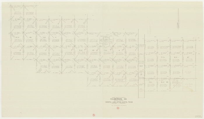
Culberson County Working Sketch 40

Print $40.00
- Digital $50.00
Culberson County Working Sketch 40
1966
Size 35.5 x 60.9 inches
Map/Doc 68493
Kendall County Boundary File 54


Print $16.00
- Digital $50.00
Kendall County Boundary File 54
Size 8.6 x 3.5 inches
Map/Doc 55769
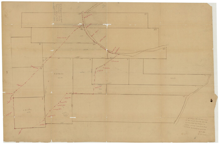
Val Verde County Sketch File 24

Print $20.00
- Digital $50.00
Val Verde County Sketch File 24
Size 22.5 x 34.3 inches
Map/Doc 76759
Duval County Sketch File 17


Print $20.00
- Digital $50.00
Duval County Sketch File 17
1876
Size 19.0 x 17.8 inches
Map/Doc 11383
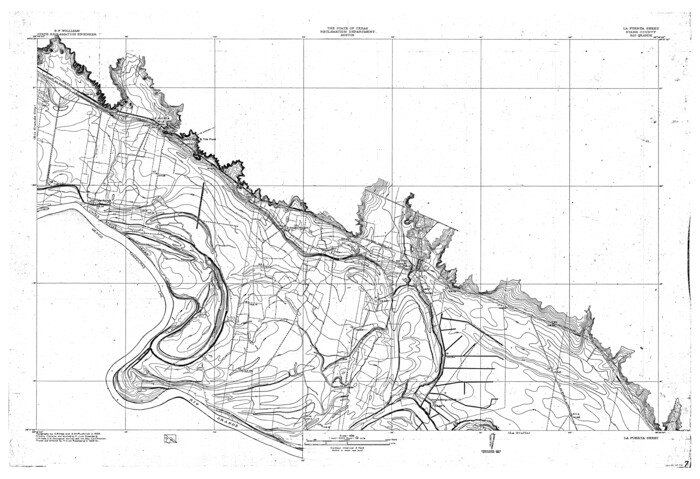
Rio Grande, La Puerta Sheet

Print $20.00
- Digital $50.00
Rio Grande, La Puerta Sheet
1931
Size 29.7 x 43.4 inches
Map/Doc 65106
Brazoria County Sketch File 10a
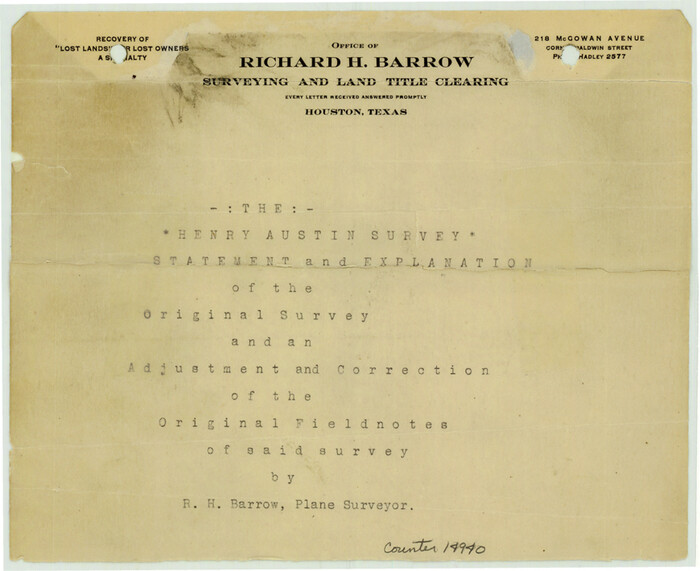

Print $50.00
- Digital $50.00
Brazoria County Sketch File 10a
1912
Size 7.1 x 8.7 inches
Map/Doc 14940
Clay County Rolled Sketch 5


Print $20.00
- Digital $50.00
Clay County Rolled Sketch 5
Size 21.0 x 23.6 inches
Map/Doc 5499
Clay County Sketch File 31
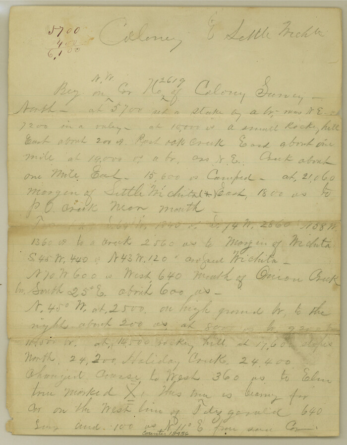

Print $4.00
- Digital $50.00
Clay County Sketch File 31
Size 10.2 x 8.0 inches
Map/Doc 18456
Flight Mission No. CRC-2R, Frame 4, Chambers County
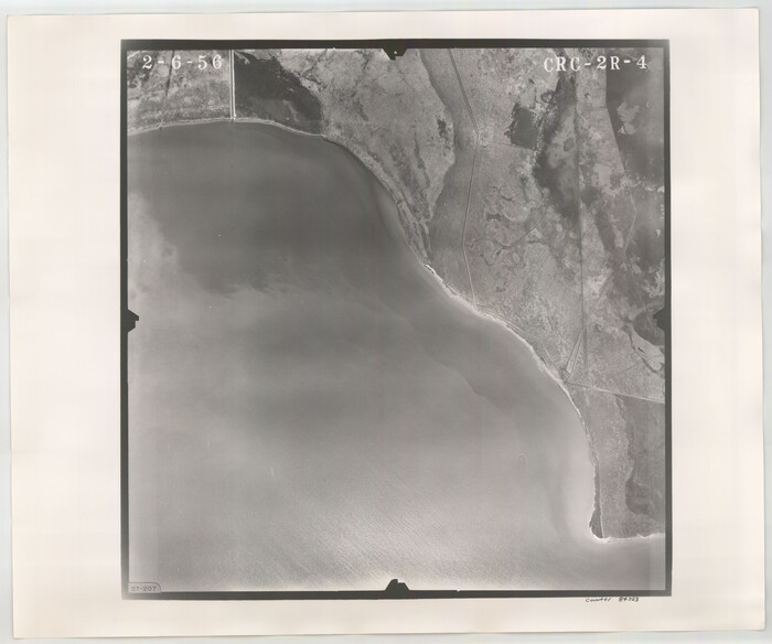

Print $20.00
- Digital $50.00
Flight Mission No. CRC-2R, Frame 4, Chambers County
1956
Size 18.7 x 22.4 inches
Map/Doc 84723
San Augustine and Sabine Counties
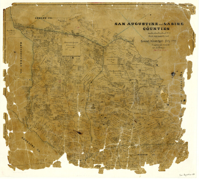

Print $20.00
- Digital $50.00
San Augustine and Sabine Counties
1881
Size 23.7 x 26.3 inches
Map/Doc 4012
Map of the County of Cameron
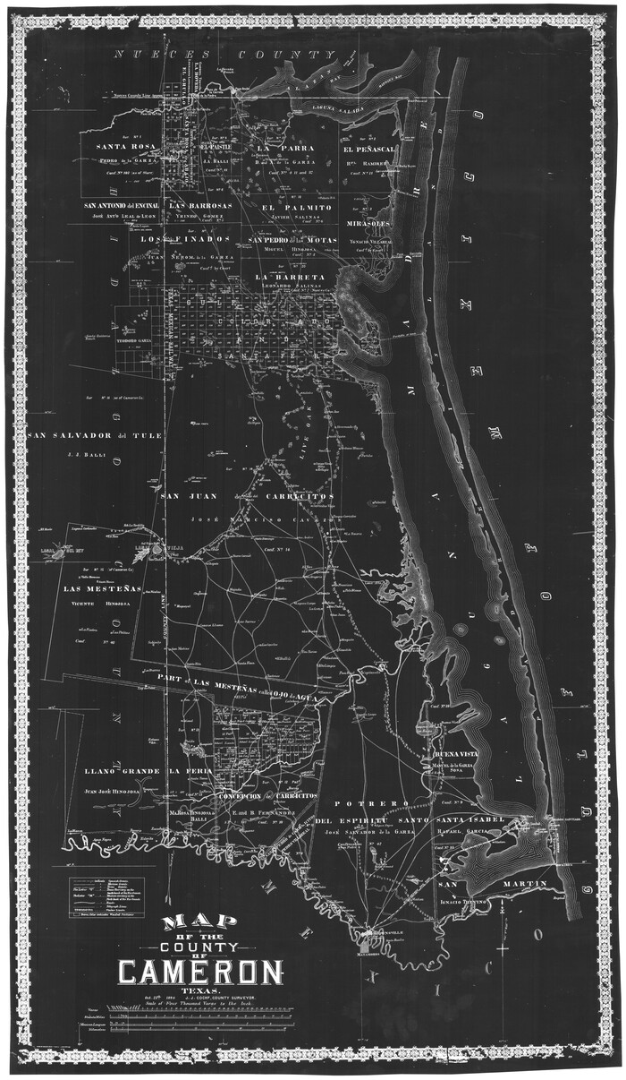

Print $40.00
- Digital $50.00
Map of the County of Cameron
1884
Size 57.0 x 33.2 inches
Map/Doc 78646
You may also like
Potter County Boundary File 3c
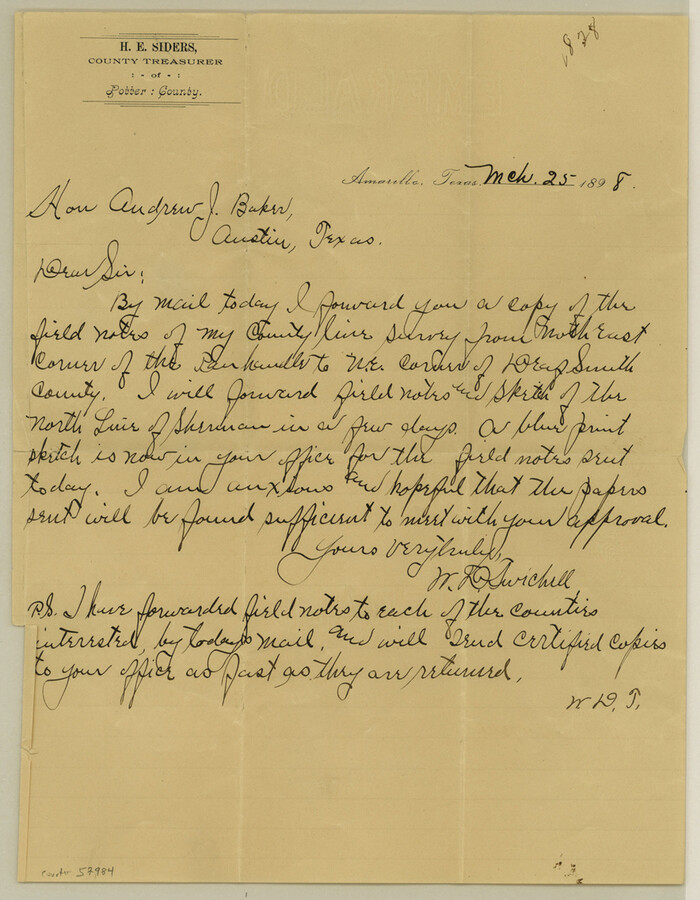

Print $6.00
- Digital $50.00
Potter County Boundary File 3c
Size 11.4 x 8.8 inches
Map/Doc 57984
Chambers County Rolled Sketch 24


Print $40.00
- Digital $50.00
Chambers County Rolled Sketch 24
1940
Size 38.2 x 49.9 inches
Map/Doc 8594
Section 54 Block Y
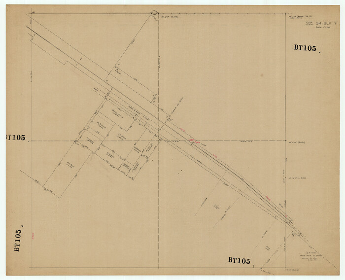

Print $20.00
- Digital $50.00
Section 54 Block Y
Size 23.9 x 19.4 inches
Map/Doc 92462
Travis County Rolled Sketch 24
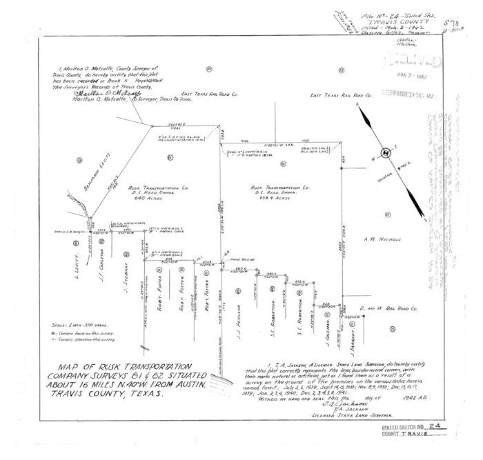

Print $20.00
- Digital $50.00
Travis County Rolled Sketch 24
1942
Size 15.3 x 16.1 inches
Map/Doc 8025
Gulf Coast of the United States, Key West to Rio Grande
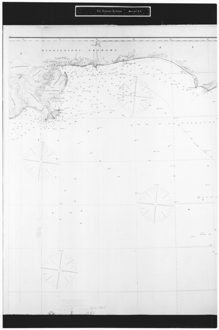

Print $20.00
- Digital $50.00
Gulf Coast of the United States, Key West to Rio Grande
1863
Size 27.5 x 18.3 inches
Map/Doc 72664
G. C. & S. F. Ry., San Saba Branch, Right of Way Map, Brady to Melvin


Print $40.00
- Digital $50.00
G. C. & S. F. Ry., San Saba Branch, Right of Way Map, Brady to Melvin
1916
Size 38.2 x 122.0 inches
Map/Doc 61420
[Sketch showing area around Runnels County School Land, Yates survey 34 1/2 and Runnels County School Land]
![91683, [Sketch showing area around Runnels County School Land, Yates survey 34 1/2 and Runnels County School Land], Twichell Survey Records](https://historictexasmaps.com/wmedia_w700/maps/91683-1.tif.jpg)
![91683, [Sketch showing area around Runnels County School Land, Yates survey 34 1/2 and Runnels County School Land], Twichell Survey Records](https://historictexasmaps.com/wmedia_w700/maps/91683-1.tif.jpg)
Print $20.00
- Digital $50.00
[Sketch showing area around Runnels County School Land, Yates survey 34 1/2 and Runnels County School Land]
Size 17.5 x 12.5 inches
Map/Doc 91683
Polk County Sketch File 7


Print $6.00
- Digital $50.00
Polk County Sketch File 7
1860
Size 12.1 x 7.9 inches
Map/Doc 34131
San Patricio County Sketch File 29
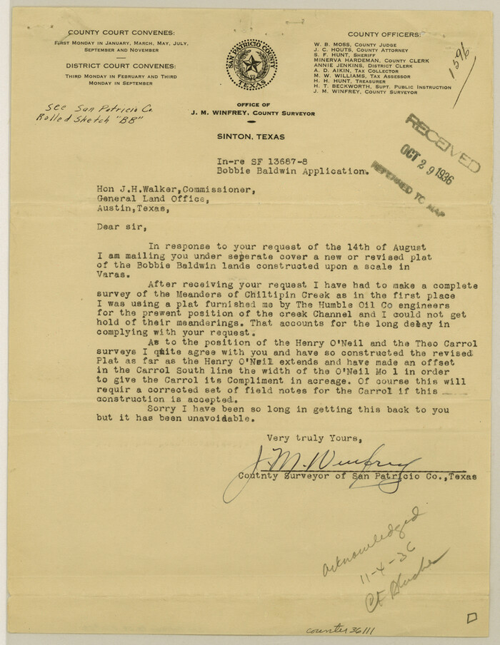

Print $10.00
San Patricio County Sketch File 29
1936
Size 11.3 x 8.8 inches
Map/Doc 36111
Trace of a copy of the map captured at the battle of Resaca de la Palma
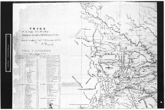

Print $20.00
- Digital $50.00
Trace of a copy of the map captured at the battle of Resaca de la Palma
Size 18.4 x 27.4 inches
Map/Doc 73055
Martha's Vineyard to Block Island Including Western Approach to Cape Cod Canal


Print $20.00
- Digital $50.00
Martha's Vineyard to Block Island Including Western Approach to Cape Cod Canal
1963
Size 37.5 x 45.7 inches
Map/Doc 73554
Crane County Boundary File 1
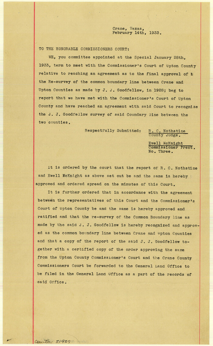

Print $6.00
- Digital $50.00
Crane County Boundary File 1
Size 14.1 x 8.7 inches
Map/Doc 51957
![213, [Surveys in Austin's Colony along the Brazos River], General Map Collection](https://historictexasmaps.com/wmedia_w1800h1800/maps/213.tif.jpg)
