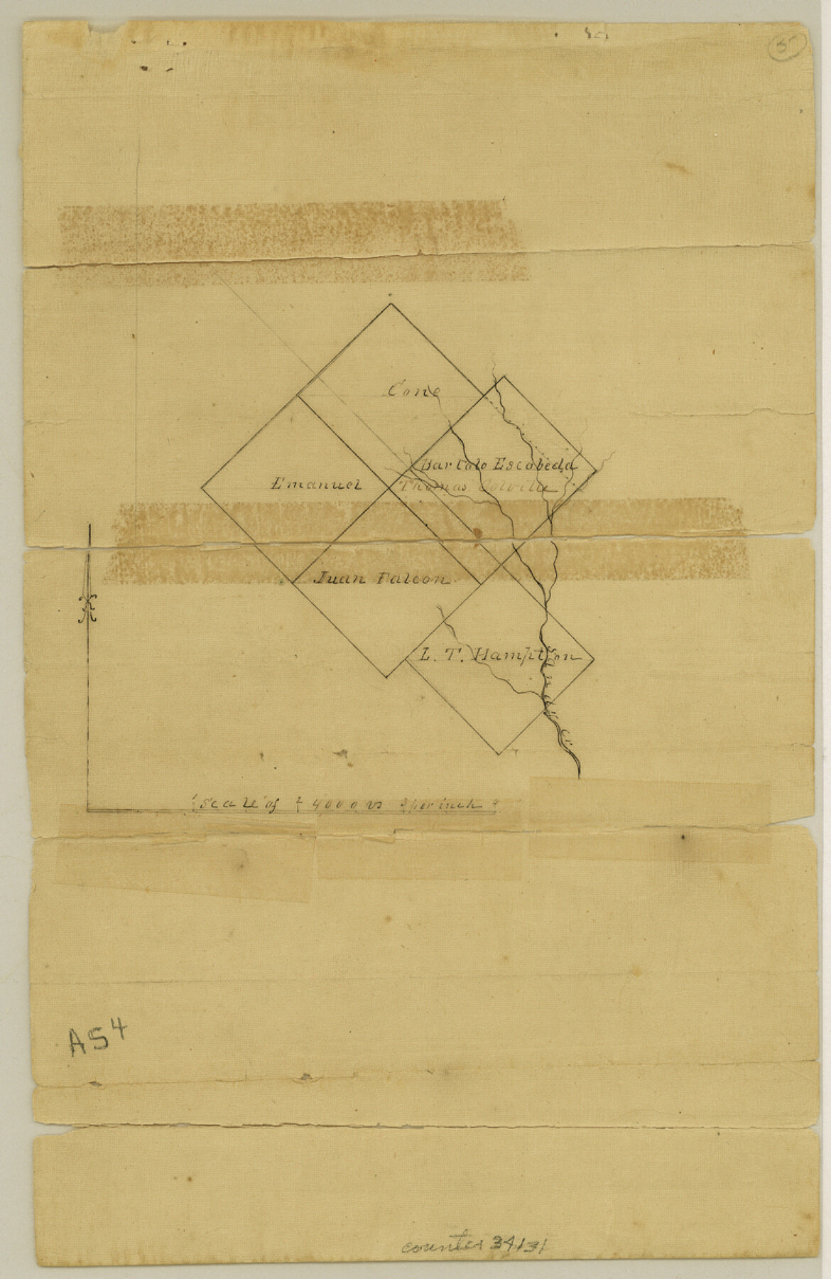
Polk County Sketch File 7
[Sketch east of Livingston on Big Sandy Creek]
-
Map/Doc
34131
-
Collection
General Map Collection
-
Object Dates
2/1/1860 (Creation Date)
3/12/1860 (File Date)
-
People and Organizations
William H. Gee (Surveyor/Engineer)
-
Counties
Polk
-
Subjects
Surveying Sketch File
-
Height x Width
12.1 x 7.9 inches
30.7 x 20.1 cm
-
Medium
paper, manuscript
-
Scale
1" = 4000 varas
-
Features
Big Sandy Creek
Part of: General Map Collection
[Plat of Colorado River Survey, McCulloch County]
![2462, [Plat of Colorado River Survey, McCulloch County], General Map Collection](https://historictexasmaps.com/wmedia_w700/maps/2462-1.tif.jpg)
Print $40.00
- Digital $50.00
[Plat of Colorado River Survey, McCulloch County]
1918
Size 40.3 x 159.2 inches
Map/Doc 2462
Texas Aranzas-Bay [sic]
![145, Texas Aranzas-Bay [sic], General Map Collection](https://historictexasmaps.com/wmedia_w700/maps/145.tif.jpg)
Print $20.00
- Digital $50.00
Texas Aranzas-Bay [sic]
1832
Size 21.4 x 15.5 inches
Map/Doc 145
Lipscomb County Rolled Sketch 3

Print $20.00
- Digital $50.00
Lipscomb County Rolled Sketch 3
1886
Size 24.2 x 31.0 inches
Map/Doc 6629
Lampasas County Rolled Sketch 4

Print $20.00
- Digital $50.00
Lampasas County Rolled Sketch 4
2001
Size 27.1 x 38.5 inches
Map/Doc 6566
Presidio County Sketch File 35B

Print $20.00
- Digital $50.00
Presidio County Sketch File 35B
1906
Size 11.8 x 20.7 inches
Map/Doc 11714
Outer Continental Shelf Leasing Maps (Louisiana Offshore Operations)

Print $20.00
- Digital $50.00
Outer Continental Shelf Leasing Maps (Louisiana Offshore Operations)
1955
Size 10.3 x 11.6 inches
Map/Doc 76088
Red River County Working Sketch 20

Print $20.00
- Digital $50.00
Red River County Working Sketch 20
1955
Size 26.2 x 25.9 inches
Map/Doc 72003
Armstrong County Sketch File B

Print $26.00
- Digital $50.00
Armstrong County Sketch File B
1903
Size 14.2 x 8.5 inches
Map/Doc 13669
Bee County Sketch File 16

Print $4.00
- Digital $50.00
Bee County Sketch File 16
1878
Size 8.6 x 7.7 inches
Map/Doc 14299
Wood County Working Sketch Graphic Index

Print $20.00
- Digital $50.00
Wood County Working Sketch Graphic Index
1942
Size 40.6 x 36.4 inches
Map/Doc 76746
Parmer County Working Sketch Graphic Index

Print $20.00
- Digital $50.00
Parmer County Working Sketch Graphic Index
1926
Map/Doc 76662
United States Bathymetric and Fishing Maps including Topographic/Bathymetric Maps

Print $40.00
- Digital $50.00
United States Bathymetric and Fishing Maps including Topographic/Bathymetric Maps
1989
Size 21.8 x 54.8 inches
Map/Doc 73556
You may also like
Grayson County Working Sketch 2

Print $20.00
- Digital $50.00
Grayson County Working Sketch 2
1939
Size 27.8 x 40.9 inches
Map/Doc 63241
Tyler County Sketch File 21

Print $4.00
- Digital $50.00
Tyler County Sketch File 21
1906
Size 10.9 x 9.1 inches
Map/Doc 38677
Lamb County Sketch File C1

Print $20.00
- Digital $50.00
Lamb County Sketch File C1
1904
Size 26.5 x 21.7 inches
Map/Doc 11974
Kimble County Sketch File B

Print $22.00
- Digital $50.00
Kimble County Sketch File B
Size 14.3 x 12.7 inches
Map/Doc 28963
Crockett County Sketch File 22

Print $12.00
- Digital $50.00
Crockett County Sketch File 22
1881
Size 13.1 x 8.1 inches
Map/Doc 19691
Cameron County Rolled Sketch 20D

Print $20.00
- Digital $50.00
Cameron County Rolled Sketch 20D
Size 13.7 x 12.1 inches
Map/Doc 5476

Childress County Sketch File 12

Print $22.00
- Digital $50.00
Childress County Sketch File 12
Size 13.3 x 8.7 inches
Map/Doc 18255
Hudspeth County Rolled Sketch 37

Print $20.00
- Digital $50.00
Hudspeth County Rolled Sketch 37
1938
Size 23.3 x 29.8 inches
Map/Doc 6250
Brewster County Rolled Sketch 158

Print $20.00
- Digital $50.00
Brewster County Rolled Sketch 158
2007
Size 24.6 x 36.5 inches
Map/Doc 89623
Llano County Sketch File 2

Print $6.00
- Digital $50.00
Llano County Sketch File 2
Size 9.6 x 8.6 inches
Map/Doc 30347
Montgomery County Sketch File 2a

Print $4.00
- Digital $50.00
Montgomery County Sketch File 2a
1849
Size 8.0 x 12.3 inches
Map/Doc 31768