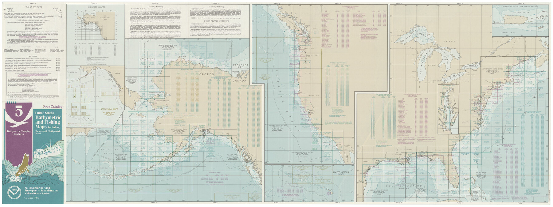
United States Bathymetric and Fishing Maps including Topographic/Bathymetric Maps
- 
                          Map/Doc73556
- 
                            CollectionGeneral Map Collection
- 
                            Object Dates10/1989 (Creation Date)
- 
                            SubjectsNautical Charts
- 
                            Height x Width21.8 x 54.8 inches55.4 x 139.2 cm
- 
                            Commentsdual-sided map
Part of: General Map Collection
            San Jacinto County Rolled Sketch 10A


                                            Print $40.00                    
                                             -                         Digital $50.00                                    
                San Jacinto County Rolled Sketch 10A
1944
Size 42.9 x 59.0 inches
                                Map/Doc 9882
            
            Brewster County Working Sketch 2


                                            Print $20.00                    
                                             -                         Digital $50.00                                    
                Brewster County Working Sketch 2
1907
Size 29.0 x 26.4 inches
                                Map/Doc 67535
            
            Brooks County Rolled Sketch 14


                                            Print $20.00                    
                                             -                         Digital $50.00                                    
                Brooks County Rolled Sketch 14
Size 28.4 x 32.8 inches
                                Map/Doc 5339
            
            Kaufman County Boundary File 5a


                                            Print $28.00                    
                                             -                         Digital $50.00                                    
                Kaufman County Boundary File 5a
Size 14.2 x 8.8 inches
                                Map/Doc 55951
            
            Brewster County Rolled Sketch 114


                                            Print $20.00                    
                                             -                         Digital $50.00                                    
                Brewster County Rolled Sketch 114
1964
Size 11.6 x 18.3 inches
                                Map/Doc 5272
            
            Fort Bend County Working Sketch 31


                                            Print $20.00                    
                                             -                         Digital $50.00                                    
                Fort Bend County Working Sketch 31
1984
Size 28.9 x 16.0 inches
                                Map/Doc 69237
            
            Polk County Sketch File 5


                                            Print $2.00                    
                                             -                         Digital $50.00                                    
                Polk County Sketch File 5
Size 8.0 x 7.0 inches
                                Map/Doc 34128
            
            Cameron County Rolled Sketch 25


                                            Print $20.00                    
                                             -                         Digital $50.00                                    
                Cameron County Rolled Sketch 25
1977
Size 24.9 x 36.7 inches
                                Map/Doc 5794
            
            A Map of the Indian Territory, Northern Texas and New Mexico showing the [G]reat Western Prairies
            
                                    ![97127, A Map of the Indian Territory, Northern Texas and New Mexico showing the [G]reat Western Prairies, General Map Collection](https://historictexasmaps.com/wmedia_w700/97127.tif.jpg) 


    ![97127, A Map of the Indian Territory, Northern Texas and New Mexico showing the [G]reat Western Prairies, General Map Collection](https://historictexasmaps.com/wmedia_w700/97127.tif.jpg) 
                                
            
                                            Print $20.00                    
                                             -                         Digital $50.00                                    
                A Map of the Indian Territory, Northern Texas and New Mexico showing the [G]reat Western Prairies
1844
Size 15.0 x 16.0 inches
                                Map/Doc 97127
            
            Georgetown and the City of Washington the Capital of the United States of America


                                            Print $20.00                    
                                             -                         Digital $50.00                                    
                Georgetown and the City of Washington the Capital of the United States of America
1856
Size 15.7 x 18.7 inches
                                Map/Doc 95359
            
            Northeast Part Pecos County


                                            Print $20.00                    
                                             -                         Digital $50.00                                    
                Northeast Part Pecos County
1975
Size 35.5 x 42.3 inches
                                Map/Doc 77394
            You may also like
            Castro County Sketch File 4i


                                            Print $4.00                    
                                             -                         Digital $50.00                                    
                Castro County Sketch File 4i
Size 13.6 x 8.9 inches
                                Map/Doc 17481
            
            Map of Coleman County


                                            Print $40.00                    
                                             -                         Digital $50.00                                    
                Map of Coleman County
1897
Size 49.9 x 34.2 inches
                                Map/Doc 4741
            
            Concho County Sketch File 1


                                            Print $5.00                    
                                             -                         Digital $50.00                                    
                Concho County Sketch File 1
1856
Size 5.0 x 6.6 inches
                                Map/Doc 19121
            
            Panola County Sketch File 11


                                            Print $6.00                    
                                             -                         Digital $50.00                                    
                Panola County Sketch File 11
1872
Size 10.3 x 13.2 inches
                                Map/Doc 33467
            
            [Northwest Garza County around John Walker and Thomas Hughes surveys]
            
                                    ![90906, [Northwest Garza County around John Walker and Thomas Hughes surveys], Twichell Survey Records](https://historictexasmaps.com/wmedia_w700/maps/90906-1.tif.jpg) 


    ![90906, [Northwest Garza County around John Walker and Thomas Hughes surveys], Twichell Survey Records](https://historictexasmaps.com/wmedia_w700/maps/90906-1.tif.jpg) 
                                
            
                                            Print $20.00                    
                                             -                         Digital $50.00                                    
                [Northwest Garza County around John Walker and Thomas Hughes surveys]
1913
Size 28.3 x 14.5 inches
                                Map/Doc 90906
            
            Reeves County Working Sketch 64


                                            Print $20.00                    
                                             -                         Digital $50.00                                    
                Reeves County Working Sketch 64
1984
Size 26.3 x 26.5 inches
                                Map/Doc 63507
            
            Crosby County Sketch File 17


                                            Print $4.00                    
                                             -                         Digital $50.00                                    
                Crosby County Sketch File 17
1907
Size 4.2 x 8.9 inches
                                Map/Doc 20069
            
            Flight Mission No. DAG-24K, Frame 138, Matagorda County


                                            Print $20.00                    
                                             -                         Digital $50.00                                    
                Flight Mission No. DAG-24K, Frame 138, Matagorda County
1953
Size 18.4 x 15.8 inches
                                Map/Doc 86556
            
            Map of the Fort Worth & Denver City Railway, Wichita County, Texas


                                            Print $40.00                    
                                             -                         Digital $50.00                                    
                Map of the Fort Worth & Denver City Railway, Wichita County, Texas
1885
Size 23.7 x 66.5 inches
                                Map/Doc 64455
            
            Zavala County Sketch File 26


                                            Print $4.00                    
                                             -                         Digital $50.00                                    
                Zavala County Sketch File 26
1886
Size 14.3 x 8.9 inches
                                Map/Doc 41390
            
            Dickens County Sketch File GW1


                                            Print $20.00                    
                                             -                         Digital $50.00                                    
                Dickens County Sketch File GW1
1911
Size 31.5 x 24.4 inches
                                Map/Doc 11334
            
            Hunt County Boundary File 10


                                            Print $14.00                    
                                             -                         Digital $50.00                                    
                Hunt County Boundary File 10
Size 9.2 x 14.9 inches
                                Map/Doc 55255
             
                        