[Atlas C, Table of Contents]
Atlas C, Table of Contents
- 
                          Map/Doc78353
- 
                            CollectionGeneral Map Collection
- 
                            CountiesColorado Fort Bend Robertson Brazoria Washington Bastrop Austin Refugio
- 
                            SubjectsAtlas
- 
                            Height x Width14.7 x 9.6 inches37.3 x 24.4 cm
- 
                            Mediumpaper, manuscript
- 
                            CommentsConserved in 2004.
- 
                            FeaturesLeona RiverOnion CreekPierdanales RiverNavasota RiverAustinCibolo CreekGalveston IslandNueces RiverLeon River
Part of: General Map Collection
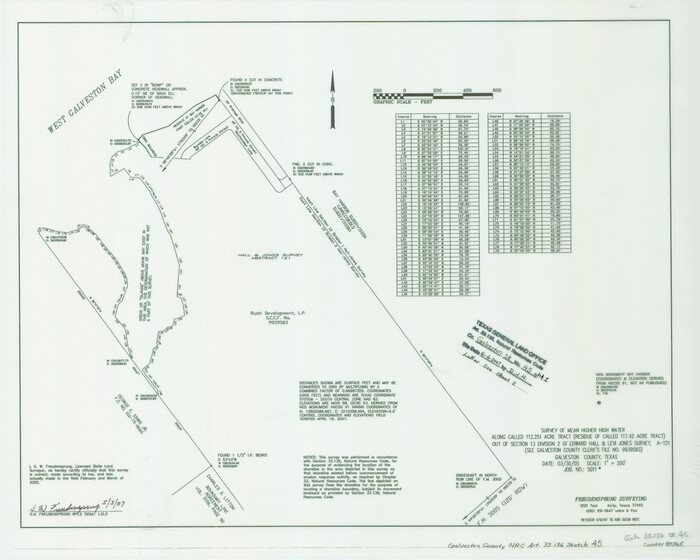
            Galveston County NRC Article 33.136 Sketch 79


                                            Print $292.00                    
                                             -                         Digital $50.00                                    
                Galveston County NRC Article 33.136 Sketch 79
2015
Size 22.0 x 34.0 inches
                                Map/Doc 94880
            
            Crockett County Sketch File 9


                                            Print $12.00                    
                                             -                         Digital $50.00                                    
                Crockett County Sketch File 9
1881
Size 9.0 x 10.0 inches
                                Map/Doc 19655
            
            Henderson County Rolled Sketch 8


                                            Print $40.00                    
                                             -                         Digital $50.00                                    
                Henderson County Rolled Sketch 8
1963
Size 37.3 x 50.9 inches
                                Map/Doc 9164
            
            Map of Kendall County


                                            Print $20.00                    
                                             -                         Digital $50.00                                    
                Map of Kendall County
1862
Size 21.0 x 20.0 inches
                                Map/Doc 3754
            
            Potter County Sketch File 3


                                            Print $20.00                    
                                             -                         Digital $50.00                                    
                Potter County Sketch File 3
1883
Size 37.5 x 47.6 inches
                                Map/Doc 10574
            
            Hardin County


                                            Print $20.00                    
                                             -                         Digital $50.00                                    
                Hardin County
1894
Size 46.8 x 43.4 inches
                                Map/Doc 16846
            
            [Sketches in McMullen County, San Patricio District]
            
                                    ![69747, [Sketches in McMullen County, San Patricio District], General Map Collection](https://historictexasmaps.com/wmedia_w700/maps/69747.tif.jpg) 


    ![69747, [Sketches in McMullen County, San Patricio District], General Map Collection](https://historictexasmaps.com/wmedia_w700/maps/69747.tif.jpg) 
                                
            
                                            Print $2.00                    
                                             -                         Digital $50.00                                    
                [Sketches in McMullen County, San Patricio District]
1842
Size 10.5 x 8.0 inches
                                Map/Doc 69747
            
            The great railroad routes to the Pacific, and their connections


                                            Print $20.00                    
                                             -                         Digital $50.00                                    
                The great railroad routes to the Pacific, and their connections
1869
Size 16.3 x 29.4 inches
                                Map/Doc 96974
            
            Harris County Sketch File 54


                                            Print $6.00                    
                                             -                         Digital $50.00                                    
                Harris County Sketch File 54
Size 14.5 x 8.8 inches
                                Map/Doc 25451
            
            Caldwell County Sketch File 5


                                            Print $8.00                    
                                             -                         Digital $50.00                                    
                Caldwell County Sketch File 5
Size 14.1 x 8.6 inches
                                Map/Doc 35843
            
            Pecos County Sketch File 54


                                            Print $20.00                    
                                             -                         Digital $50.00                                    
                Pecos County Sketch File 54
Size 14.5 x 22.4 inches
                                Map/Doc 12180
            
            Nueces County Sketch File 76


                                            Print $54.00                    
                                             -                         Digital $50.00                                    
                Nueces County Sketch File 76
1992
Size 11.0 x 8.6 inches
                                Map/Doc 33032
            You may also like
            Moxley-McWhorter Irrigated Farm


                                            Print $20.00                    
                                             -                         Digital $50.00                                    
                Moxley-McWhorter Irrigated Farm
1946
Size 27.5 x 15.8 inches
                                Map/Doc 92338
            
            Clarkson's City Map of Port Aransas


                                            Print $20.00                    
                                             -                         Digital $50.00                                    
                Clarkson's City Map of Port Aransas
Size 18.5 x 26.7 inches
                                Map/Doc 3038
            
            Real County Working Sketch Graphic Index, Sheet 1 (Sketches 1 to 42)


                                            Print $20.00                    
                                             -                         Digital $50.00                                    
                Real County Working Sketch Graphic Index, Sheet 1 (Sketches 1 to 42)
1972
Size 42.9 x 31.0 inches
                                Map/Doc 76678
            
            Flight Mission No. CRC-3R, Frame 37, Chambers County


                                            Print $20.00                    
                                             -                         Digital $50.00                                    
                Flight Mission No. CRC-3R, Frame 37, Chambers County
1956
Size 18.6 x 22.4 inches
                                Map/Doc 84810
            
            Die Vereinigten Staaten von Nord-America


                                            Print $20.00                    
                                             -                         Digital $50.00                                    
                Die Vereinigten Staaten von Nord-America
1834
Size 23.5 x 28.1 inches
                                Map/Doc 93694
            
            Flight Mission No. BQR-13K, Frame 20, Brazoria County


                                            Print $20.00                    
                                             -                         Digital $50.00                                    
                Flight Mission No. BQR-13K, Frame 20, Brazoria County
1952
Size 18.9 x 22.5 inches
                                Map/Doc 84068
            
            Zavala County Rolled Sketch 28


                                            Print $20.00                    
                                             -                         Digital $50.00                                    
                Zavala County Rolled Sketch 28
1956
Size 29.6 x 41.2 inches
                                Map/Doc 8330
            
            Hunt County Boundary File 10b


                                            Print $4.00                    
                                             -                         Digital $50.00                                    
                Hunt County Boundary File 10b
Size 11.3 x 8.9 inches
                                Map/Doc 55264
            
            Map of Kent County, 1889


                                            Print $20.00                    
                                             -                         Digital $50.00                                    
                Map of Kent County, 1889
1889
Size 27.2 x 20.2 inches
                                Map/Doc 3756
            
            Map of Fannin County


                                            Print $20.00                    
                                             -                         Digital $50.00                                    
                Map of Fannin County
1866
Size 21.9 x 18.1 inches
                                Map/Doc 3534
            
            Calhoun County Aerial Photograph Index Sheet 4


                                            Print $20.00                    
                                             -                         Digital $50.00                                    
                Calhoun County Aerial Photograph Index Sheet 4
1953
Size 24.2 x 19.7 inches
                                Map/Doc 87211
            ![78353, [Atlas C, Table of Contents], General Map Collection](https://historictexasmaps.com/wmedia_w1800h1800/maps/78353.tif.jpg)