
9th Street & Ave. A. Galveston, Texas showing beginning of jetty right of way, and seawall extension track
1920

A How to Get From Here to There Map and Water Too of Metropolitan Houston
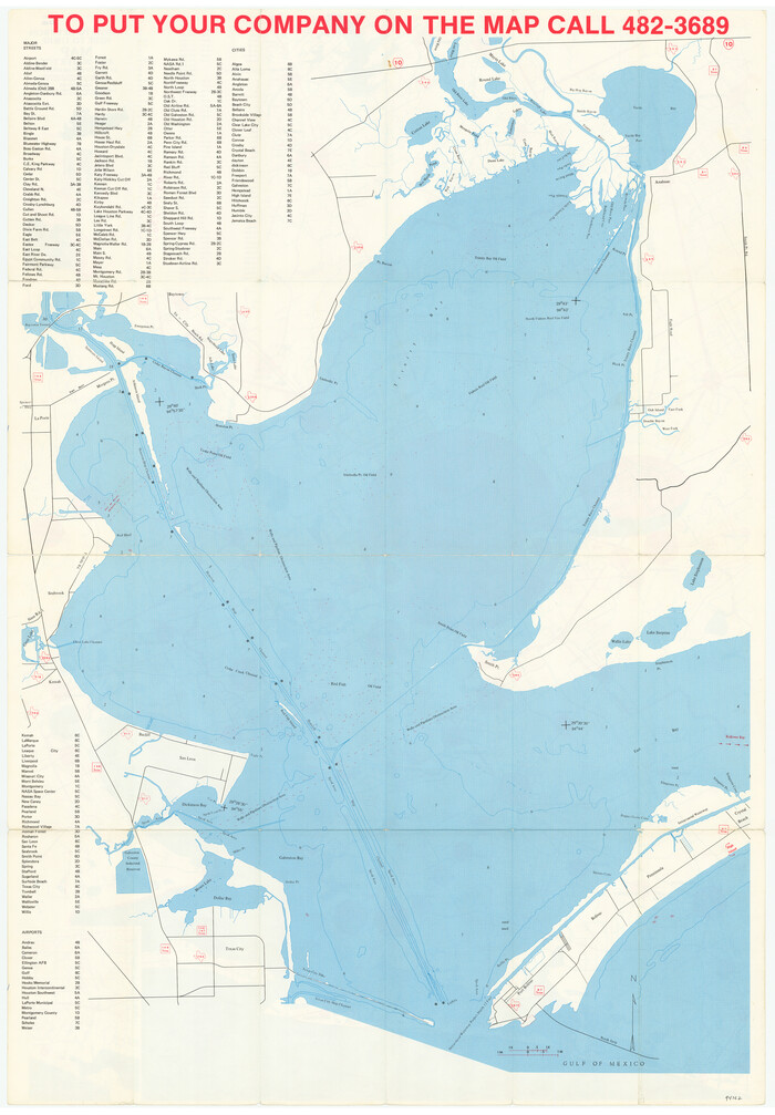
A How to Get From Here to There Map and Water Too of Metropolitan Houston
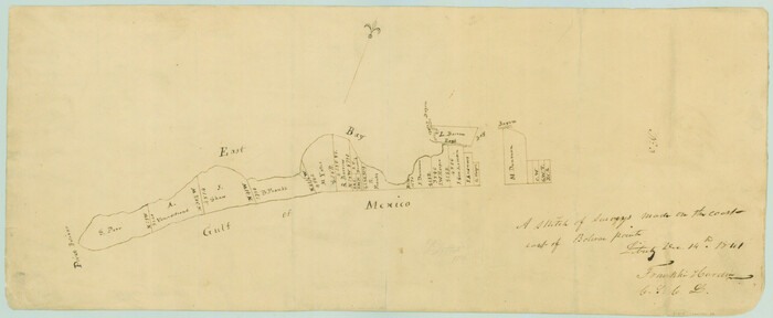
A sketch of surveys made on the coast east of Bolivar Point
1841

Approaches to Galveston Bay
1972
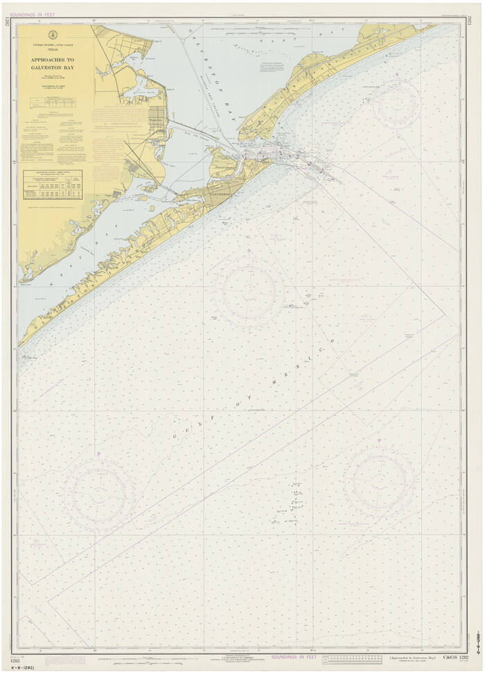
Approaches to Galveston Bay
1973
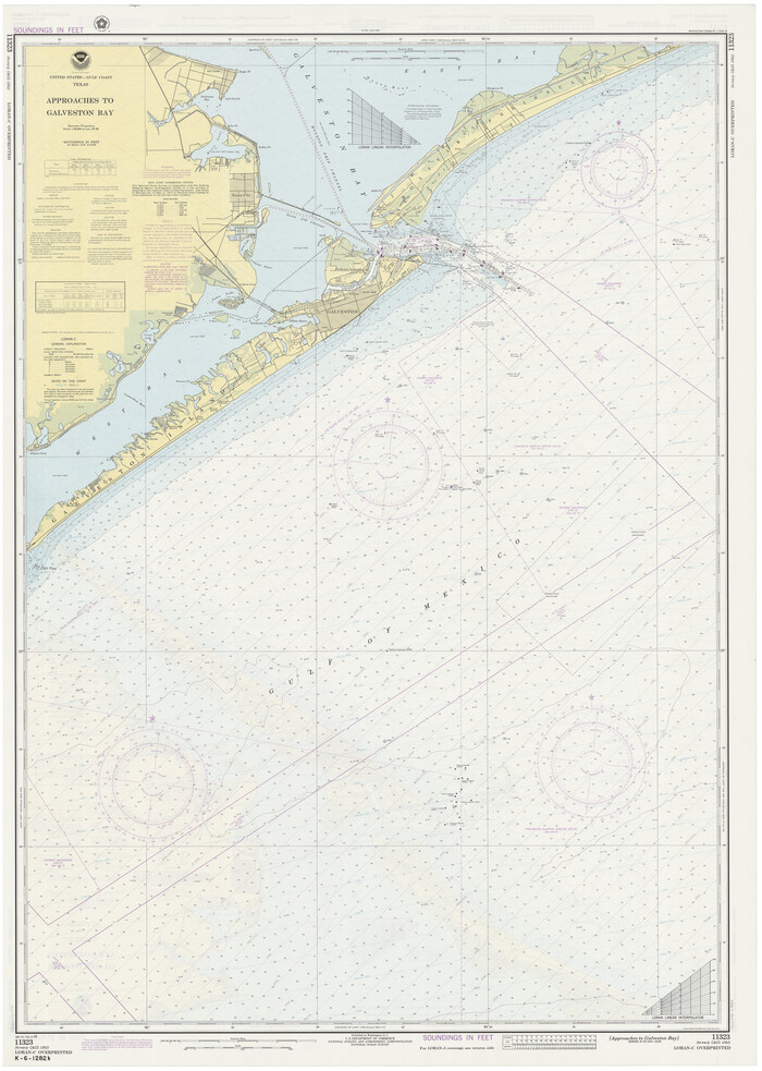
Approaches to Galveston Bay
1976

Approaches to Galveston Bay
1982

Approaches to Galveston Bay
1986
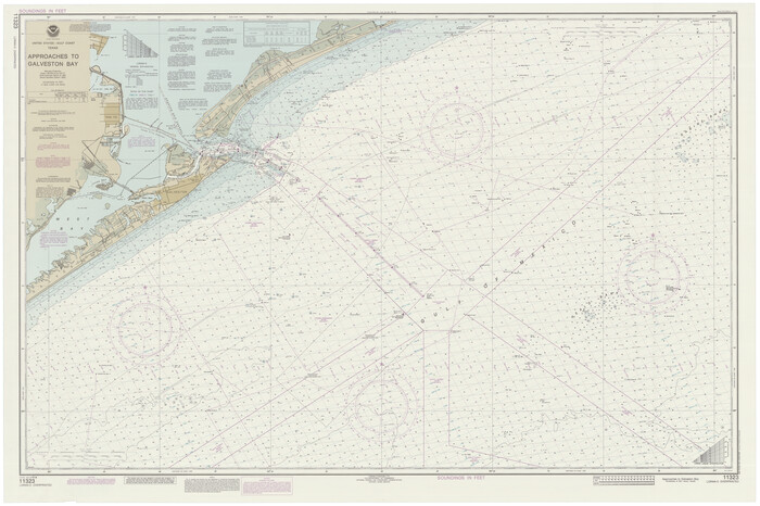
Approaches to Galveston Bay
1989
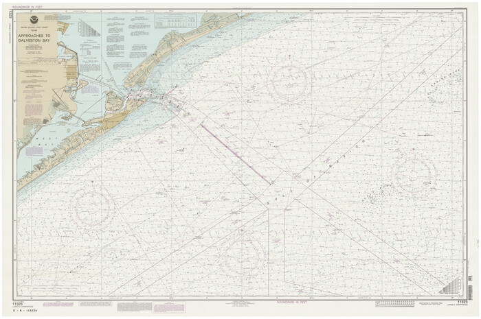
Approaches to Galveston Bay
1992

Bird's Eye View of the City of Galveston Texas
1871

Brazoria County Rolled Sketch 25
1935

Brazoria County Rolled Sketch 25A

Brazoria County Rolled Sketch 25B

Brazoria County Rolled Sketch 34
1944
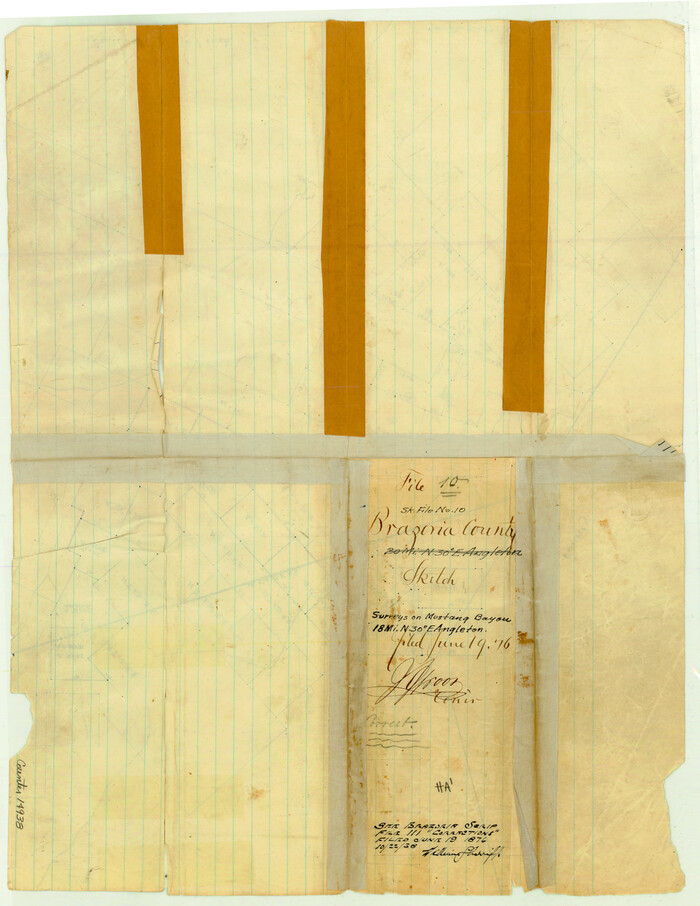
Brazoria County Sketch File 10

Brazoria County Sketch File 1a
1861

Brazoria County Sketch File 23

Brazoria County Sketch File 24
1868
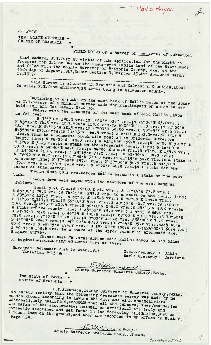
Brazoria County Sketch File 49

Brazoria County Sketch File 56
1986
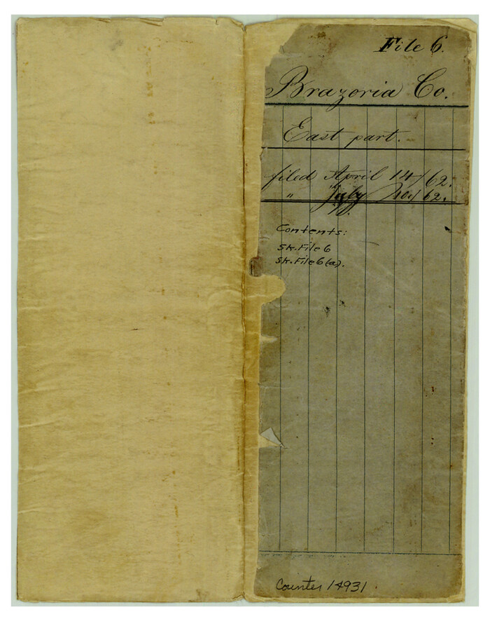
Brazoria County Sketch File 6
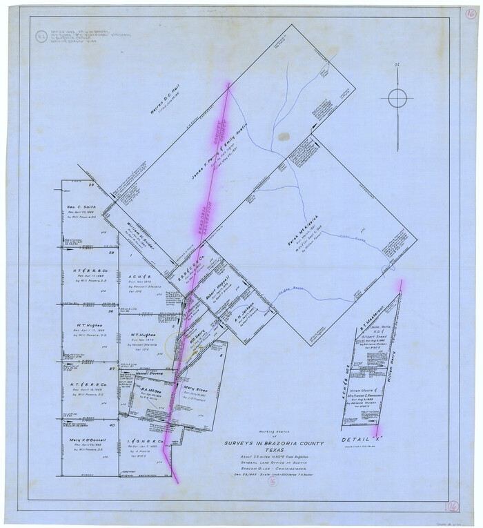
Brazoria County Working Sketch 16
1943
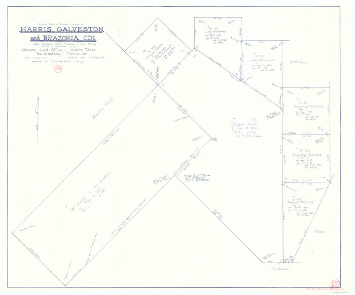
Brazoria County Working Sketch 33
1980

Brazoria County Working Sketch 48
1990
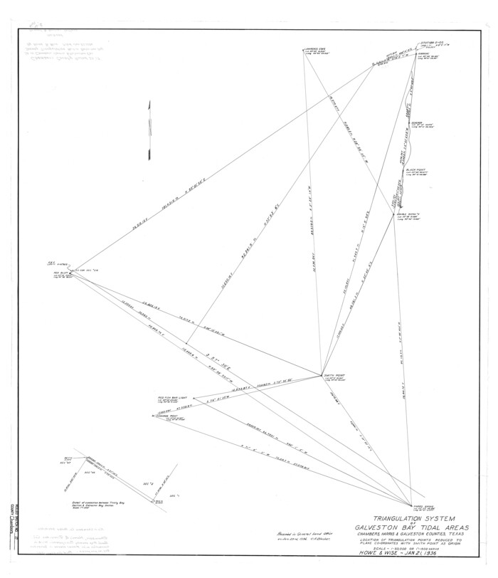
Chambers County Rolled Sketch 17
1936

Chambers County Rolled Sketch CL
1909

Chambers County Sketch File 24
1909

Chambers County Sketch File 41

9th Street & Ave. A. Galveston, Texas showing beginning of jetty right of way, and seawall extension track
1920
-
Size
21.3 x 33.6 inches
-
Map/Doc
73630
-
Creation Date
1920

A How to Get From Here to There Map and Water Too of Metropolitan Houston
-
Size
36.6 x 25.5 inches
-
Map/Doc
94361

A How to Get From Here to There Map and Water Too of Metropolitan Houston
-
Size
36.7 x 25.5 inches
-
Map/Doc
94362

A sketch of surveys made on the coast east of Bolivar Point
1841
-
Size
9.1 x 22.0 inches
-
Map/Doc
22
-
Creation Date
1841

Approaches to Galveston Bay
1972
-
Size
50.2 x 36.0 inches
-
Map/Doc
69881
-
Creation Date
1972

Approaches to Galveston Bay
1973
-
Size
49.8 x 35.6 inches
-
Map/Doc
69882
-
Creation Date
1973

Approaches to Galveston Bay
1976
-
Size
50.3 x 35.9 inches
-
Map/Doc
69883
-
Creation Date
1976

Approaches to Galveston Bay
1982
-
Size
53.1 x 36.7 inches
-
Map/Doc
69884
-
Creation Date
1982

Approaches to Galveston Bay
1986
-
Size
36.8 x 54.8 inches
-
Map/Doc
69886
-
Creation Date
1986

Approaches to Galveston Bay
1989
-
Size
37.1 x 55.6 inches
-
Map/Doc
69887
-
Creation Date
1989

Approaches to Galveston Bay
1992
-
Size
36.6 x 55.6 inches
-
Map/Doc
69888
-
Creation Date
1992

Bird's Eye View of the City of Galveston Texas
1871
-
Size
20.4 x 30.8 inches
-
Map/Doc
89086
-
Creation Date
1871

Brazoria County Rolled Sketch 25
1935
-
Size
50.8 x 33.5 inches
-
Map/Doc
8928
-
Creation Date
1935

Brazoria County Rolled Sketch 25A
-
Size
10.1 x 17.0 inches
-
Map/Doc
42749

Brazoria County Rolled Sketch 25B
-
Size
28.0 x 15.8 inches
-
Map/Doc
42752

Brazoria County Rolled Sketch 34
1944
-
Size
29.8 x 18.3 inches
-
Map/Doc
5171
-
Creation Date
1944

Brazoria County Sketch File 10
-
Size
16.4 x 12.7 inches
-
Map/Doc
14938

Brazoria County Sketch File 1a
1861
-
Size
12.5 x 11.5 inches
-
Map/Doc
14918
-
Creation Date
1861

Brazoria County Sketch File 23
-
Size
12.7 x 12.2 inches
-
Map/Doc
15020

Brazoria County Sketch File 24
1868
-
Size
11.3 x 10.4 inches
-
Map/Doc
15022
-
Creation Date
1868

Brazoria County Sketch File 49
-
Size
14.2 x 8.7 inches
-
Map/Doc
15112

Brazoria County Sketch File 56
1986
-
Size
10.4 x 7.5 inches
-
Map/Doc
15327
-
Creation Date
1986

Brazoria County Sketch File 6
-
Size
9.0 x 7.1 inches
-
Map/Doc
14931

Brazoria County Working Sketch 16
1943
-
Size
35.3 x 32.3 inches
-
Map/Doc
67501
-
Creation Date
1943

Brazoria County Working Sketch 33
1980
-
Size
29.6 x 35.6 inches
-
Map/Doc
67518
-
Creation Date
1980

Brazoria County Working Sketch 48
1990
-
Size
25.2 x 29.5 inches
-
Map/Doc
67533
-
Creation Date
1990

Chambers County Rolled Sketch 17
1936
-
Size
38.0 x 32.8 inches
-
Map/Doc
5425
-
Creation Date
1936

Chambers County Rolled Sketch CL
1909
-
Size
56.2 x 21.0 inches
-
Map/Doc
8610
-
Creation Date
1909

Chambers County Sketch File 24
1909
-
Size
34.1 x 14.5 inches
-
Map/Doc
11065
-
Creation Date
1909

Chambers County Sketch File 41
-
Size
14.7 x 9.1 inches
-
Map/Doc
17694