
Garza County Working Sketch 16
1994
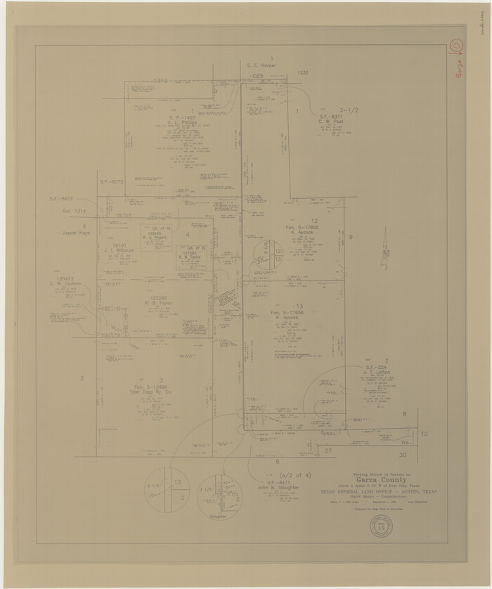
Garza County Working Sketch 15
1994

Borden - Garza County Line as agreed upon in the 118th Judicial District Court, Howard County, Texas Case No. 13,023
1965
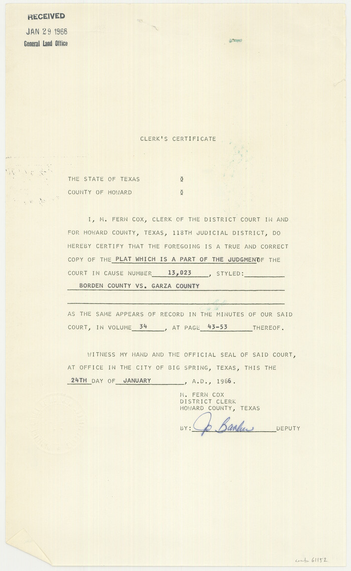
Borden and Garza County Boundary Line Plat
1965
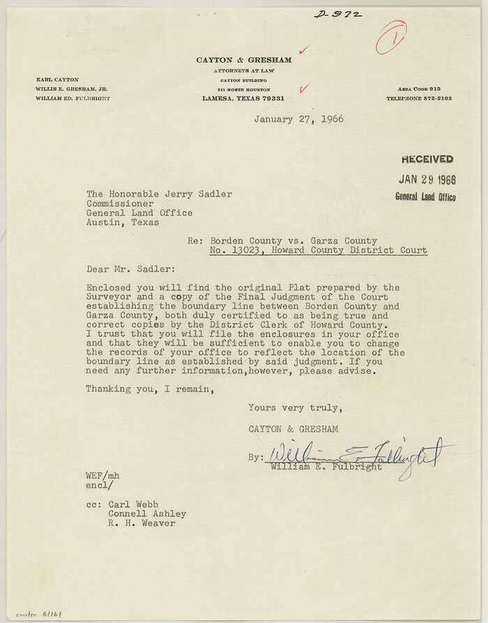
Borden County Boundary File 7
1965

Sketch showing county lines of Lynn, Garza, Borden, Scurry
1961

General Highway Map, Garza County, Texas
1961
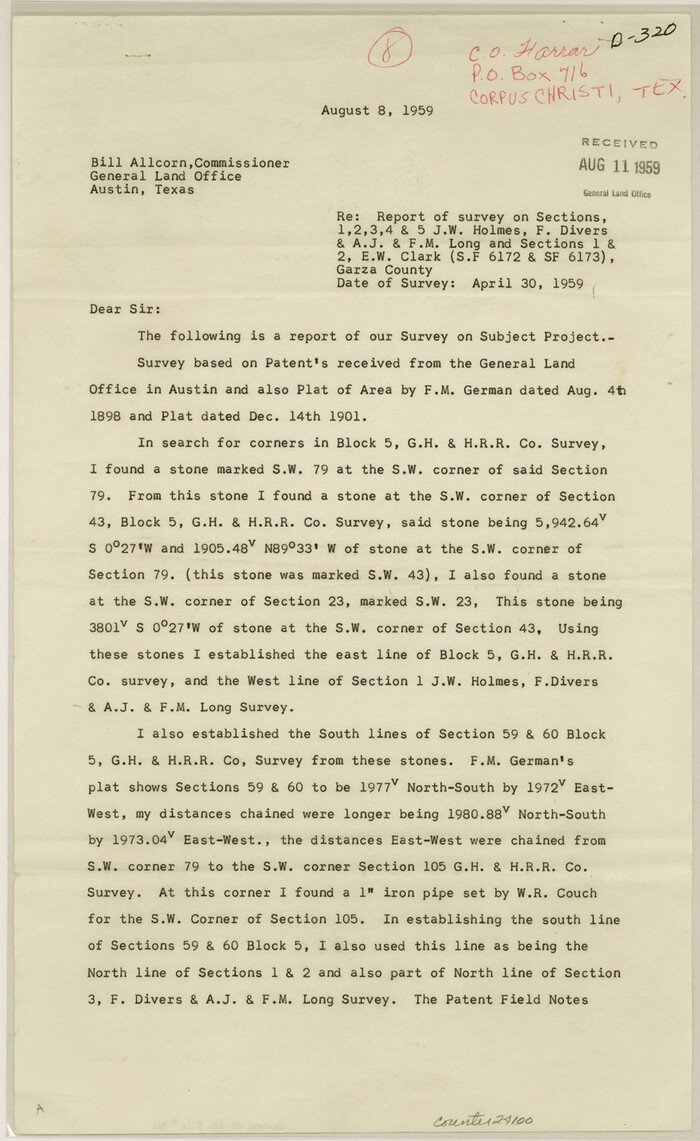
Garza County Sketch File 30
1959

Garza County Rolled Sketch 17
1959
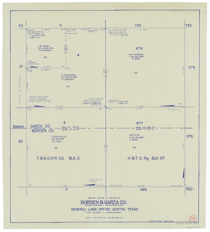
Borden County Working Sketch 14
1959

Garza County Working Sketch 14
1957

Garza County Working Sketch 12
1956
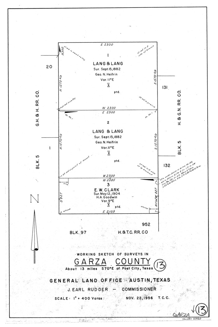
Garza County Working Sketch 13
1956
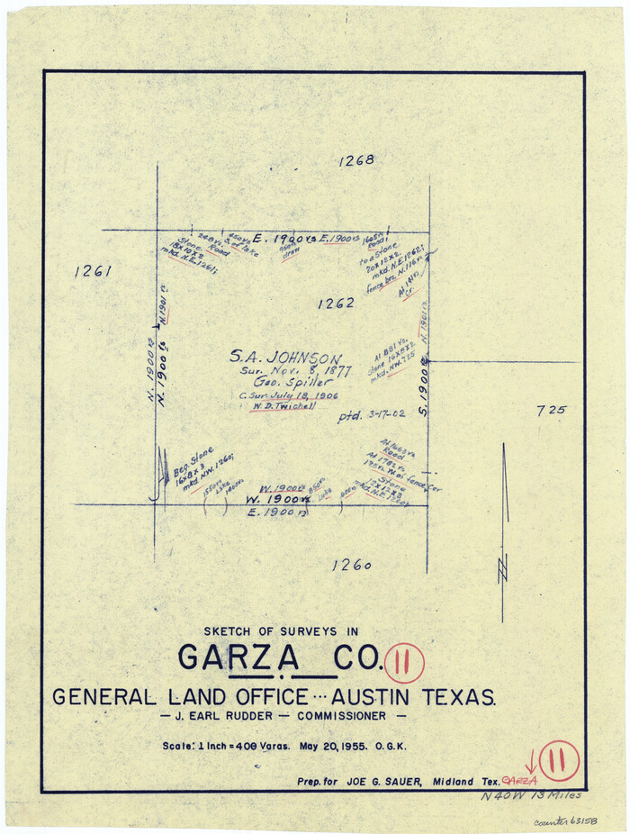
Garza County Working Sketch 11
1955

Garza County Working Sketch 10
1953
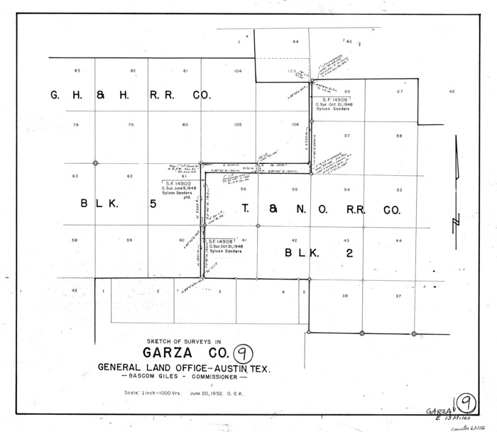
Garza County Working Sketch 9
1952
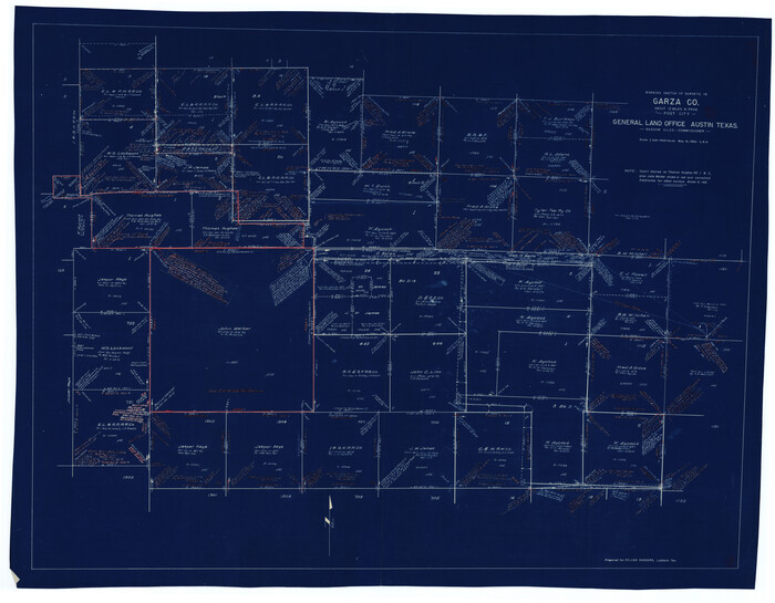
Garza County Working Sketch 8
1950

General Highway Map of Garza County, Texas
1950
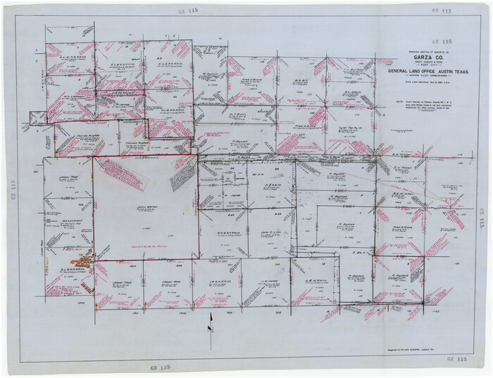
Working Sketch of Surveys in Garza Co. About 12 Miles N. from Post City
1950
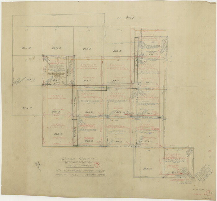
Garza County Working Sketch 7
1949

Garza County Plat
1948
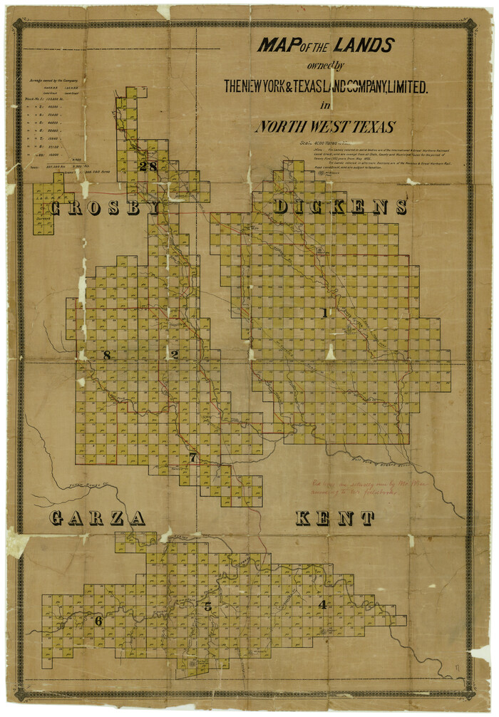
Dickens County Rolled Sketch 7
1947

Borden County Working Sketch 6
1944

Garza County Working Sketch 6
1944

Garza County Working Sketch 5
1943
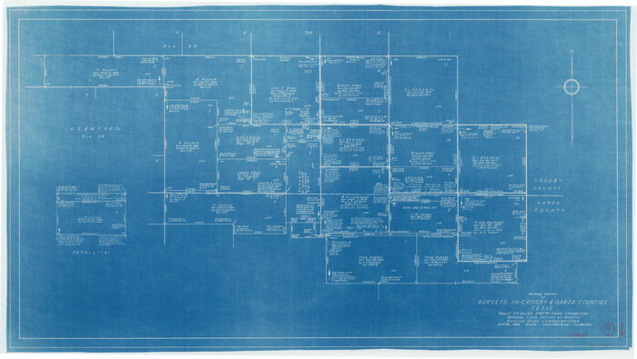
Crosby County Working Sketch 9
1943

General Highway Map, Garza County, Texas
1940

Crosby County Working Sketch 7
1938

Map of Garza County, Texas
1936

Map of Garza County, Texas
1936

Garza County Working Sketch 16
1994
-
Size
21.7 x 40.3 inches
-
Map/Doc
63163
-
Creation Date
1994

Garza County Working Sketch 15
1994
-
Size
32.2 x 26.9 inches
-
Map/Doc
63162
-
Creation Date
1994

Borden - Garza County Line as agreed upon in the 118th Judicial District Court, Howard County, Texas Case No. 13,023
1965
-
Size
19.0 x 102.2 inches
-
Map/Doc
1697
-
Creation Date
1965

Borden and Garza County Boundary Line Plat
1965
-
Size
14.2 x 8.8 inches
-
Map/Doc
61152
-
Creation Date
1965

Borden County Boundary File 7
1965
-
Size
11.2 x 8.8 inches
-
Map/Doc
61161
-
Creation Date
1965

Sketch showing county lines of Lynn, Garza, Borden, Scurry
1961
-
Size
23.9 x 79.9 inches
-
Map/Doc
1719
-
Creation Date
1961

General Highway Map, Garza County, Texas
1961
-
Size
18.2 x 24.6 inches
-
Map/Doc
79478
-
Creation Date
1961

Garza County Sketch File 30
1959
-
Size
14.3 x 8.8 inches
-
Map/Doc
24100
-
Creation Date
1959

Garza County Rolled Sketch 17
1959
-
Size
32.3 x 37.6 inches
-
Map/Doc
6003
-
Creation Date
1959

Borden County Working Sketch 14
1959
-
Size
27.8 x 25.2 inches
-
Map/Doc
67474
-
Creation Date
1959

Garza County Working Sketch 14
1957
-
Size
24.3 x 35.0 inches
-
Map/Doc
63161
-
Creation Date
1957

Garza County Working Sketch 12
1956
-
Size
31.9 x 24.4 inches
-
Map/Doc
63159
-
Creation Date
1956

Garza County Working Sketch 13
1956
-
Size
19.0 x 12.7 inches
-
Map/Doc
63160
-
Creation Date
1956

Garza County Working Sketch 11
1955
-
Size
14.5 x 10.9 inches
-
Map/Doc
63158
-
Creation Date
1955

Garza County Working Sketch 10
1953
-
Size
11.1 x 18.7 inches
-
Map/Doc
63157
-
Creation Date
1953

Garza County Working Sketch 9
1952
-
Size
15.7 x 18.0 inches
-
Map/Doc
63156
-
Creation Date
1952

Garza County Working Sketch 8
1950
-
Size
37.4 x 48.0 inches
-
Map/Doc
63155
-
Creation Date
1950

General Highway Map of Garza County, Texas
1950
-
Size
25.9 x 18.8 inches
-
Map/Doc
92646
-
Creation Date
1950

Working Sketch of Surveys in Garza Co. About 12 Miles N. from Post City
1950
-
Size
48.5 x 37.4 inches
-
Map/Doc
89872
-
Creation Date
1950

Garza County Working Sketch 7
1949
-
Size
26.0 x 28.2 inches
-
Map/Doc
63154
-
Creation Date
1949

Garza County Plat
1948
-
Size
21.1 x 17.7 inches
-
Map/Doc
92703
-
Creation Date
1948

Dickens County Rolled Sketch 7
1947
-
Size
33.6 x 23.6 inches
-
Map/Doc
5706
-
Creation Date
1947

Borden County Working Sketch 6
1944
-
Size
24.6 x 23.0 inches
-
Map/Doc
67466
-
Creation Date
1944

Garza County Working Sketch 6
1944
-
Size
24.8 x 20.2 inches
-
Map/Doc
63153
-
Creation Date
1944

Garza County Working Sketch 5
1943
-
Size
19.4 x 34.7 inches
-
Map/Doc
63152
-
Creation Date
1943

Crosby County Working Sketch 9
1943
-
Size
19.8 x 35.2 inches
-
Map/Doc
68443
-
Creation Date
1943

General Highway Map, Garza County, Texas
1940
-
Size
18.1 x 24.6 inches
-
Map/Doc
79098
-
Creation Date
1940

Crosby County Working Sketch 7
1938
-
Size
33.8 x 21.6 inches
-
Map/Doc
68441
-
Creation Date
1938

Map of Garza County, Texas
1936
-
Size
28.7 x 36.3 inches
-
Map/Doc
92648
-
Creation Date
1936

Map of Garza County, Texas
1936
-
Size
28.8 x 36.5 inches
-
Map/Doc
92650
-
Creation Date
1936