[Travis District]
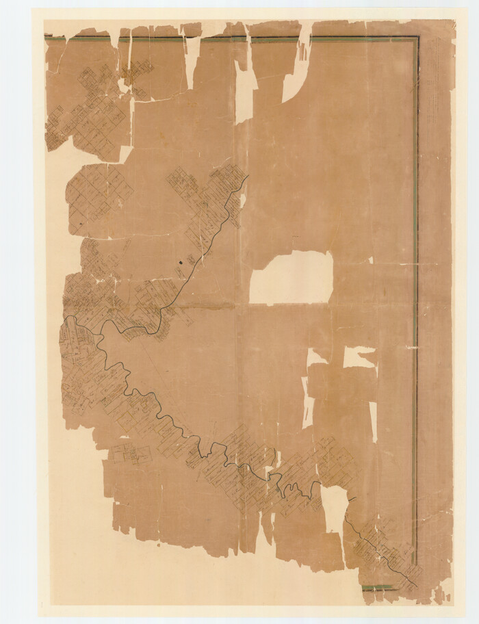
Print $40.00
- Digital $50.00
[Travis District]
1840
Size: 54.7 x 42.0 inches
88739
[Travis District]
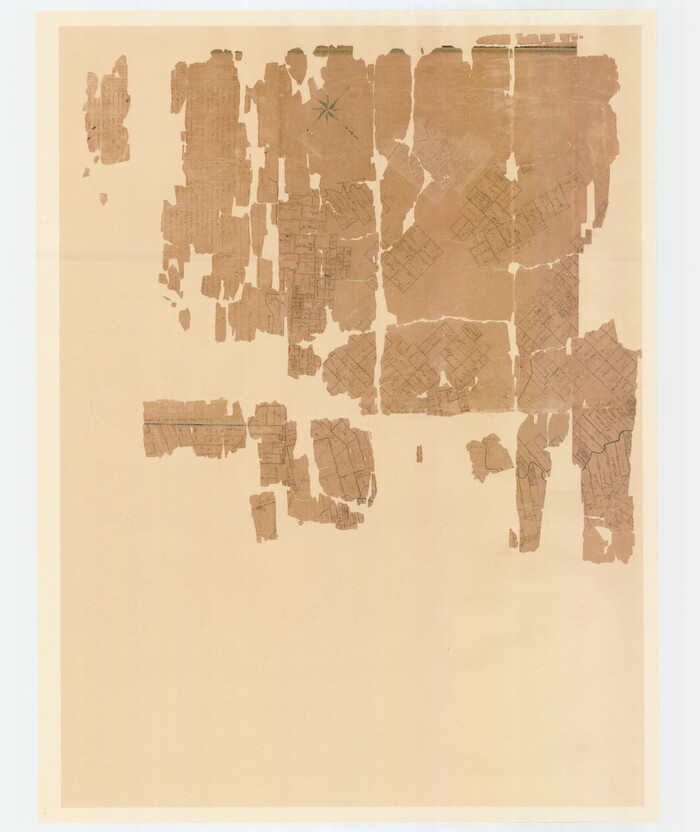
Print $40.00
- Digital $50.00
[Travis District]
1840
Size: 54.7 x 46.0 inches
88740
[Surveys in Mills, Hamilton, Coryell and Bell Counties]
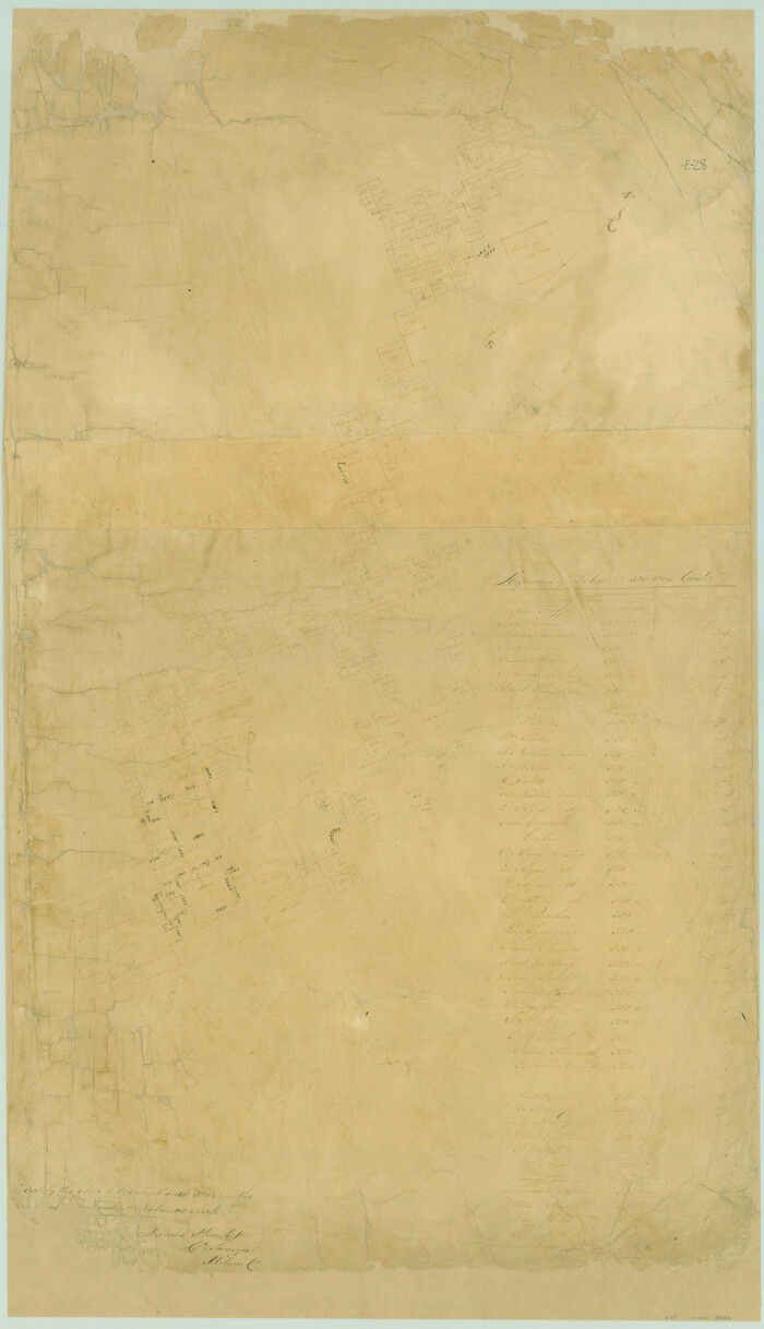
Print $20.00
- Digital $50.00
[Surveys in Mills, Hamilton, Coryell and Bell Counties]
Size: 33.9 x 19.5 inches
78362
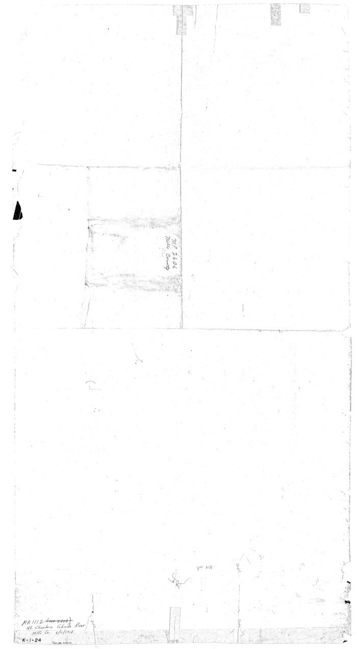
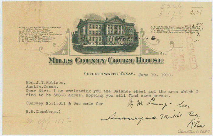
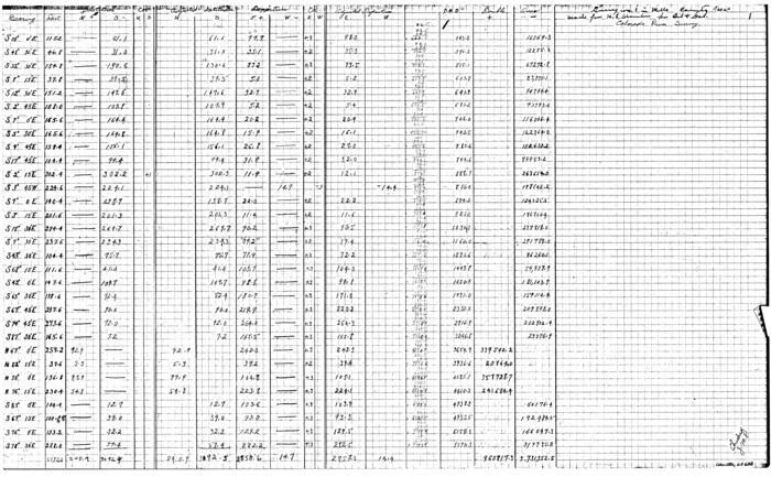
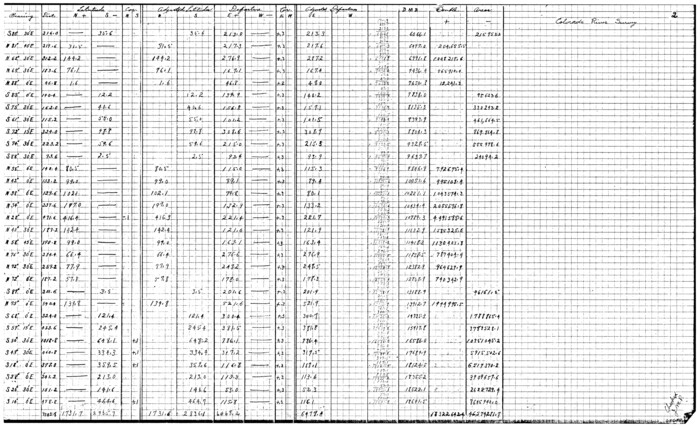
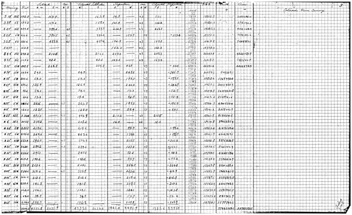
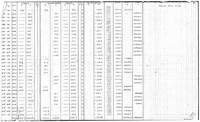
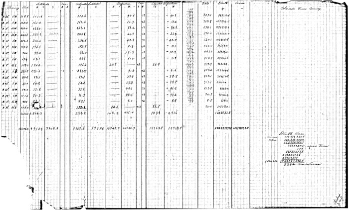
[Sketch for Mineral Application 1112 - Colorado River, H. E. Chambers]
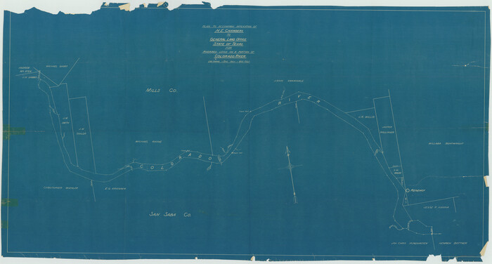
Print $40.00
- Digital $50.00
[Sketch for Mineral Application 1112 - Colorado River, H. E. Chambers]
1918
Size: 25.8 x 48.1 inches
65635
[Sketch for Mineral Application 1112 - Colorado River, H. E. Chambers]
Print $40.00
- Digital $50.00
[Sketch for Mineral Application 1112 - Colorado River, H. E. Chambers]
1918
Size: 48.2 x 26.5 inches
65636
[Sketch for Mineral Application 1112 - Colorado River, H. E. Chambers]
Print $20.00
- Digital $50.00
[Sketch for Mineral Application 1112 - Colorado River, H. E. Chambers]
1918
Size: 5.5 x 8.5 inches
65637
[Sketch for Mineral Application 1112 - Colorado River, H. E. Chambers]
Print $20.00
- Digital $50.00
[Sketch for Mineral Application 1112 - Colorado River, H. E. Chambers]
1918
Size: 17.5 x 28.2 inches
65638
[Sketch for Mineral Application 1112 - Colorado River, H. E. Chambers]
Print $20.00
- Digital $50.00
[Sketch for Mineral Application 1112 - Colorado River, H. E. Chambers]
1918
Size: 17.3 x 28.3 inches
65639
[Sketch for Mineral Application 1112 - Colorado River, H. E. Chambers]
Print $20.00
- Digital $50.00
[Sketch for Mineral Application 1112 - Colorado River, H. E. Chambers]
1918
Size: 17.2 x 28.3 inches
65640
[Sketch for Mineral Application 1112 - Colorado River, H. E. Chambers]
Print $20.00
- Digital $50.00
[Sketch for Mineral Application 1112 - Colorado River, H. E. Chambers]
1918
Size: 17.4 x 28.5 inches
65641
[Sketch for Mineral Application 1112 - Colorado River, H. E. Chambers]
Print $20.00
- Digital $50.00
[Sketch for Mineral Application 1112 - Colorado River, H. E. Chambers]
1918
Size: 17.1 x 28.4 inches
65642
Water-Shed of the Colorado River

Print $40.00
- Digital $50.00
Water-Shed of the Colorado River
1925
Size: 37.1 x 79.8 inches
65261
Mills County Working Sketch Graphic Index

Print $20.00
- Digital $50.00
Mills County Working Sketch Graphic Index
1976
Size: 35.6 x 45.1 inches
76643
Mills County Working Sketch 9

Print $20.00
- Digital $50.00
Mills County Working Sketch 9
1915
Size: 13.3 x 13.7 inches
71039
Mills County Working Sketch 8

Print $20.00
- Digital $50.00
Mills County Working Sketch 8
1919
Size: 27.6 x 23.3 inches
71038
Mills County Working Sketch 7

Print $20.00
- Digital $50.00
Mills County Working Sketch 7
1914
Size: 12.8 x 13.0 inches
71037
Mills County Working Sketch 6

Print $3.00
- Digital $50.00
Mills County Working Sketch 6
Size: 12.1 x 10.9 inches
71036
Mills County Working Sketch 5

Print $3.00
- Digital $50.00
Mills County Working Sketch 5
1914
Size: 13.1 x 10.8 inches
71035
Mills County Working Sketch 4

Print $3.00
- Digital $50.00
Mills County Working Sketch 4
1906
Size: 10.7 x 11.7 inches
71034
Mills County Working Sketch 3

Print $20.00
- Digital $50.00
Mills County Working Sketch 3
1905
Size: 17.6 x 14.5 inches
71033
Mills County Working Sketch 28

Print $40.00
- Digital $50.00
Mills County Working Sketch 28
2006
Size: 42.0 x 67.4 inches
85385
Mills County Working Sketch 27

Print $20.00
- Digital $50.00
Mills County Working Sketch 27
2000
Size: 37.3 x 47.3 inches
71057
Mills County Working Sketch 26

Print $20.00
- Digital $50.00
Mills County Working Sketch 26
1993
Size: 18.2 x 26.2 inches
71056
Mills County Working Sketch 25

Print $20.00
- Digital $50.00
Mills County Working Sketch 25
1988
Size: 22.0 x 25.1 inches
71055
Mills County Working Sketch 24

Print $20.00
- Digital $50.00
Mills County Working Sketch 24
1988
Size: 40.3 x 36.5 inches
71054
Mills County Working Sketch 23

Print $20.00
- Digital $50.00
Mills County Working Sketch 23
1985
Size: 22.8 x 36.8 inches
71053
Mills County Working Sketch 22

Print $20.00
- Digital $50.00
Mills County Working Sketch 22
1984
Size: 28.7 x 19.8 inches
71052
Mills County Working Sketch 21

Print $20.00
- Digital $50.00
Mills County Working Sketch 21
1981
Size: 33.6 x 37.6 inches
71051
Mills County Working Sketch 20

Print $20.00
- Digital $50.00
Mills County Working Sketch 20
1970
Size: 43.1 x 43.4 inches
71050
Mills County Working Sketch 2

Print $20.00
- Digital $50.00
Mills County Working Sketch 2
1904
Size: 12.7 x 15.8 inches
71032
[Travis District]
Print $40.00
- Digital $50.00
[Travis District]
1840
-
Size
54.7 x 42.0 inches
-
Map/Doc
88739
-
Creation Date
1840
[Travis District]
Print $40.00
- Digital $50.00
[Travis District]
1840
-
Size
54.7 x 46.0 inches
-
Map/Doc
88740
-
Creation Date
1840
[Surveys in Mills, Hamilton, Coryell and Bell Counties]
Print $20.00
- Digital $50.00
[Surveys in Mills, Hamilton, Coryell and Bell Counties]
-
Size
33.9 x 19.5 inches
-
Map/Doc
78362
[Sketch for Mineral Application 1112 - Colorado River, H. E. Chambers]
Print $40.00
- Digital $50.00
[Sketch for Mineral Application 1112 - Colorado River, H. E. Chambers]
1918
-
Size
25.8 x 48.1 inches
-
Map/Doc
65635
-
Creation Date
1918
[Sketch for Mineral Application 1112 - Colorado River, H. E. Chambers]
Print $40.00
- Digital $50.00
[Sketch for Mineral Application 1112 - Colorado River, H. E. Chambers]
1918
-
Size
48.2 x 26.5 inches
-
Map/Doc
65636
-
Creation Date
1918
[Sketch for Mineral Application 1112 - Colorado River, H. E. Chambers]
Print $20.00
- Digital $50.00
[Sketch for Mineral Application 1112 - Colorado River, H. E. Chambers]
1918
-
Size
5.5 x 8.5 inches
-
Map/Doc
65637
-
Creation Date
1918
[Sketch for Mineral Application 1112 - Colorado River, H. E. Chambers]
Print $20.00
- Digital $50.00
[Sketch for Mineral Application 1112 - Colorado River, H. E. Chambers]
1918
-
Size
17.5 x 28.2 inches
-
Map/Doc
65638
-
Creation Date
1918
[Sketch for Mineral Application 1112 - Colorado River, H. E. Chambers]
Print $20.00
- Digital $50.00
[Sketch for Mineral Application 1112 - Colorado River, H. E. Chambers]
1918
-
Size
17.3 x 28.3 inches
-
Map/Doc
65639
-
Creation Date
1918
[Sketch for Mineral Application 1112 - Colorado River, H. E. Chambers]
Print $20.00
- Digital $50.00
[Sketch for Mineral Application 1112 - Colorado River, H. E. Chambers]
1918
-
Size
17.2 x 28.3 inches
-
Map/Doc
65640
-
Creation Date
1918
[Sketch for Mineral Application 1112 - Colorado River, H. E. Chambers]
Print $20.00
- Digital $50.00
[Sketch for Mineral Application 1112 - Colorado River, H. E. Chambers]
1918
-
Size
17.4 x 28.5 inches
-
Map/Doc
65641
-
Creation Date
1918
[Sketch for Mineral Application 1112 - Colorado River, H. E. Chambers]
Print $20.00
- Digital $50.00
[Sketch for Mineral Application 1112 - Colorado River, H. E. Chambers]
1918
-
Size
17.1 x 28.4 inches
-
Map/Doc
65642
-
Creation Date
1918
Water-Shed of the Colorado River
Print $40.00
- Digital $50.00
Water-Shed of the Colorado River
1925
-
Size
37.1 x 79.8 inches
-
Map/Doc
65261
-
Creation Date
1925
Mills County Working Sketch Graphic Index
Print $20.00
- Digital $50.00
Mills County Working Sketch Graphic Index
1976
-
Size
35.6 x 45.1 inches
-
Map/Doc
76643
-
Creation Date
1976
Mills County Working Sketch 9
Print $20.00
- Digital $50.00
Mills County Working Sketch 9
1915
-
Size
13.3 x 13.7 inches
-
Map/Doc
71039
-
Creation Date
1915
Mills County Working Sketch 8
Print $20.00
- Digital $50.00
Mills County Working Sketch 8
1919
-
Size
27.6 x 23.3 inches
-
Map/Doc
71038
-
Creation Date
1919
Mills County Working Sketch 7
Print $20.00
- Digital $50.00
Mills County Working Sketch 7
1914
-
Size
12.8 x 13.0 inches
-
Map/Doc
71037
-
Creation Date
1914
Mills County Working Sketch 6
Print $3.00
- Digital $50.00
Mills County Working Sketch 6
-
Size
12.1 x 10.9 inches
-
Map/Doc
71036
Mills County Working Sketch 5
Print $3.00
- Digital $50.00
Mills County Working Sketch 5
1914
-
Size
13.1 x 10.8 inches
-
Map/Doc
71035
-
Creation Date
1914
Mills County Working Sketch 4
Print $3.00
- Digital $50.00
Mills County Working Sketch 4
1906
-
Size
10.7 x 11.7 inches
-
Map/Doc
71034
-
Creation Date
1906
Mills County Working Sketch 3
Print $20.00
- Digital $50.00
Mills County Working Sketch 3
1905
-
Size
17.6 x 14.5 inches
-
Map/Doc
71033
-
Creation Date
1905
Mills County Working Sketch 28
Print $40.00
- Digital $50.00
Mills County Working Sketch 28
2006
-
Size
42.0 x 67.4 inches
-
Map/Doc
85385
-
Creation Date
2006
Mills County Working Sketch 27
Print $20.00
- Digital $50.00
Mills County Working Sketch 27
2000
-
Size
37.3 x 47.3 inches
-
Map/Doc
71057
-
Creation Date
2000
Mills County Working Sketch 26
Print $20.00
- Digital $50.00
Mills County Working Sketch 26
1993
-
Size
18.2 x 26.2 inches
-
Map/Doc
71056
-
Creation Date
1993
Mills County Working Sketch 25
Print $20.00
- Digital $50.00
Mills County Working Sketch 25
1988
-
Size
22.0 x 25.1 inches
-
Map/Doc
71055
-
Creation Date
1988
Mills County Working Sketch 24
Print $20.00
- Digital $50.00
Mills County Working Sketch 24
1988
-
Size
40.3 x 36.5 inches
-
Map/Doc
71054
-
Creation Date
1988
Mills County Working Sketch 23
Print $20.00
- Digital $50.00
Mills County Working Sketch 23
1985
-
Size
22.8 x 36.8 inches
-
Map/Doc
71053
-
Creation Date
1985
Mills County Working Sketch 22
Print $20.00
- Digital $50.00
Mills County Working Sketch 22
1984
-
Size
28.7 x 19.8 inches
-
Map/Doc
71052
-
Creation Date
1984
Mills County Working Sketch 21
Print $20.00
- Digital $50.00
Mills County Working Sketch 21
1981
-
Size
33.6 x 37.6 inches
-
Map/Doc
71051
-
Creation Date
1981
Mills County Working Sketch 20
Print $20.00
- Digital $50.00
Mills County Working Sketch 20
1970
-
Size
43.1 x 43.4 inches
-
Map/Doc
71050
-
Creation Date
1970
Mills County Working Sketch 2
Print $20.00
- Digital $50.00
Mills County Working Sketch 2
1904
-
Size
12.7 x 15.8 inches
-
Map/Doc
71032
-
Creation Date
1904